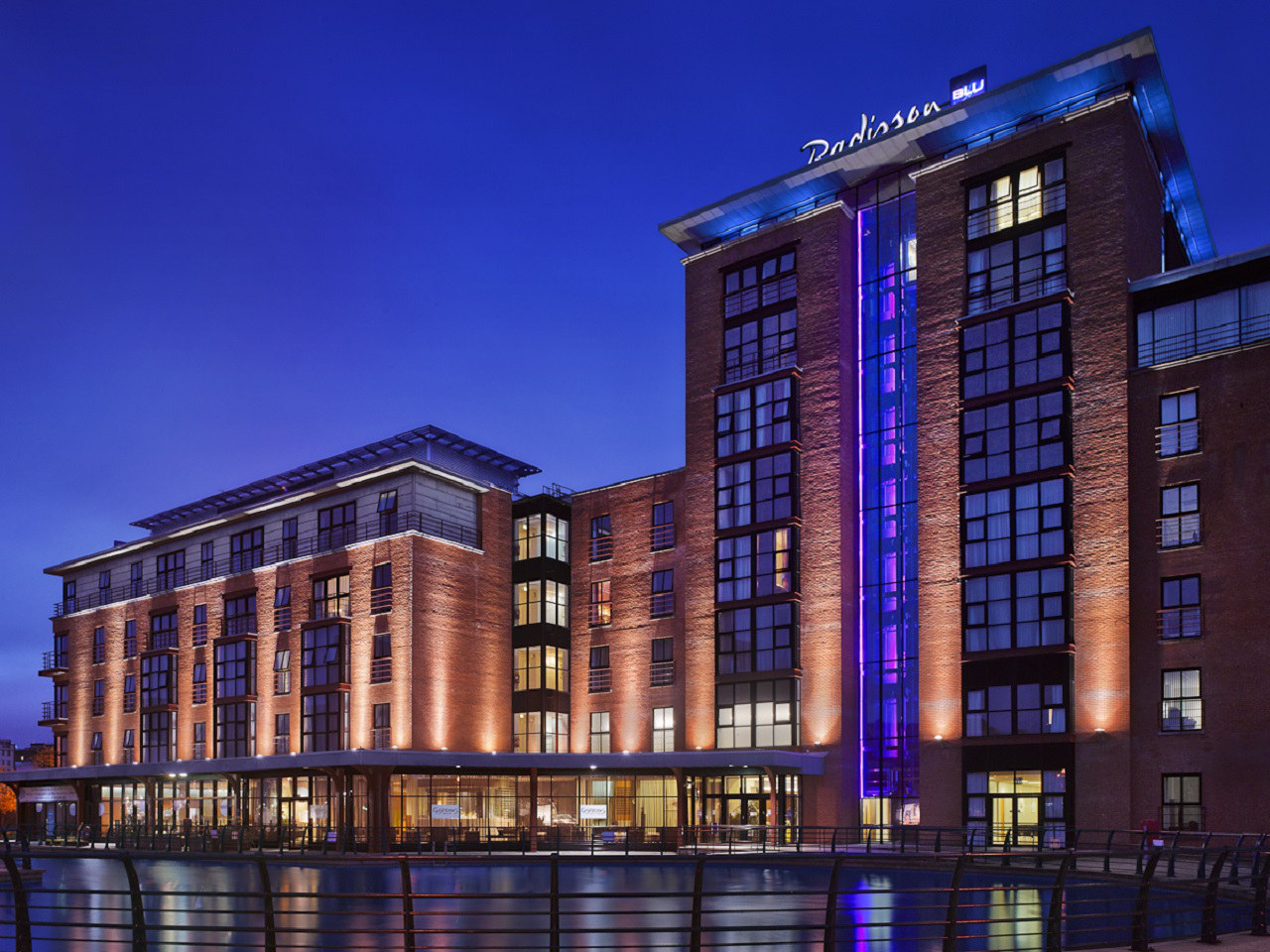


The Old Inn
The Old Inn at Crawfordsburn is ideally located between Bangor and Belfast with George Best…
Islandmagee is a peninsula on the East Antrim coast with cottages, rolling fields, quiet villages and spectacular coastline. It is a microcosm of the Northern Irish countryside. The name 'Islandmagee' hails from the Gaelic ‘Oileán Mhic Aodha’, meaning 'MacAodha's island', the clan whose home was once at Portmuck, one of three stretches of coastline and countryside on the peninsula owned and managed by the National Trust. Portmuck itself is a beautiful harbour located on the northwest coastline and steeped in history, from the site of an ancient monastery and castle to smuggling, lime production and fishing. Now it is a centre of leisure for the community and beyond, with a picnic area and clifftop walks offering views across the Irish Sea. Keep an eye out for kittiwakes, guillemots and razorbills around the wonderful 'pig-shaped' Isle of Muck nearby. Further to the northeast, you'll find that Brown's Bay, with its sandy beach, is an ideal starting point for walking to Skernaghan Point which enjoys spectacular views of the famous Antrim coast. To the south lie 'The Gobbins'. The name has its origins in the Gaelic 'An Gobain' and translates to 'the points of rock'. Now an ASSI, the Gobbins cliffs afford stunning panoramic views and were the site of the now derelict Gobbins cliff path, cut into the rock and comprising suspended walkways and bridges, a feat of engineering once more popular than the Giant's Causeway.
At its closest point, County Antrim is only 12 miles from the Mull of Kintyre, and its coastline is both beautiful and geologically diverse. Alternating sandy bays, rocky shores, high cliffs and forbidding headlands produce a dramatic scenery. Inland, the beautiful wooded glens rise to meet dizzying moorland heights.
The complex coastal geology ranges from relatively recent volcanic activity several millennia ago – represented by the massive basalt moorland plateau – to the silvery schists in the northwest, which are about 250 million years older. It includes rocks laid down more than 500 million years ago on an ancient ocean floor, pudding-stone that was later a desert floor, a belt of coal formed out of a swampy delta, salt trapped in the stone 200 million years ago, and mudstones and limestones from the time of the dinosaurs. In between are rich red sandstones, grey clays and dazzling cliffs of white chalk. This fascinating mixture is best seen at Fair Head and Murlough Bay, where, in startling contrast, the chalk cliffs overlie the older red Triassic sandstones. The Antrim Coast and Glens were designated an Area of Outstanding Natural Beauty (AONB) in 1988.
Discover more than 15,000 professionally rated places to stay, eat and visit from across the UK and Ireland.
Choose a place to stay safe in the knowledge that it has been expertly assessed by trained assessors.
Search by location or the type of place you're visiting to find your next ideal holiday experience.
Read our articles, city guides and recommended things to do for inspiration. We're here to help you explore the UK.