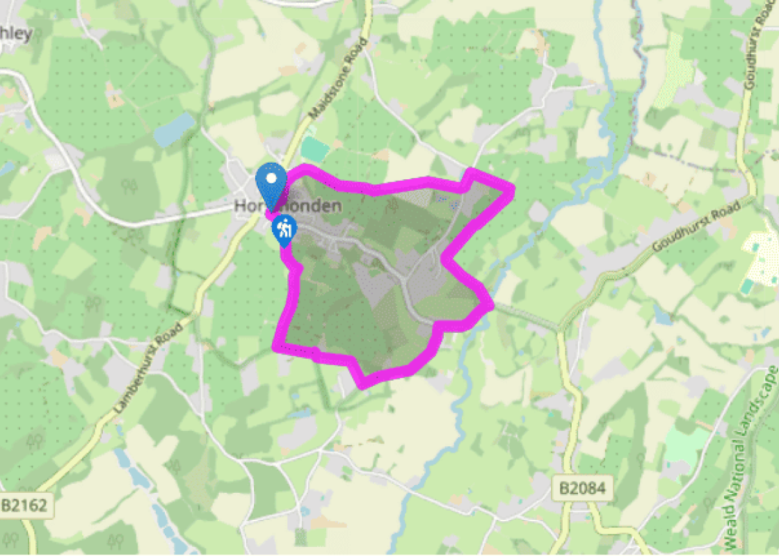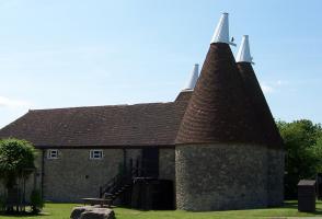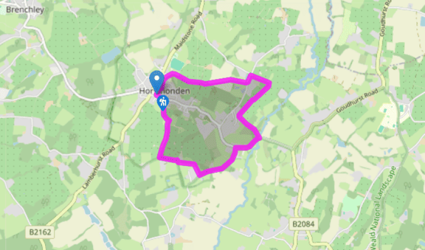
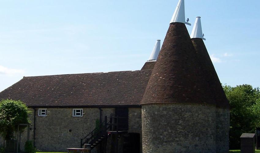
A circuit at Horsmonden
From The Gun and Spitroast pub, walk up the right-hand side of the village green. At the top, take an alley next to Clock View Cottage to Back Lane. Turn left here, cross Orchard Crescent, and walk ahead past the school to join a track which bears right to a kissing gate and a footpath.
Bear to the right along poplar windbreaks between orchards for about 0.75 miles (1.2km), crossing an intersecting path. Then bear half left across the next orchard, taking the waymarked path to a ditch (plank footbridge) and stile at the hedgeline.

Been on this walk?
Send us photos or a comment about this route. Or recommend a route of your own.

Walking in Safety
Read our tips to look after yourself and the environment when following this walk.

Get an AA guide
Explore our range of ‘50 Walks in’ guides - they’re the ideal companion for a ramble.
Been on this walk?
Send us photos or a comment about this route. Or recommend a route of your own.
Walking in Safety
Read our tips to look after yourself and the environment when following this walk.
Get an AA guide
Explore our range of ‘50 Walks in’ guides - they’re the ideal companion for a ramble.
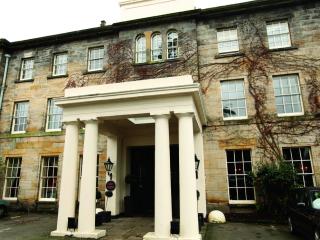
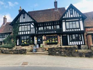
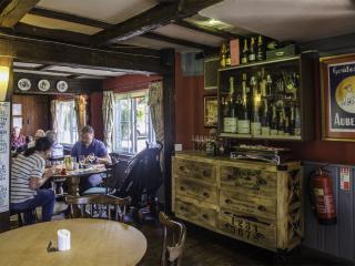
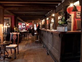
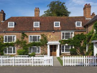
Nearby places to stay
View all (8)

- Launderette
- Ice pack facility
- Shop onsite
- Wifi available