
Ty Hotel, Milford Haven Waterfront
Launched in partnership with the Port of Milford Haven and Milford Waterfront, Ty Hotel is…

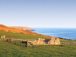
High cliffs and rough seas mark the location of Pembrokeshire's biggest environmental catastrophe.
St Ann's Head
6 miles (9.7kms)
Despite its beauty and excellence as a walking venue, St Ann’s Head is most famous for an event that reads as a sombre tale of incompetence. The precarious balance between the region’s oil refinery and the fragile ecosystems of some of Britain’s finest coastline was destroyed on 15 February 1996, when the Sea Empress oil tanker grounded on rocks just off St Ann’s Head. The collision wasn’t particularly bad and because it had taken place near low tide, the ship could have been quickly recovered had the right systems been in place. Tragically, the recovery became a comedy of errors. Numerous realistic salvage propositions were refused and, though the fated ship still had working engines, at one stage she was allegedly denied permission to continue into port under her own steam. By the Sunday evening she was still stranded, having lost only 2,000 tonnes of her cargo. High winds and strong tides continued to batter her against the rocks and finally, six days after she first grounded, she limped into the Haven having spilt at least 72,000 tonnes. The effects were catastrophic: huge oil slicks hit 175 miles (280km) of coastline, including the National Park, 35 Sites of Special Scientific Interest and a National Maritime Nature Reserve.
The immediate victims were the birds: 6,900 were recovered either dead or rescued, but it is estimated that over 20,000 died. The species worst hit was a small black duck known as the common scoter. The damage to fish stocks and other marine life will take years to gauge accurately. The tourist industry was temporarily devastated and the full effect on fishing and related trades won’t be known for decades.
The one course of action that won’t be undertaken to avoid the repeat of such a disaster is the building of a lighthouse off St Ann’s Head. That’s because there already is one. The original lighthouse here was built in 1714 while the current one first shed a light on the seas in 1841. This route takes you right past it and the row of cottages once used to house the lighthouse keepers and their families.
Walk back onto the sea front and turn right and then bear right along the road, to head away from the water and between houses. Continue to a T-junction where you turn right, and then as the road bends right again, bear left, through a gate on to a track. As the track bears left, keep ahead and follow the footpath up through a field to a gate that leads on to the coast path above the quiet surfing beach of Westdale Bay. Turn left and climb the steps up on to Great Castle Head, occupied by an Iron Age fort. For the next 2 miles (3.2km), continue along the coast path with the sea to your right and farmland to your left. Despite the spectacular scenery, there are no real drops or climbs and no real opportunities to get lost.
When you meet the road, turn right and walk along the drive, past the old lighthouse, now a private residence, to a gate. Here, the coast path veers left and then immediately right, to follow a series of marker posts along a fence towards the lighthouse and a bank of cottages on the right. At the cottages, bear left then turn sharp left to cross the green to a track that leads behind a walled enclosure. This then drops to join the coast again above Mill Bay, where a plaque gives details of the landing of the exiled Henry Tudor in 1485, on his way to the Battle of Bosworth. Descend to cross the head of the bay and climb up again to follow field edges around to the beacon on West Blockhouse Point. You’ll then come to a crossroads, where you keep straight ahead.
The path continues to follow the coast, passing the finest of the beaches along this stretch, Watwick Bay. Continue away from the beach and follow the path, both on cliff tops and field edges, and past a dew pond, to the beacon on Watwick Point. After running along the edge of another two fields, you start the descent to Castlebeach. Cross the footbridge and climb up steps towards the narrow peninsula of Dale Point. As the ground levels, you’ll meet a junction of paths where you keep straight ahead to the road. Turn left and follow it down, through woodland, to Dale and the car park.
Coast path, clear paths across farmland, many stiles
Dramatic coastline and entrance to Milford Haven
Care needed near livestock
OS Explorer OL36 South Pembrokeshire
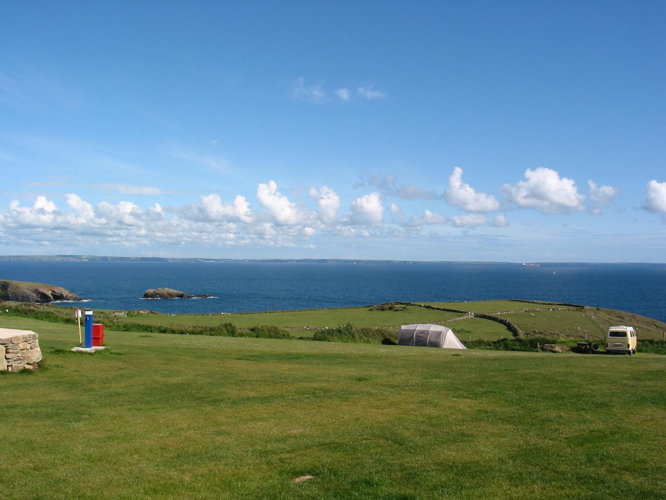
Large car park next to beach in Dale
At start
Read our tips to look after yourself and the environment when following this walk.
Wales meets the Atlantic Ocean in spectacular fashion at Pembrokeshire. Unlike the West Country, Pembrokeshire can offer the coast without the crowds, and quaint fishing villages without those huge coach parks. Volcanic eruptions and earth movements have left a tortured rocky coastline of some 160 miles, whose beauty and drama have been recognised by National Park status.
Sometimes known as ‘Little England Beyond Wales’, the county has held a fascination for English visitors ever since the first Norman warlords forced their way in 800 years ago, leaving a string of 50 fine castles in their wake. The anonymous author of The Mabinogion, an 11th-century collection of Welsh folk legends, started it all. His description of the old Celtic kingdom of Dyfed (which encompasses Cardiganshire, Carmarthenshire and Pembrokeshire) as ‘the land of magic and enchantment’ was perhaps the earliest written attempt to sum up the outstanding natural beauty of this wonderful westernmost outpost of Wales. This is a county where you can take it easy on the sandy beaches, make sport out of those Atlantic waves, or discover the mysteries of St David’s or the ancient Preseli Hills.
Discover more than 15,000 professionally rated places to stay, eat and visit from across the UK and Ireland.
Choose a place to stay safe in the knowledge that it has been expertly assessed by trained assessors.
Search by location or the type of place you're visiting to find your next ideal holiday experience.
Read our articles, city guides and recommended things to do for inspiration. We're here to help you explore the UK.