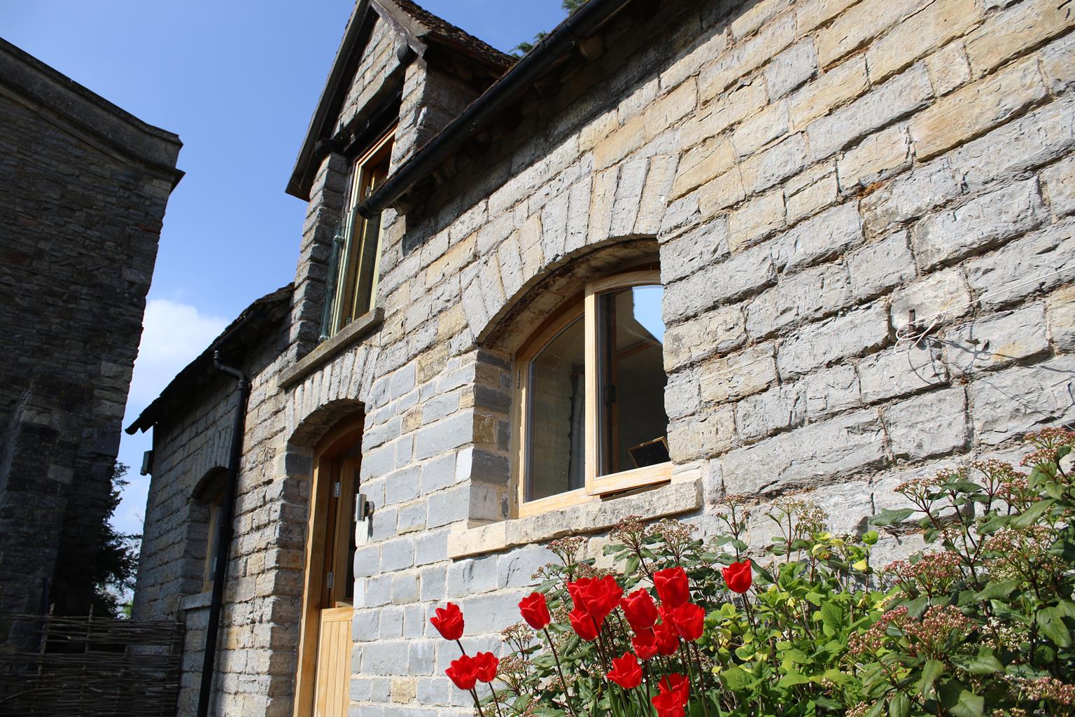


Tudor House
Packed full of character and history this recently renovated building has been a hotel since…

Tracing the military movements that culminated in the Battle of Tewkesbury.
Tewkesbury
4 miles (6.4kms)
The walk begins at Gander Lane, northeast of Tewkesbury Abbey. This spectacular Norman construction dominates the town, which is situated at the confluence of the rivers Severn and Avon. It was partly this geography which made Tewkesbury the site of one of the most important battles in English history.
The Vineyards, near the start of the walk, is where a Lancastrian army consisting of over 6,000 men stood on 4 May 1471, facing south. The conflict between the Houses of York and Lancaster had already been going on for 20 years. Edward IV was in exile and the Lancastrian Henry VI had been restored to the throne through the machinations of the Earl of Warwick. In April 1471 Edward returned to England, defeated Warwick and imprisoned Henry. Margaret of Anjou, Henry’s consort, headed for Wales to drum up further support, but at Tewkesbury her army was intercepted by Edward.
The walk takes in several more key sites from the battle. Beyond The Vineyards lies Gupshill Manor, now a pub. This is where Queen Margaret is said to have stayed the night before the battle. In the field by a house called Crosslands stood the wing of the Yorkist army led by Edward’s brother (later Richard III). It was in the vicinity of Lincoln Green Lane, that the first clash of the battle occurred.
Overpowered, the Lancastrians fled to the sanctuary of Tewkesbury Abbey. After two days they were given up, and were executed in the abbey grounds. Margaret’s army had suffered a bloody defeat, and the Yorkist cause remained safe until the Battle of Bosworth in 1485.
A tour of the town reveals many splendid reminders of its ancient past. Chief among these, at the heart of a maze of medieval streets lined with quaint black-and-white buildings, is the famous abbey. Founded in 1087 and consecrated in 1121, it was eventually bought from Henry VIII by the townsfolk for the sum of £453. Its stone came from Normandy, and had been shipped across the English Channel and then conveyed to Tewkesbury by river. Beside the abbey graveyard is a striking terrace of houses – Abbey Lawn Cottages – dating back to the late 15th century and built for the Benedictine monastery. The buildings were originally constructed as shops, with their shutters lowered to act as counters.
Walk away from Tewkesbury Abbey and the town centre. Cross the River Swilgate and continue to a pair of iron gates. Stay on the tarmac path as it traverses the area known as The Vineyards, where the monks of the abbey once cultivated grapes. It’s now an open grassy area, home to several sports clubs. Notice a commemorative plinth on your right and keep to the left of the cemetery. Soon reach a road, cross into Conigree Lane, then turn immediately right, taking the path that runs to the left of houses. This will bring you to Gloucester Road, at a point where a wing of the Yorkist army stood.
Turn left along the pavement. Walk 100yds (91m) beyond a bus stop, then turn left along a path, towards houses. At the end swing right to follow another path, turning left at a corner. This brings you to a gate on your right into Margaret’s Camp. The field, named after Margaret of Anjou, is believed to be where the Lancastrian army bivouacked before the battle. Keep ahead and cross the field to a gate on the far side. Turn right along a cycle path, return to Gloucester Road and turn right again, passing Gupshill Manor across the road. Continue along the road to the second bus stop, cross to the gate beside it and enter a field.
Walk across the pasture to the other side. Ignore the ‘Battle Trail’ sign to your right and go 50yds (46m) to cross a stile leading over a small brook. This is thought to be the point where King Edward stood. Continue ahead beside a fenced-off barn conversion and a house, Crosslands, to reach a lane. Turn right now on Lincoln Green Lane and right again at the next T-junction. After about 50yds (46m) turn left through a kissing gate into Bloody Meadow, where the remnants of the Lancastrian right wing were slain.
Follow the grassy path with trees and vegetation on the right and then onto a road. Turn right, pass a depot and meet Gloucester Road yet again. Opposite are The Vineyards. Turn left and follow the pavement to The Bell Hotel at the corner of Mill Street. Turn left here, down to the Abbey Mill. At this point cross over to The Ham. Turn right to follow the bank of the Mill Avon.
Just before a flour mill turn right over a footbridge. Turn left (Back of Avon) at traffic lights and a bridge and keep ahead into Red Lane, curving right to the High Street. Turn right, noting Tewkesbury’s historic timber-framed buildings, then half right at the main junction along Church Street and left into Gander Lane to return to the start.
Fields, pavement and lanes
River, distant hills and town
Lead required along main roads
OS Explorer 190 Malvern Hills & Bredon Hill
Several car parks, most convenient on Howells Road
Gloucester Road car park near Abbey or Spring Gardens car park off Oldbury Road
Read our tips to look after yourself and the environment when following this walk.
Gloucestershire is home to a variety of landscapes. The Cotswolds, a region of gentle hills, valleys and gem-like villages, roll through the county. To their west is the Severn Plain, watered by Britain’s longest river, and characterised by orchards and farms marked out by hedgerows that blaze with mayflower in the spring, and beyond the Severn are the Forest of Dean and the Wye Valley.
Throughout the county you are never far away from the past. Neolithic burial chambers are widespread, and so too are the remains of Roman villas, many of which retain the fine mosaic work produced by Cirencester workshops. There are several examples of Saxon building, while in the Stroud valleys abandoned mills and canals are the mark left by the Industrial Revolution. Gloucestershire has always been known for its abbeys, but most of them have disappeared or lie in ruins. However, few counties can equal the churches that remain here. These are many and diverse, from the ‘wool’ churches in Chipping Campden and Northleach, to the cathedral at Gloucester, the abbey church at Tewkesbury or remote St Mary’s, standing alone near Dymock.
Discover more than 15,000 professionally rated places to stay, eat and visit from across the UK and Ireland.
Choose a place to stay safe in the knowledge that it has been expertly assessed by trained assessors.
Search by location or the type of place you're visiting to find your next ideal holiday experience.
Read our articles, city guides and recommended things to do for inspiration. We're here to help you explore the UK.