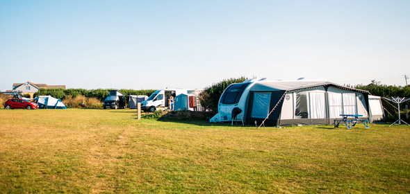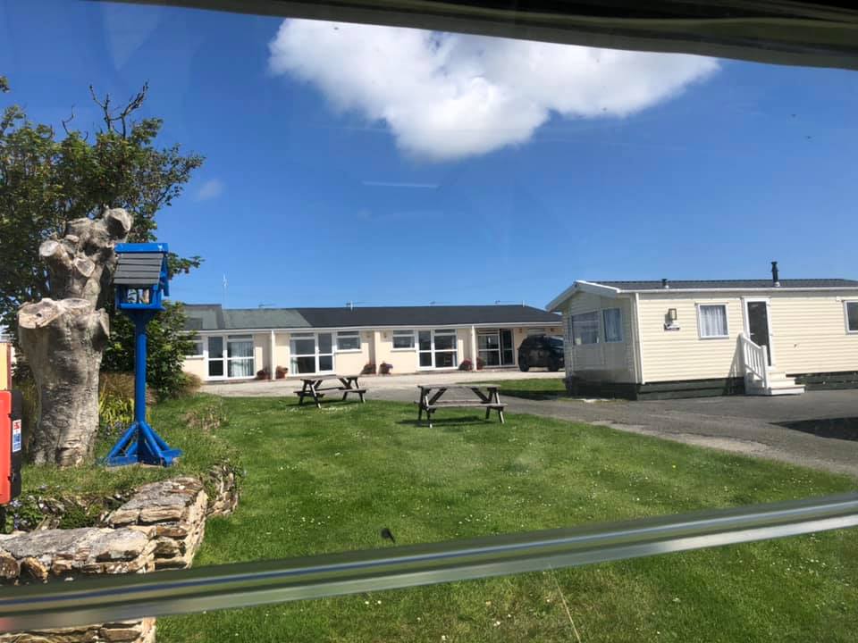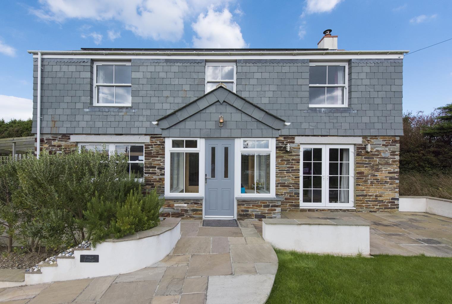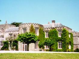
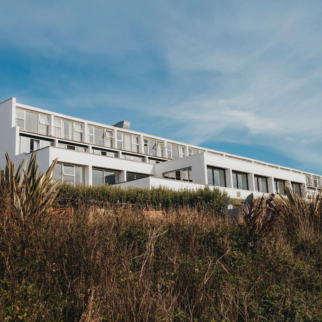
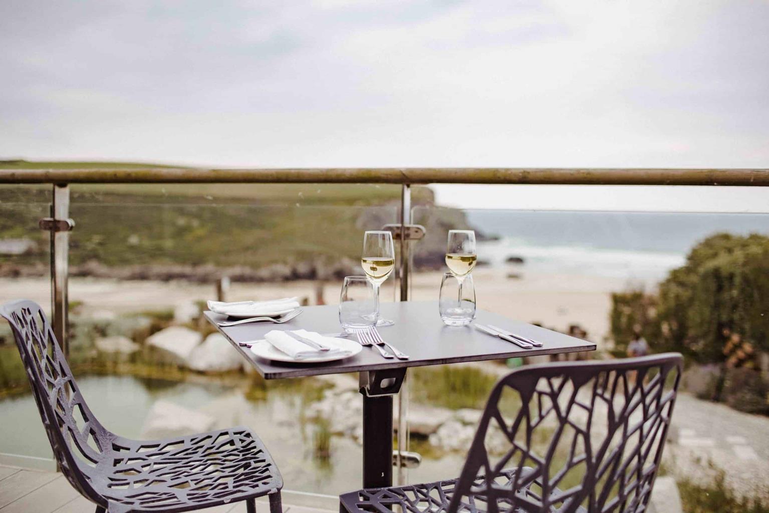
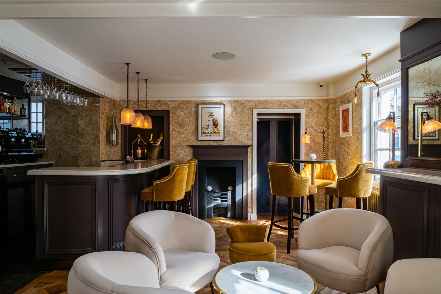
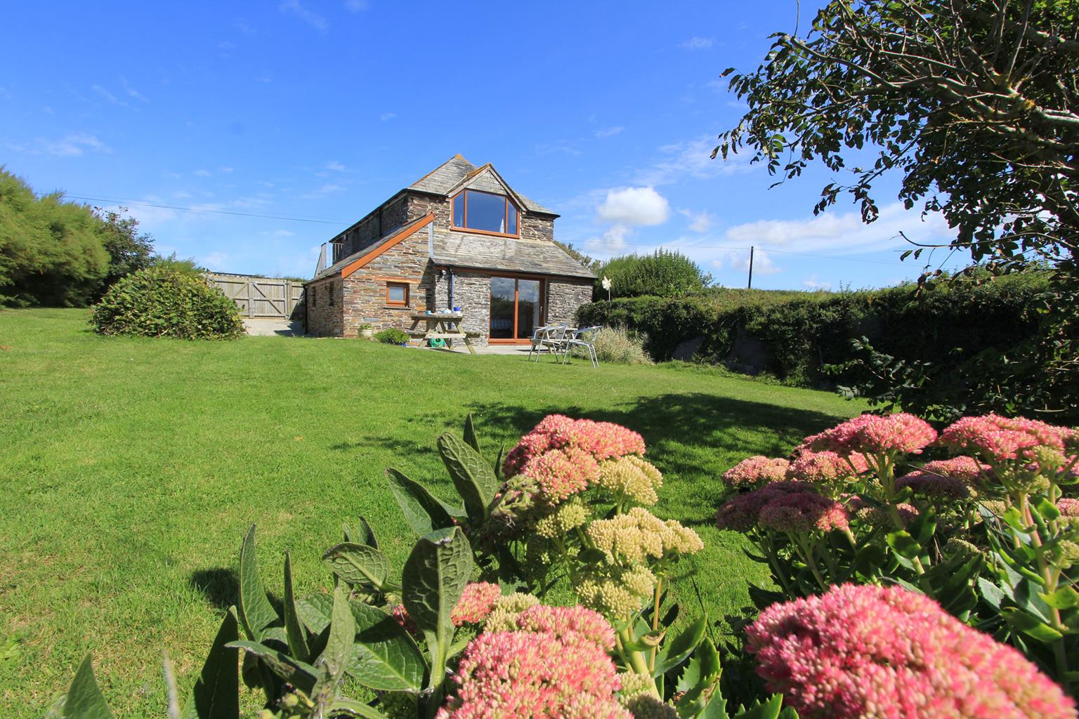
The Seaside House
A perfect place to get away from it all, the Seaside House is surrounded by beautiful Cornish…
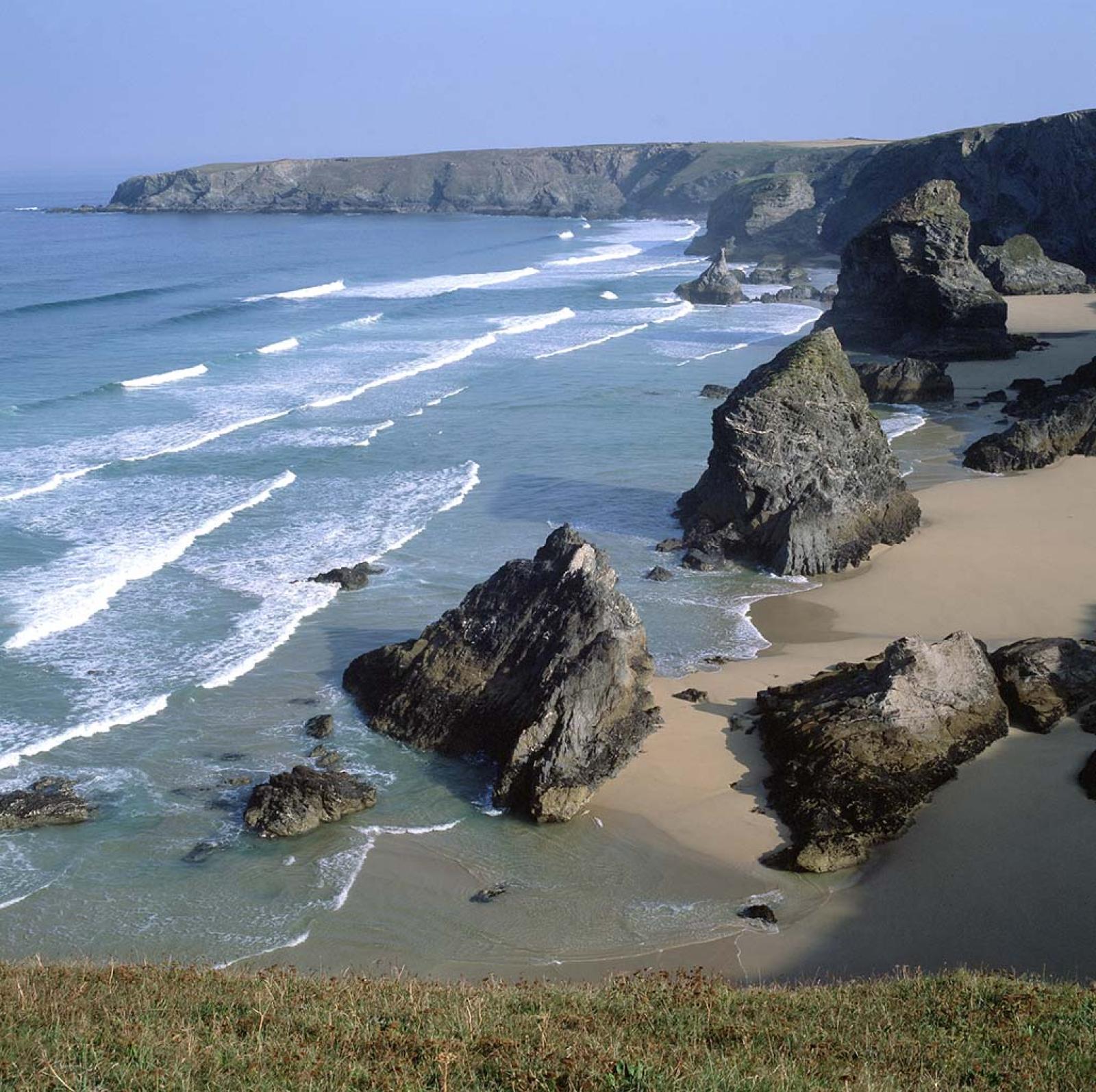
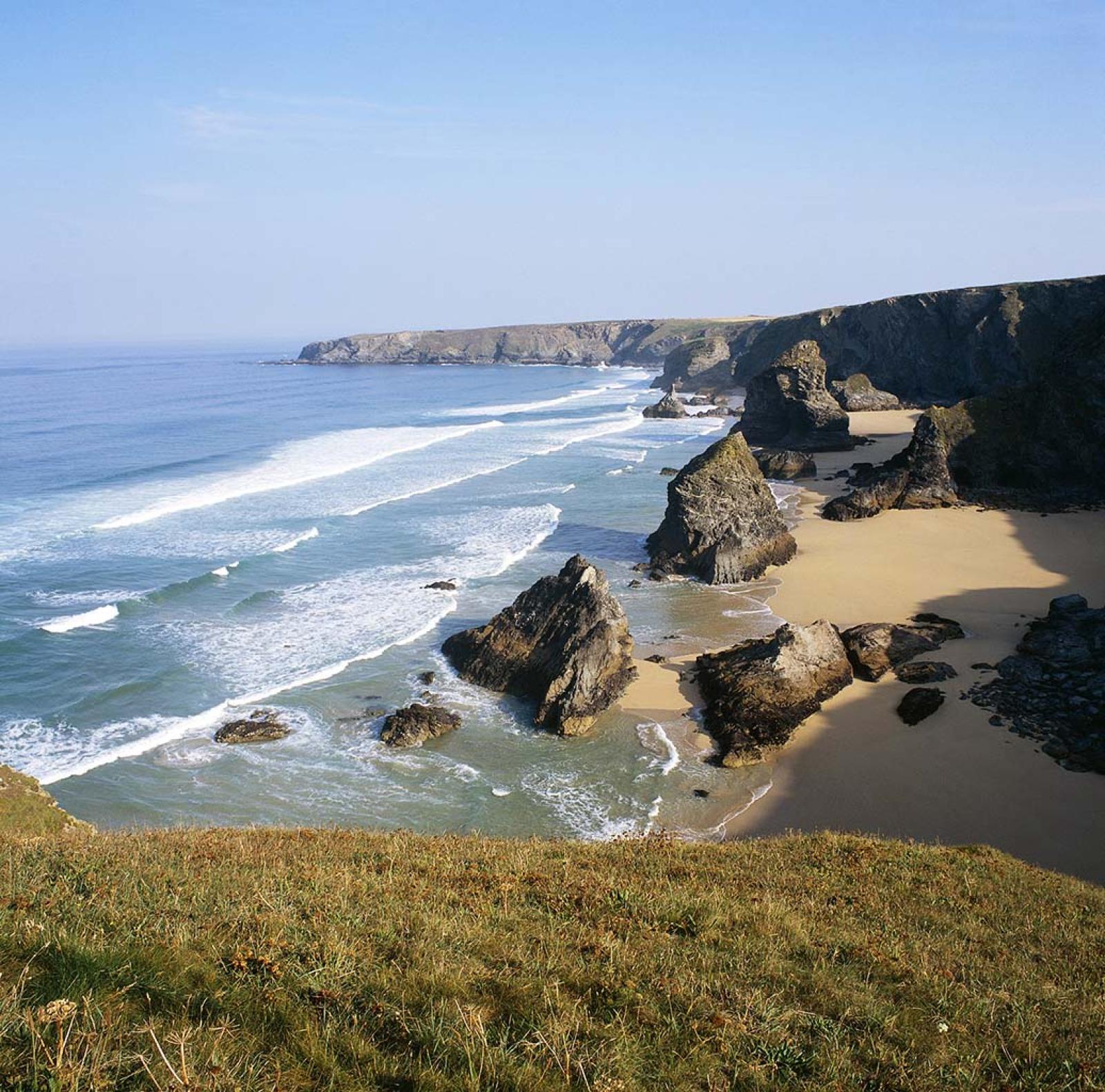
Exploring the spectacular coastal landscape at Park Head and Bedruthan Steps.
Park Head
2.5 miles (4kms)
The flat, unremarkable countryside that lies inland from Bedruthan Steps belies the stupendous nature of the area’s coastline. Green fields run almost to the sliced-off edges of 300ft (91m) cliffs. At the foot of the cliffs lie dramatic rock islands, which at high tide are battered by crashing waves, and at low tide stand in dramatic isolation, rooted in a smooth expanse of sea-stained sand. The islands, or stacks, are portrayed as being the stepping stones of a legendary giant called Bedruthan, but this conceit only blew in with Victorian tourists. The stacks acquired picturesque names such as ‘The Queen Bess Rock’, which – before losing its head to erosion – was said to resemble the figure of Elizabeth I.
This walk takes you to the quieter northern end of the Bedruthan area, at Park Head – an area less crowded than that around Carnewas to the south. The walk is on National Trust land and first takes you easily along the southern rim of the Porth Mear valley to the start of Park Head’s corrugated coastline. At the coast you can divert from the main route down to the peaceful Porth Mear Cove, where there are rock pools enough to keep a whole family entertained for half the morning.
The cliffs at Park Head have the same dramatic convolutions as those at Bedruthan. There are no offshore pinnacles here, but landslips, rock arches and twisted bands of rock make these cliffs just as fantastic. As always, you must be very careful if peering over cliff edges.
Inland from the cliffs are fields enclosed by handsome slate walls or ‘hedges’, furred with lichen and dotted with cushions of pink thrift. The distinctive herringbone pattern of these walls seems to replicate the geology and texture of the cliffs themselves, a reflection of how much traditional human skills and natural materials can harmonise with landscape.
You are walking always in the footsteps of ancient peoples here. Read the landscape around you as you head south towards Park Head itself and you’ll spot several grassy mounds. These are Bronze Age burial sites or ‘barrows’, and they suggest that the Park Head area was an important landscape, even in prehistoric times. At Park Head itself, you pass through the protective embankments of an Iron Age settlement that once occupied the crown of the headland.
Leave the car park at its seaward end and follow a lane towards Pentire Farm. Just before a house go through a gate on the right, signposted ‘Porthmear Beach and Park Head’.
At the corner of the house's garden wall, bear down left and cross a wooden stile by a gateway. Bear diagonally right down the next field and go through a gate in its bottom corner.
Keep left and cross a wooden boardwalk. Continue along the edge of a shallow, reed-filled valley.
Join the coast path at the attractive Porth Mear cove. Descend to the cove if you wish. Go through a kissing gate and walk steadily uphill along the coast path. Follow this to the promontory of Park Head. (Take great care near the cliff edges.)
At Park Head, you can walk out to the top of the promontory. On the main route, follow the grassy coastal path south, passing through a wide gap in a herringbone patterned slate wall. Follow the path parallel to the cliff edge. Reach the corner of a field wall, and keep ahead, parallel to the wall, to reach a kissing gate.
Turn left through the kissing gate and follow a permissive footpath along field-edges. Just before the farm, turn right through a gate and follow a fenced-in path to return to the car park.
Exposed cliff paths and field paths
Spectacular cliffs and dramatic sea stacks
Lead required through grazed areas
OS Explorer 106 Newquay and Padstow
Park Head car park (National Trust)
None on route; nearest at Carnewas car park, to south on B3276
<p>Unguarded cliff paths and field paths – extra care needed with children and dogs, especially in windy weather</p>
Read our tips to look after yourself and the environment when following this walk.
Cornwall has just about everything – wild moorland landscapes, glorious river valley scenery, picturesque villages and miles of breathtaking coastline. With more than 80 surfing spots, there are plenty of sporting enthusiasts who also make their way here to enjoy wave-surfing, kite surfing and blokarting.
In recent years, new or restored visitor attractions have attracted even more visitors to the region; the Eden Project is famous for its giant geodesic domes housing exotic plants from different parts of the globe, while nearby the Lost Gardens of Heligan has impressive kitchen gardens and a wildlife hide.
Discover more than 15,000 professionally rated places to stay, eat and visit from across the UK and Ireland.
Choose a place to stay safe in the knowledge that it has been expertly assessed by trained assessors.
Search by location or the type of place you're visiting to find your next ideal holiday experience.
Read our articles, city guides and recommended things to do for inspiration. We're here to help you explore the UK.