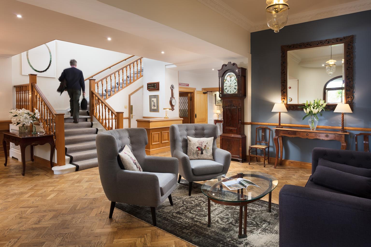
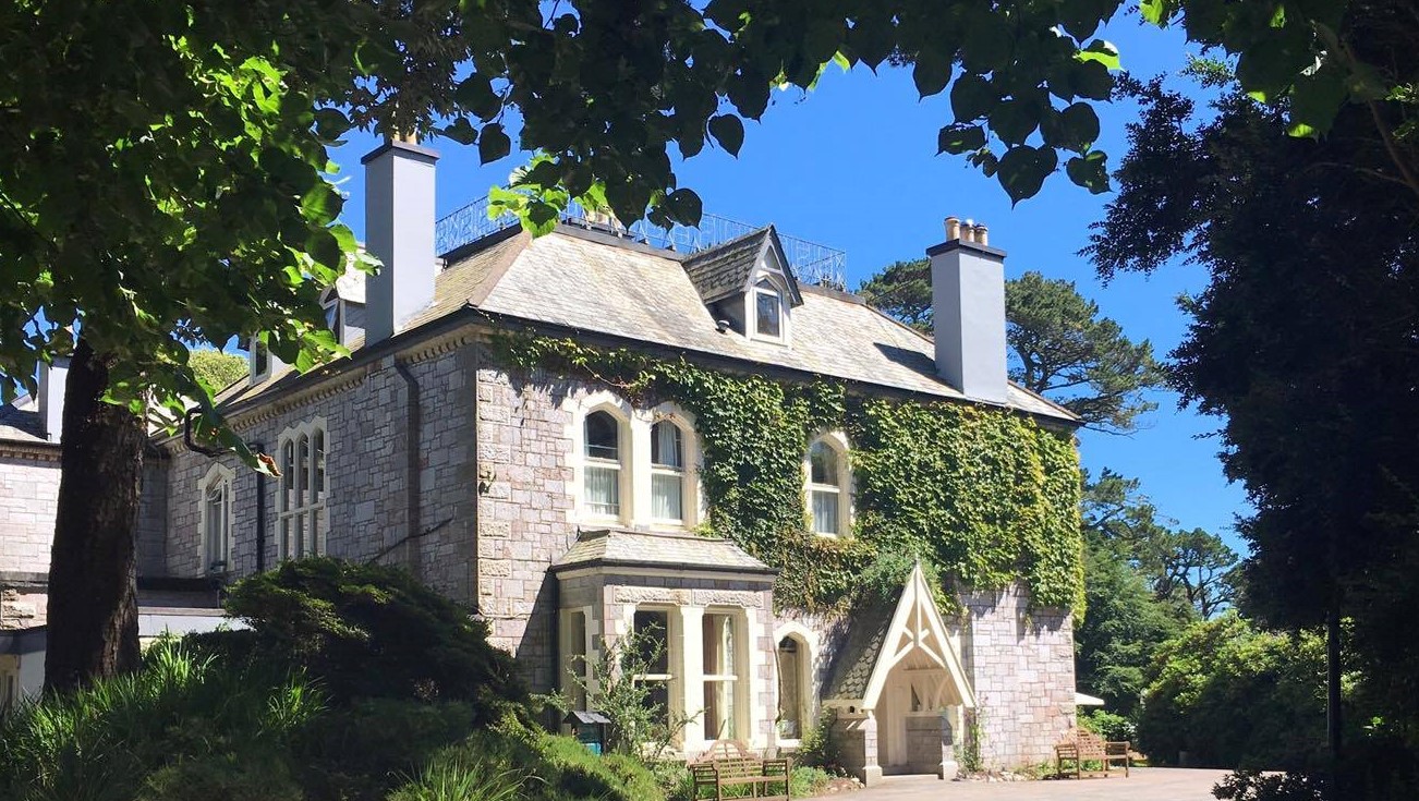
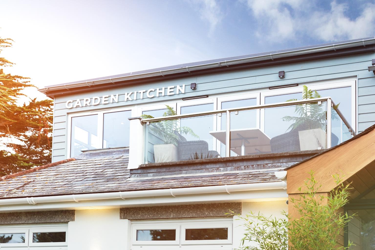

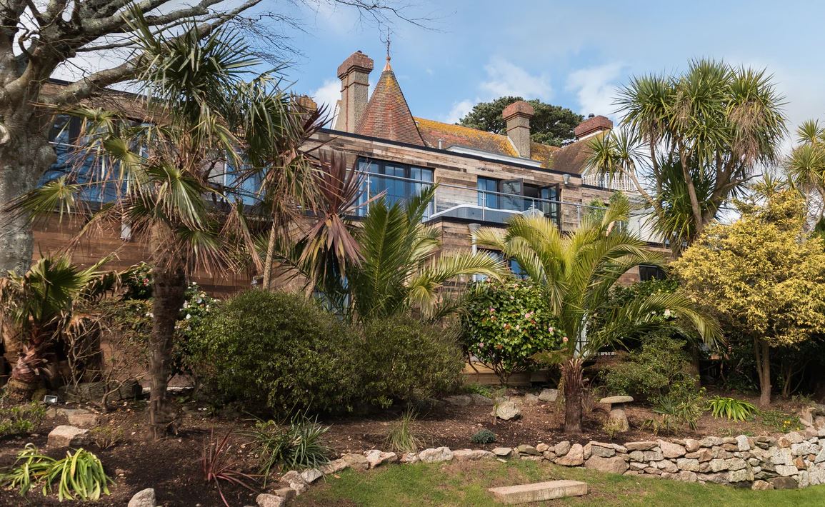

Gallen-Treath Guest House
Gallen-Treath Guest House has super views over the countryside and sea from its elevated…

Get away from it all along the coast path and through peaceful fields at Porthallow.
Porthallow
2 miles (3.2kms)
The coastline that runs south from the estuary of the Helford River to Porthallow is uncrowded and serene, although the sea can soon whip up a storm along its rocky shoreline, when it’s in the mood. At Porthallow, and further south again at Porthoustock, there is a striking contrast with the picturesque Helford, however. Here the Cornish coast has been sacrificed to full-scale quarrying that has left a wrenched landscape in its wake. While Porthoustock Quarry is still raw and desolate from ongoing activity, at Porthallow the quarry has been out of use for some time and is now muffled by a green cloak of vegetation and softened by the presence of the sea.
Porthallow, or ‘Pralla’ as it is known locally, was a busy pilchard fishing village during the 19th century and into the first decade of the 20th century, until the shoals dwindled. In those days there would have been a number of pilchard boats stationed here, ready to launch when shoals were spotted. The boats fed out – or ‘shot’ – large seine nets round the shoals, and then steadily drew in the ends of the net to ‘bag’ the fish. There are still a few old pilchard cellars behind the beach at Porthallow where the fish were pressed for oil. The fish were then packed tightly into barrels between layers of salt for export to Catholic Italy, mainly to satisfy the high demands for fish during Lent.
Today at Porthallow there is a wide stony beach, which was created from quarry waste. Some fishing boats still work from here, and Porthallow is a favourite launching site for the leisure boats that take divers out to the area of the notorious Manacles reef, a mile or so to the south – the graveyard of numerous vessels over the centuries.
The walk takes you north from Pralla through a bracing coastal landscape and then wanders inland across fields and along old farm tracks to the tiny settlement at Roskorwell. Here, diligent care of verges and a central grassy area has created a splendid little village green that is entirely rural and detached from the emphatic sea-girt spirit of Pralla far below.
From just inside the car park entrance turn right, signed ‘Coast Path’. Climb steep steps (handrail) past a house and continue along a path between hedges. Where the path levels off, bear round right to pass a wooden kissing gate. Go through a wooden kissing gate and follow the coast path for 0.5 miles (800m).
Cross a stile into a field by a National Trust sign for Nare Point. Keep straight ahead along the left-hand field edge.
At the field corner (may be very muddy) go over a high stone stile and turn immediately left through a field gap. Go up a track towards an isolated house. Go through a gateway and keep to the left of the house's garden wall. Turn left into a field through two gates. Follow the right edge of the field uphill (this section is a legally diverted right of way).
Turn right at the top corner of the field and along a grassy track, bearing round left through a kissing gate, and into a field. Head diagonally left up the middle of the field to its top edge and then turn right along the field edge to a white gate in the field corner. Go through the gate and follow a hedged-in track.
Keep round right by a field gate, and go along a farm track, passing a cottage on your right. Continue to meet the road at Roskorwells. Keep straight across and go down the narrow lane opposite.
Where the lane bends to the right, go left and over a stile, signed 'Public Footpath', and walk straight down the field past telegraph poles. Go through a wooden kissing gate to a junction with the coast path. Turn right to return to the car park at Porthallow.
Generally good, but can be muddy and wet after rain; several stiles
Low rocky coastline backed by gently sloping fields
Dogs should be kept under strict control through field sections
OS Explorer 103 The Lizard
Porthallow Beach
Porthallow
Read our tips to look after yourself and the environment when following this walk.
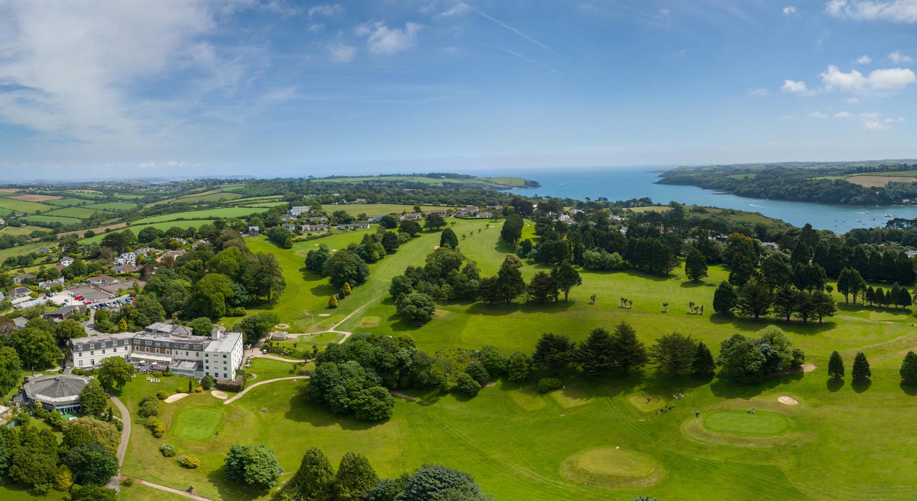
Cornwall has just about everything – wild moorland landscapes, glorious river valley scenery, picturesque villages and miles of breathtaking coastline. With more than 80 surfing spots, there are plenty of sporting enthusiasts who also make their way here to enjoy wave-surfing, kite surfing and blokarting.
In recent years, new or restored visitor attractions have attracted even more visitors to the region; the Eden Project is famous for its giant geodesic domes housing exotic plants from different parts of the globe, while nearby the Lost Gardens of Heligan has impressive kitchen gardens and a wildlife hide.
Discover more than 15,000 professionally rated places to stay, eat and visit from across the UK and Ireland.
Choose a place to stay safe in the knowledge that it has been expertly assessed by trained assessors.
Search by location or the type of place you're visiting to find your next ideal holiday experience.
Read our articles, city guides and recommended things to do for inspiration. We're here to help you explore the UK.