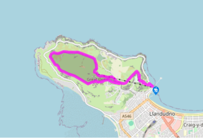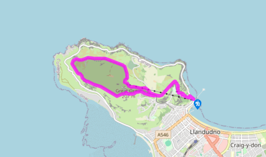
A Llandudno circuit
Recommended by

"Around the Great Orme and a town that inspired Lewis Carroll"
Walk directions
From the pier, walk along Happy Valley Road for about 100yds (91m) then turn left up steps to enter the Happy Valley Gardens. From the far side of the lawn, beyond the stone circle (dating all the way back to 1962!), follow frequent ‘Summit Trail’ waymarkers along a zigzag, surfaced path climbing through the park.
At the top of the gardens go through a gate and follow the path above a little limestone valley that has been filled by a dry-ski slope and toboggan run. The buildings include a pleasant Swiss-style café. Having lost its tarmac, the path continues uphill beneath outcropping limestone onto high grassy slopes.
View all directions
Additional information
Terrain
- Well-defined paths and tracks, fairly easy after steep initial climb
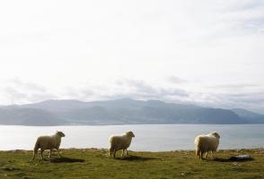
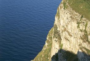
Landscape
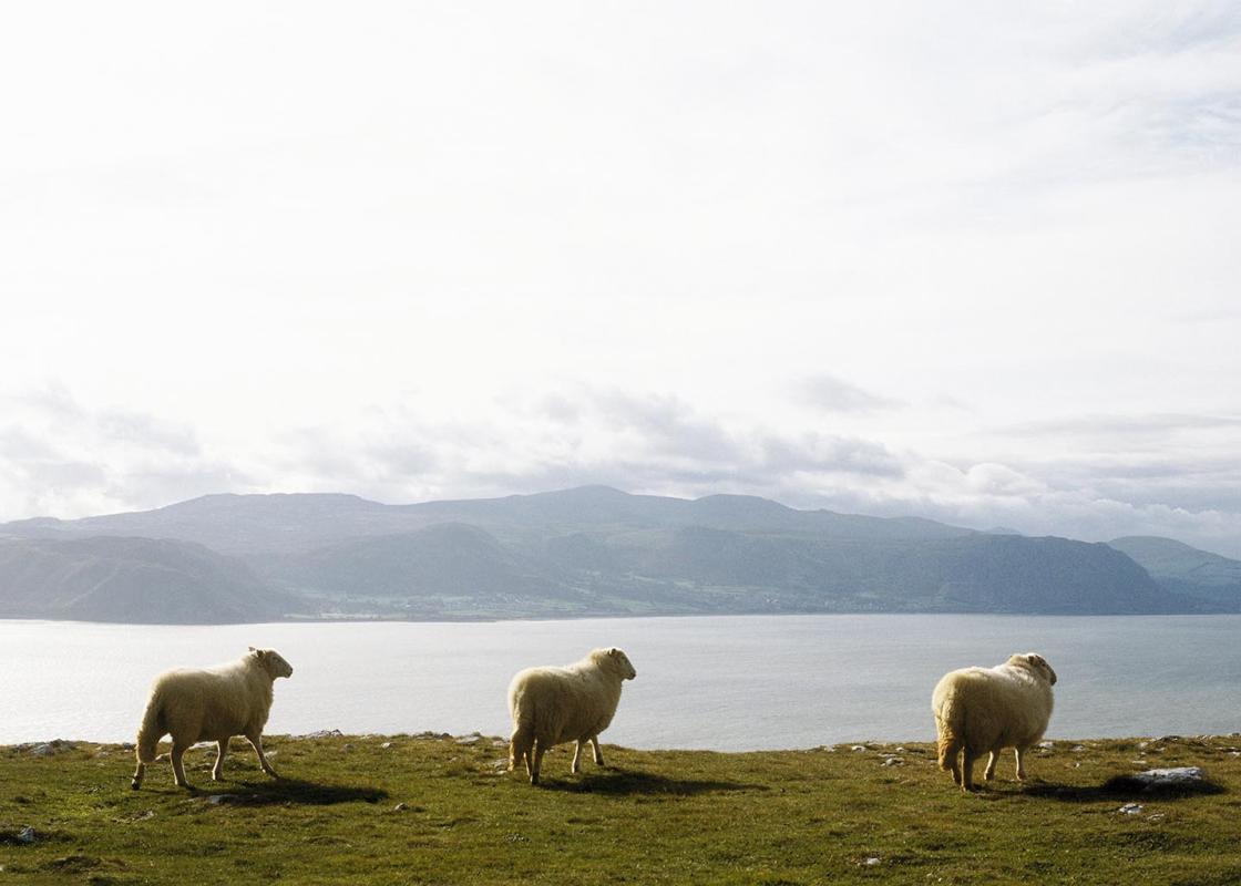
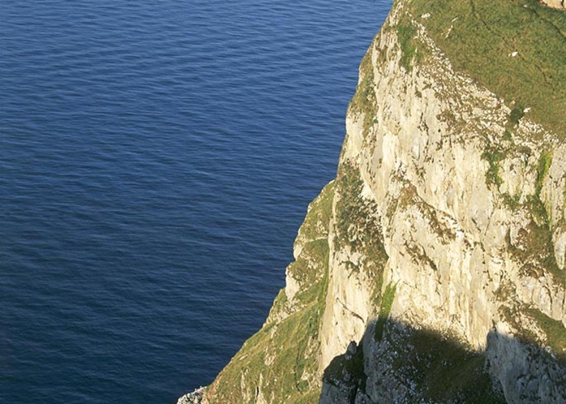
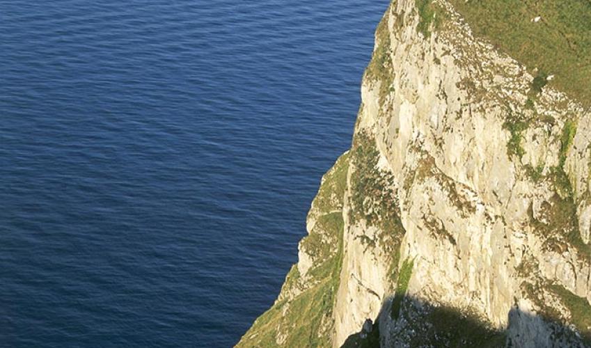
- Grassland and limestone cliffs and bluffs
Dog friendliness
- Keep on a lead – grazing animals and cliff edges
Parking
- Town car parks or take road to summit car park (pay)
Toilets en route
- At Market Street car park and at summit visitor centre
About the walk
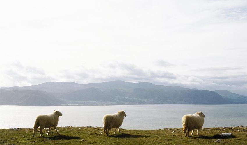
In summer, the Great Orme is teeming with visitors who arrive by car, by Victorian tramcars, and by cable car. But there’s another side to the Great Orme. It has been designated a Site of Special Scientific Interest (SSSI), for this is a limestone promontory with diverse vegetation, ranging from...
Read more

Been on this walk?
Send us photos or a comment about this route. Or recommend a route of your own.

Walking in Safety
Read our tips to look after yourself and the environment when following this walk.

Get an AA guide
Explore our range of ‘50 Walks in’ guides - they’re the ideal companion for a ramble.
Been on this walk?
Send us photos or a comment about this route. Or recommend a route of your own.
Walking in Safety
Read our tips to look after yourself and the environment when following this walk.
Get an AA guide
Explore our range of ‘50 Walks in’ guides - they’re the ideal companion for a ramble.
About the area
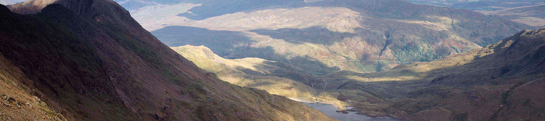
The majority of the population of Conwy lives along its picturesque coastline, while a third of the county falls within jaw-dropping landscape of the Snowdonia National Park. The town of Conwy, which takes its name from the county (which in turn was named after the river that runs through it), is undoubtedly one of the great treasures of Wales.
Nearby places to stay
View all (8)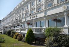


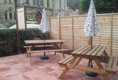
Self-Catering
Morwenna Holiday Apartments
- Total units: 4
- Private garden
- Garden furniture
- Dish washer


Nearby places to stay
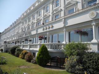
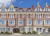
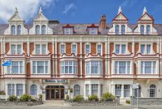
St George's Hotel
St George's is a large and impressive seafront property, and the first hotel to be built in the town. Restored to its former glory, the accommodation is of very high quality and include...
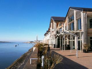
Morwenna Holiday Apartments
Located near Llandudno Pier and leisure parks, Morwenna Luxury Holiday Apartments feature free WiFi and there's a bar and a garden for guests to enjoy. The location is central to all Ll...
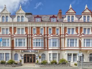
Dunoon Hotel
This impressive, privately-owned hotel is centrally located and offers a variety of well-equipped bedrooms. Elegant public areas include choice of bars, lounge with open fire and a tast...

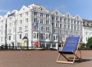
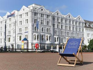
Imperial Hotel
Occupying a prominent position along Llandudno’s historic seafront promenade, the Imperial Hotel is a traditional coastal property offering classic hospitality in one of North Wales’ be...

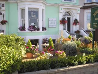
Bryn Derwen
Located in a quiet area of Llandudno, Bryn Derwen is just a short walk from the main shopping area and local restaurants. A friendly welcome is assured at this impressive Victorian hous...
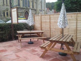
Britannia Guest House
Britannia Guest House offers a warm welcome and friendly service. The bedrooms are very comfortable and well equipped, and many have fantastic views of Llandudno's bay. Ground-floor roo...

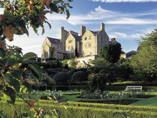
Bodysgallen Hall and Spa
Bodysgallen Hall is a 17th-century house situated in its own parkland and formal gardens, occupying an elevated position, with views towards Snowdonia and across to Conwy Castle. The lo...
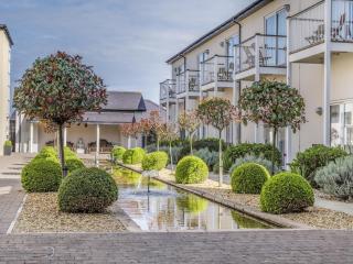
Quay Hotel & Spa
This luxury hotel occupies a stunning position beside the estuary on Deganwy Quay overlooking Conwy Castle and Snowdonia. Sleek, contemporary design runs through all aspects here. Spaci...
Places to eat nearby View all