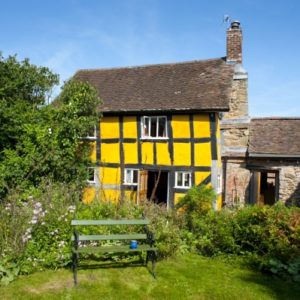
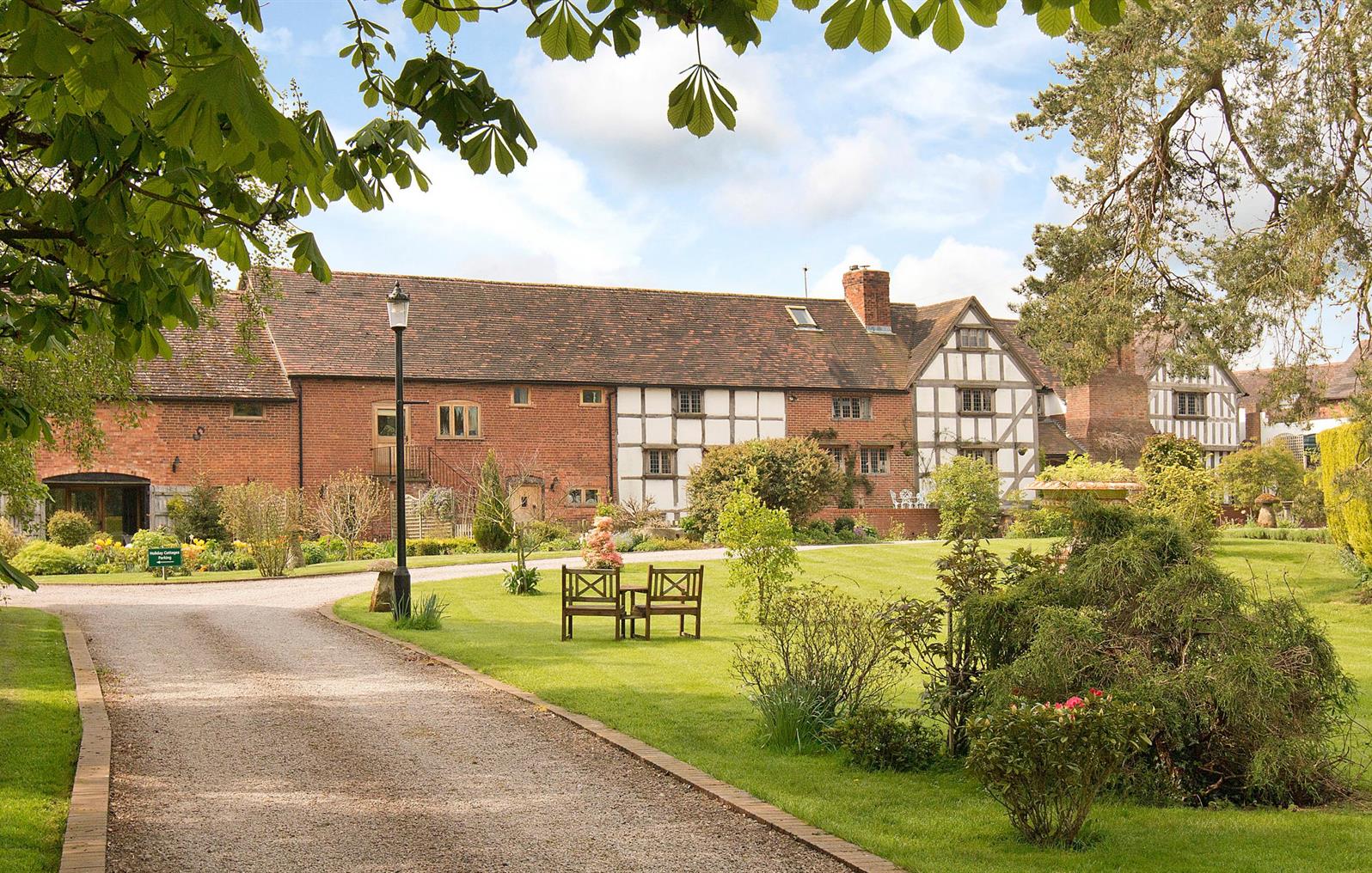
Church House Farm Holiday Cottages
Church House Farm Holiday Cottages are two newly converted luxurious cottages located in…

Mamble
4.25 miles (6.8kms)
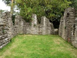
Crude forms of coal mining were probably first carried out on the land around the small village of Mamble in prehistoric times. Much later, the Blount family lived at Sodington Hall, and the Mamble coal pits were part of their estate.
It may have been the case that mining was a part-time activity for what were primarily farmworkers. The inference drawn from the absence of much housing in the Marl Brook area is that mining was never more than a smallscale activity. Mamble’s coal was not of premium quality, but it was adequate for domestic use and non-critical industrial processes such as lime burning. Coal mining continued in the locality until 1972. The last pit to close was the Mole Colliery at Hunthouse, about 1 mile (1.6km) southeast of Mamble. The more modern, deep-mining techniques are the ones that cause least disruption at the surface. It is believed that, having won the coal from a pit, the ancient miners put it into wagons, to be hauled by horse along a rudimentary tramway to the (partially constructed) canal.
The rationale for the Leominster Canal, sanctioned by a 1791 Act of Parliament, was simple enough – provide a terminus for the distribution of coal emerging from the pits around Mamble, and reduce the price of conveying other goods between Leominster (pronounced ‘Lemsta’) and the River Severn. An advertisement displayed in 1797 proclaimed a cost saving, priced per ton, on this route of 25 per cent, and a ‘more speedy conveyance’. Indeed, in 1796 the price of coal at Leominster was halved.
Coal was loaded onto barges at Wharf House. For various reasons, the canal company failed to build nearly all of the remaining eastward section and the unfinished Southnett Tunnel later collapsed. Its position is near Broombank Farm, roughly below Ash Coppice. All manner of constructional defects in this, and in the Rea Aqueduct, were reported by a consulting engineer. The Rea Aqueduct was built mostly of brick and was the largest single-span brick acqueduct in the country at that time. It is still standing, but in a crumbling and precarious state. Marked merely as ‘FB’ on the OS map, it’s at Grid Reference: SO 651703 (you need to be committed to find it); the footpath across the aqueduct from the east is closed for safety reasons. Not having the Southnett Tunnel cut off access to essential water from Dumbleton Brook (beyond the tunnel’s eastern portal), so a reservoir, the Stocking Pool, was built. The canal was eventually bought by the railway in the late 1850s and wound down.
Go to the Tenbury Wells end of the lay-by. Take the gate nearest the road to walk down the left-hand field-edge. At the woodland turn right, shortly entering it by a stile. Go forward at a two-plank bridge. In 200yds (183m) cross pastures to join a cinder track by a white house.
Turn left for 75yds (69m). At a gate move right on a rising woodland track. At a corner stay in woodland, along a broad green path heading right, ignoring paths to the left. Fork right shortly before a gate. At this, ascend gently by taking the right fork (waymarker), aiming 50yds (46m) left of a skyline oak in a field. At the top turn right, staying within the field and following the hedge to a gateway beside a small, tree-screened dry pond.
Keep this line for 250yds (229m) to a stile on the left shortly before a corner; look for a bowl-shaped field and copse to your left. Climb this but don’t follow the waymarker forward and down; instead go through a gate to your right, and continue with this field-edge on your right. In the next field go directly under a large pylon to another stile. Walk initially with the wire fence and an apple orchard on your left, but, within 30yds (27m) of the hedgerow beginning, go through a stile, putting this hedgerow on your right. Reach a seven-bar metal gate, one short field before a cherry orchard.
Do not go through; instead turn three-quarters around, to go diagonally down this field, in search of a stile (concealed by a bracken edge) nearly 100yds (91m) left of an old metal gate. Enter an apple orchard, skirting its right-hand perimeter on asphalt and grass for approximately 500yds (457m) and with woodland to your right. Just a few paces around the orchard’s bottom corner leave by a stile. Move right a few paces to a wooden post; here fork left (not uphill). In 50yds (46m) go over a stile and see a footbridge down to your left. Across this turn left (waymarker), along a little-used path, to a minor road.
Turn left. Keep ahead at a junction, then ascend quite sharply, and drop down past the ‘Frith Common’ sign. Keep ahead at the next crossroads too. Now ascend again and beside the entrance to Rose Cottage and The Observatory, take a narrow path on the left. Soon in a field, follow the left-hand edge to a stile. Strike half right (waymarked), descending two pastures easily to walk beside woodland on your left. A gate leads you down to the Stocking Pool.
Cross the dam to a gate. Turn left and climb for 350yds (320m), skirting woodland on your left. Move right 40yds (37m) to a gate (not another further right). Through this turn immediately left. In 70yds (64m), cross an avenue diagonally. Cross a field, bypassing woods on the left, to a gate. Through this turn right to return to the car park.
Minor roads (one steep hill), field and woodland paths, many stiles
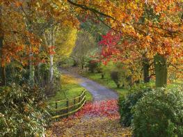
Undulating pastoral landscape
Lead necessary (livestock likely)
OS Explorer 203 Ludlow
Lay-by (bend in old road) west of Mamble on A456
None on route
Read our tips to look after yourself and the environment when following this walk.
Worcestershire is a county of rolling hills, save for the flat Vale of Evesham in the east and the prominent spine of the Malverns in the west. Nearly all of the land is worked in some way; arable farming predominates – oilseed rape, cereals and potatoes – but there are concentrated areas of specific land uses, such as market gardening and plum growing.
Worcester is the county town, and home to Worcestershire County Cricket Club, which has what some regard as the most attractive grounds in the country, in a delightful setting with views of Worcester Cathedral. The Malverns, Great and Little, set on the slopes of the Malvern Hills, are renowned for their refinement. Great Malvern, terraced on its hillside site, came to prominence as a genteel spa for well-to-do Victorians, rivalling the likes of Bath, Buxton and Cheltenham with its glorious surroundings.
Sir Edward Elgar was a Worcester man, and his statue stands on the High Street, facing the cathedral. The cottage where he was born is now a museum and he is commemorated on the £20 note. Other notable Worcestershire figures include poet A E Housman, chocolate magnate George Cadbury; and Lea and Perrins, inventors of Worcestershire sauce.
Discover more than 15,000 professionally rated places to stay, eat and visit from across the UK and Ireland.
Choose a place to stay safe in the knowledge that it has been expertly assessed by trained assessors.
Search by location or the type of place you're visiting to find your next ideal holiday experience.
Read our articles, city guides and recommended things to do for inspiration. We're here to help you explore the UK.