


Burnside View
A walk through Grisedale

NEAREST LOCATION
Grisedale
RECOMMENDED BY
DISTANCE
5 miles (8kms)
ASCENT
868ft (265m)
TIME
2hrs 15min
About the walk
Grisedale is often tagged ‘The Dale that Died’. This unfortunate label was the title of a television documentary made in the mid-1970s that followed the fortunes, and misfortunes, of families farming in this remote valley, which pushes north from Garsdale towards the massive heights of Wild Boar Fell. The programme dealt in particular with a former miner, Joe Gibson, who struggled against the climate, bad luck and the lack of subsidies for upland farmers, to try to make a living from the land – a struggle that eventually ended with his departure. The fields that Joe and his neighbours tended have now reverted to moorland and scrub, and a plantation of conifers climbs the side of East Baugh Fell from the valley bottom. Nearly all the farmhouses are derelict.
At the head of the valley stands Round Ing, once a substantial building with barns and animal sheds. It has now fallen into disrepair but what remains of the plants and shrubs in its garden still bloom in summer.
From the Pigs to the Railway
Grisedale’s earlier history is obscure – perhaps unsurprisingly for such a remote place. Its name comes from Old Norse and means ‘the valley in which the pigs were kept’, so the dale must have been farmed from its earliest days. In the Middle Ages it was owned by the monks of Jervaulx Abbey at the far end of Wensleydale; Grisedale is only about a mile (1.6km) from the River Ure as it begins its decent though Wensleydale. Grisedale seems to have been populated steadily throughout the later centuries, partly because it was adjacent to one of the main routes to the Lake District from the east – Wordsworth recommends the route to Kendal through Wensleydale passing the foot of Grisedale. It also received a boost when the Settle-to-Carlisle railway arrived in 1876. After Round Ing, the walk passes the derelict barns of Flust, where it fords a stream, then continues near the inhabited farmsteads of Fea Fow and East House. It then crosses the ridge with views towards Ingleborough and Whernside, and descends through South Lunds Pasture to Grisedale Crossing on the Settle-to-Carlisle railway line. Beside a typical railway house is a metal footbridge across the line, put up in 1886 to replace an earlier wooden one. Here the line is just below its highest point, 1,169ft (356m), the Ais Gill summit.
Walk directions
Walk down to the main road. Cross at the junction and take a stile signed 'Grisedale and Flust'. Follow a faint path just above the wall on the left, to find another stile in a wall. Follow the sign on a faint path across the moor to another signpost, then descend to another stile right of Blake Mire farmhouse beyond the bend of the wall.
Go half right, aiming slightly left of a barn to a gap in a crumbling wall. Continue straight ahead and descend to pass ruined buildings, then turn right, over a stile. Head towards a barn and another stile behind it. Continue to a signpost near a white-painted farmhouse.
Cross the lane to another signpost, then down to another stile. From this, bear left near the wall, then descend to follow the beck. Go through a gate and, near the restored house at Reachey, bear right, following waymarkers, to a signposted stile. Follow the beck upstream to a packhorse bridge near deserted East Scale. Do not cross the bridge, but climb by a ruined wall to a gap and fallen signpost. Follow sheep tracks across the moor, aiming for an isolated tree which marks the ruins of Round Ing.
At Round Ing double back right, over rising ground to a waymarked post by the corner of a wall. Continue towards the right end of a plantation on the hillside. Go through two gates left of the barn at Flust to join a good track.
Follow the track to the junction with a rough metalled lane. Continue ahead on a greener track. This fades, but keep straight ahead over level moorland to a prominent stile on the left and descend the rush-covered, pathless slope beyond. When the slope steepens, aim for the grey footbridge over the railway.
Go over a stile beside the railway, pass the footbridge and then cross a stile in a corner close to the line. Walk half right, away from the railway. The path is faint but clear enough. Pass through a tumbled wall and bear lightly left up the steeper slope, then follow the path, bearing slightly rightward, over the crest to a prominent ladder stile. A clearer path beyond this leads across the slope and soon descends to meet the main road (A684) opposite a line of cottages. It's probably best to cross right away as the verge on the far side is safer. Turn right and walk back to the road junction and the parking place.
Additional information
Moorland paths and tracks, may be boggy, 16 stiles
Rough moors and hidden valleys, railway within earshot
Sheep on moorland – keep dogs on leads
OS Explorer OL19 Howgill Fells & Upper Eden Valley
Roadside parking on road to Garsdale Station
None on route
WALKING IN SAFETY
Read our tips to look after yourself and the environment when following this walk.
Find out more
Also in the area
About the area
Discover Cumbria
Cumbria's rugged yet beautiful landscape is best known for the Lake District National Park that sits within its boundaries. It’s famous for Lake Windermere, England’s largest lake, and Derwent Water, ‘Queen of the English Lakes'. This beautiful countryside once inspired William Wordsworth and his home, Dove Cottage, in Grasmere is a popular museum. Another place of literary pilgrimage is Hill Top, home of Beatrix Potter, located near Windermere. Tom Kitten, Samuel Whiskers and Jemima Puddleduck were all created here.
Much of Cumbria is often overlooked in favour of the Lake Distirct. In the south, the Lune Valley remains as lovely as it was when Turner painted it. The coast is also a secret gem. With its wide cobbled streets, spacious green and views of the Solway Firth, Silloth is a fine Victorian seaside resort. Other towns along this coastline include Whitehaven, Workington and Maryport. Carlisle is well worth a look – once a Roman camp, its red-brick cathedral dates back to the early 12th century and its 11th-century castle was built by William Rufus.
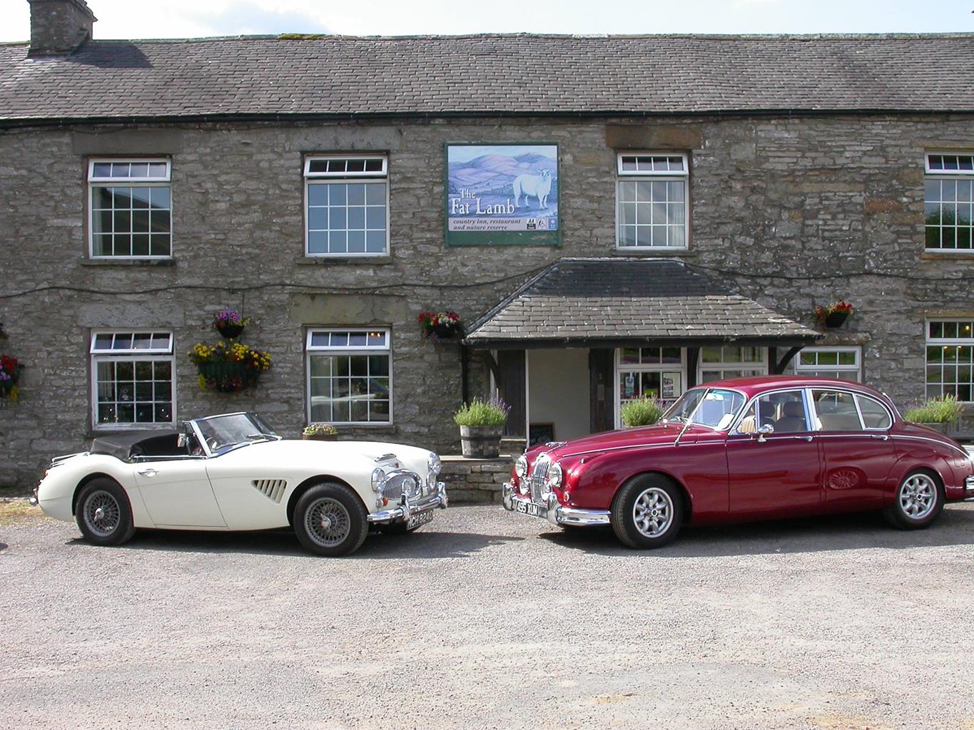
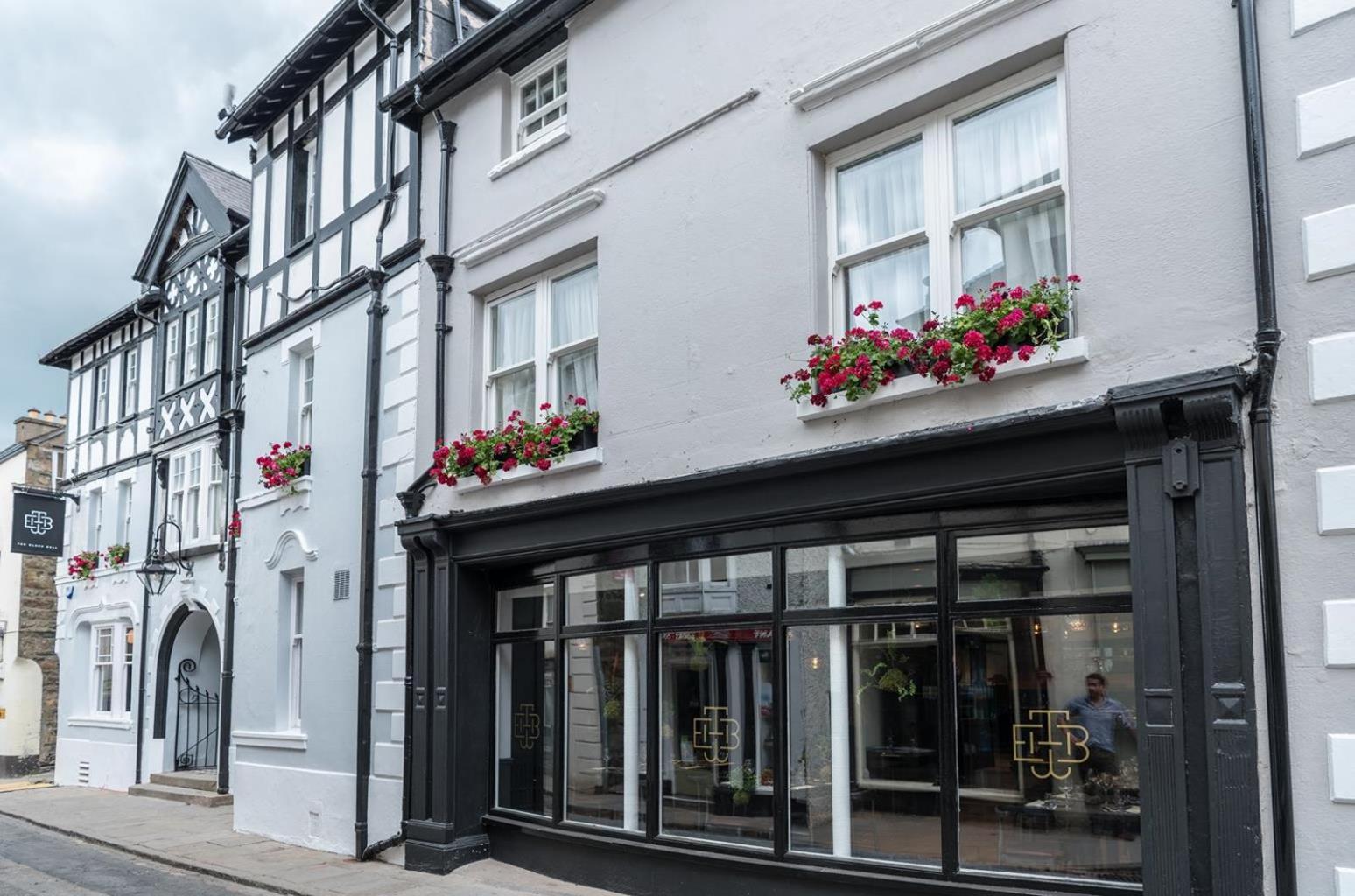
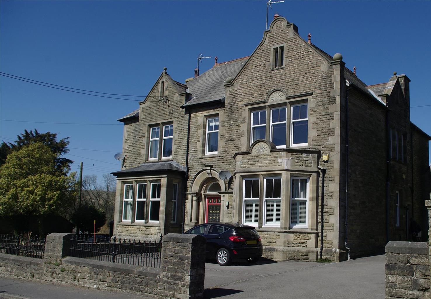
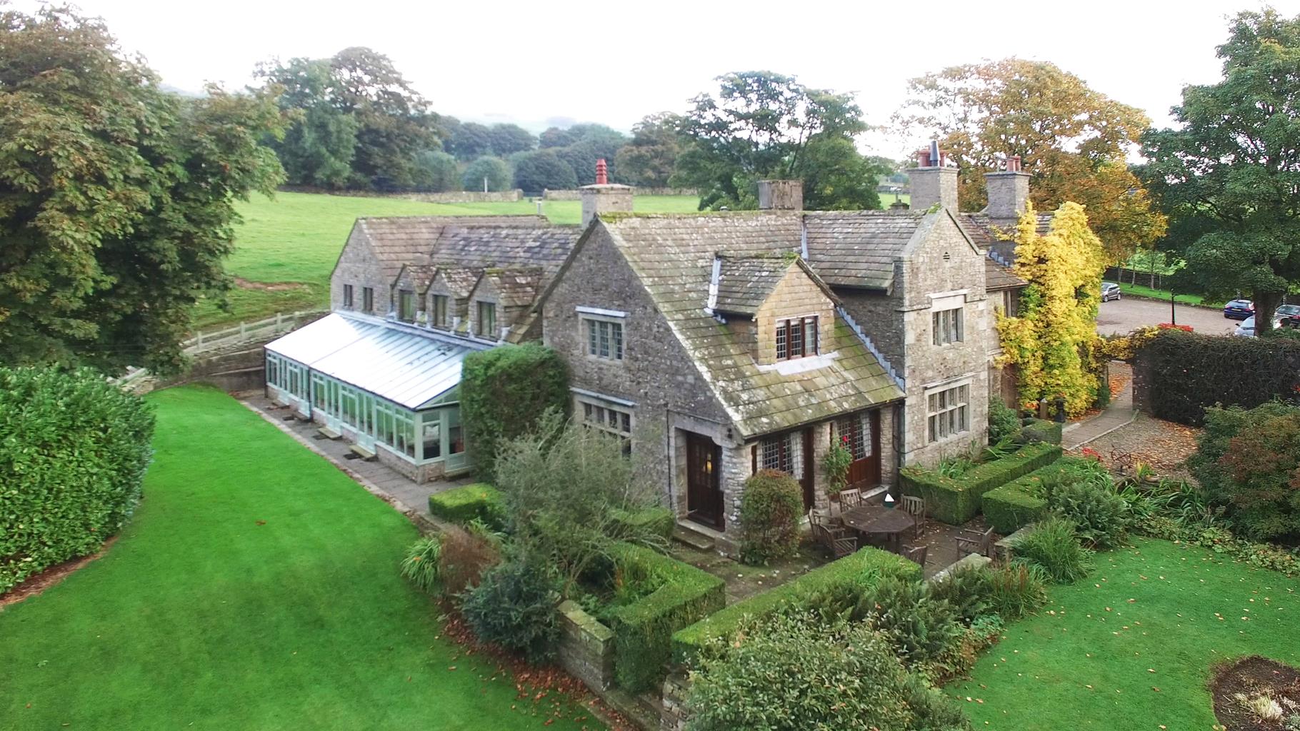
Nearby stays
Restaurants and Pubs


Nearby experiences
Recommended things to do

Why choose Rated Trips?
Your trusted guide to rated places across the UK
The best coverage
Discover more than 15,000 professionally rated places to stay, eat and visit from across the UK and Ireland.
Quality assured
Choose a place to stay safe in the knowledge that it has been expertly assessed by trained assessors.
Plan your next trip
Search by location or the type of place you're visiting to find your next ideal holiday experience.
Travel inspiration
Read our articles, city guides and recommended things to do for inspiration. We're here to help you explore the UK.