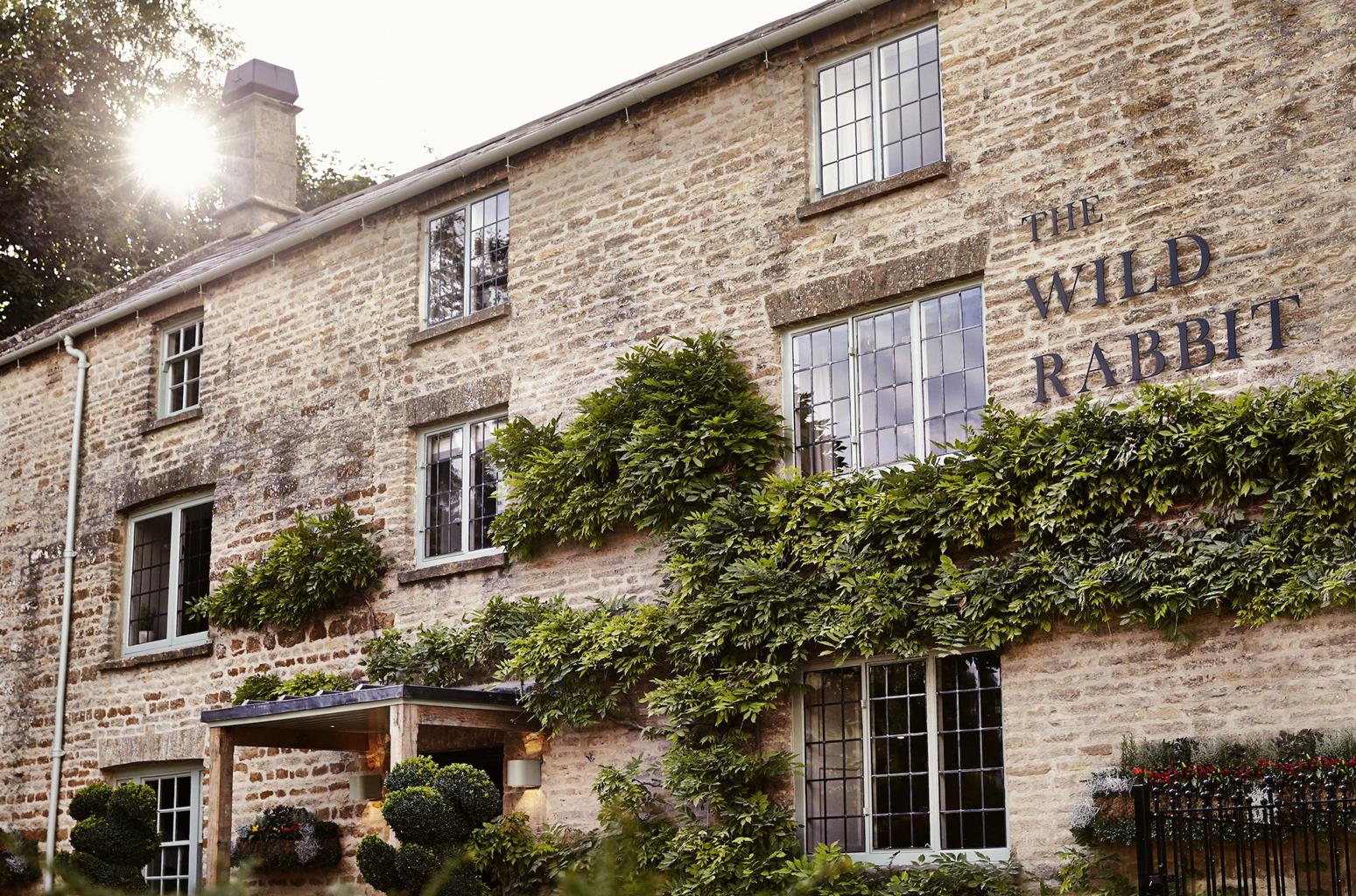

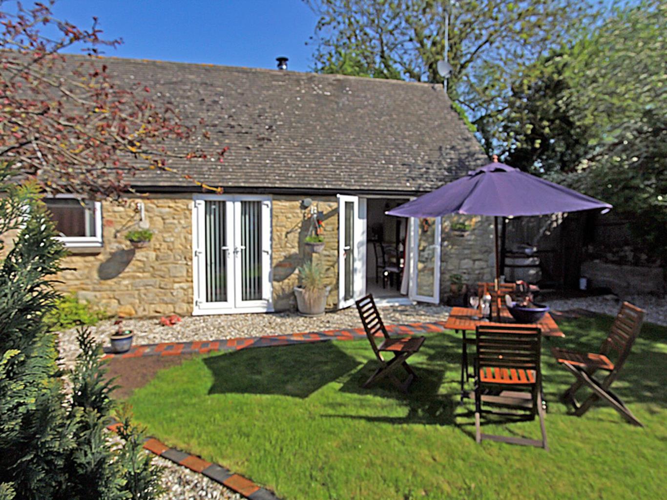
Lower End Barn
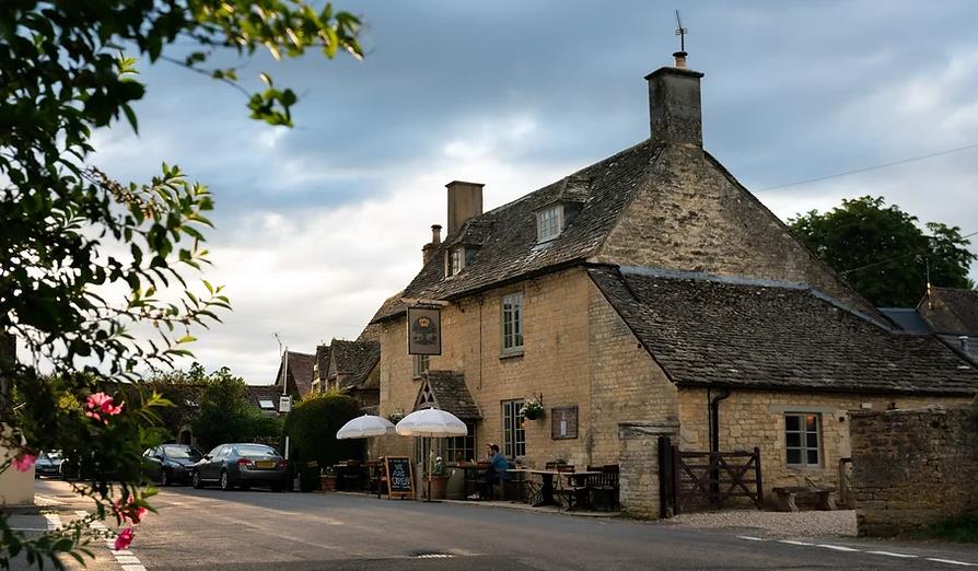
Just a few miles from Charlbury with its excellent pubs and quirky shops, Lower End Barn is a…

A gentle walk through rolling Oxfordshire farmland and a corner of an ancient forest.
Wychwood
5.75 miles (9.2kms)
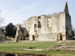
The Wychwood takes its name from a local Saxon tribe, the Hwicce. At the time of the Norman conquest, Wychwood Forest was one of four royal hunting grounds in England, and covered most of western Oxfordshire. The leafy remains of these once magnificent lands are now mostly confined to the hilltops that lie between Ascott-under-Wychwood, Charlbury, Ramsden and Leafield, and private land ownership means that access for walkers is sometimes frustratingly limited.
At its heart is a National Nature Reserve, which preserves some 360 species of wild flowers and ferns, including the elusive yellow star of Bethlehem and the bizarre toothwort, a parasitic plant that is found on the roots of some trees. This walk takes you through the edge of the old woodland, on a path that in spring is carpeted with drifts of bluebells that stretch away as far as you can see. The rich variety of wild flowers means a corresponding abundance of butterflies, including peacock, tortoiseshell and orange tip.
By 1300, the once-flourishing forest had been split into three sections: Woodstock, based around the royal hunting lodge first built here during the reign of Ethelred II; the area around Cornbury Park; and a section around Witney, where the Bishop of Winchester had built his palace. The forest continued to decline and, by 1857, only 10 square miles (26sq km) were left. As the enclosure of land became commonplace in the 1860s, Kingstanding Farm, passed on this walk, was one of seven farms built at this time to take advantage of the newly available land.
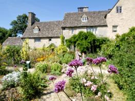
The village of Ascott-under-Wychwood is tucked in the valley below the remnants of the Wychwood, along with its near neighbours Shipton-under- Wychwood and Milton-under-Wychwood. Ascott may not be the prettiest village, but it has another claim to fame: the Ascott Martyrs. These 16 young women played their part in the Agricultural Revolution of the 19th century when, in 1873, they attempted to dissuade Ramsden men from taking over the jobs of local men who had been sacked for membership of the Agricultural Workers’ Union. Indeed, the women were accused of encouraging the imported labourers to join the same union. Their punishment – imprisonment with hard labour – caused a riot outside the court in Chipping Norton and the women had to be secretly transferred to Oxford gaol. Their sentences were later remitted by Queen Victoria and some accounts say she sent each woman a red flannel petticoat and five shillings. The union presented them with blue silk for new dresses and £5 each.
At the postbox on the village street, turn up the adjacent School Lane, passing various houses and the Old School at the end on the right. Follow the bridleway straight on into the field ahead, with the hedge to your right, passing through two gates. Stay on the path round the edge of the field as it kinks left then right. Keep straight on, descend steadily, and follow as the track bends right. At the hedge in the far corner turn right then immediately left through the second of two wide openings in the hedge. Keep left round the edge of the field towards Ascott-under-Wychwood to meet a lane.
Turn left along the lane through Ascott d’Oyley. Beyond d’Oyley House and just before a recreation ground, turn left up a track, Priory Lane, which becomes a grassy path under trees. It bends sharp right at a path junction and, after passing some allotments, emerges at a road by a house. Turn left up the road and cross the main road at the top with care, then continue straight ahead up the lane, signed ‘Restricted byway’. Follow this straight uphill for a mile (1.6km) to pass through the buildings of Kingstanding Farm.
Continue down the stony track and keep straight on at a junction along the bottom of a winding, secret valley, with the solid spire of Leafield church up to your right. Emerge at a main road; turn left and follow the road as it snakes uphill, with Wychwood Forest to your right. After about 1 mile (1.6km) the road descends into woodland. As it ascends again, look for a wooden gate on the left, signed ‘Circular Walk Footpath’.
Turn left through here and follow the track up the edge of the woods. Keep right and cross the clearing of Stag’s Plain. Bend left and right and continue on the track through the woods, carpeted with bluebells in spring.
Start to descend and emerge from the woods. Continue straight ahead, following the track downhill with a copse on your right. Go through a gap in the hedge in front of you, passing Smallstones Farm over to the left. Bend left at the bottom of the field, go through the gap on the right and take the grassy path that leads left, down the hill and past Chilson Hill Cottage on the right.
At the bottom of the drive turn right along the main road and immediately left down the road that leads into Chilson village. Enter the village and keep straight on past the tiny triangular green, passing the old Primitive Methodist chapel on your left. Reach the end of School Lane and the start of the walk.
Field paths, quiet roads, woodland tracks
Gently rolling hills of arable farmland, ancient woods
Lead essential for road stretches, otherwise excellent
OS Explorer 180 Oxford, Witney & Woodstock
On village street near postbox, Chilson
None on route
Read our tips to look after yourself and the environment when following this walk.
Located at the heart of England, Oxfordshire enjoys a rich heritage and surprisingly varied scenery. Its landscape encompasses open chalk downland and glorious beechwoods, picturesque rivers and attractive villages set in peaceful farmland. The countryside in the northwest of Oxfordshire seems isolated by comparison, more redolent of the north of England, with its broad views, undulating landscape and dry-stone walls. The sleepy backwaters of Abingdon, Wallingford, Wantage, Watlington and Witney reveal how Oxfordshire’s old towns evolved over the centuries, while Oxford’s imposing streets reflect the beauty and elegance of ‘that sweet city with her dreaming spires.’ Fans of the fictional sleuth Inspector Morse will recognise many Oxford landmarks described in the books and used in the television series.
The county demonstrates how the strong influence of humans has shaped this part of England over the centuries. The Romans built villas in the pretty river valleys that thread their way through Oxfordshire, the Saxons constructed royal palaces here, and the Normans left an impressive legacy of castles and churches. The philanthropic wool merchants made their mark too, and many of their fine buildings serve as a long-lasting testimony to what they did for the good of the local community.
Discover more than 15,000 professionally rated places to stay, eat and visit from across the UK and Ireland.
Choose a place to stay safe in the knowledge that it has been expertly assessed by trained assessors.
Search by location or the type of place you're visiting to find your next ideal holiday experience.
Read our articles, city guides and recommended things to do for inspiration. We're here to help you explore the UK.