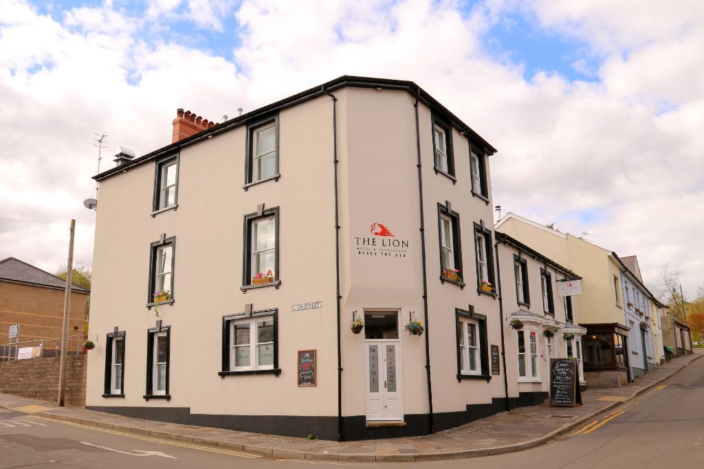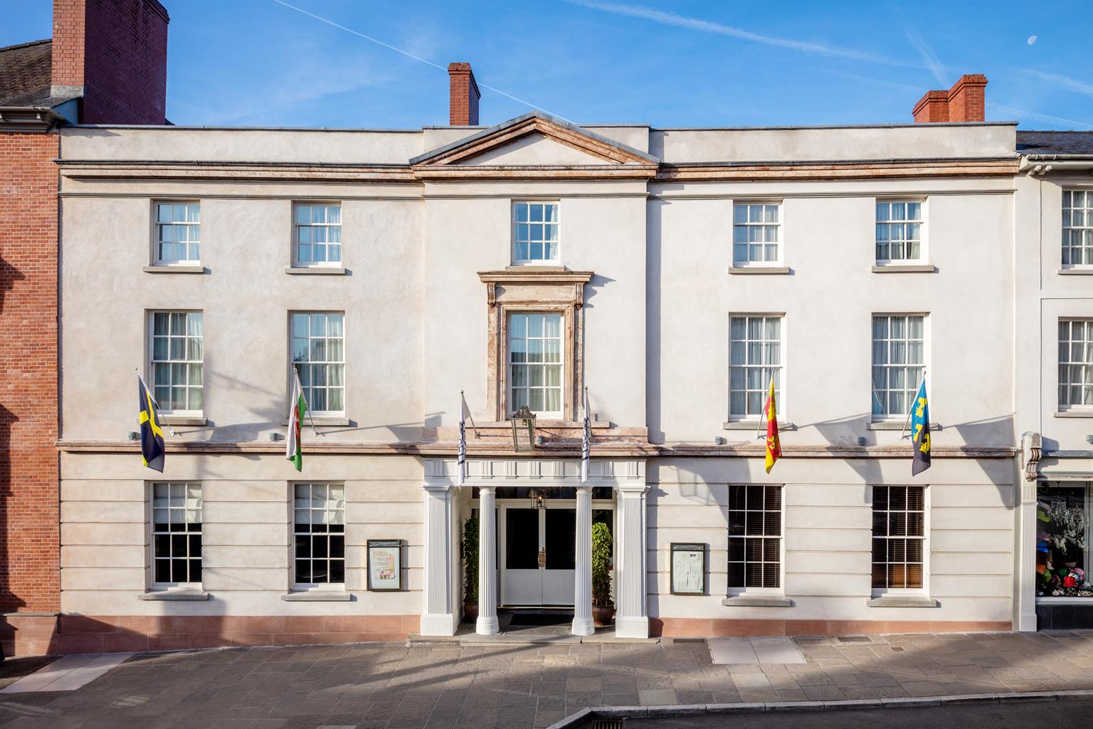
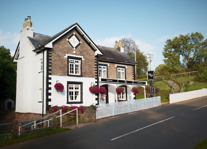


Angel Hotel
Once a coaching inn, this has long been a popular venue for both locals and visitors, with the…

Easy walking along a disused railway and a canal tow path.
Govilon
3.5 miles (5.7kms)
This delightful little walk follows the lines drawn by two of the area’s main 18th- and 19th-century transport arteries. The outward leg follows the now defunct Merthyr, Tredegar and Abergavenny Railway, often known as the ‘Heads of the Valleys Railway’.
In places, the line follows the path of the much earlier Bailey’s Tramroad, which ran from Crawshay Bailey’s Ironworks at Nantyglo to Govilon Wharf on the banks of the canal. The initial construction, which stretched between Abergavenny and Brynmawr, was started by the Merthyr, Tredegar and Abergavenny Railway Company. This was then acquired by the London and North Western Railway, who were keen to gain a foothold in South Wales. The line opened in 1862 and closed in 1958. It now forms part of the Govilon to Abergavenny Community Route.
The return leg winds along the towpath of the Monmouthshire and Brecon Canal, originally known as the Brecknock and Abergavenny Canal. Built between 1797 and 1812, it represents a remarkable feat of engineering, with over 23 miles (37km) of its total 33 miles (53km) being level, amazing when you think of the mountainous terrain that it traverses. Linking Brecon with Newport and hence the Bristol Channel, the canal was used to transport stone and processed lime from local quarries, including the impressive Llangattock Escarpment, seen from the Black Mountains above Crickhowell.
The canal drifted into disrepair by the 1930s but has been restored by British Waterways, with support from the National Park. It was re-opened for leisure traffic in 1970. However, on 16 October 2007, the canal burst its banks near Gilwern, sending a flood of water down into the Usk valley. People had to be evacuated by from nearby houses. It was declared that a 16-mile (26km) section of the canal would have to be drained in order for the banks to be thoroughly inspected. The repairs took 17 months but the canal was re-opened in early 2009. It is now home to several companies that hire out narrowboats, many of which are electrically powered. These can be charged at various points along the canal and are proving popular with holidaymakers who prefer a form of propulsion slightly less damaging and distinctly quieter than a conventional narrowboat engine.
A clear tree-covered track runs parallel to the car park. Go through the barrier on to it and turn left. This is now the line of the railway. Follow it beneath a bridge to a residential road and go straight across, around a barrier. Continue behind a row of houses. The path then vaults the canal on a bridge that you should note as it marks the spot where you leave the waterside on the return leg. Continue parallel to the canal for a while, then duck back into woodland, keeping straight ahead at a junction, waymarked right to the canal. The path passes beneath deciduous trees made up mainly of oak, birch and ash. You’re likely to see many small birds, especially those of the garden variety, including most members of the tit family, robins and wrens.
About 1.25 miles (2km) after crossing the canal, you’ll come to a gate and a car park on the outskirts of the small village of Llanfoist, which grew up on the transport links of the area. Its lime kilns were fed by limestone quarried on the flanks of Blorenge and brought down to the canal by another tramway. Turn right, cross the main road and walk up the lane opposite. This passes the church on the left and climbs steeply up towards the canal. As the lane swings sharply left bear right to climb steps up onto the tow path.
Turn right and continue along the bank, which is particularly beautiful in autumn when the magnificent beech woods show off a full spectrum of autumn colours. After about a mile (1.6km), you’ll cross a bridge to continue on the south bank, with some canalside houses taking prime waterfront locations opposite. Shortly after this you come to the Govilon Boat Yard, where an interpretation board maps out many interesting facets of the canal’s history.
Pass the impressive boat yard and another attractive waterside building and then, at the bridge, fork left to follow a well-surfaced path away from the canal and around to the right. This path leads back on to the disused railway where you bear left to follow it back into the residential area and on to the car park.
Clear, well-surfaced tracks and paths
Mixed woodland and tranquil canal banks
Family walkways so scoop the poop
OS Explorer OL13 Brecon Beacons National Park
Small roadside car park, southwest of Govilon
None on route
Read our tips to look after yourself and the environment when following this walk.
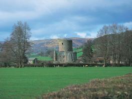
In their bid to control the borderlands of Monmouthshire – also known as the Marches – the Normans built a triangle of castles: Grosmont, Skenfrith and White. At first, they were simple wooden structures strengthened by earthworks, but when the lively Welsh refused to stop attacking them, it was decided more permanent fortresses were needed. All three are worth a visit and the views from the battlements at White Castle over the surrounding countryside to the Black Mountains are stunning, as is all the scenery in this area – consisting of a patchwork of low hills, hidden valleys, fields criss-crossed with hedgerows and small belts of woodland.
Monmouth itself makes a great base to explore the beautiful Wye Valley, as well as being known as the home of Rockfield Studios, where Queen recorded Bohemian Rhapsody in 1975. The largest town in the county, Abergavenny is creating a name for itself as the foodie capital of the Usk Valley, and has held a weekly cattle market on the same site since 1863. Its location just six miles from the English border means it’s often described as the ‘gateway to Wales’.
Discover more than 15,000 professionally rated places to stay, eat and visit from across the UK and Ireland.
Choose a place to stay safe in the knowledge that it has been expertly assessed by trained assessors.
Search by location or the type of place you're visiting to find your next ideal holiday experience.
Read our articles, city guides and recommended things to do for inspiration. We're here to help you explore the UK.