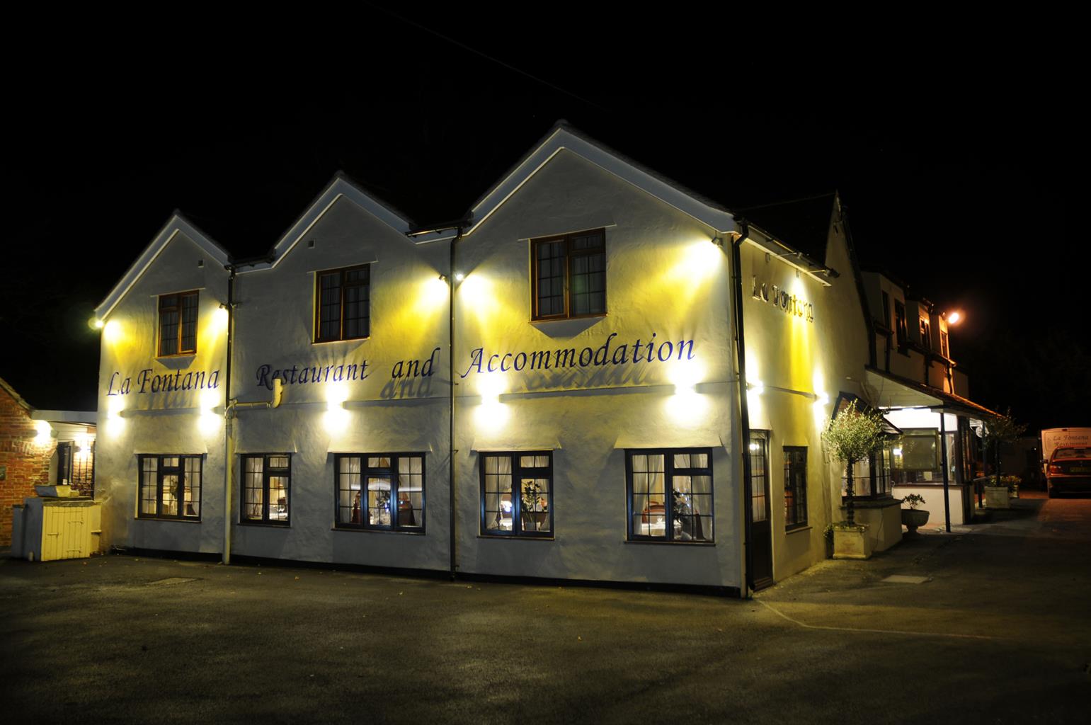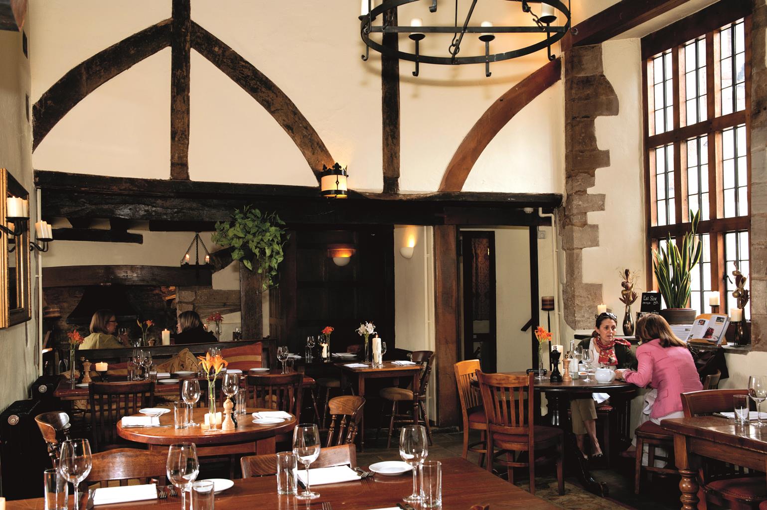

The Railway Inn
The Railway Inn is traditional family-run Inn located beside Culham Railway Station and is the…

Abingdon
6.5 miles (10.5kms)
From a distance, driving along the nearby A34, Abingdon doesn’t look much. It’s all business parks and out-of-town shopping centres. But leave the car behind, stroll its ancient streets and you’ll be pleasantly surprised at what you find. Until 1867 Abingdon was the county town of Berkshire, later it was swallowed up when Oxfordshire greedily expanded her borders as part of the controversial county boundary changes of 1974. The town was originally developed around its famous abbey, founded in ad 700. Henry I appointed the Italian Abbot Foritius in 1100 and the abbey was soon acknowledged as a symbol of power and prosperity; it was dissolved in the reign of Henry VIII. Some of the abbey’s outbuildings still remain today, including the Gateway.
Often compared to Oxford’s magnificent Sheldonian Theatre, the splendid Old County Hall in the Market Place was completed in 1682 by Christopher Kempster of Burford, one of Wren’s master masons during the building of St Paul’s Cathedral. The Old County Hall is a perfect example of English Renaissance architecture – imposing and grand for such a small town.
The spire of the 15th-century St Helen’s Church soars above the town and can be seen for miles around. The church, which is partly 13th-century, is 108ft (33m) wide and yet only 97ft (30m) long. Inside there are five aisles, a 200-year-old candelabra and a splendid medieval painted ceiling in the Lady Chapel, representing the Tree of Jesse. Next door to the church are the Long Alley Almshouses – Long Alley, Brick Alley and Twitty’s. The oldest, Long Alley, dates from the mid-15th century. Diarist Samuel Pepys came here in 1668 and put a donation in the alms box.
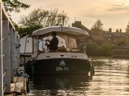
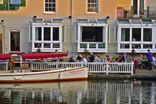
Abingdon is very much a river town, with its buildings laid out along one bank of the Thames. From the meadows it is reminiscent of a seaport, with all manner of sailing craft adding a dash of colour during the summer months.
From the car park go across to the B4016 and turn left, joining the adjacent tree-lined path. Take the turning for Milton and Harwell then, 25yds (23m) before the recreation ground road, take a narrow fenced path beside a house, no 44 the former The Old Inn (sign above the door). Cross a footbridge to some cottages and swing left to a kissing gate. Keep left at the immediate fork and follow the path alongside the Mill Brook. Cross a stile and a footbridge and continue to the next stile and footbridge.
Turn right to walk nearly 0.75 miles (1.2km), initially on tarmac but then a broad track, narrowing to a path between hedges. At a road turn right, then left at the next junction, following Drayton Road. Take the second signposted right of way on the right.
Keep ahead when the path joins a tarmac road and, when it curves left by a pair of cottages, look for a stile on the right. Go diagonally across the field, over a stile into the next pasture. Keep quite close to the left boundary and aim for some tall trees and houses in the distance. Veer right to the top right-hand corner of the field and find a footbridge with a handrail. Walk ahead with the field margin on your right. At the houses join a tarmac path. This is Overmead.
Follow Overmead, from number 31 counting down all the way to 1, to reach a T-junction. Turn right, passing Lambrick Way, to the next T-junction. Turn left and keep alongside the Thames to The Old Anchor Inn. Soon turn left through an archway by some almshouses. Keep the Church of St Helen on the right and head for the road. Cross over into East St Helen Street and make for the Old County Hall.
Turn right to reach Bridge Street, pass the Broad Face pub and cross the River Thames to the far bank. Go down the steps on the left to the towpath, pass under the road bridge and walk along the riverside path. Pass an illustrated map of Abingdon, go through a gate and cross meadows alongside the Thames, passing the ancient Culham Bridge on the left. Follow the line of Culham Reach and keep beside the water until you reach a sign for Sutton Courtenay.
Once over the cut follow the path across fields and back to the Thames. Cross several bridges and weirs at Sutton Pools and veer right at the road, passing the two pubs on the green. Follow the village street to the parish church and return to the car park.
Field paths and tracks, stretches of road and Thames Path. Town and village streets (roads can be busy), several stiles
Flat farmland and meadows south of Abingdon
On lead in Sutton Courtenay; not ideal in Abingdon
OS Explorer 170 Vale of White Horse
Small car park south of the church at Sutton Courtenay
None at start but various in Abingdon, including Hales Meadow Car Park and Abbey Meadow Park
Read our tips to look after yourself and the environment when following this walk.
Located at the heart of England, Oxfordshire enjoys a rich heritage and surprisingly varied scenery. Its landscape encompasses open chalk downland and glorious beechwoods, picturesque rivers and attractive villages set in peaceful farmland. The countryside in the northwest of Oxfordshire seems isolated by comparison, more redolent of the north of England, with its broad views, undulating landscape and dry-stone walls. The sleepy backwaters of Abingdon, Wallingford, Wantage, Watlington and Witney reveal how Oxfordshire’s old towns evolved over the centuries, while Oxford’s imposing streets reflect the beauty and elegance of ‘that sweet city with her dreaming spires.’ Fans of the fictional sleuth Inspector Morse will recognise many Oxford landmarks described in the books and used in the television series.
The county demonstrates how the strong influence of humans has shaped this part of England over the centuries. The Romans built villas in the pretty river valleys that thread their way through Oxfordshire, the Saxons constructed royal palaces here, and the Normans left an impressive legacy of castles and churches. The philanthropic wool merchants made their mark too, and many of their fine buildings serve as a long-lasting testimony to what they did for the good of the local community.
Discover more than 15,000 professionally rated places to stay, eat and visit from across the UK and Ireland.
Choose a place to stay safe in the knowledge that it has been expertly assessed by trained assessors.
Search by location or the type of place you're visiting to find your next ideal holiday experience.
Read our articles, city guides and recommended things to do for inspiration. We're here to help you explore the UK.