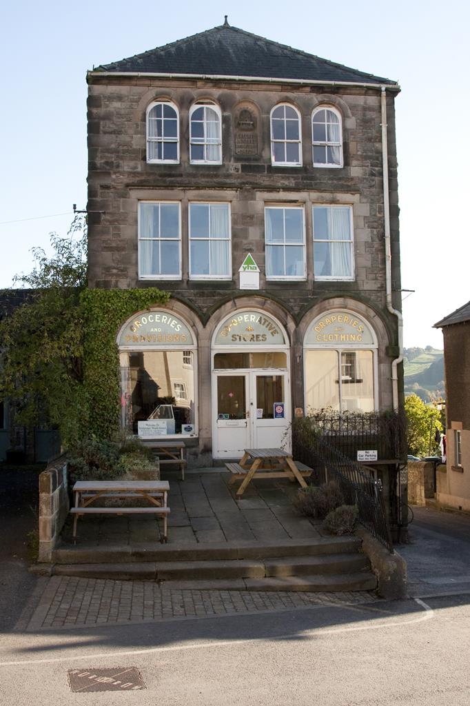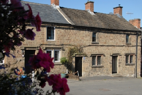
Marmalade Cottage
The quirkily named Marmalade Cottage is Grade II listed and over 300 years old. It’s set in the…

A Druid's moorland, plenty of fascinating rocks, and a stone circle.
Stanton Moor
4.2 miles (6.7kms)
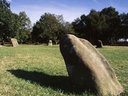
Stanton Moor is a small and distinctive upthrust of gritstone amid the limestone dales of the White Peak, where heather and silver birch provide a marked contrast to the rolling pasture and undulating river valleys all around. To the east it looks down on to the Derwent Valley and Matlock, while to the west there are panoramic views to Bakewell and the valley of the River Wye.
The whole of the moor is a Scheduled Ancient Monument (a legally protected site due to its historical importance), dotted with dozens of ancient cairns, barrows and tumuli, although much of it is hidden by heather, gorse and bilberry. Since the Bronze Age, settlers have favoured the moor for the protection that this high vantage point must have offered. However, its association with druids and ritual worship has made Stanton Moor particularly well known. Nine Ladies stone circle, situated in a clearing of silver birch, has nine stones, which are supposed to represent women who were caught dancing on the sabbath and turned to stone. The King Stone, set back from the circle, is the unfortunate fiddler. Antiquarians over the centuries have made much of Stanton Moor as a magnet for druidical activity, with the bizarre rock carvings at Rowtor Rocks interpreted as sacrificial basins, altars and rock cells for ungodly practices. Although there’s little evidence of ritual worship and human sacrifice, the moor exudes an air of mystery that makes it a great place to explore.
On the route across the moor you will pass several giant blocks of gritstone standing isolated among the heather. Many of these blocks around the moors have their own name, such as the Cork Stone, Heart Stone, Twopenny Loaf (Andle Stone) and the Cat Stone. They are all natural lumps of stone, weathered into fantastic shapes. Some believe that they were once probably objects of pagan worship, although now their devotees are usually climbers who use them for ‘bouldering’. Along the eastern edge of the moor you’ll pass Earl Grey Tower. This folly was built by the Thornhill family to celebrate the passing of Grey’s historic Reform Bill in 1832 which gave middle-class men the vote.
Head left on the road and past the quarry entrance. After a quarter of a mile (400m) turn right for a signposted path on to the moor.
Go through a gate then fork directly left at the Cork Stone. This quickly becomes a wide track across the middle of the heather moor (ignore narrower paths to either side). Stay on the wide path as it enters silver birch scrub, then near a fence ahead, in a slight clearing, fork right on to a wide grassy track. Fork right at a corner of fencing then pass the King Stone and Nine Ladies.
From the interpretation panel at the stone circle, take a wide path directly opposite. Maintain your direction ahead at a split in the track; the wide sandy path leads to the Earl Grey Tower. Cross the stile then go down a set of stone steps on the far side of the tower. Keep a fenceline on your right on a narrow woodland path through Stanton Moor Edge. Detour left briefly at a corner for the Cat Stone or stay right with the fence for the main path.
Cross over a stile by a National Trust sign, then fork left and gently away from the fenceline. Turn left at a track junction, and go downhill to the road. Turn right, then take the next (signed) footpath on your left.
Follow this path beside a campsite, turn left by some buildings then right at Hill Carr Barn. A constrained grassy track squeezes through a stile then you follow the right-hand edge of two fields to meet the unsurfaced Clough Lane. Turn right along this and down to Cowley Knoll Farm.
Turn left on to a surfaced lane, then almost immediately right, by Uppertown Farm. The gated track leads to a path along the left edge of fields. Then, after hugging a wall on the right, the path continues past a cottage and begins a huge loop around a hilly outcrop and plantation. At the far end go through a gate and descend by a wire fence, bending right to the bottom of the plantation.
For the walk extension fork left and downhill. Otherwise, continue with the level track as it swings back towards Birchover. Join a gravel drive on a bend, take the lower route, then cross a junction, heading past The Old Vicarage. (For Rowtor Rocks, look for a narrow path on the left opposite The Old Vicarage.) At the road take the signposted footpath by the Millennium Stone (opposite the pub). Rise up along a wooded ridge back to the car park.
Firm moorland tracks, woodland and field paths
Heather moorland and rolling pastoral landscapes
Keep on lead and under control; sheep on moor.
OS Explorer OL24 Peak District – White Peak Area
Car park opposite Birchover Stone Ltd on Birchover Road
Main Street, Birchover
Read our tips to look after yourself and the environment when following this walk.
The natural features of this central English county range from the modest heights of the Peak District National Park, where Kinder Scout stands at 2,088 ft (636 m), to the depths of its remarkable underground caverns, floodlit to reveal exquisite Blue John stone. Walkers and cyclists will enjoy the High Peak Trail which extends from the Derwent Valley to the limestone plateau near Buxton, and for many, the spectacular scenery is what draws them to the area.
The county is well endowed with stately homes – most notably Chatsworth, the palatial home of the Duke and Duchess of Devonshire, with its outstanding collections of paintings, statuary and art. Other gems include the well preserved medieval Haddon Hall, the Elizabethan Hardwick Hall, and Kedleston Hall, whose entrance front has been described as the grandest Palladian façade in Britain.
The spa town of Matlock is the county’s administrative centre and other major towns of interest include Derby and the old coal mining town of Chesterfield, with its crooked spire. Around the villages of Derbyshire, look out for the ancient tradition of well dressing, the decorating of springs and wells – the precious sources of life-sustaining water – with pictures formed from flowers.
Discover more than 15,000 professionally rated places to stay, eat and visit from across the UK and Ireland.
Choose a place to stay safe in the knowledge that it has been expertly assessed by trained assessors.
Search by location or the type of place you're visiting to find your next ideal holiday experience.
Read our articles, city guides and recommended things to do for inspiration. We're here to help you explore the UK.