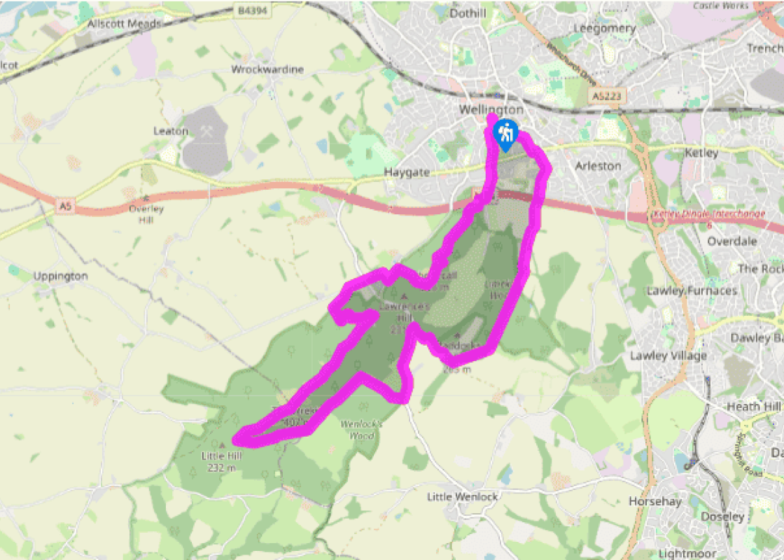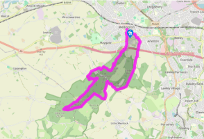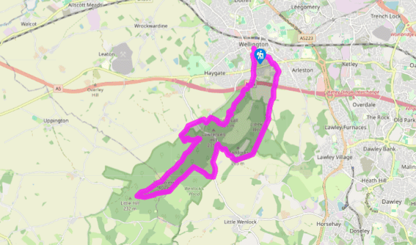
All around The Wrekin
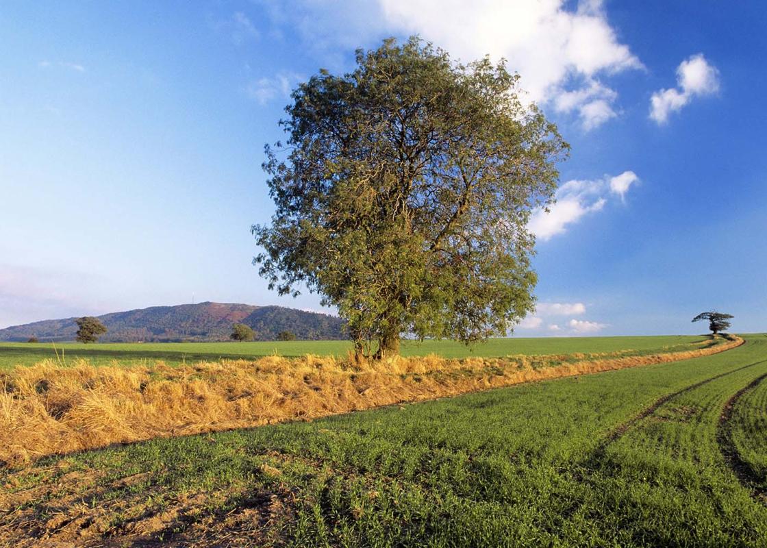
Walk along Tan Bank away from the town centre. Cross Victoria Road and go forward a little way, still on Tan Bank, before turning left on a path just after the police station. Walk to New Church Road and turn right. At Holyhead Road, turn left, then cross to Limekiln Lane, noticing the Old Hall School (built in 1480) on the corner. Soon the slopes of The Wrekin appear, as Limekiln Lane heads under the M54 into open country./p>
At the end of the lane, go straight on into Limekiln Wood; the path leads along the edge of the wood at first. At a junction, keep straight on, then after a few paces fork right into the heart of the wood. Ignore branching paths, sticking to the well-trodden main route. At the top, bear right. Pass some boulders in the track, descend to a junction and turn left. Go left again when you come to a road.

Been on this walk?
Send us photos or a comment about this route. Or recommend a route of your own.

Walking in Safety
Read our tips to look after yourself and the environment when following this walk.

Get an AA guide
Explore our range of ‘50 Walks in’ guides - they’re the ideal companion for a ramble.
Been on this walk?
Send us photos or a comment about this route. Or recommend a route of your own.
Walking in Safety
Read our tips to look after yourself and the environment when following this walk.
Get an AA guide
Explore our range of ‘50 Walks in’ guides - they’re the ideal companion for a ramble.
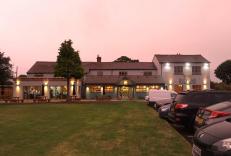
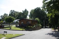
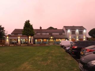
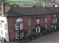
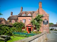
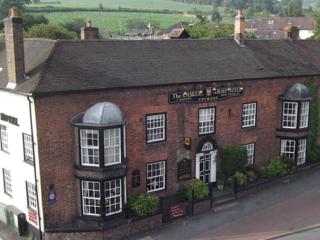
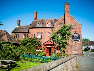
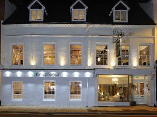
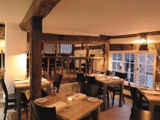
Nearby places to stay
View all (8)