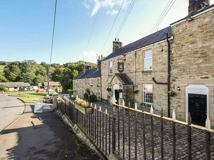
Converted with the utmost consideration, the 18th-century Grindon Farmhouse looks straight down…
Allendale Moor

3.25 miles (5.3kms)
About the walk
For the Romans, it was perhaps a happy coincidence that these North Pennine hills – with their rich deposits of lead ore – sat behind Hadrian's Wall. Had they lain further north, history might have played out very differently. Lead was highly important to the Romans for plumbing and building construction, but more significantly, it also contains silver, which formed the basis of the Roman currency and economy. The Romans mined the area extensively, and although production resumed under the Prince Bishops, it was not until the beginning of the 17th century that the scale of exploitation again achieved industrial levels.
Troubled times
Until the Union of England and Scotland under King James, the border region was constantly plagued both by raiding reivers and the pillaging armies of both sides, and investment in anything more than a strong, defensible house was probably foolhardy. It is claimed that there was a greater concentration of bastles and peles in this valley than anywhere else.
Peace and industrial development
The new peace brought an immediate revival of the local lead industry and with it the construction of a large smelt-mill beside the river, just north of the town. It was a massive undertaking, with water being channelled not only from the River East Allen but Weardale too, to drive a waterwheel that powered both the ore-crushing machinery and the bellows forcing air into the furnaces. The furnaces were vented by an impressive flue system, with tunnels taking the smoke to chimneys on top of the hill, more than 2 miles (3.2km) away. This was no altruistic gesture to rid the valley of noxious fumes, but an important part of the smelting process, for the gases contained both lead and silver, which were deposited upon the flue walls, to be recovered by youngsters periodically sent inside. The Allendale ores were particularly rich in silver, and when the industry peaked in the 19th century, the mines were producing 16,000 ounces of silver each year. Indeed a mine up at Allenheads was once the largest silver mine in the world.
Decline and a new beginning
With the river not navigable, the heavy ingots of lead and silver had to be taken out of the valley by packhorse, an expensive and risky process. It was not until 1865 that the railway came to the valley, linking Allendale to Hexham and the rest of the country, built initially to service the lead industry. It subsequently opened to passenger traffic, but by then the industry was already in decline. The best veins had been worked out and what was left was proving increasingly difficult and uneconomic in the face of foreign imports. The last mine closed in 1894. However, the railway gave birth to the new industry of tourism, the town in its beautiful natural setting becoming something of a resort. Although the railway eventually closed to passengers in 1930 and freight 20 years later, tourism continued and remains an important element of the local economy.
Walk directions
Leave Market Place along the Whitfield road past the Allendale Inn. Just around the left-hand bend, leave sharp right on a footpath signed to Allenmill Bridge. By the outlet of the Blackett Level, cross a stream and carry on beside the river. Later you'll see the truncated abutment of a skew bridge, part of the Hexham and Allendale Railway, whose terminus lay on the west bank by the old smelt-mill. Keep going, shortly reaching a lane beside Allenmill Bridge.Cross the river to visit Allen Mill.
Return over the bridge and continue along the lane past cottages and a sports ground. A little further on is the former Allendale Town Station, now a caravan site with the converted Station House let as accommodation. Just before there, leave the lane through a kissing gate on the right and walk through to the edge of a field. Climb by the left hedge to emerge onto another lane at the top.
Opposite, beside a row of houses, a path to Housty climbs steeply up the hill behind. At the top bear right below a farmhouse to a field gate in the corner. Go through that and keep by the left wall to pass through a hand gate in the next corner.
Turn right to walk away beside the wall. Through a field gate, wind right and then left, passing through a gate below a wood. At the next bend, keep ahead through another gate and continue along the top edge of a field. Where the left wall eventually ends, bear slightly left across the subsequent field to find a ladder stile in the end wall by a power post. A fenced path drops to the right, ultimately meeting a lane at the bottom, Leadside Bank.
Turn left up the hill for some 350yds (320m). Turn right over a ladder stile next to a cattle grid along a track signed to Moor House. Approaching a house, bear off right to a ladder stile beside a gate. Head diagonally right to another ladder stile in the far-bottom field corner. Continue down beside the left wall to cross Philip Burn.
Climb to yet another stile above and then swing right alongside a fence. Pass through a clump of trees and on to a stone stile in the corner. Turn down at the field edge, leaving through a kissing gate. Continue dropping through scrub to a gated bridge at the bottom. A stepped path rises beyond to emerge onto a street. Go left and then right, walking down past the fire station into the town. Reaching the main street, turn left back to the market square.
Additional information
Riverside and hill field paths, 7 stiles
Riverside and high pasture
Farming country, keep dogs on leads
AA Walker's Map 29 Hadrian's Wall
Ample parking in village centre
In village centre
WALKING IN SAFETY
Read our tips to look after yourself and the environment when following this walk.
Find out more
Also in the area
About the area
Discover Northumberland
If it’s history you’re after, there’s heaps of it in Northumberland. On Hadrian’s Wall you can imagine scarlet-cloaked Roman legionaries keeping watch for painted Pictish warriors while cursing the English weather and dreaming of home. Desolate battlefield sites and hulking fortresses such as Alnwick, Dunstanburgh, Bamburgh and Warkworth are reminders that this, until not so very long ago, was a contested border region. The ruins of Lindisfarne bear witness to the region’s early Christian history.
Northumberland also has some of Britain’s best beaches. On summer days, and even in winter, you’ll see surfers and other brave souls making the most of the coast. Inland, there are some great walks and bike rides in the dales of the Cheviot Hills and the Simonsides – just hilly enough to be interesting, without being brutally steep. There's dramatic scenery in the High Pennines, where waterfalls plunge into deep valleys, and there are swathes of heather-scented moorland. Northumberland National Park covers over 400 square miles of moorland and valleys with clear streams and pretty, stone-built villages. It’s just the place for wildlife watching too. You’ll find flocks of puffins, guillemots and other seabirds around the Farne Islands, and seals and dolphins offshore.
Nearby stays
Restaurants and Pubs
Nearby experiences
Recommended things to do
Why choose Rated Trips?
Your trusted guide to rated places across the UK
The best coverage
Discover more than 15,000 professionally rated places to stay, eat and visit from across the UK and Ireland.
Quality assured
Choose a place to stay safe in the knowledge that it has been expertly assessed by trained assessors.
Plan your next trip
Search by location or the type of place you're visiting to find your next ideal holiday experience.
Travel inspiration
Read our articles, city guides and recommended things to do for inspiration. We're here to help you explore the UK.


