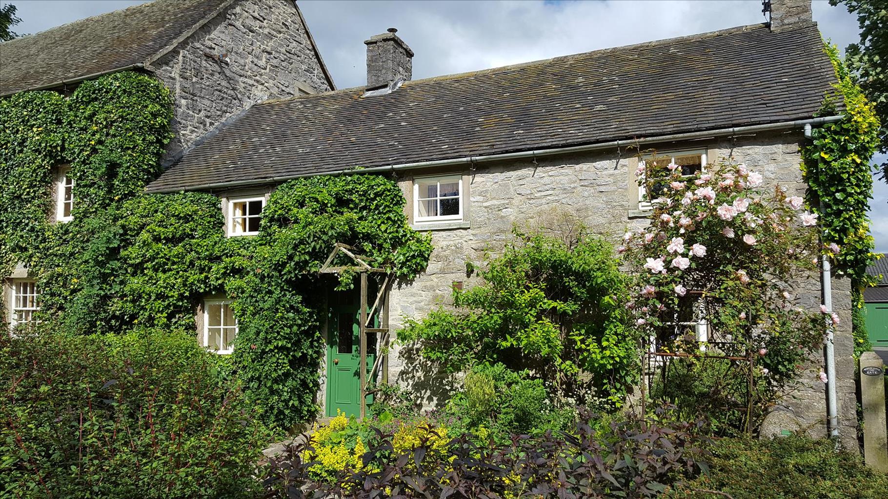
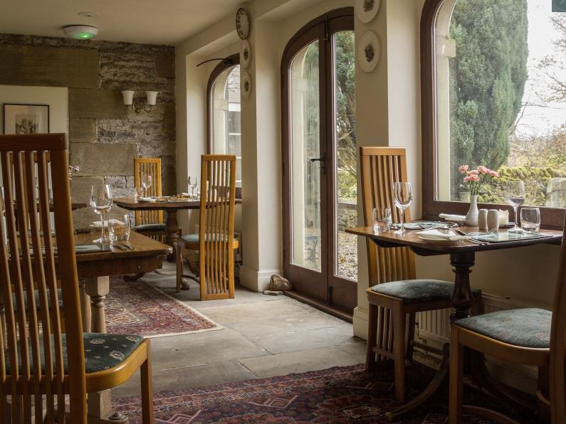
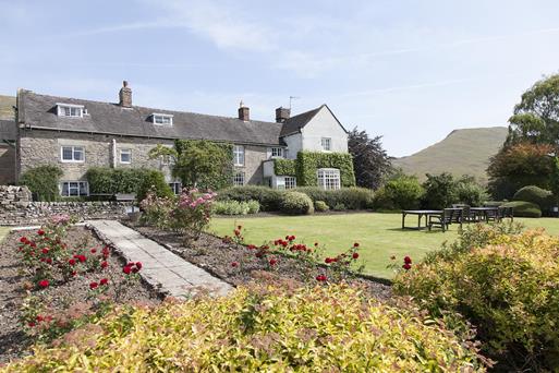

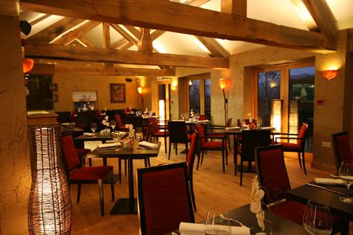

Swainsley Farm
Escape the hustle and bustle of modern life at Swainsley Farm. Relax in understated luxury at…

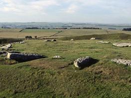
Follow the former Manifold Valley, route of one of England's most picturesque small railways.
Manifold Valley
5.9 miles (9.5kms)
Described by one local as ‘A line starting nowhere and ending up at the same place’, the narrow gauge Leek and Manifold Valley Light Railway was one of England’s most picturesque white elephants. Though it survived a mere 30 years from its first run in June 1904, its legacy is still enjoyed today. It ran for 8 miles (12.9km) from Hulme End to Waterhouses, where passengers and freight had to transfer to the standard-gauge Leek branch of the North Staffordshire Railway. The narrow-gauge railway owed its existence to Leek businessmen who feared that their town would lose out because of the newly opened Buxton-to-Ashbourne line.
Head south down the road then turn right on to the lane towards Butterton. Almost immediately turn right (before the ford) and go through a gate on the left and walk along a valley-bottom track.
Two junctions with three footbridges come in quick succession. Follow signs to Hillsdale, going straight ahead then right. Cross a small ford, then bend left at the start of fields. Rise near the field edge, flanking a hill then climbing more steeply to Hillsdale. Turn right, following a footpath over several fields and stiles, aiming roughly for the spire at Butterton. Emerge on to the road opposite Coxon Green Farm.
Turn right along the road, cross the long ford and then head uphill. Higher up, fork right away from Pothooks Lane to go past the church and Black Lion Inn. Turn right at a T-junction on to Waste Lane, then go left on to a track at a white flagpole. Cross a stile into fields, then head beside a row of trees and along a grassy spur. From a fingerpost, descend steeply on a rough and faint path through some trees and down to cross the stream via a shady wooden bridge.
Head directly uphill, away from the visible road embankment, then keep a hedge on your left. Cross a stile then exercise extreme caution as you exit directly on to a fast road on a slight but blind bend. Cross over, then fork almost immediately left towards Elkstone. Fork right across a stile on to a footpath, cross a couple of fields, then turn right behind a small derelict building. Follow the line of the wall, cross a stile then a stream and head uphill, keeping the fence on your left.
Towards the top of the field, just before the fence meets the wall at a large tree, cross a stile on the right. Head diagonally across the next field, veering left of a line of mature trees. Cross a stile and go through a gap in the next hedgerow. Cross to a gate at the far top corner of the next field, then across boggy ground. Fork diagonally across three small fields to a junction of paths at the next field corner (where a wall meets a hedge).
Go through a gate and ahead through the next field to emerge on the road by Shorecroft Barn. Turn right, then at the end, opposite the church, go left. When you reach the T-junction, turn right and pass Gap Farm.
At the T-junction with Cheadle Road, cross over on a dog-leg right then left on to School Lane. At a bend right, fork left through a squeeze stile on to a footpath. Descend gently through long narrow fields. Descend through scrub beside a wooded area, then zigzag over a stile and turn right to join the Manifold Way. Follow this easy, well-defined trail through an old railway tunnel, back to the car park.
Hard surface on Manifold Way, other footpaths can be rough in places and muddy in wet weather, many stiles
Woodland, meadows and valleys
Keep on lead near livestock, under control at all other times; cattle may be present
OS Explorer OL24 Peak District – White Peak Area
On Manifold Way near Wetton Mill
At Wetton Mill and beside village hall in Warslow
Exercise extreme caution at footpath exit on to B5053 near Warslow.
Read our tips to look after yourself and the environment when following this walk.
It was Staffordshire that bore the brunt of the largest non-nuclear explosion of World War II, when a munitions dump at RAF Fauld went up in 1944. It was also the county’s regiment that once boasted within its ranks the most decorated NCO of World War I, in the person of William Coltman (1891-1974). Going back a little further, George Handel penned his world-famous masterpiece The Messiah on Staffordshire soil. During another chapter of Staffordshire history, the county was home to the first canals and the first factory in Britain, and it had front-row seats for the drama surrounding one of the most notorious murder trials of the 19th century, that of Doctor William Palmer.
In outline, Staffordshire looks not unlike the profile of a man giving Leicestershire a big kiss. The man’s forehead is arguably the best region for hillwalking, as it comprises a significant chunk of the Peak District. This area is characterised by lofty moors, deep dales and tremendous views of both. Further south are the six sprawling towns that make up Stoke-on-Trent, which historically have had such an impact on Staffordshire’s fortunes, not to mention its culture and countryside. This is pottery country, formerly at the forefront of the Industrial Revolution and the driving force behind a network of canals that still criss-cross the county.
Discover more than 15,000 professionally rated places to stay, eat and visit from across the UK and Ireland.
Choose a place to stay safe in the knowledge that it has been expertly assessed by trained assessors.
Search by location or the type of place you're visiting to find your next ideal holiday experience.
Read our articles, city guides and recommended things to do for inspiration. We're here to help you explore the UK.