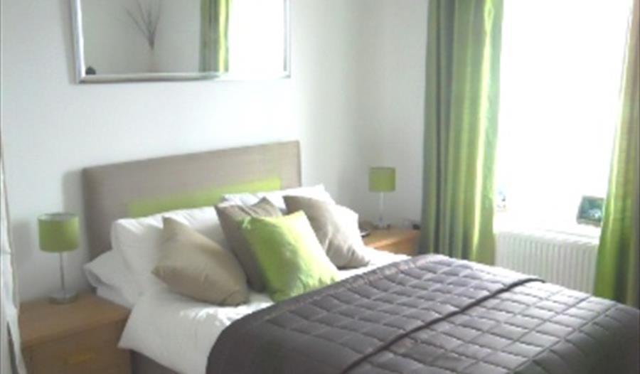


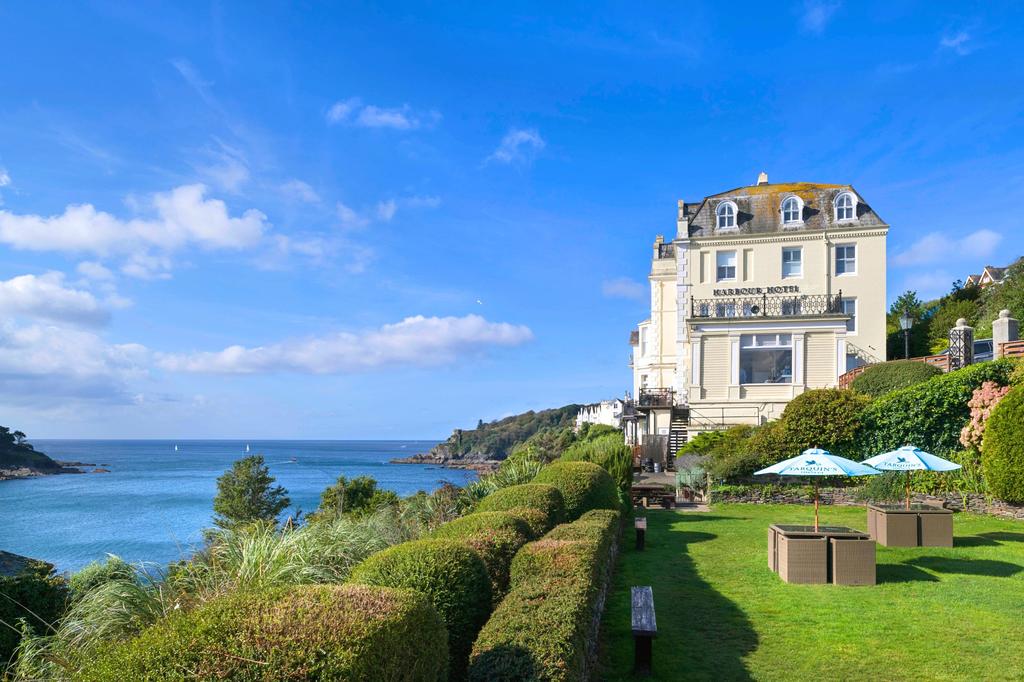
Fowey Harbour Hotel
Dating back to Victorian times, Fowey Harbour Hotel is in a superb location enjoying stunning…

A woodland and coastal walk from the village of Polruan through the ancient parish of Lanteglos.
Polruan
4.5 miles (7.2kms)
There are parts of Cornwall so encompassed by the sea that they seem genuinely out of this modern world. The sea, rather than the dual carriageway, is still their major highway. The village of Polruan on the estuary of the River Fowey is one such place. The village can be reached by land only along fairly minor roads that detour at some length from Cornwall’s main spinal highways. Yet Polruan lies only a few hundred yards across the estuary from the bustling town of Fowey, and a regular passenger ferry runs between the two.
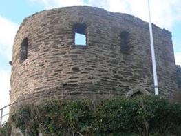
Prehistoric settlers found a natural refuge on the narrow headland on which Polruan stands. Christian ‘saints’ and medieval worshippers set up chantries and chapels in the sheltered hollows; merchants prospered from the lucrative sea trade into Fowey’s natural harbour. During the wars of the 14th and 15th centuries, Fowey ships harried foreign vessels, and because of their outstanding seamanship, earned themselves the admiring sobriquet of ‘Fowey Gallants’. The entrance to the estuary was protected from attack by a chain barrier that could be winched across the river’s mouth from blockhouses on either bank. In peacetime the Gallants continued to raid shipping of all types until Edward IV responded to complaints from foreign merchants, and several English ones, by confiscating ships and by having the protective chain removed. Resilient as always, the seamen of Fowey and Polruan turned their hands successfully to fishing and smuggling instead.
The route of this walk starts from Polruan. It wanders through peaceful countryside. At its heart lies the splendid Lanteglos Church of St Winwaloe, or St Wyllow. The second part of the walk leads back to the sea, to the steep headland of Pencarrow and to the dramatic amphitheatre of Lantic Bay. From here, the coastal footpath leads airily back to Polruan.
Walk up from the Quay at Polruan, then turn left along East Street, by a telephone box and a seat. Go right, up steps, signposted ‘Hall Walk’. Go left at the next junction, then keep along the path ahead, eventually passing a National Trust sign, ‘North Downs’.
Continue forward, eventually turning right at a T-junction with a track, then in just a few paces, bear off left along a path, signposted ‘Pont and Bodinnick’. Ignore side paths to reach a wooden gate onto a lane. Don’t go through the gate, but bear left and go through a footpath gate. Follow a path, established by the National Trust, and eventually descend steep wooden steps.
At a T-junction with a track, turn right and climb uphill. It’s worth diverting left at the T-junction to visit Pont. On the main route, reach a lane. Go left for a few paces then, on a bend by Churchtown Farm, bear off right through a gate signed ‘Footpath to Church’. Climb steadily to reach the Church of St Winwaloe.
Turn left outside the church and follow a narrow lane. At a T-junction, just beyond Lantic Bay car park, cross the road and go through a gate, then turn right along the field-edge on a path established by the National Trust, to go through another gate. Turn left along the field-edge.
At the fence corner, bear left towards a gate. Just in front of the gate, turn right onto the coast path and descend steeply. (To continue to Pencarrow Head go left through the gate and follow the path to the headland. From here the coast path can be rejoined.) Follow the coast path for about 1.25 miles (2km), keeping to the cliff edge, ignoring any junctions.
Where the cliff path ends, go through a gate to a road junction by Furze Park. Cross the road, then go down School Lane. Turn right at ‘Speakers Corner’, then turn left down Fore Street to reach the Quay at Polruan.
Good throughout but can be very muddy in woodland areas during wet weather
Deep woodland alongside tidal creek. Open coastal cliffs
Dogs on lead through grazed areas and as notices indicate
OS Explorer 107 St Austell & Liskeard
Polruan. An alternative start to the walk can be made from the National Trust Lantic Bay car park (waypoint 4, SX149513). You can also park at Fowey’s Central car park, then catch the ferry to Polruan
Polruan Quay and Bodinnick Quay
Read our tips to look after yourself and the environment when following this walk.
Cornwall has just about everything – wild moorland landscapes, glorious river valley scenery, picturesque villages and miles of breathtaking coastline. With more than 80 surfing spots, there are plenty of sporting enthusiasts who also make their way here to enjoy wave-surfing, kite surfing and blokarting.
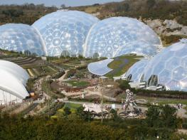
In recent years, new or restored visitor attractions have attracted even more visitors to the region; the Eden Project is famous for its giant geodesic domes housing exotic plants from different parts of the globe, while nearby the Lost Gardens of Heligan has impressive kitchen gardens and a wildlife hide.
Discover more than 15,000 professionally rated places to stay, eat and visit from across the UK and Ireland.
Choose a place to stay safe in the knowledge that it has been expertly assessed by trained assessors.
Search by location or the type of place you're visiting to find your next ideal holiday experience.
Read our articles, city guides and recommended things to do for inspiration. We're here to help you explore the UK.