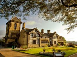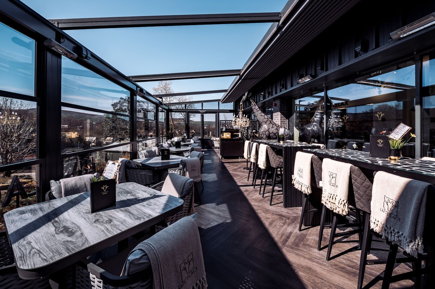


Manor House Lindley
A number of years ago the owners of Manor House transformed it from a derelict property by…

Slaithwaite
7 miles (11.3kms)
Transport across the Pennine watershed has always presented problems. The Leeds and Liverpool Canal, built during the 1770s, took a convoluted route across the Pennines, through the Aire Gap at Skipton. Then came the Rochdale Canal. However, its more direct route came at a high price: mile for mile, this canal has more locks than any other inland waterway in the country. With the increase in trade between Yorkshire and Lancashire, a third route across the Pennines was soon needed. The Huddersfield Narrow Canal links Huddersfield with Ashton-under-Lyne in Greater Manchester. Though only 20 miles (32.2km) long, it includes the Standedge Tunnel. Begun in 1794, and dug with pick, shovel and dynamite, the canal was finally opened to traffic in 1811.
The Colne Valley, to the west of Huddersfield, is representative of industrial West Yorkshire. Towns with evocative names – Milnsbridge, Linthwaite, Slaithwaite and Marsden – are threaded along the River Colne like beads on a string. In the 18th century this was a landscape of scattered farms and hand-loom weavers, mostly situated on the higher ground. As with Calderdale, a few miles to the north, the deep-cut valley of the Colne was transformed by the Industrial Revolution. Once the textile processes began to be mechanised, mills were built in the valley bottom. They specialised in the production of fine worsted cloth. The River Colne provided the power for the first mills, and the canal subsequently improved the transport links.
The mills grew larger as water power gave way to steam, towering over the rows of terraced houses built in their shadows. Throughout this walk you can see the mill chimneys and the sawtooth roof-lines of the weaving sheds, though some mills are in ruins and others are now given over to other trades. Slaithwaite (often pronounced ’Slowitt’) is typical of the textile towns in the Colne Valley. It looks to be an unlikely spa town, but that’s what it became in the 1820s, albeit briefly, when its mineral springs were compared favourably with those of Harrogate. Now, with the canal restored, Slaithwaite is finding another new lease of life and you’ll find a range of independent shops and cafés when you visit.
Begin along Britannia Road, turning right on to the A62 and crossing to continue up Varley Road. Beyond the last house, go through a squeeze gap on the right and climb to a field. Swinging right and left, follow an indistinct path to a stile on the opposite side. Carry on beside the right-hand wall, crossing through a gate to a tarmac lane. Follow it right and left to a crossroads. Take the track opposite, bearing left after 20yds (18m) on to another track between houses. Go over a stile at the end, keep ahead at the edge of successive fields, crossing more stiles and eventually leaving beside a house on to a tarmac lane.
Go briefly right before turning left along a track that ultimately leads to a farm. Walk forwards past the front of a cottage (through the garden), passing through a dilapidated gate into a field corner. Carry on ahead, negotiating gates either side of a beck at the far side and passing an abandoned farmstead to a walled path. Where the path shortly veers right, take the gate ahead into a field. Follow the right wall, bearing slightly left beyond its end to slant up across rough pastures. Go over a stile and keep forwards, continuing on to reach a walled path. Climb left to another stile, then turn right down to a bend. Scaling a wall stile on the left, walk away at the bottom edge of fields to a kissing gate. Continue through a plantation, swinging left at the far side along a path up to the B6107.
Walk right for 75yds (69m), then take a track off to the left. Continue past a house and through a gate, shortly reaching a fork. Keep ahead on the right branch. Cross a beck and fork left uphill; the way narrows to a path. At a junction turn right to pass below old quarries on the shoulder of Hard Hill. Climb to a kissing gate, then drop to a bridge beside a stone aqueduct. After rising to a memorial bench, the way levels and Butterley Reservoir comes into view. Beyond another kissing gate by a small stone building, climb left to a stile, carrying on over a second stile and out on to a metalled track. Follow it down to a tarmac lane.
Continue downhill, eventually passing terraced houses dwarfed by Bank Bottom Mills. Keep straight ahead at a roundabout along Fall Lane, bearing left before the end to pass beneath the main road. Keep left over a bridge and then right past the church. At the end go left up Station Road.
Join the Huddersfield Narrow Canal towpath opposite The Railway pub. Follow it right, dropping past the first of many locks, for a pleasant 3-mile (4.8km) walk back to Slaithwaite.
Field paths, good tracks and canal tow path, many stiles
Typical South Pennine rough pastures, canalside
Towpath is especially good for dogs
OS Explorer OL21 South Pennines
Plenty of street parking in Slaithwaite, free car park near the library
Marsden
Read our tips to look after yourself and the environment when following this walk.
Everybody knows that Yorkshire has some special landscapes. The Dales and the Moors first spring to mind, but what about West Yorkshire? That’s Leeds and Bradford isn’t it? Back-to-back houses and blackened mills… Certainly if you had stood on any of the hills surrounding Hebden Bridge a hundred years ago, and gazed down into the valley, all you would have seen was the pall of smoke issuing from the chimneys of 33 textile mills. But thankfully, life changes very quickly in West Yorkshire. The textile trade went into terminal decline, the mills shut down forever and in a single generation Hebden Bridge became a place that people want to visit.
The surrounding countryside offers walking every bit as good as the more celebrated Yorkshire Dales; within minutes you can be tramping across the moors. And this close proximity of town and country is repeated all across West Yorkshire. There’s such diversity in the area that you can find yourself in quite unfamiliar surroundings, even close to places you may know very well. Take time to explore this rich county and you will be thrilled at what you find to shatter old myths and preconceptions.
Discover more than 15,000 professionally rated places to stay, eat and visit from across the UK and Ireland.
Choose a place to stay safe in the knowledge that it has been expertly assessed by trained assessors.
Search by location or the type of place you're visiting to find your next ideal holiday experience.
Read our articles, city guides and recommended things to do for inspiration. We're here to help you explore the UK.