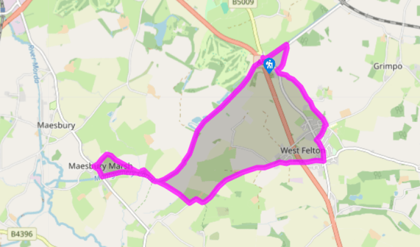
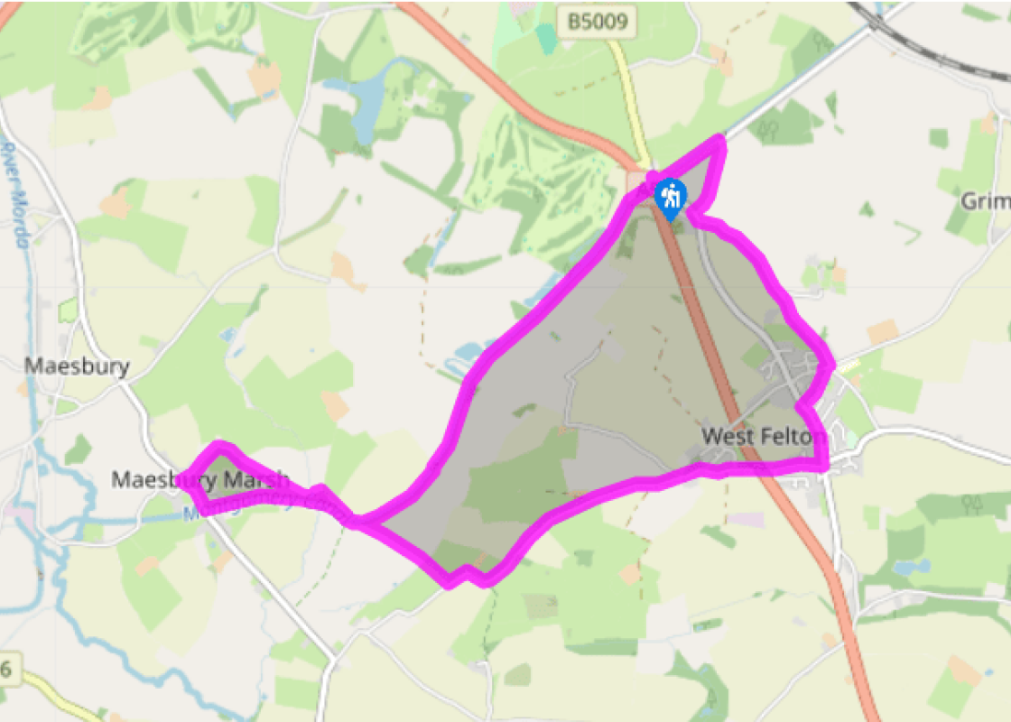
Leave the car park, cross the bridge, join the towpath on the far side of the canal and head northeast, away from the A5. Within a few minutes you will approach Bridge 75. About 50yds (46m) before it, look for a gap in the hedge across the road. Bear right across a narrow, damp meadow to a stile, then continue, heading over a rise and down the other side. Pass through a gappy hawthorn hedge, then continue in the same direction to a gate in the corner of a field. Turn right along a tractor track to the road.
Turn left, then left again, signposted ‘Twyford’. Ignore the Twyford turn a little further on and instead continue to a crossroads (Bishop’s Corner). Turn right on School Road, then immediately left on a grassy path called Hicksons Lane.
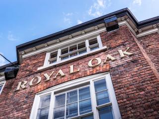
Turn left on Old Holyhead Road, then take the third right onto Fox Lane, soon crossing the main A5 road on a footbridge. Go straight on through West Felton, then turn left onto Woolston Road. Continue along Woolston Road, past the
church, for about a mile (1.5km).
After an obvious double bend and just before a small cottage, cross a stile on the right. Follow the line of the garden hedge, straight across the field to a footbridge and two stiles. Cross the boggy corner of the next field and continue straight on to a wobbly stile giving access to the canal towpath. Turn left, soon passing under a small bridge (No. 78) continue for 0.5miles (800m).
Cross Bridge 79 at Maesbury Marsh, and walk through the village. Take the first turn right along Waen Lane. This becomes a stony track at a cattle grid. A few paces further on, leave the bridleway at a gate on the right (footpath waymark). Head diagonally across a large field to the furthest corner.
Cross a footbridge and continue over the next field, then across a stile to join a bridleway. Keep straight on, passing to the left of a house and along field edges until an unsigned but trodden path goes right, to cross the canal at the small bridge (No. 78) you passed under earlier (see Point 4). Descend some steps on the right and go under the bridge to join the towpath. Follow it back heading northeast to Queen’s Head.
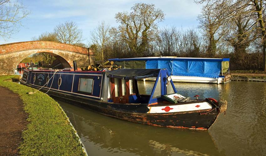
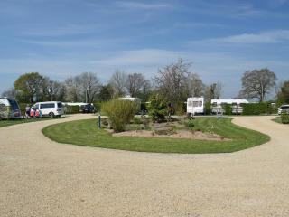
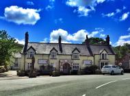
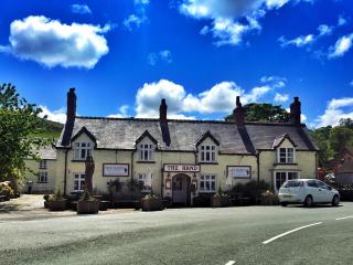
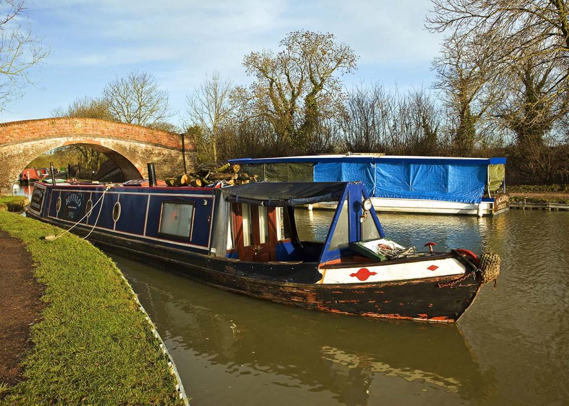
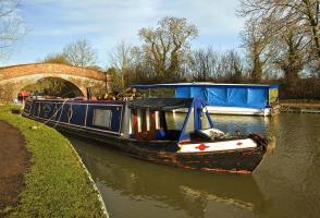
Comedians sometimes joke about the bizarre British propensity for grim roadside picnics, but an official picnic site has been provided, ear-shatteringly sandwiched between Holyhead Road and the A5 Oswestry bypass. But despite this testament to poor imagination, at least the Queen’s Head is a... convenient place to begin this delightful walk along the Montgomery Canal. This walk explores a restored section of the Monty, so it’s worth saying a few words about the restoration work, which was started by the Shropshire Union Canal Society in 1968. One of the remarkable things is that most of the work has been done by volunteers. The Welshpool stretch was the first to benefit, followed by the locks at Carreghofa (near Llanymynech), while the Inland Waterways Association’s Waterway Recovery Group restored the four locks at Frankton Junction, with the aid of volunteer groups from all over the country. Frankton Locks reopened in 1987. Since then, restoration has continued apace. South of Frankton, a new lock and aqueduct had to be built, but by 1996 the canal was open all the way from Frankton to Queen’s Head, where a new bridge was also required. South of Queen’s Head, volunteers restored Aston Locks and developed a nature reserve, on the opposite bank to the towpath, as some small compensation for the valuable wildlife habitat that is lost when an overgrown canal is restored. The seven-acre Aston Lock nature reserve is now designated as a Site of Special Scientific Interest (SSSI) and included in this wetland area is a number of rare aquatic plants and different species of dragonflies. The section south of Queen’s Head was reopened in the late 1990s and a highlight of this stretch is Maesbury Marsh, the best surviving canal village on the Monty. It’s hard to imagine that this quiet place was once a busy port, but it was the nearest wharf to Oswestry, so trade was brisk. There used to be a factory, warehouse, coal and grain stores and flour mill, as well as workshops and offices. Most of the buildings remain, though converted to other uses.
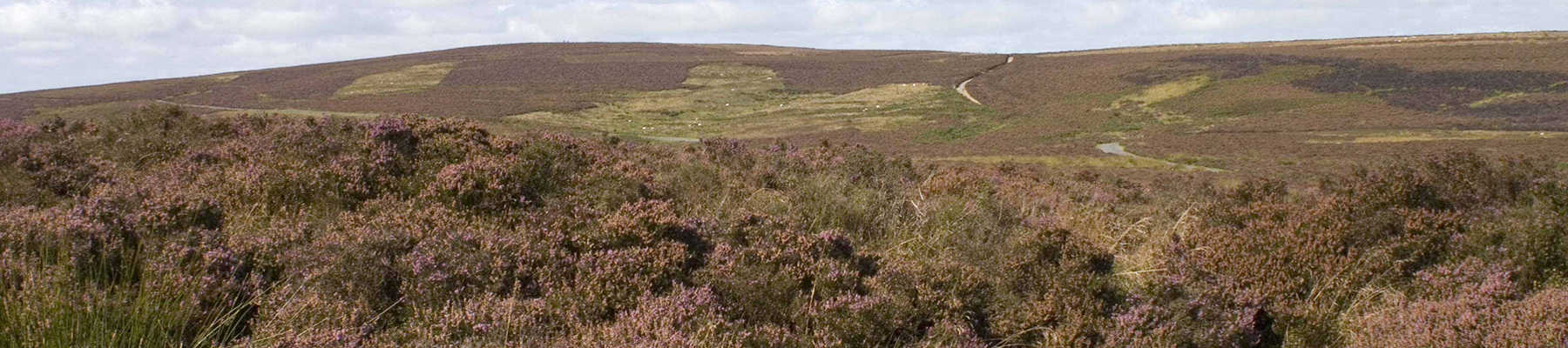
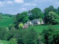
Perhaps nowhere else in England will you find a county so deeply rural and with so much variety as Shropshire. Choose a clear day, climb to the top of The Wrekin, and look down on that ‘land of lost content’ so wistfully evoked by A E Housman.
Leave the car park, cross the bridge, join the towpath on the far side of the canal and head northeast, away from the A5. Within a few minutes you will approach Bridge 75. About 50yds (46m) before it, look for a gap in the hedge across the road. Bear right across a narrow, damp meadow to a stile, then continue, heading over a rise and down the other side. Pass through a gappy hawthorn hedge, then continue in the same direction to a gate in the corner of a field. Turn right along a tractor track to the road.
1 of 5
Turn left, then left again, signposted ‘Twyford’. Ignore the Twyford turn a little further on and instead continue to a crossroads (Bishop’s Corner). Turn right on School Road, then immediately left on a grassy path called Hicksons Lane.
2 of 5
Turn left on Old Holyhead Road, then take the third right onto Fox Lane, soon crossing the main A5 road on a footbridge. Go straight on through West Felton, then turn left onto Woolston Road. Continue along Woolston Road, past the
church, for about a mile (1.5km).
After an obvious double bend and just before a small cottage, cross a stile on the right. Follow the line of the garden hedge, straight across the field to a footbridge and two stiles. Cross the boggy corner of the next field and continue straight on to a wobbly stile giving access to the canal towpath. Turn left, soon passing under a small bridge (No. 78) continue for 0.5miles (800m).
3 of 5
Cross Bridge 79 at Maesbury Marsh, and walk through the village. Take the first turn right along Waen Lane. This becomes a stony track at a cattle grid. A few paces further on, leave the bridleway at a gate on the right (footpath waymark). Head diagonally across a large field to the furthest corner.
4 of 5
Cross a footbridge and continue over the next field, then across a stile to join a bridleway. Keep straight on, passing to the left of a house and along field edges until an unsigned but trodden path goes right, to cross the canal at the small bridge (No. 78) you passed under earlier (see Point 4). Descend some steps on the right and go under the bridge to join the towpath. Follow it back heading northeast to Queen’s Head.
Comedians sometimes joke about the bizarre British propensity for grim roadside picnics, but an official picnic site has been provided, ear-shatteringly sandwiched between Holyhead Road and the A5 Oswestry bypass. But despite this testament to poor imagination, at least the Queen’s Head is a... convenient place to begin this delightful walk along the Montgomery Canal. This walk explores a restored section of the Monty, so it’s worth saying a few words about the restoration work, which was started by the Shropshire Union Canal Society in 1968. One of the remarkable things is that most of the work has been done by volunteers. The Welshpool stretch was the first to benefit, followed by the locks at Carreghofa (near Llanymynech), while the Inland Waterways Association’s Waterway Recovery Group restored the four locks at Frankton Junction, with the aid of volunteer groups from all over the country. Frankton Locks reopened in 1987. Since then, restoration has continued apace. South of Frankton, a new lock and aqueduct had to be built, but by 1996 the canal was open all the way from Frankton to Queen’s Head, where a new bridge was also required. South of Queen’s Head, volunteers restored Aston Locks and developed a nature reserve, on the opposite bank to the towpath, as some small compensation for the valuable wildlife habitat that is lost when an overgrown canal is restored. The seven-acre Aston Lock nature reserve is now designated as a Site of Special Scientific Interest (SSSI) and included in this wetland area is a number of rare aquatic plants and different species of dragonflies. The section south of Queen’s Head was reopened in the late 1990s and a highlight of this stretch is Maesbury Marsh, the best surviving canal village on the Monty. It’s hard to imagine that this quiet place was once a busy port, but it was the nearest wharf to Oswestry, so trade was brisk. There used to be a factory, warehouse, coal and grain stores and flour mill, as well as workshops and offices. Most of the buildings remain, though converted to other uses.
Perhaps nowhere else in England will you find a county so deeply rural and with so much variety as Shropshire. Choose a clear day, climb to the top of The Wrekin, and look down on that ‘land of lost content’ so wistfully evoked by A E Housman.