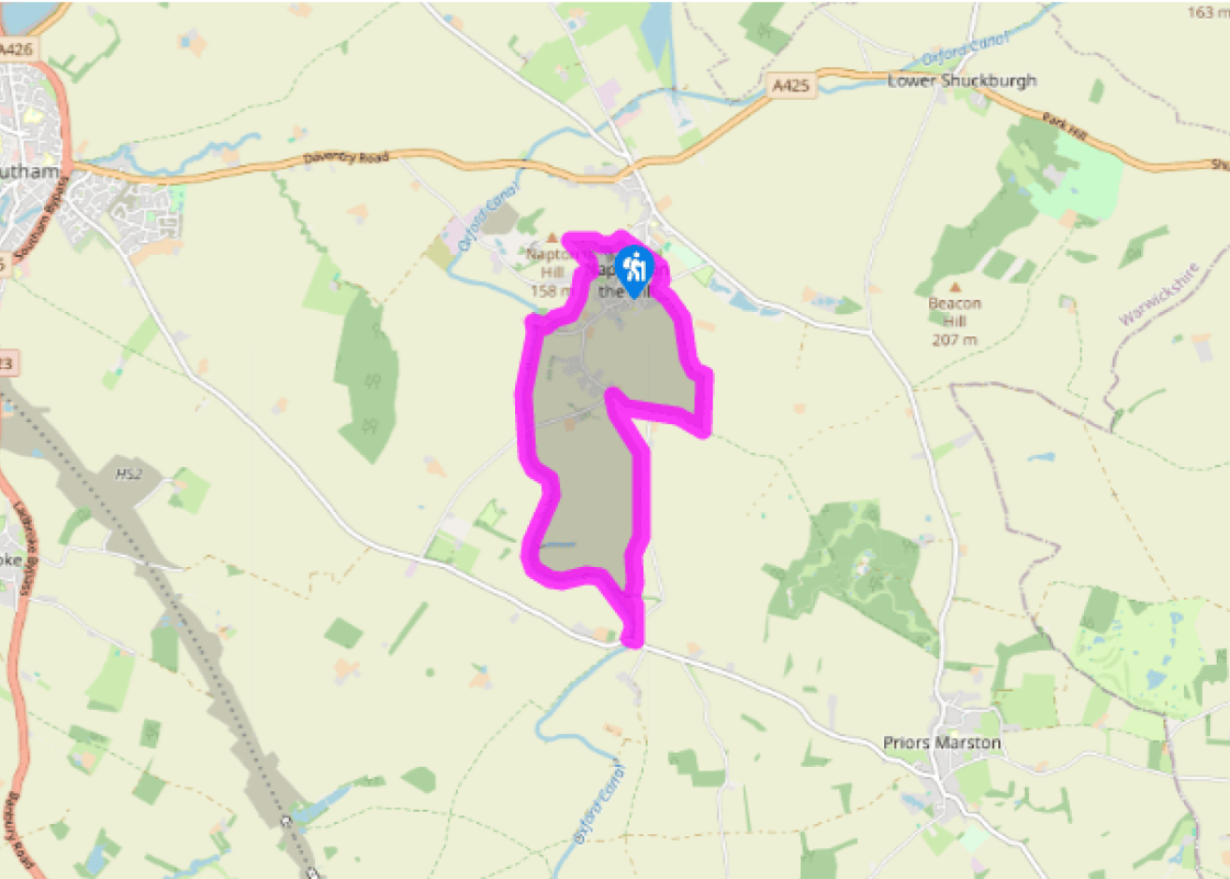
Along the Oxford Canal
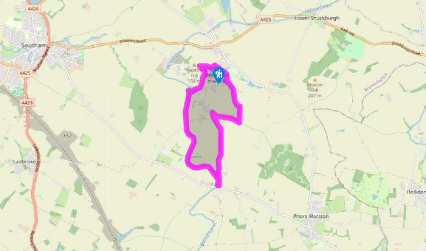
With your back to the church, walk along the access lane and turn right by a dog waste bin to follow the path. Descend to Vicarage Road and head right along Hackwell Street. Turn left down Godsons Lane and at the second road junction go right along Dog Lane, then almost immediately left along a waymarked bridleway between houses, heading away from Napton in a southeast direction.
Continue on the track for about 350 yards (320m), then ahead, passing through a series of farm gates. After the third one, go left alongside the hedge, through another field gate, then sharp right alongside a hedge to a gate. Cross the next field to a gate at a grass track and go right (enjoy the fine retrospective view of Napton on the Hill). Reach a final farm gate to the right of farm buildings. Go ahead along the road, following the Millennium Way.

Been on this walk?
Send us photos or a comment about this route. Or recommend a route of your own.

Walking in Safety
Read our tips to look after yourself and the environment when following this walk.

Get an AA guide
Explore our range of ‘50 Walks in’ guides - they’re the ideal companion for a ramble.
Been on this walk?
Send us photos or a comment about this route. Or recommend a route of your own.
Walking in Safety
Read our tips to look after yourself and the environment when following this walk.
Get an AA guide
Explore our range of ‘50 Walks in’ guides - they’re the ideal companion for a ramble.
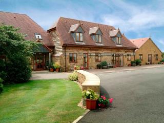
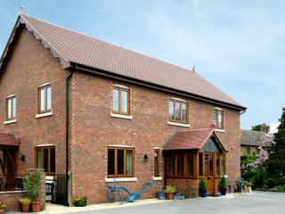
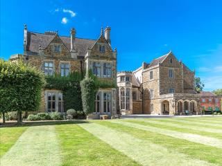
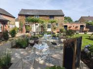
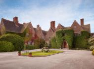
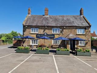
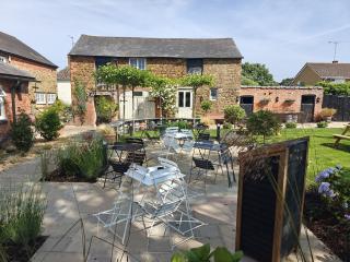
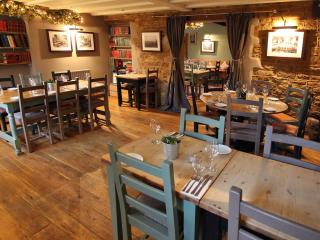
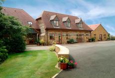
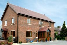
Nearby places to stay
View all (8)