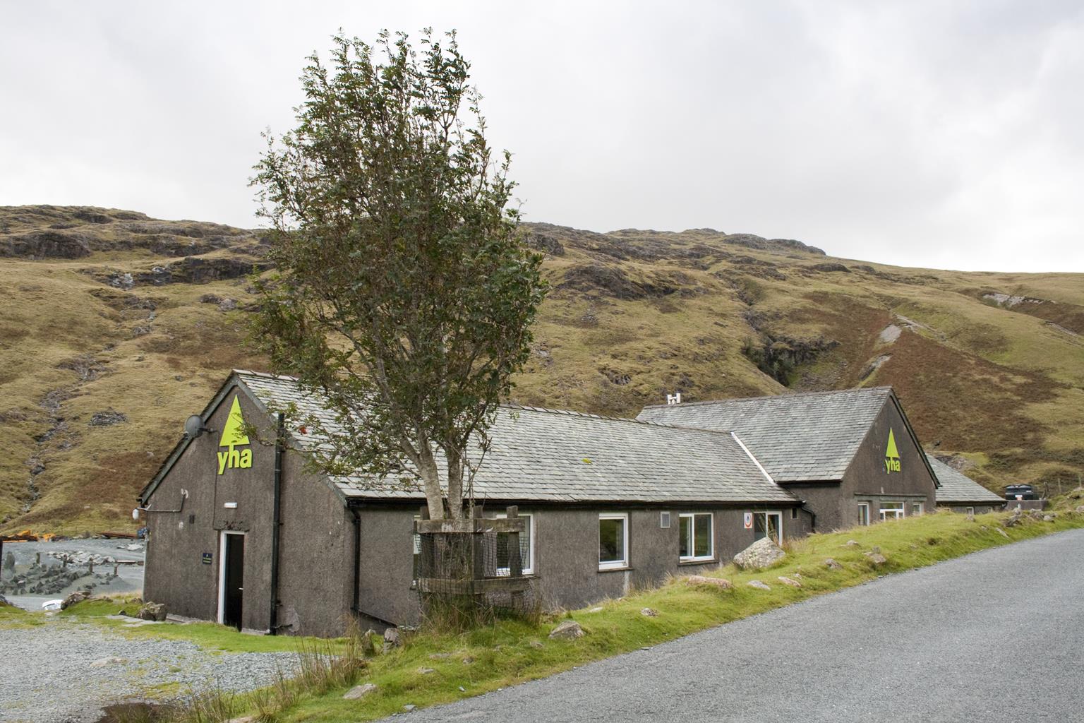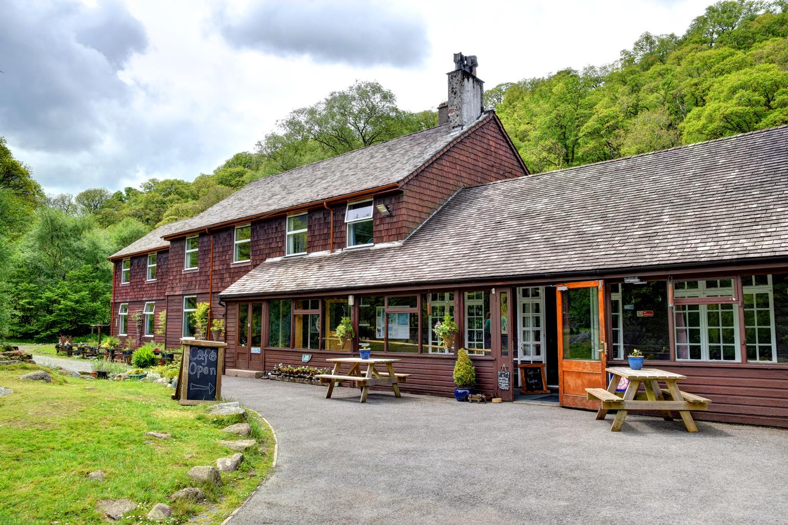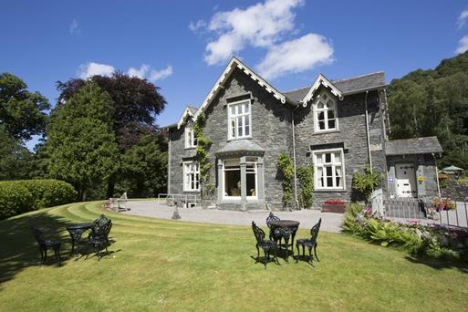


Ghyllside
At the foot of the Honister Pass, in the heart of the walkers’ paradise of Borrowdale Valley,…

From Seathwaite to the high mountain pass of Sty Head.
Seathwaite
5.75 miles (9.2kms)
Seathwaite has long been a gateway to the high fells of Lakeland, including Glaramara, Great Gable, and the highest of them all, Scafell Pike. Routes from here also lead to the valleys of Wasdale and Great Langdale. This walk is a great introduction to the delights and fascination of the high fells. While it doesn’t top any of the surrounding heights, it does rise to an altitude of some 2,050ft (625m) among some breathtaking mountain scenery, including the famous tarns of Styhead and Sprinkling. The walk is technically straightforward, but because of the altitude and the rapidly changing weather conditions you are likely to encounter in the Lakeland fells, everyone undertaking this round should be equipped for mountain walking.
Once an important packhorse route, this ancient highway, known as Styhead Pass, linked Borrowdale to Wasdale – from the heart of mountain Lakeland to the west coast. Along its length travelled illicit wad (a source of locally mined graphite) and whisky to be exchanged for brandy and spices at Whitehaven and Maryport. Sty Head is a famous mountain crossroads; as well as to Wasdale, routes from here lead up to Scafell Pike, Great Gable and Esk Hause. The rescue box contains a stretcher and first aid equipment. It has proved to be a lifesaver on more than one occasion. In extreme weather, those caught out in these hills have been known to crawl inside to seek shelter.
Although Sprinkling Tarn is at an altitude of some 1,970ft (600m), during the summer months its dark surface is often ringed by brown trout jumping for flies. It lies directly below the cliffs of Great End. These have little attraction for rock-climbers but are a great lure for winter ice-climbing. The unmistakable Central Gully is a classic route, but when westerlies blow snow off the summit plateau, great accumulations of snow form at its head. As volumes increase the snow becomes unstable and avalanches sweep down the gully. Many an unwary mountaineer has been avalanched out of this gully. Incredibly, fatalities are rare and the victims usually escape with broken limbs or just cuts and bruises.
Pass through the cobbled farmyard and continue along the rough stony track up the valley. A few rises and dips among steep mounds (glacial moraines) lead to the ancient stone arch of Stockley Bridge, which spans Grains Gill. Cross the bridge, go through a gate and follow the track (in places reconstructed with pitched stone) up the hillside to a second gate.
Above the wall the way bears right, ascending to skirt the edge of the woods above the ravine of Taylorgill Force. A fence protects the edge and, although the great waterfall is hidden below, it is usually possible to hear its roar. Beyond this point the track follows a line just above the beck to reveal a series of little tumbling falls, rock slides and pools. Gradually the gradient eases off.
Beyond an area of rough stones and boulders, a small wooden footbridge crosses the beck. Take the bridge and continue a few hundred paces to Styhead Tarn. If conditions are favourable this is a good place to take a break and eat your sandwiches.
Traverse above the shore of the tarn then ascend to the mountain rescue box at the rough rocky col of Sty Head. Turn left (east) and follow the stony path uphill, keeping left at a fork in the route. Stay with the main track, ascending to reach the edge of the teardrop known as Sprinkling Tarn.
Keep along the track to pass beneath the dark and foreboding cliffs of Great End. At the halfway point beneath this, you meet the stream of Ruddy Gill tumbling towards you and then swinging off north (to your left). Above this point a great gully, Central Gully, cuts directly up the cliff.
Continue a few paces then drop down to cross the stream at large stepping stones. (In the – very rare – event that these are covered by flood water, it is strongly recommended to return the way you came, via Sty Head). Having crossed the stream, follow the path down the true right bank of Ruddy Gill (leading to Grains Gill). Once very badly eroded, this path has now been rebuilt using pitched blocks of rock. Although the descent is steep, and rather hard on the knees, the path is clearly defined: a tremendous achievement by the path-builders. However, there are still a couple of places where it narrows above a steep drop, so take care.
Continue more easily until a small footbridge leads across Grains Gill. The path leads eventually down to the gate above Stockley Bridge. Cross again here and head back to Seathwaite Farm.
Stony paths and tracks; care needed on descent
Rugged and mountainous, with two high tarns
Good for fit, active dogs; under strict control near sheep
OS Explorer OL4 & OL6 The English Lakes (NW) and (SW)
By roadside below farm
At Seathwaite Farm
Read our tips to look after yourself and the environment when following this walk.
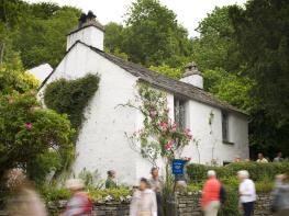
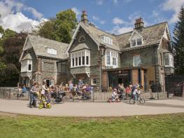
Cumbria's rugged yet beautiful landscape is best known for the Lake District National Park that sits within its boundaries. It’s famous for Lake Windermere, England’s largest lake, and Derwent Water, ‘Queen of the English Lakes'. This beautiful countryside once inspired William Wordsworth and his home, Dove Cottage, in Grasmere is a popular museum. Another place of literary pilgrimage is Hill Top, home of Beatrix Potter, located near Windermere. Tom Kitten, Samuel Whiskers and Jemima Puddleduck were all created here.
Much of Cumbria is often overlooked in favour of the Lake Distirct. In the south, the Lune Valley remains as lovely as it was when Turner painted it. The coast is also a secret gem. With its wide cobbled streets, spacious green and views of the Solway Firth, Silloth is a fine Victorian seaside resort. Other towns along this coastline include Whitehaven, Workington and Maryport. Carlisle is well worth a look – once a Roman camp, its red-brick cathedral dates back to the early 12th century and its 11th-century castle was built by William Rufus.
Discover more than 15,000 professionally rated places to stay, eat and visit from across the UK and Ireland.
Choose a place to stay safe in the knowledge that it has been expertly assessed by trained assessors.
Search by location or the type of place you're visiting to find your next ideal holiday experience.
Read our articles, city guides and recommended things to do for inspiration. We're here to help you explore the UK.