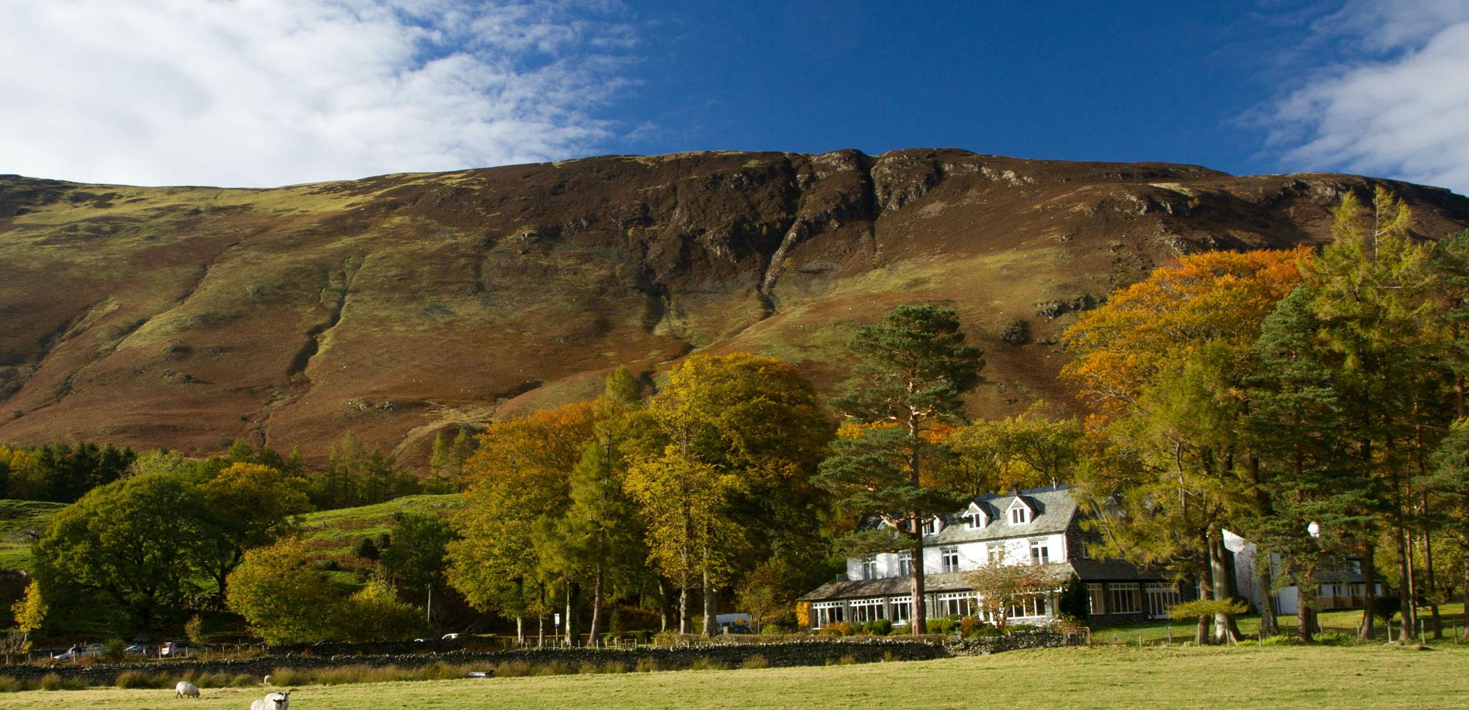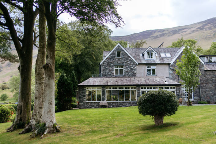
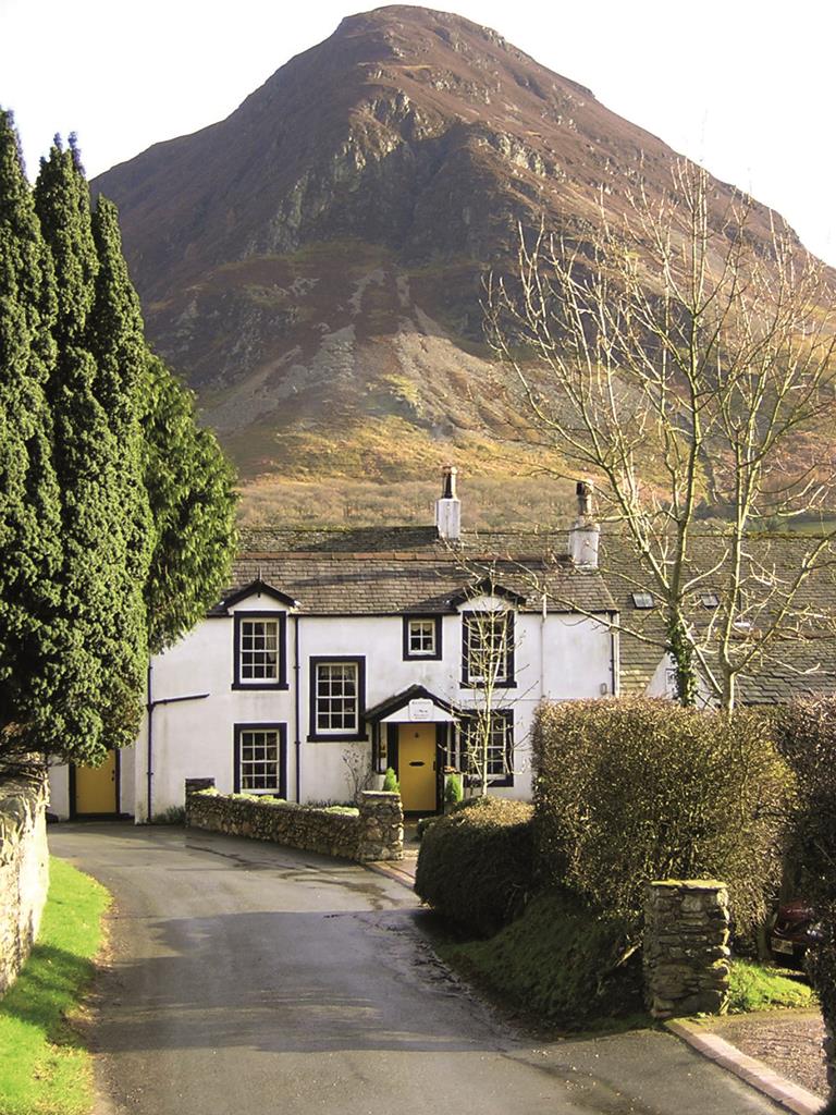

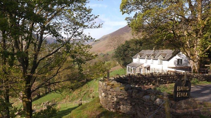
Bawd Hall
Bawd Hall is a luxury country house in the Newlands Valley, enjoying beautiful views over nearby…

Try and imagine the Lakeland fells as they were before people arrived.
Ard Crags
5.1 miles (8.2kms)
On this walk you can enjoy views of craggy fells and fine ridges. The landscape is very open, with gentle fields giving way to steeper slopes covered in bracken and heather. It’s tempting to believe that the Lake District was always like this – bare, barren and wild. In fact, the natural state of the Lakeland fells, if humans had never set foot there or brought grazing livestock into the area, would be quite different. The climax vegetation would be deciduous forest, comprising oak and birch on most slopes, with alder in the boggy lowlands and rowan in the rocky clefts, leaving only the summits of the fells rising bare above the trees. If it’s hard to imagine what this kind of forest cover would look like, then study the patchy oak woods on the steep southern slopes of Ard Crags and Causey Pike. Short, gnarled oaks in these locations are thought to represent the last remaining indigenous Lakeland forests. They are sessile oaks, meaning that the acorn cups sit on the twigs, rather than pedunculate oaks, where the acorn cups are on stalks (like the The National Trust logo).
Centuries of sheep grazing has led to the Lake District’s current appearance; a process accelerated when distant monasteries encouraged large-scale grazing from the 12th century. Constant nibbling prevents woodland cover from regenerating, so that established trees simply get older and eventually die. The seeds can find no safe place to germinate unless protected from livestock and rabbits. Holly, hawthorn, gorse and bramble survive simply because they are so prickly, and many fine specimens of gorse can still be seen even on the sheep-grazed slopes on this walk. The open landscape allows walkers to enjoy the glorious views, the fell paths, unchoked by rampant vegetation and, in the case of Ard Crags, the purple flush of heather in high summer. Ard Crags, surrounded by plenty of loftier summits, isn’t a particularly high fell, but you can see the highest Lakeland fells, including the Scafells, Helvellyn and Skiddaw, as well as groups of fells around Ennerdale, Buttermere, Wasdale and Langdale.
Leave the quarry car park at Rigg Beck and turn right along the road, rising gently past farms and fields. Pass Birkrigg Farm and Newlands Fell, Gillbrow Farm and Bawd Hall. The road descends gently across a more rugged fellside and reaches a sharply pronounced bend crossing the beck of Ill Gill. A steep slope covered in ancient sessile oaks rises to your right. Continue on the road for 350yds (320m) beyond Keskadale Farm.
Just after the fence up to the right ends, you’ll see a tiny layby on the right. A faint trail heads sharp right from here – almost back on yourself – back towards the fence. You could now climb beside the fence to find the path on to the ridge, but it’s easier to use the zig-zagging route that heads left from the fence corner before switching back to the right, after 100yds (91m), to return to the fence. Head uphill beside the fence for 250yds (229m), the sunken trail obscured by bracken in the summer. You’ll then see a gap in the bracken on the left. This marks the start of the path on to the ridge.
Don’t be lured by a path to the left; stay parallel with a fence over to the right in the lower stages of the climb. The path is narrow as it ascends a steep slope, and there are some stony patches. Higher up the ground is boggy and the path is indistinct. After passing between two tiny fenced areas, it disappears completely. Look to the west now to spot a gentle, rounded summit and aim for it. This is Knott Rigg, 1,824ft (556m) high, surrounded by higher fells.
A clear path heads roughly northeast along the hummocky ridge. Mosses, sedges and rushes indicate wet ground. The path drops to a gap, then climbs uphill slightly to the right of the ridge. The ground cover is now heather, indicating drier ground. Gullies fall away to the right, then the summit cairn on Ard Crags is reached – at 1,906ft (581m), the high point of this walk.
Walking along the heathery ridge is like walking on top of the world, with a fine view over the Vale of Newlands. Bilberry and crowberry grow among the heather, providing an autumn feed for birds or passing walkers. The descent is in two stages, dropping first to a heathery bump, and then dropping more steeply past outcrops of rock
Heather gives way to bracken as the gradient eases, then the path runs level onto a blunt, grassy ridge. Bear left at a fork in the path to descend to Rigg Beck stream and ford it. If a narrower crossing point is needed, look a short way upstream.
Climb up from Rigg Beck and join a clear path, turning right to follow it down the valley. The slopes are covered in bracken with occasional clumps of gorse. The path leads back to the car park.
Road, narrow fell paths, some indistinct
Heathery ridge flanked by steep slopes
On lead on road and on fell
OS Explorer OL4 The English Lakes (NW)
Small car park in old roadside quarry at Rigg Beck
None on route
Read our tips to look after yourself and the environment when following this walk.
Cumbria's rugged yet beautiful landscape is best known for the Lake District National Park that sits within its boundaries. It’s famous for Lake Windermere, England’s largest lake, and Derwent Water, ‘Queen of the English Lakes'. This beautiful countryside once inspired William Wordsworth and his home, Dove Cottage, in Grasmere is a popular museum. Another place of literary pilgrimage is Hill Top, home of Beatrix Potter, located near Windermere. Tom Kitten, Samuel Whiskers and Jemima Puddleduck were all created here.
Much of Cumbria is often overlooked in favour of the Lake Distirct. In the south, the Lune Valley remains as lovely as it was when Turner painted it. The coast is also a secret gem. With its wide cobbled streets, spacious green and views of the Solway Firth, Silloth is a fine Victorian seaside resort. Other towns along this coastline include Whitehaven, Workington and Maryport. Carlisle is well worth a look – once a Roman camp, its red-brick cathedral dates back to the early 12th century and its 11th-century castle was built by William Rufus.
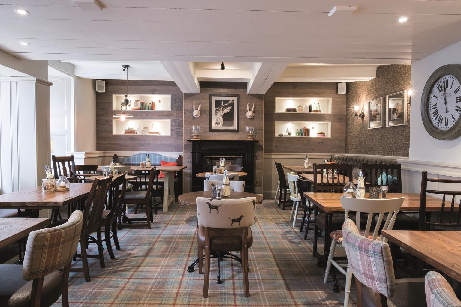
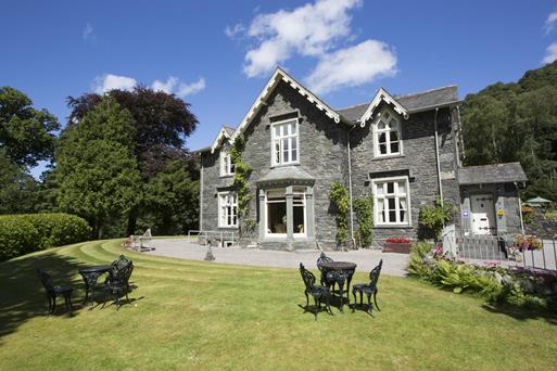
Discover more than 15,000 professionally rated places to stay, eat and visit from across the UK and Ireland.
Choose a place to stay safe in the knowledge that it has been expertly assessed by trained assessors.
Search by location or the type of place you're visiting to find your next ideal holiday experience.
Read our articles, city guides and recommended things to do for inspiration. We're here to help you explore the UK.