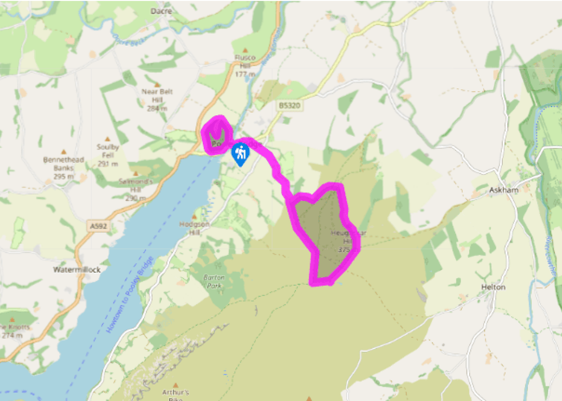
Ancient sites above Pooley Bridge
Recommended by

"Cross a Roman road and take in prehistoric artefacts, including an Iron Age fort"
Walk directions
From the car park entrance, go through the gate on the right and then immediately bear right to follow the ascending path.
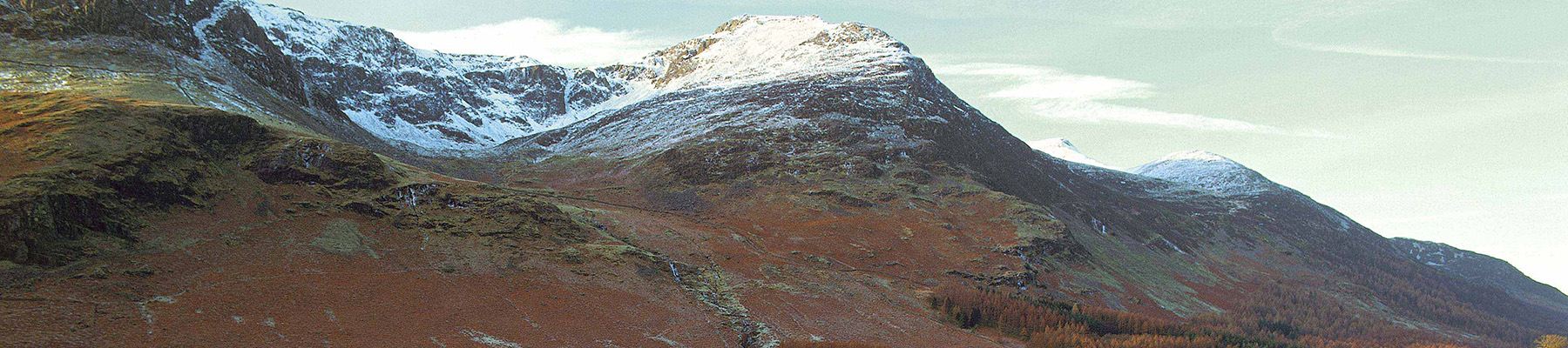
Where a public footpath signed ‘Dacre’ cuts off down to the right, a worn muddy path climbs the bank to the left. This path leads steeply up the wooded slopes of Dunmallard Hill before levelling off slightly. A final section of steep bank leads over the earth ramparts of the fort and onto the tree-clad summit area. Nearing the highest point, keep left at a fork. Gaps in the foliage show how impressive a viewpoint this would be if the trees were thinned.
View all directions
Additional information
Terrain
- Surfaced roads, stony tracks, grassy tracks, open hillside and woodland trails
Landscape
- Village, dale, open fell and woodland
Dog friendliness
- Under strict control as sheep and ponies roam open fell
Parking
- Dunmallard car park on western edge of Pooley Bridge
Toilets en route
- Pooley Bridge village centre
About the walk
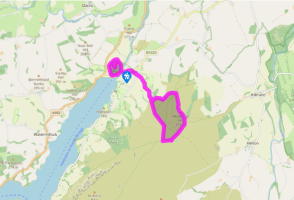
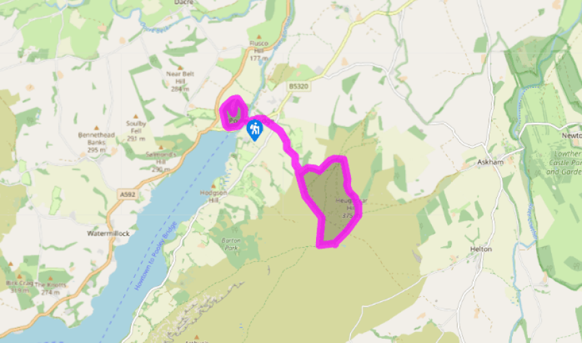
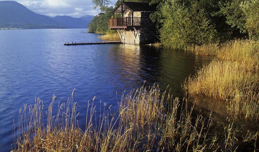
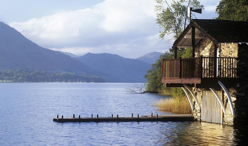
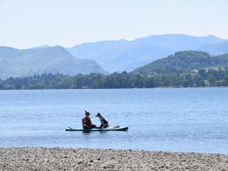
This figure-of-eight walk first climbs a small hill topped by an Iron Age hill-fort before heading on to the open, grassy fellside above Pooley Bridge. It offers extensive views west over Ullswater, north across the stone buildings of Pooley Bridge and east to the Eden Valley and the hills of the...
Read more

Been on this walk?
Send us photos or a comment about this route. Or recommend a route of your own.

Walking in Safety
Read our tips to look after yourself and the environment when following this walk.

Get an AA guide
Explore our range of ‘50 Walks in’ guides - they’re the ideal companion for a ramble.
Been on this walk?
Send us photos or a comment about this route. Or recommend a route of your own.
Walking in Safety
Read our tips to look after yourself and the environment when following this walk.
Get an AA guide
Explore our range of ‘50 Walks in’ guides - they’re the ideal companion for a ramble.
About the area
Cumbria's rugged yet beautiful landscape is best known for the Lake District National Park that sits within its boundaries. It’s famous for Lake Windermere, England’s largest lake, and Derwent Water, ‘Queen of the English Lakes', but other lesser-known areas in the south, such as the Lune Valley and the coastal towns, are secret gems of wide cobbled streets and rolling hills.
Nearby places to stay
View all (8)


Nearby places to stay
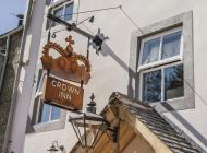
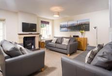
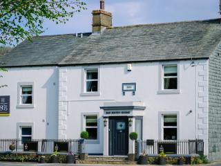
The Crown Inn
The Crown Inn is part of The House of Daniel Thwaites, situated by the river in the bustling, seasonally popular village of Pooley Bridge at the head of Ullswater. With stunning views a...
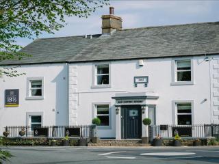
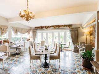
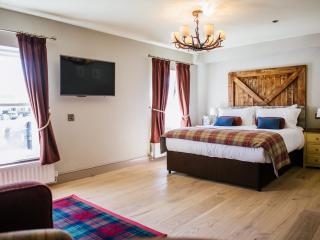
1863 Restaurant with Rooms
1863 Restaurant with Rooms is located in the heart of Pooley Bridge and offers high-quality accommodation as well as skilfully prepared meals. The contemporary dining room is a small op...
Waterfoot Park
Waterfoot Park is in the Ullswater valley within the Lake District National Park, a UNESCO World Heritage Site. It is the perfect location for touring, self-catering and glamping holida...

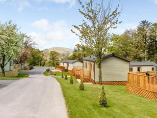
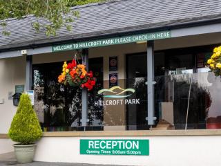
Hillcroft Park
Hillcroft Park is set in the Ullswater Valley above the pretty lakeside village of Pooley Bridge. There are luxury lodges and holiday homes to rent plus two fully equipped, year-round s...
Hillcroft Park
Hillcroft Park has fully-equipped cottages located at the entrance to the site. On-site facilities include a small shop, children's playground and reception area. The units have their o...
Hillcroft Park
Family owned Hillcroft Park is set in the Ullswater Valley above the pretty lakeside village of Pooley Bridge. On offer are luxury lodges and holiday homes to rent plus two fully-equipp...
Park Foot Holiday Park
Park Foot is located in a gorgeous area right beside Ullswater and the wonderful fells – it's perfect for those that wish to explore the many paths in the area and there is a lovely wal...
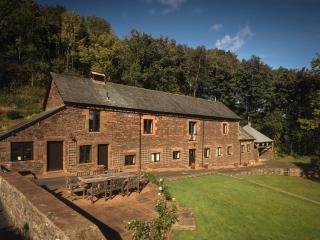
Bank Barn
Enjoying a fabulous location north of Ullswater, Bank Barn provides sumptuous accommodation for larger families or groups of friends, and makes an ideal base for exploring this spectacu...
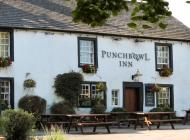
Places to eat nearby View all