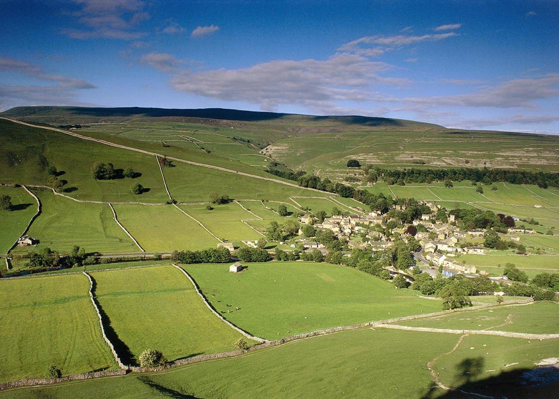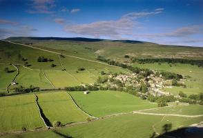
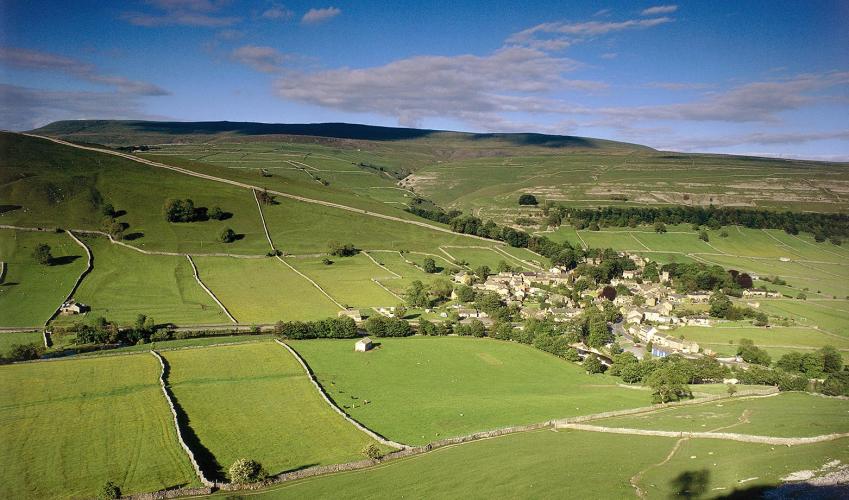
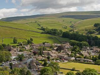
Arncliffe and Littondale
Recommended by

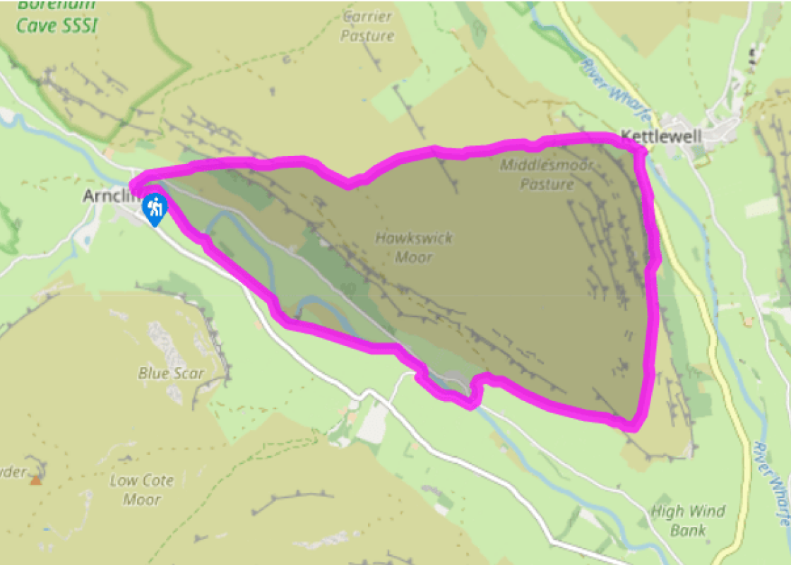
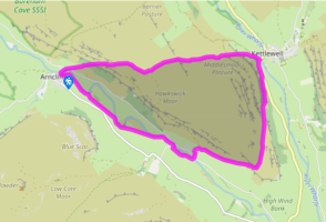
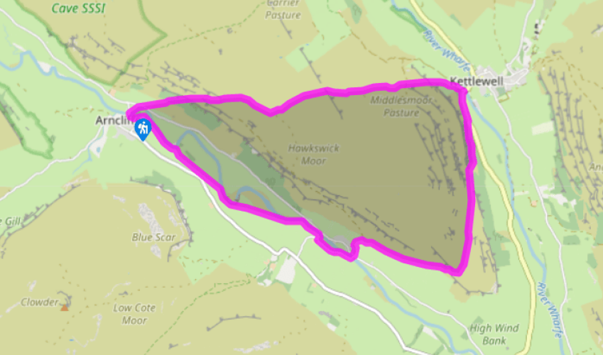
Walk directions
From outside the church, cross the bridge and turn immediately right, over
a gated stile. Walk parallel with the river, cross the road via two stiles, then
bear right and follow the footpath uphill over a stile and through a gate.
Continue up in the same direction through the woods of Park Scar, with one
short zig-zag near the top, to a stile.
Bear right and follow the footpath to another stile. Keep the same heading
to pass a signpost, a tumbled wall and then another signpost. The path bears
left, crosses a line of shakeholes and continues via a stile to another stile on
the ridge.
View all directions
Additional information
Terrain
- Mostly clear, some rocky sections, may be muddy, 16 stiles
Landscape
- Rocky hillside, moorland and meadows
Dog friendliness
- On leads – sheep in fields and on moorland
Parking
- In Arncliffe, near church
Toilets en route
- In Kettlewell (just off route)
About the walk
The village of Arncliffe may look familiar to long-time Emmerdale fans, for the opening titles for many years featured views of the village, and in the programme's very early days it was used as a film location. The cameras have long departed, leaving visitors space to appreciate Arncliffe's...
Read more

Been on this walk?
Send us photos or a comment about this route. Or recommend a route of your own.

Walking in Safety
Read our tips to look after yourself and the environment when following this walk.

Get an AA guide
Explore our range of ‘50 Walks in’ guides - they’re the ideal companion for a ramble.
Been on this walk?
Send us photos or a comment about this route. Or recommend a route of your own.
Walking in Safety
Read our tips to look after yourself and the environment when following this walk.
Get an AA guide
Explore our range of ‘50 Walks in’ guides - they’re the ideal companion for a ramble.
About the area
North Yorkshire, with its two National Parks and two designated Areas of Outstanding Natural Beauty, is England’s largest county and one of the most rural. This is prime walking country, from the heather-clad heights of the North York Moors to the limestone country that is so typical of the Yorkshire Dales – a place of contrasts and discoveries, of history and legend.

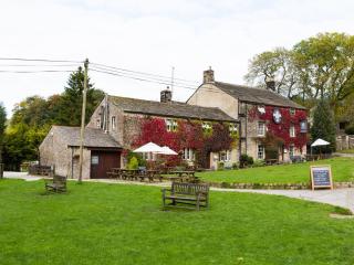
Nearby places to stay
View all (8)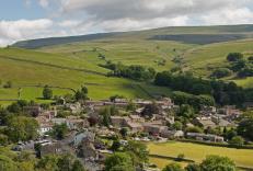


Nearby places to stay
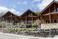
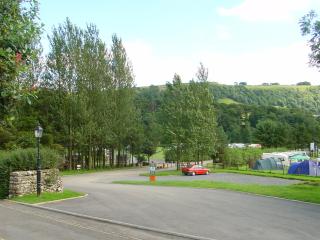
Kettlewell Camping
Created from former farm fields, this rural camping site has stunning countryside views and is enclosed by well-maintained stone walls. It has the benefit of being just a few minutes’ w...
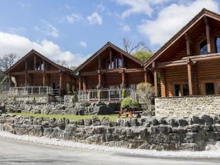
Long Ashes Holiday Park
Designed as a permanent place to live, or for just a weekend getaway, Long Ashes Holiday Park is surrounded by rugged scenery, wonderful walks, quaint villages and near-limitless views,...
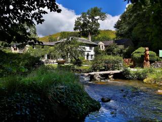
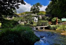
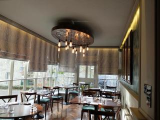
Beck Hall
This delightful streamside establishment has many charming and memorable features. The smart restaurant is spacious and overlooks the water, and there are also tables outside for warmer...
The Lister Arms
Located in Malham in the Yorkshire Dales National Park, The Lister Arms is a traditional country inn with wood beams and open fires. It is close to the village green and a babbling stre...
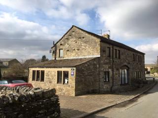
Sunnyside Cottage
An absolute Gem in Grassington. Beautiful Barn Conversion in the heart of Grassington Village.
Recently refurbished to a high standard with all the comforts. 3 Bedrooms, bathroom with b...
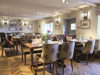
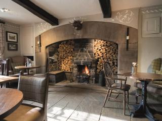
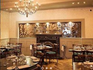
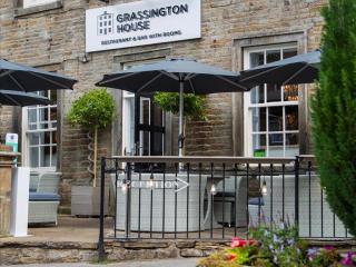
Grassington House
Located in the square of the popular village of Grassington, Grassington House is beautifully converted Georgian building, personally run by owners John and Sue. Delicious food, indivi...
Knight Stainforth Hall Caravan & Campsite
Knight Stainforth Hall is a family park located near Settle and the River Ribble, which makes it an ideal base for walking or touring the beautiful Yorkshire Dales National Park. There ...
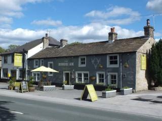
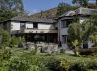
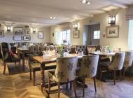
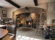
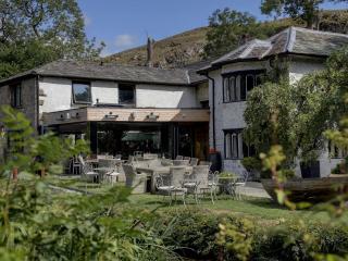
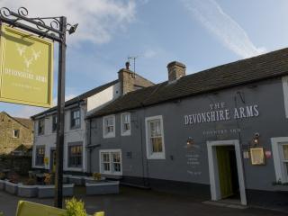
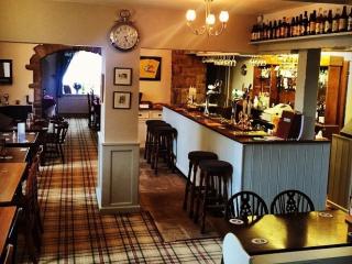
Devonshire Arms Country Inn
Devonshire Arms Country Inn is a family-run 16th-century property located in the heart of the Yorkshire Dales National Park, between Grassington and Skipton. It offers six comfortable b...
Places to eat nearby View all