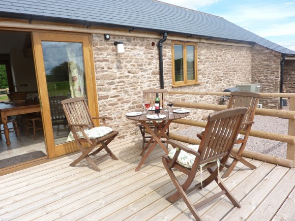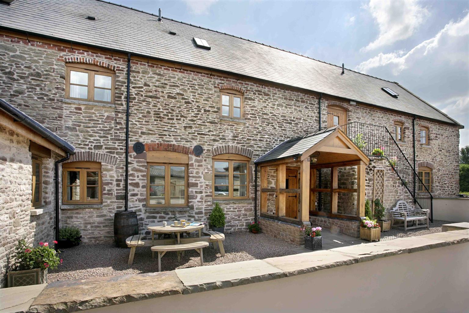


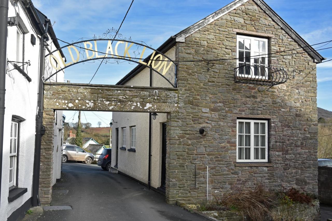
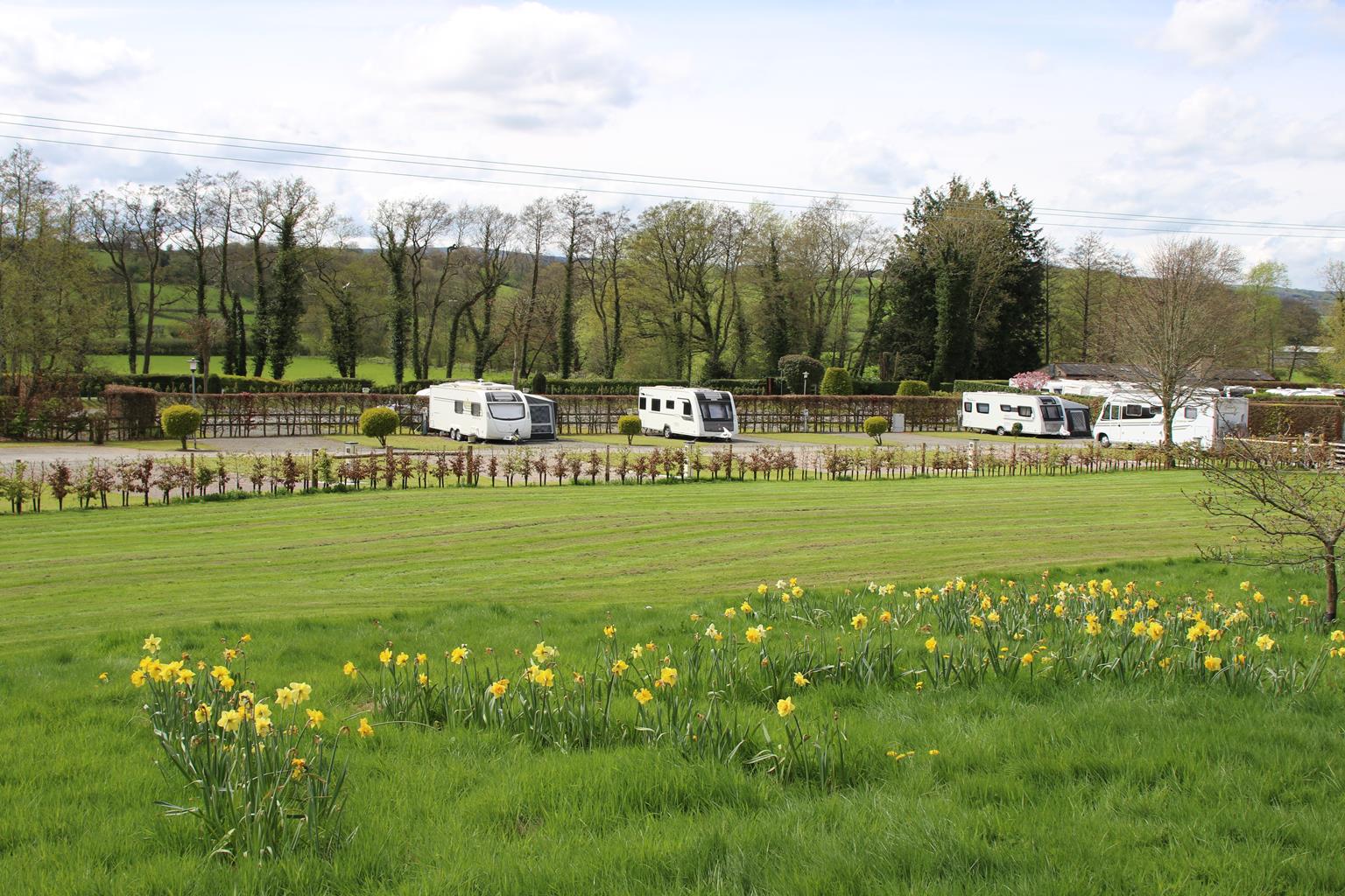
Poston Mill Park
West of Herefordshire under the foothills of the Black Mountain in The Golden Valley. Our hard-…

Abbey Dore
8.5 miles (13.7kms)
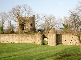
Abbey Dore Court occupies the site of the Red Lion where, in 1837, the inaugural meeting of the Board of Dore Union Guardians took place. Under the Poor Law Act of 1834, responsibility for administering relief was transferred from individual parishes to Unions, in this case a group of 29 parishes. It enabled the construction of large workhouses and required compulsory schooling for workhouse children. Hereford had five workhouses, one of which subsequently served as part of the County Hospital. Right up until its partial demolition in 2002, the building still bore the poorhouse stigma among elderly people, who were reluctant to be admitted.
Riverdale, the Dore workhouse, is a remote place, well away from the village of Abbey Dore itself. The most disliked rule, and perhaps the least necessary, was the one that forbade inmates to leave the premises. The rules of the workhouse were strict but not Draconian; criminal acts were rare, with breaches often punished by reducing diet (but such punishment could not be given to children). The key elements of the workhouse diet were bread, gruel (an inferior porridge of oatmeal and water) and potatoes. Each person was allowed 5oz (140g) of meat two days per week and 1.5oz (42g) of cheese on four days per week. Riverdale accommodated between 80 and 100 men, women and children. Most of the adult residents were aged or infirm; many had additionally suffered some other misfortune: there were blind people, abandoned wives, unmarried mothers, and so on. Nevertheless, physical conditions may have been little worse than those experienced by agricultural workers, who often endured the discomfort of damp and cramped cottages without a solid floor.
In 1929 legislation transferred responsibility for poorhouse residents to county councils. During World War II the Dore workhouse was used for tractor assembly and the buildings were subsequently converted into private dwellings.
From a stile opposite the lychgate, head for the top-left field corner. Continue towards a white cottage. Ignore the stile and turn up beside the boundary, leaving the top of the next field along a hedged path onto Ewyas Harold Common.
Over a track, bear left to a junction of grass paths. Go left and arc right in front of a shingled cottage. Where paths fragment after 350yds (320m), take the right branch, but as that splits, bear left. At another fork bear right and, ignoring crossings, descend through bracken and trees to emerge onto a gravel track (grid reference: SO 388292) in around 0.25 miles (400m). Turn left, then fork right to merge with another gravel track. Continue down with the lane ahead into the village.
At the end go right past Priory School and right again past The Dog Inn. As the road bends, branch left up fingerposted steps. Bear left across a field below the castle tump, the raised mound upon which the keep stood, and walk through a yard left of buildings to another gate. Carry on by the left hedge to a shallow corner. Passing through the left of two gates, the boundary is now on your right. Slipping over a stile in the third field, continue on the other flank. Through a small gate, walk on beside a wood. Over stiles, pass briefly through trees and then bear left towards the crest of the hill. Round an indented corner and remain beside the right hedge through fields to Plash Farm.
In the yard, bear right and then left beside a barn. Climbing stiles, turn right and right again into a paddock behind the house. Cross to a gate and continue down a large pasture to the bottom-right corner. Follow a descending rough track through trees, beside a plantation and then an old hedge to come out onto a lane. Go right past redundant St Michael’s Church, then sharp left along a drive towards Dulas Court. Following ‘Visitors’ Car Park’ signs, wind right past bungalows and over a bridge. Just beyond, take a track right into a field and bear left to the top corner. Follow a green path up to the right through trees. Walk right at a crossing and again at a fork, but reaching the next split, keep left. Emerging from the wood, continue climbing right across rough pasture to Cot Farm.
Walk forward between house and barns, progressing along the top edge of the field beyond. Cross the next field to a stile in the far lower corner. Back on Ewyas Harold Common, walk forward to a track and bear left. At a bend, keep ahead to join another gravel track, following it down past Hill Place to more cottages. Immediately before the first house, turn left through a wide gate and walk away beside the top edge of a sloping field. Over a high ladder stile, keep ahead across a deer park. Exit over another ladder stile to drop past Cwm Farm to a lane. Walk down, keeping ahead and then left towards Abbey Dore Court. Around a bend and over a small bridge, cross a stile on the left. Pass farm buildings and go through consecutive gates to another gate in the far corner. Continue across the next field, leaving through a field gate, some way along the right boundary.
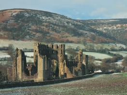
Over the river, go left, passing through a gate to follow a waymarked route across the fields to Riverdale. Retrace your steps to Point 6 and continue ahead to emerge by Dore Bridge. Go left, leaving after 50yds (46m) along a track on the right. Approaching high gates to an army training range, bear right on a grass path around the perimeter fence to a bridge. Strike across pasture to Dore Abbey and walk out to the lane.
Meadows, tracks and woodland paths (one stony, awkward descent), many stiles
Quintessential Herefordshire
Mostly on leads
OS Explorer OL13 Brecon Beacons (East)
On east side of B4347, by the Abbey, south of the lychgate
None on route
Read our tips to look after yourself and the environment when following this walk.
Herefordshire is split in two by the River Wye which meanders through the county on its way to the Severn and the sea. Largely rural, with Hereford, Leominster, and Ross-on-Wye the major towns and cities, its countryside and ancient villages are the county’s major asset.
Visitors can take advantage of a number of the trails which will guide them through areas of interest. Those especially interested in historic village life should try the Black and White Village Trail, which takes motorists on a 40-mile drive around timber-framed villages from Leominster to Weobley (established in the 17th century and known as a centre of witchcraft in the 18th), Eardisley (where the church boasts a 12th-century carved font), Kington, Pembridge and others. Other trails include the Mortimer Trail, the Hop Trail and the Hidden Highway, which goes from Ross-on-Wye to Chester. Hereford has a small Norman cathedral, which has a great forest of pink sandstone columns lining the nave. Inside is a chained library, a 13th-century Mappa Mundi (map of the world) and one of only four copies of the 1217 version of the Magna Carta.
Discover more than 15,000 professionally rated places to stay, eat and visit from across the UK and Ireland.
Choose a place to stay safe in the knowledge that it has been expertly assessed by trained assessors.
Search by location or the type of place you're visiting to find your next ideal holiday experience.
Read our articles, city guides and recommended things to do for inspiration. We're here to help you explore the UK.