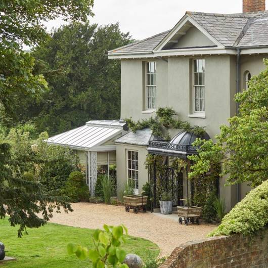

The White Horse Inn
The White Horse Inn is a beautifully restored 18th-century building is the heart of the village…

A villa, illustrating the talent and enterprise of the Romano-British people, lies close to the start of this superb downland walk.
Bignor
5.25 miles (8.5kms)
Bignor is most famous for its Roman villa situated just outside the village, a vineyard planted on the slopes below. From here the eye is drawn south towards the northern escarpment of the South Downs and Bignor Hill, which rises to 738ft (225m). From this lofty vantage point there are excellent views east along the length of the Downs towards the Arun Valley and beyond. In spring and summer the grassland is full of wild flowers and butterflies.
Bignor Hill is part of the National Trust’s 1,400 hectare Slindon Estate. About 1 mile (1.6km) southwest of its car park is Gumber Farm, also part of the estate, which has an interesting history. During World War II it was used as a decoy airfield, using lights at night and wooden aeroplanes during the day to mimic a military airfield, and thus attempt to protect the real airfields at Ford and Tangmere from being bombed. Today it is a working sheep farm and has a camping barn and field.
The Roman Villa at Bignor is one of the largest in Britain. Discovered by a ploughman in 1811, Bignor features various mosaics which are considered to be among the finest in the country, depicting scenes of gladiators and representations of Venus and Medusa. Originally the villa consisted of about 70 buildings situated in a walled enclosure of over 4 acres (1.6ha). The estate may have extended to about 200 acres (81ha), confirming that a wealthy or influential person would have lived here. Construction of the building probably started around the end of the 2nd century ad and it may have been occupied for at least 200 years.
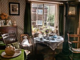
The Grade I listed Holy Cross Church in Bignor largely dates to the 13th century, though a notable feature to be seen here is the 11th-century Norman arch dividing the nave and chancel. The font is also Norman. The church is used on a regular basis for concerts, talks, poetry readings, art exhibitions and festivals. Dating from 1420 and Grade II listed, the Yeoman’s House is a superb example of a medieval hall house, today available for holiday letting. This walk starts high, takes you down to Bignor with a chance to visit the Roman villa, before climbing back up again to the top. The views are well worth the effort.
From the car park, where there’s a large wooden signpost and information board, follow the tarmac lane down towards Bignor Roman Villa. The lane descends through the woodland, passing a bridleway on the right as it bends left. On reaching Bignor village, pass a farm and bear briefly right and then left to take the road ahead, signposted ‘Sutton and Duncton’. Pass a telephone box, and on the right is the picturesque Yeoman’s House. To visit the Roman villa, turn right along the access road here, continuing along a footpath. On reaching the drive turn left to the entrance.
Retrace your steps to the Yeoman’s House and bear right along the road. The road bends left and passes the Parish Church of Holy Cross. A yew tree, so familiar to country churchyards, can be seen in the corner. Follow the lane, ignoring a left turn, as it descends steeply through the trees and then climbs between high hedges towards Sutton. Pass the village sign and follow the road as it bends left by a bridleway running off to the right. Walk into the village.
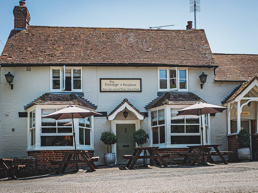
When the road bends right by the White Horse, go straight on towards Barlavington and Duncton. Follow the lane between stone-built houses and cottages and head out of the village. Keep left at the fork and follow the ‘No through road’. A tree-clad scarp, the walk’s next objective, looms ahead.
As the lane bends left, fork right on the bridleway. Further on, the track can become wet and muddy underfoot at the point where you share the route with a stream. Begin a gentle, slow ascent through the woodland and gradually the path narrows and becomes progressively steeper. At a fork, keep left. The dramatic ascent eases further up and here you avoid a left-hand footpath. Soon daylight can be seen ahead, reaching through the trees.
At a meeting point of tracks, go forward and then bear left after about 30yds (27m). Follow the chalk track as it climbs gently, with far-ranging views over remote, well-wooded country. The track curves towards two masts on Glatting Beacon, peeping above the trees. Pass a National Trust sign for Bignor Hill and a bridleway on the right. Keep forward through woodland and now the track begins a gentle descent. Gradually the views widen to reveal glorious woodland and downland stretching into the distance. Head down to a junction, keep ahead on the South Downs Way and follow it back to the car park.
Downland and woodland tracks and paths, country roads
Rolling countryside and well-wooded slopes
Quiet lanes with little traffic. Parts of walk follow tracks and paths where dogs can run free. No dogs on villa grounds
OS Explorer OL10 Arundel & Pulborough
Bignor Hill free car park
None on route
Before setting off on this walk it's worth walking up to the top of nearby Bignor Hill (c.1 mile/1.6km there and back) to enjoy the views
Read our tips to look after yourself and the environment when following this walk.
Divided from East Sussex back in 1888, West Sussex is so typically English that to walk through its landscape will feel like a walk through the whole country. Within its boundaries lies a wide variety of landscape and coastal scenery, but it is the spacious and open South Downs with which the county is most closely associated.
In terms of walking, you’ll be spoilt for choice. Studying the map reveals a multitude of routes – many of them to be found within the boundaries of the South Downs National Park – and an assortment of scenic long-distance trails leading towards distant horizons; all of them offer a perfect way to get to the heart of ‘Sussex by the sea,’ as it has long been known. If you enjoy cycling with the salty tang of the sea for company, try the ride between Chichester and West Wittering. You can vary the return journey by taking the Itchenor ferry to Bosham.
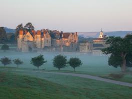
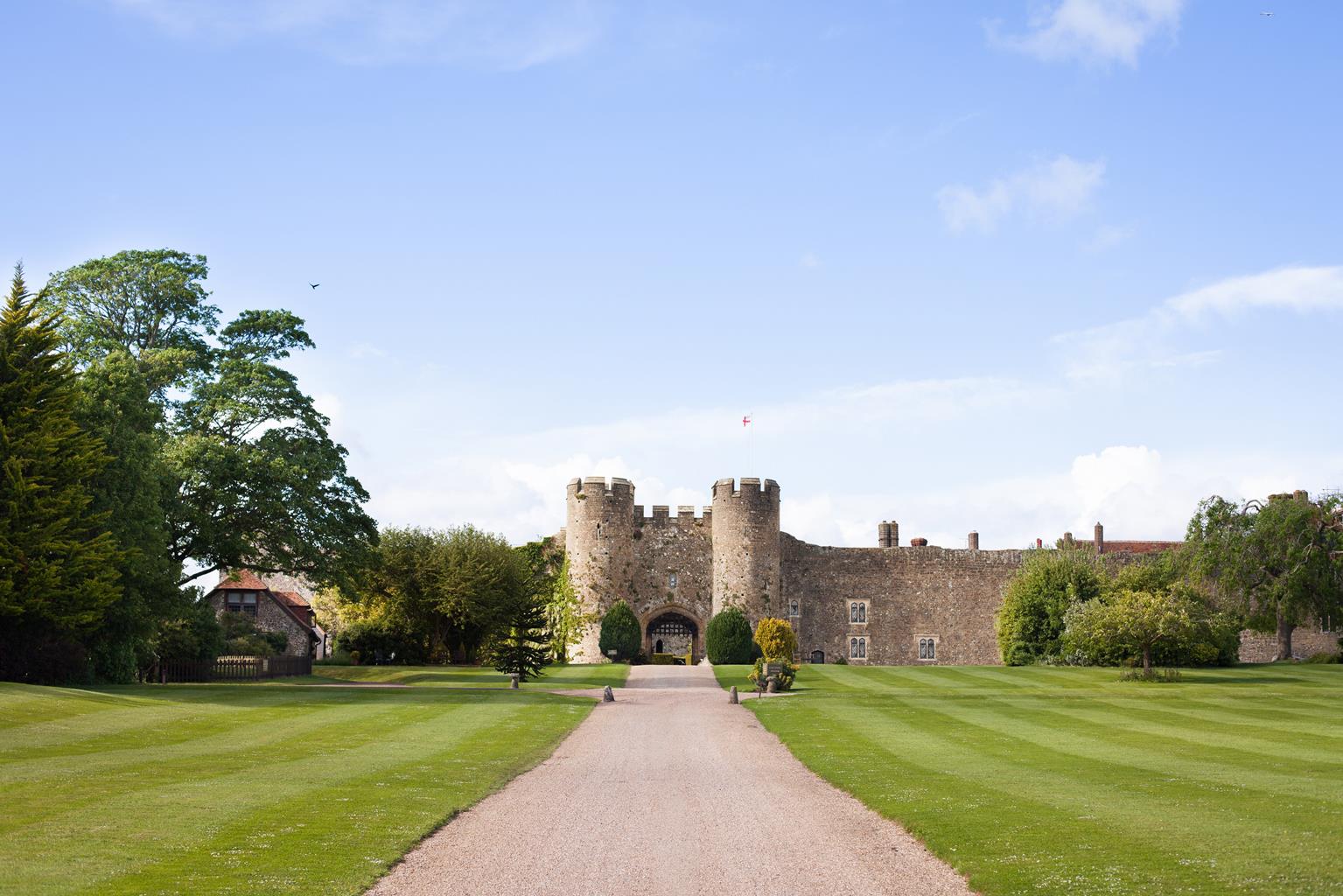
West Sussex is renowned for its many pretty towns, of course. Notably, there is Arundel, littered with period buildings and dominated by the castle, the family home of the Duke of Norfolk, that dates back nearly 1,000 years.
Discover more than 15,000 professionally rated places to stay, eat and visit from across the UK and Ireland.
Choose a place to stay safe in the knowledge that it has been expertly assessed by trained assessors.
Search by location or the type of place you're visiting to find your next ideal holiday experience.
Read our articles, city guides and recommended things to do for inspiration. We're here to help you explore the UK.