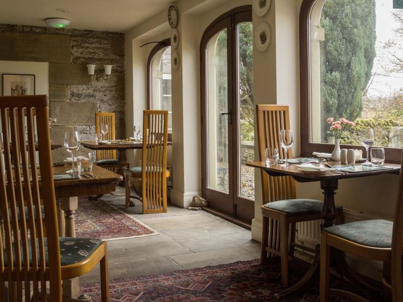
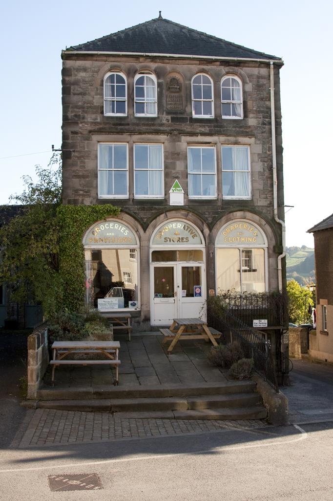
YHA Youlgreave
YHA Youlgreave is one of the gateway hostels to the Peak District National Park and is perfectly…

Explore a dramatic valley far below Youlgreave, a village where water takes on a special meaning.
Youlgreave and Bradford Dale
3.25 miles (5.3kms)
First-time visitors to Youlgreave can sometimes be seen wandering up and down the main street in search of the dale. It’s not as daft as you may think, since the village sits high on the valley’s northern rim with the River Bradford largely out of sight far below. Further down river, where the Bradford joins the River Lathkill at Alport, the scenery is much gentler with open fields, but this walk begins up river and immediately plunges into the deep, narrowing dale. Most of the steep slopes are clothed in mature woodland, both broadleaf and conifer, while the river was long ago dammed to form ponds and weirs. You skirt one such weir to reach an old stone bridge at the foot of a track from Middleton.
The River Bradford enchants and inspires many people with its natural beauty and serenity, the upper section in particular providing a fleeting sense of remoteness from the outside world. At this old bridge pause a moment and inspect the stonework. Carved into it is a quote from William Wordsworth:
‘Still glides the stream, and shall forever glide.
The form remains, the function never dies.’
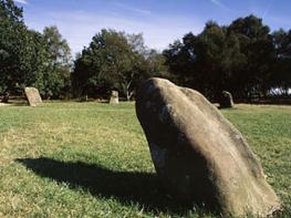
It’s one of 17 so-called Sites of Meaning, a Millennium project that saw local people mark the boundary of the parish of Middleton and Smerrill with inscribed sculptures or carvings carrying specially chosen text.
The river supports plenty of birdlife, from moorhens and herons to yellow wagtails and the occasional kingfisher. In particular, look out for dippers – those handsome deep brown and white birds that can be seen bobbing on a rock mid-stream, or diving underwater in search of food.
Water and the River Bradford have played a significant part in the history of Youlgreave. Once the village drew its water straight from the river, but in the early 1800s the women of the village successfully campaigned for a new supply of safer, cleaner drinking water, piped from a local spring and held in the odd-looking round stone tank (known locally as the Fountain) that still adorns Youlgreave’s main square. Nearly 200 years later the community-owned Youlgrave Waterworks Ltd continues to supply the village with locally sourced drinking water and is one of the very few private water companies still left in England. The ornate stone welltaps, where the water was once piped to locations on village streets, are now ritually celebrated by well-dressings each June, when elaborate floral displays give thanks for the supply of water.
Leave the car park and turn right to walk along the pavement away from the village for 200yds (183m), until just before you reach the first bend in the road high above the wooded dale. Go through a gate on the left for a signposted public footpath down through dense woodland into the dale. At the bottom the path continues beside the river. Go through a gate and at the path junction at the end turn left. In a few paces cross an old stone bridge.
Turn left and follow the wide and level riverside track downstream along the valley bottom for just under 0.75 miles (1.2km), past numerous weirs. When the path finally ends at a small metal gate go through this and over an old stone clapper bridge to cross the river.
Turn immediately right and go through the squeeze stile or gate to resume the riverside route downstream, now on the left bank, as far as an artificial swimming pool where the river has been dammed. Continue along the path until you reach a gate.
Walk ahead to cross the road at a junction. Go through a gate and on along the wide riverside track, with the river soon switching to your left. Follow this past a packhorse bridge and low cliffs until it bends sharply right and uphill. Here go straight on, through a kissing gate, and follow the path near the river all the way to the road at Alport.
Turn left and walk up the pavement of Alport Hill. Where this ends go through the wall gate on the left for a path across a field. This continues along the upper northern rim of the dale, through more fields, high above the river, and finally emerges on a road by the houses of Youlgreave.
Turn left and follow the road downhill. At the bottom turn right and rejoin the outward route from earlier. Go through the gate back into the dale, and about 150yds (137m) further on take a narrow but surfaced path steeply up the grassy hillside on the right. Continue on this through the gate at the top and up the residential road beyond. At the very top you reach a wide road junction opposite the Wesleyan Chapel. Turn right to reach Fountain Square and the centre of Youlgreave, otherwise go left on the main road to return to the start.
Generally firm dale paths, though slopes may be slippery after rain
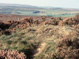
Limestone dale
Keep dogs out of the river because of nesting birds, and on lead around livestock
OS Explorer OL24 White Peak
Coldwell End car park, Youlgreave
At car park and Holywell Lane, Youlgreave
Read our tips to look after yourself and the environment when following this walk.
The natural features of this central English county range from the modest heights of the Peak District National Park, where Kinder Scout stands at 2,088 ft (636 m), to the depths of its remarkable underground caverns, floodlit to reveal exquisite Blue John stone. Walkers and cyclists will enjoy the High Peak Trail which extends from the Derwent Valley to the limestone plateau near Buxton, and for many, the spectacular scenery is what draws them to the area.
The county is well endowed with stately homes – most notably Chatsworth, the palatial home of the Duke and Duchess of Devonshire, with its outstanding collections of paintings, statuary and art. Other gems include the well preserved medieval Haddon Hall, the Elizabethan Hardwick Hall, and Kedleston Hall, whose entrance front has been described as the grandest Palladian façade in Britain.
The spa town of Matlock is the county’s administrative centre and other major towns of interest include Derby and the old coal mining town of Chesterfield, with its crooked spire. Around the villages of Derbyshire, look out for the ancient tradition of well dressing, the decorating of springs and wells – the precious sources of life-sustaining water – with pictures formed from flowers.
Discover more than 15,000 professionally rated places to stay, eat and visit from across the UK and Ireland.
Choose a place to stay safe in the knowledge that it has been expertly assessed by trained assessors.
Search by location or the type of place you're visiting to find your next ideal holiday experience.
Read our articles, city guides and recommended things to do for inspiration. We're here to help you explore the UK.