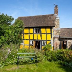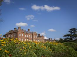

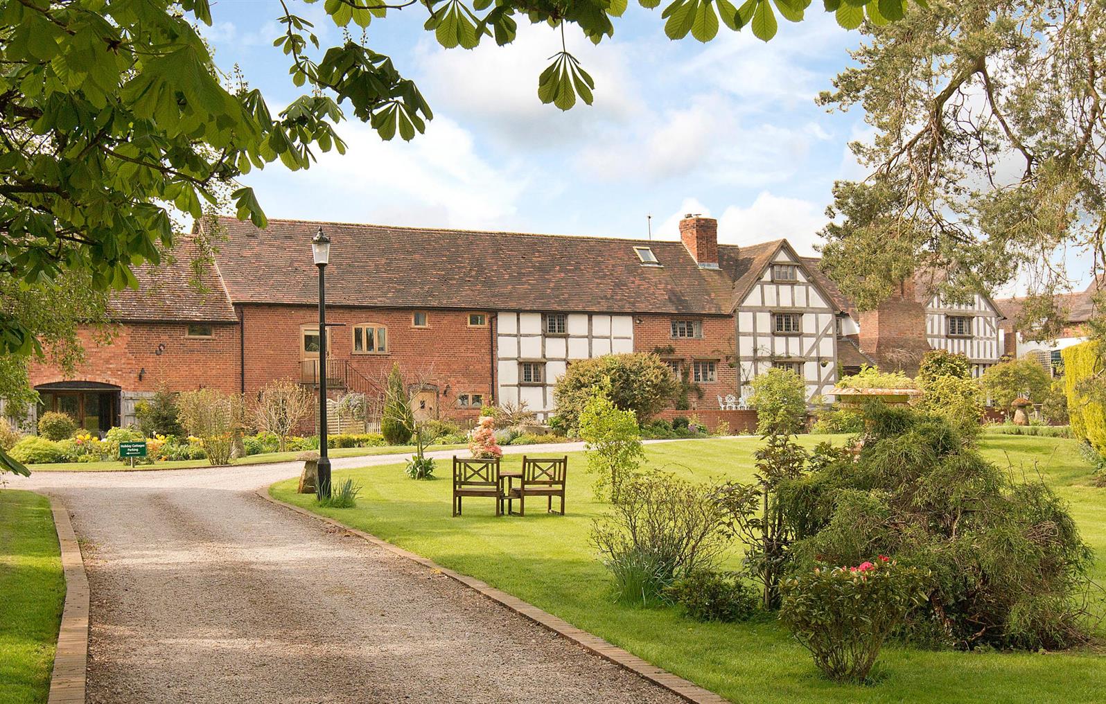
Church House Farm Holiday Cottages
Church House Farm Holiday Cottages are two newly converted luxurious cottages located in…

Cleobury Mortimer
4.8 miles (7.7kms)
It’s hard to say whether Cleobury Mortimer is a town or a village. Once the stronghold of Norman baron Ralph Mortimer, who built a castle here and soon established control over much of the border country, it has a significant entry in the Domesday Book. The Mortimers went on to rule the Marches for centuries, but their centre of power soon moved to Wigmore, then to Ludlow, and Ralph’s castle at Cleobury was eventually destroyed by Henry II in 1155.
As you leave it behind, do stop occasionally to glance back at the view of Cleobury, set against the backdrop of the Clee Hills and dominated by the octagonal spire of St Mary’s Church, which has a marked twist in it. This is due to the warping of the timbers and has admitted Cleobury to the membership of an exclusive club – the slightly bizarre-sounding European Twisted Spires Association. The only other British member is Chesterfield, in Derbyshire.
Just across from the Church (you’ll see it as you reach the end of the walk) is The Wells, a spring-fed pool which was the town's main water supply for many centuries. It’s said that waggoners would drive their wagons through the pool in the hope that the water would swell the wood, causing the spokes to fit more tightly into the wheels. Inevitably in more modern times doubts were raised about the quality of the water, especially as it lay directly below the church graveyard, and the pool is now purely ornamental.
Cleobury is quickly left behind and after a bit of climbing a superb panorama of fields, woods and hedges presents itself, with all of Worcestershire spread out in front of you, rising to the Malvern Hills. As you go forward, Herefordshire comes into view on your right, with the Black Mountains marking the Welsh border.
After more short descents, climbs, and two crossings of the River Rea, another track gives a good view over to the square, red-brick Mawley Hall. You’ll pass much closer to the Hall later on, but barely see it, so get a good look while you can. Built around 1730, the Hall is Grade I listed and is said to boast one of the finest Baroque interiors in England. It fell into dereliction in the 1950s but was then acquired by the Galliers-Pratt family, who undertook a major restoration programme. It’s occasionally open to the public in the summer months.
Walk through the alleyway under the Talbot Hotel to the main street. Go down Eagle Lane opposite. When the lane bends right, cross a gate into a field. Go up right to a gate, then go diagonally to the top right corner of the next field. Cut rightwards across the corner of another, then go diagonally across the next to meet the far hedge, in line with a solitary oak. Follow the right-hand hedge down to Rowley Brook and turn right to cross a bridge.
Climb diagonally, passing another solitary oak. Cross a stile in the hedge, squeeze past another and go straight on by the left-hand hedge, along a level field. Go through a gate and down the next field to meet a track; turn left then swing right towards Reaside Manor Farm. Pass between the farmhouse and its outbuildings, cross a stile and bear left past an oak tree (complete with treehouse). Descend the slope, continue to a footbridge and cross the River Rea.
Climb to the far right corner of the next field, which funnels into a short a track. Follow this over a slight rise then turn left into a leafy tunnel. Follow this to meet a lane. Turn left along the narrow, high-banked lane for nearly 0.5 miles (800m), until you can turn right on a stony track, which leads past The Rookery, then down to the River Rea. Look out for Mawley Hall away to the left here.
Cross the Rea on a footbridge to the right of a weir. This peaceful spot by the weir was once the site of a charcoal furnace, built in the 16th century for smelting iron ore. Go forward to cross a stone bridge then turn left on a grassy track. Follow this twisting track uphill and then go diagonally across a small field to meet a wider track which takes you past Mawley Hall. At a T-junction with another track, turn right past paddocks, then left at a footpath sign. The path descends to loop round a walled garden, then doubles back right towards the river.
Crossing the Rea again, turn right and follow the river. When you reach a lane, you can take this back to Cleobury or, better, look for a grassy bridleway on the left, climbing to the left of a brick-fronted house, then on through grassland and along a leafy tunnel. Once houses take over at Mortimer Hill, start looking for a path on the right that descends beside Mortimer Cottage. Continue down the lane opposite then take a path on the left beside a stream. Reach Church Street and turn left, back to the Talbot passageway.
Mostly field paths across pasture, many stiles
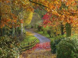
Pastoral country with secluded valleys and panoramic views
On leads
OS Explorer 203 Ludlow or 218 Wyre Forest & Kidderminster
Town centre (Childe Road East) car park, Cleobury Mortimer
At Childe Road West car park
Read our tips to look after yourself and the environment when following this walk.
Perhaps nowhere else in England will you find a county so deeply rural and with so much variety as Shropshire. Choose a clear day, climb to the top of The Wrekin, and look down on that ‘land of lost content’ so wistfully evoked by A E Housman. Peer through your binoculars and trace the course of Britain’s longest river as the Severn sweeps through the county, from the Breidden Hills to Wyre Forest, slicing Shropshire in two. To the north is a patchwork of dairy fields, hedgerows, copses and crops, broken at intervals by rugged sandstone ridges such as Grinshill or Nesscliffe, and dissected by a complex network of canals.
Spilling over the border into neighbouring Cheshire and North Wales is the unique meres and mosses country, with serenely smooth lakes glinting silver, interspersed with russet-tinged expanses of alder-fringed peat bog, where only the cry of the curlew disturbs the silence. South of the Severn lies the Shropshire Hills AONB. It’s only when you walk Wenlock Edge that you fully discover what a magical place it is – glorious woods and unexpectedly steep slopes plunge to innumerable secret valleys, meadows, streams and farmhouses, all tucked away, invisible from the outside world.
Discover more than 15,000 professionally rated places to stay, eat and visit from across the UK and Ireland.
Choose a place to stay safe in the knowledge that it has been expertly assessed by trained assessors.
Search by location or the type of place you're visiting to find your next ideal holiday experience.
Read our articles, city guides and recommended things to do for inspiration. We're here to help you explore the UK.