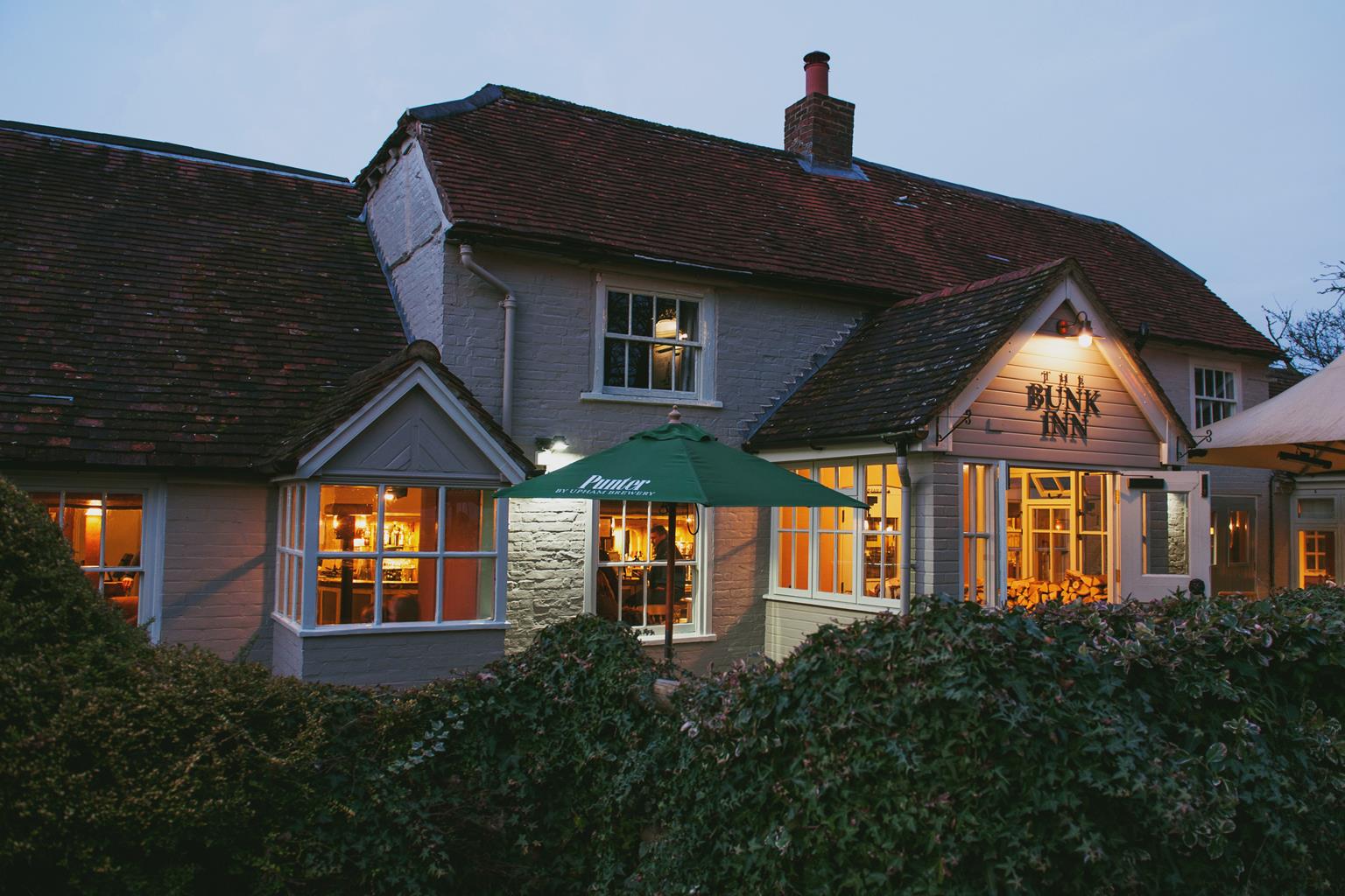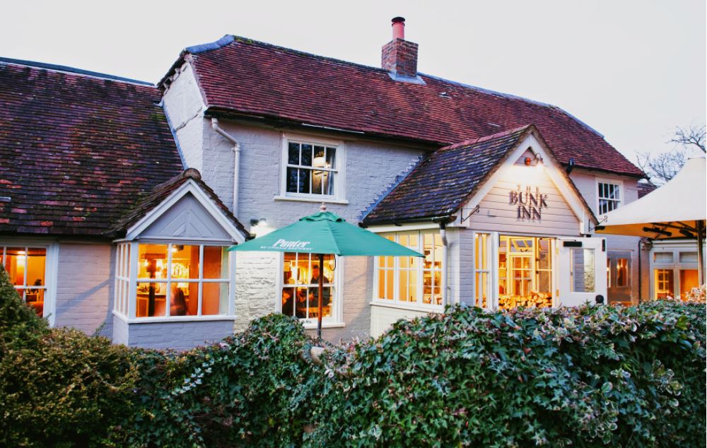

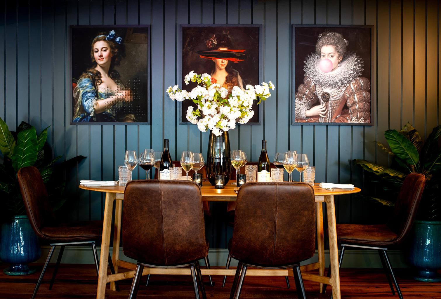
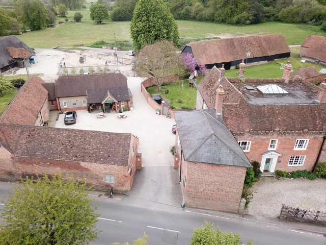
Manor Farm Courtyard Cottages
Welcome to Manor Farm Courtyard Cottages in Hampstead Norreys; a picturesque farming village in…

Upper Woolhampton
3 miles (4.8kms)
The Douai Abbey community covers more than three and a half centuries. The Dissolution of the Monasteries during the reign of Henry VIII drove men and women who opted for a monastic existence to flee abroad. In 1615 a group of English monks gathered in Paris to form the community of St Edmund. Other English monasteries were formed, and together they restored the English Benedictine Congregation. Having been suppressed and almost extinguished by the events of the French Revolution, the survivors of St Edmund’s moved, in 1818, to Douai, some 25 miles (40km) south of Lille. In 1903 the monks were again expelled from their monastery on anti-clerical grounds.
This time they crossed the Channel, bringing the name ‘Douai’ with them. The monks were welcomed by the Bishop of Portsmouth who allowed them to settle at Woolhampton, taking over the parish and St Mary’s College school. They went on to transform the latter into one of the country’s leading Roman Catholic public schools, until its closure in 1999.
Work on the new abbey building began in 1928 according to a design by Arnold Crush, which can be seen in the choir and sanctuary areas. The initial plan was to have a transept crossing surmounted by a tower, and with another seven bays the church would have extended almost to the road. However it took five years alone before the traditional-looking east end, constructed in a style that reflected the continuity of monastic architecture from the Benedictine Middle Ages, was completed. In fact, it took until the summer of 1993 and a change of architect (in 1987 Dr Michael Blee was invited to start work on a new design), before the church was completed and dedicated in a style that suited the modern monastic age, with the focus on prayer and praise.
These days the Douai community includes around 30 monks, who receive guests, host conferences and offer a place of retreat. They help organise events in the church itself and in other parts of the abbey campus, as well as working in the surrounding parish.
From the car park turn right and follow the main road through Beenham; this changes its name several times, becoming Picklepythe Lane for a stretch, past the recreation ground, to Clay Lane. Veer left and left again by The Willows. Follow the byway (ignore all footpath signs) and eventually pass the two brick pillars that mark the entrance to Oakwood Farm.
Continue downhill through a natural tunnel of trees. Some 100yds (91m) after you’ve emerged back into the light, where the trail swings left turn right at the bridleway sign. Follow it to the left along the field perimeter, steadily climbing to the top of the field. At the top Malthouse Farm is on your right. Continue on this rough byway to meet the road, with a paved drive leading off to your right to Malthouse Farm.
Turn right and walk along the main road, Cod’s Hill (a corruption of God’s Hill), leading to the abbey. Take the first footpath on the left, which almost immediately crosses a drive and seems to disappear. Look to the left of the barbed wire fence and the path continues through a gap, across Douai Park playing fields. Head towards the white cricket pavilion, and look to the left for the kissing gate into the churchyard of St Peter’s, Woolhampton (hidden behind trees). Look right for your first view of Douai Abbey.
Visit the church, then exit right, out of the gate back onto the road. As the road nears the bend, take the path which runs parallel to the road and continue as far as the main road, opposite the main entrance to the old part of Douai Abbey. Bear left here, with the Abbey buildings on your right and a row of late 17th-century thatched cottages to your left. The older red-brick buildings of Douai are not open to the public (the old church may be visited by appointment), but continue along the road to Douai Abbey where you can visit the new church.
Beyond the church, continue along the road to some cottages and barns. Turn right at a footpath sign, soon passing a galvanised gate, and follow the track round to the left into the next field. Keep to the field-edge, and when you reach the corner by the footpath sign, go straight over into the woods. Fields can be seen close by on the left. Follow the path through the trees, then between paddocks, until you reach the track that you took near the start of the walk. To return to your car turn left, then right by Jayswood Cottage, and right again to the main road. Alternatively, go left by Jayswood Cottage, turn left at the junction, and The Six Bells pub is just a few paces away on the other side of the road.
Tracks, field and woodland paths, stretches of village road and country lane
Mixture of woodland and farmland on south-facing slopes of the Kennet Valley
On lead in Beenham, near Douai and near livestock, under control on woodland stretches
OS Explorer 159 Reading, Wokingham & Pangbourne
Small car park by Victory Hall
None on route, but enquire at Abbey reception
Read our tips to look after yourself and the environment when following this walk.
Berkshire essentially consists of two distinct parts. The western half is predominantly rural, with the Lambourn Downs spilling down to the River Lambourn and the Berkshire Downs to the majestic Thames. The eastern half of Berkshire may be more urban but here, too, there is the opportunity to get out and savour open spaces. Windsor Great Park and Maidenhead Thicket are prime examples. Threading their way through the county are two of the South’s prettiest rivers – the Lambourn and the Pang. Beyond the tranquil tow paths of the Kennet and Avon Canal, Greenham Common’s famous airbase has been transformed to delight walkers of all ages.
Reading and Newbury are the county’s major towns, and the River Kennet flows through them both. Reading is a vibrant, multicultural centre with great shopping and plenty of history. Oscar Wilde was incarcerated in Reading prison in the late 19th century, and wrote The Ballad of Reading Gaol about his experience. Newbury is probably best known for its race course, which opened in 1905, although the first recorded racing at Newbury was a century before that. Famous people born in the county include Catherine, Duchess of Cambridge, Kate Winlset and Ricky Gervais.
Discover more than 15,000 professionally rated places to stay, eat and visit from across the UK and Ireland.
Choose a place to stay safe in the knowledge that it has been expertly assessed by trained assessors.
Search by location or the type of place you're visiting to find your next ideal holiday experience.
Read our articles, city guides and recommended things to do for inspiration. We're here to help you explore the UK.