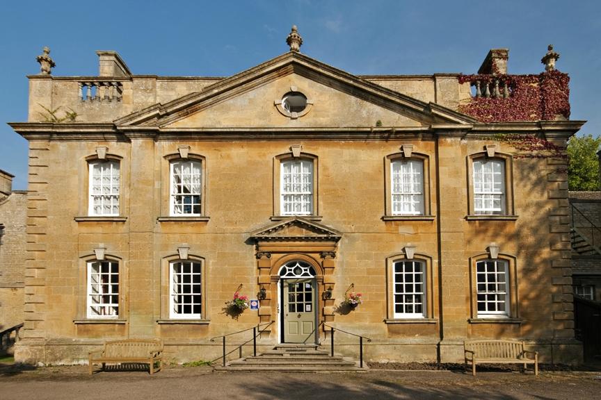


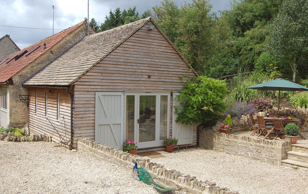
Southwold Barn
Southwold Barn sits in the glorious Cotswold countryside, a large well-kept barn in a gorgeous…

An airy rural walk from a quiet village that owes its existence to medieval trading routes.
Hazleton
4.5 miles (7.2kms)
Hazleton has a strictly rural feel to it. This little village lies on the wool-trading trail linking Chipping Campden, to the north, with the southern Cotswolds. More significantly, it is situated on the route of the ancient Salt Way, which linked the salt workings in Droitwich with the most convenient, navigable point of the Thames at Lechlade, from where the salt could be transported to London.
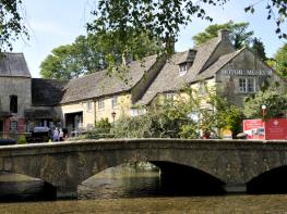
Much of the Cotswolds is linked to clichéd images of impossibly pretty cottages with roses around the door, sleepy pubs and lazy cricket matches, and while that picture is not entirely fanciful, it tends to miss the fact that the area is also characterised by gently undulating hills, or ‘wolds’ – a Saxon word for open downland. The fields crossed on this walk are exceptionally stony, even by Cotswolds standards. Studying them at close quarters, you can understand why medieval farmers favoured rearing sheep to the cultivation of crops. It is easy now to see the nature of wold country: small, sleek hills that five centuries ago would have been grazed by sheep producing wool that was the most highly prized in Europe.
Hazleton’s St Andrew’s Church, near the start of the walk, is well worth a look, with its Norman doorway and 13th-century font. The church was substantially restored by James Medland between 1864 and 1866. The church tower, dating back to about 1721, contains one of 5,000 bells made at the nearby Gloucester foundry.
The walk’s next church, All Saints in Salperton Park, is deep in Cotswold Hunt country, is also worthy of inspection. It has a number of striking features. The most unusual of these, seen to the right as you enter, is a wall-painting of a dancing skeleton wielding a scythe. There are also interesting monuments to the Browne family. The church is set in the 2,000-acre (810ha) estate of Salperton Park, a 17th-century manor house designed by Richard Pace. The parkland is noted for its partridge shooting, a reputation helped by the quality of its beautiful combes, steep banks and secluded valleys.
The walk begins in the southern part of Hazleton, near the barn conversions at Priors Range, formerly Priory Farm (the part you will reach first if approaching from the A40). Look for a signpost to St Andrew’s Church and take the lane, down then up, which passes to the left of the church. Leave the village and church behind by continuing on the lane, to reach a junction. Cross this to join an obvious track opposite.
Remain on the track to pass to the left of a Manor Farm, crossing a drive and then finding yourself in fields with woodland to your right. Keep going in the same direction, and beyond the trees the route strides out across remote, open farmland to a gate carved with ‘Salperton.’ Go through and along a broad, walled track to a lane.
The walk continues along the lane to the right, but to visit Salperton’s church, turn left over a cattle grid, then take the gated driveway immediately to the right. The church stands just a few paces from Salperton Park. The main route turns eastwards along the lane for 0.75 miles (1.2km). Where the hedge on your right comes to an end, about 200yds (183m) before a barn, turn right into a field and walk straight across it to a gap in the boundary.
Go through this and bear half left to another gap leading into the neighbouring field. The right of way runs diagonally across it, but crops may necessitate you skirting the field by keeping to the right-hand perimeter. In the corner turn left and follow the boundary to the point where a marked bridleway crosses your route. Several paces beyond it pass through a gap in the wall on the right and follow the obvious path through the crops to the next perimeter wall. Turn left to walk along the edge of the field, with the wall on your right-hand side. At the bottom turn right by some trees onto a track and walk to the right of Downs Barn.
Continue to a gate and down a track. At the point where fields rise up to the right, bear left to a gate. Go through into the field and follow its right margin, with a stream running beside you, for about 0.25 miles (400m) to reach a junction of paths and tracks. Pass through a gate and go through the first gate on the right, following a bridleway. Stay on the track, eventually passing through the farmyard of Lower Barn. Continue on the rough farm lane, following it uphill and back into Hazleton. St Andrew’s Church can be glimpsed over on the right as you reach the village.
Fields (muddy after ploughing), tracks and lanes
Open wold, small valley, broad views and villages
Off leads over long, empty stretches of land unless requested otherwise by signs
OS Explorer OL45 The Cotswolds
Roadside parking in Hazleton
None on route
Read our tips to look after yourself and the environment when following this walk.
Gloucestershire is home to a variety of landscapes. The Cotswolds, a region of gentle hills, valleys and gem-like villages, roll through the county. To their west is the Severn Plain, watered by Britain’s longest river, and characterised by orchards and farms marked out by hedgerows that blaze with mayflower in the spring, and beyond the Severn are the Forest of Dean and the Wye Valley.
Throughout the county you are never far away from the past. Neolithic burial chambers are widespread, and so too are the remains of Roman villas, many of which retain the fine mosaic work produced by Cirencester workshops. There are several examples of Saxon building, while in the Stroud valleys abandoned mills and canals are the mark left by the Industrial Revolution. Gloucestershire has always been known for its abbeys, but most of them have disappeared or lie in ruins. However, few counties can equal the churches that remain here. These are many and diverse, from the ‘wool’ churches in Chipping Campden and Northleach, to the cathedral at Gloucester, the abbey church at Tewkesbury or remote St Mary’s, standing alone near Dymock.
Discover more than 15,000 professionally rated places to stay, eat and visit from across the UK and Ireland.
Choose a place to stay safe in the knowledge that it has been expertly assessed by trained assessors.
Search by location or the type of place you're visiting to find your next ideal holiday experience.
Read our articles, city guides and recommended things to do for inspiration. We're here to help you explore the UK.