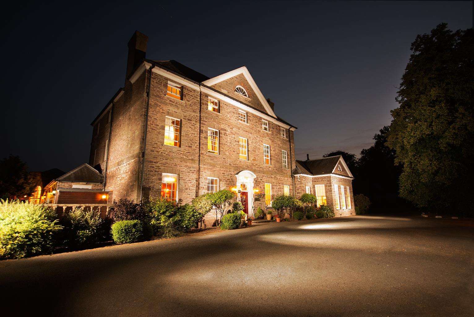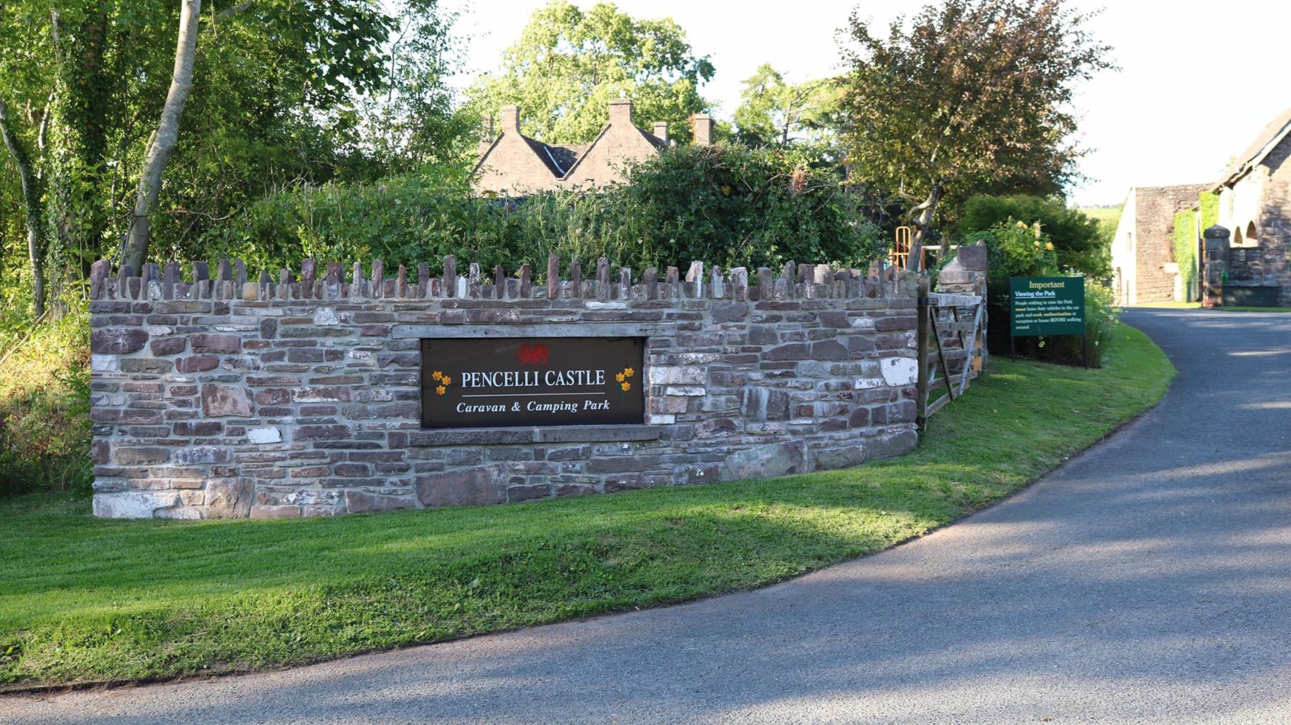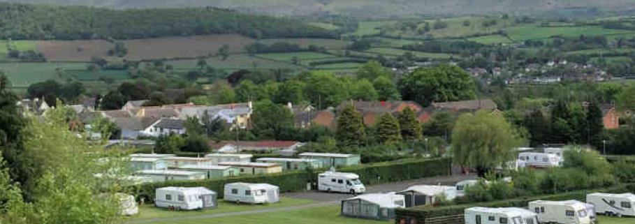

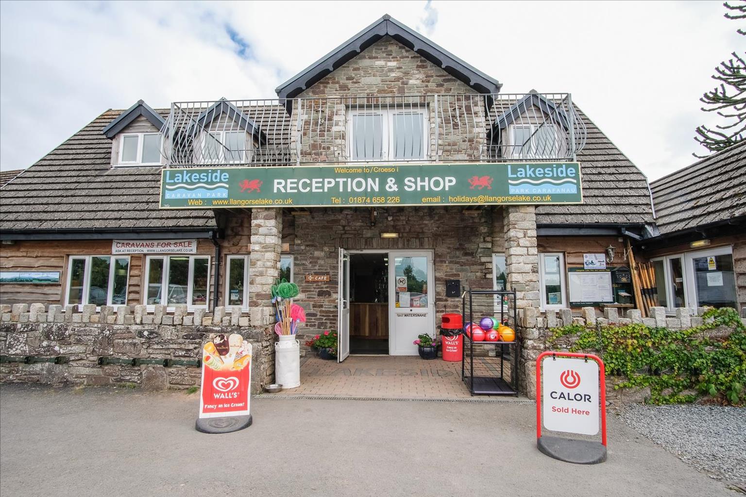
Lakeside Caravan Park
Surrounded by spectacular mountains and set close to Llangorse Lake, with mooring and launching…

Take a short and relaxing stroll around Llangorse – the largest natural lake in South Wales.
Llangorse Lake
3 miles (4.8kms)
This walk is a gentle tramp around the lush meadows that hold South Wales’ largest natural lake, Llangorse. The lake perches on the watershed between the Usk to the south and the Wye, which runs north of the Black Mountains. It’s well known for its ecology and particularly its birdlife, which is protected by a nature reserve on the southern shores. The water attracts a huge number of wintering birds, as well as acting as a stop-off for species that migrate. The reeds lining the lake also provide an important habitat: a dragonfly known asIschnura pumilio, is thought to breed only in one other spot in the UK.
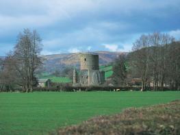
On the lake, you’ll find the only known crannog (manmade island) in all of Wales – and there are none at all in England. Tree-ring dating of the Llangorse crannog has established that it was put together in several stages between 889 and 893 ad. However, it didn’t last long, being destroyed by fire in 916. The Anglo-Saxon Chronicle appears to reveal how this came to pass: ‘Æthelflæd [‘The Lady of the Mercians’] sent an army into Wales and stormed Brecenanmere [Llangorse Lake] and there captured the wife of the king and thirty-three other persons.’ It’s not beyond the realms of imagination that they set light to the island afterwards. Although it’s not possible to visit the crannog as it is too fragile, it is possible to give it a close inspection by hiring a rowing boat or kayak at the lakeside and circumnavigating it. A modern replica crannog, a short distance away, is filled with information and stories about the crannog and the lake that surrounds it.
Several tales have attached themselves to the Lake. The chronicler Giraldus Cambrensis (Gerald of Wales), who visited in 1188, wrote that local people had reported the water turning green – a portent of impending invasion – and that sometimes this was accompanied by scarlet streaks in the water ‘as if blood were flowing along certain currents and eddies’. These are now thought to have been caused by algal blooms or sediments.
From the car park next to the toilets, walk across the access road and continue straight across the Common on a grassy track. This leads to a small footbridge over the Afon Llynfi. Cross the bridge and bear diagonally left to cross the centre of the field towards another small footbridge and stile. Although you are on level ground, the walk has great views over some of the surrounding peaks and on this stretch you’ll see the sloping table top of Pen y Fan clearly ahead in the distance. Continue in the same direction across the next field until you come to a stone wall, which is vaulted by a step stile. Cross this and maintain the same direction. You’ll notice a small copse on your lefthand side and beyond this a dense patch of reeds. At the end of this field, you come to a wooden footbridge. Cross this and the stile to continue in the same direction again. This leads on to a short boardwalk that takes you through a small gate. Keep straight ahead here, to the left-hand edge of the field.
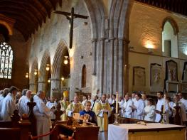
Pass through another gate to continue along the same line. At the end of this field, pass through another gate and join a broad grassy track at a junction. This is Llangasty Nature Reserve and if you turn left here, you’ll come to a hide on your left-hand side. To continue, keep straight ahead, passing through a wide gate with two waymarkers on it. Keep left to walk above a small wood and then, at the end of the wood, bear around to the left on another boardwalk, which leads you to a kissing gate. Go into the wood and cross a footbridge to continue to another kissing gate. Keep ahead here, along the bottom of the field to another gate and maintain your direction to run along a scenic section of the lake shore – a great place to take a break. After passing a few lofty Scots pines you reach yet another gate, by the elegant 19th-century Church of St Gastyn’s. This, along with the nearby school and manor house, were built by Robert Raikes, the originator of the Sunday School in Britain.
Keep ahead here. Turn right on to the lane and continue past the school (Hen Ysgol) and manor house to reach a T-junction. Turn right and continue to a footpath on the right.
This is signposted ‘Calch Ty-Mawr’. Follow the track down towards the farm and bear left, over a stile next to a gate, immediately before the buildings. Continue along the hedge and turn right through a gate. Head down the lefthand edge of the field, passing through two gates, on either side of a track, and carry on in the same direction. At the bottom of the field, you’ll come to your outward route where you turn left, through a gate, and retrace your steps back to the lakeside.
Footpaths over agricultural land and short road section, several stiles
Marshy lakeside surrounded by mountains
Awkward stiles, care needed near livestock and wildfowl
OS Explorer OL13 Brecon Beacons National Park
At Llangorse Lake
At start
<p>In particularly wet periods the Afon Llynfi is liable to burst its banks, making the start of this walk impassable</p>
Read our tips to look after yourself and the environment when following this walk.
The largest unitary authority in Wales, Powys covers an area of approximately 2,000 square miles. Much of that is mountainous because it actually has the lowest population density of all the Welsh counties.
This much wild, empty space is perhaps best typified by the International Dark Sky Reserve in the Brecon Beacons National Park, one of only eleven in the world. The absence of light pollution creates an exceptional spot for star gazing. You won’t find any cities in Powys, just villages and smaller-sized towns, but that’s the way its inhabitants like it.
Newtown, the largest settlement, is perhaps most famous for being the birthplace of Robert Owen, the founder of the Co-operative movement. Brecon is a market town set on the edge of the Brecon Beacons National Park, while the pretty Victorian spa town of Llandrindod Wells boasts the National Cycle Collection. Elsewhere, Hay-on-Wye hosts a major literary festival every year.
Powys is liberally scattered with castles, burial mounds, hill forts, and other historic markers; Powis Castle, near Welshpool is probably one of the most impressive. And for walking enthusiasts, it’s not just the Brecon Beacons on offer – the Elan Valley describes itself as the ‘Welsh Lake District’.
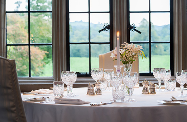
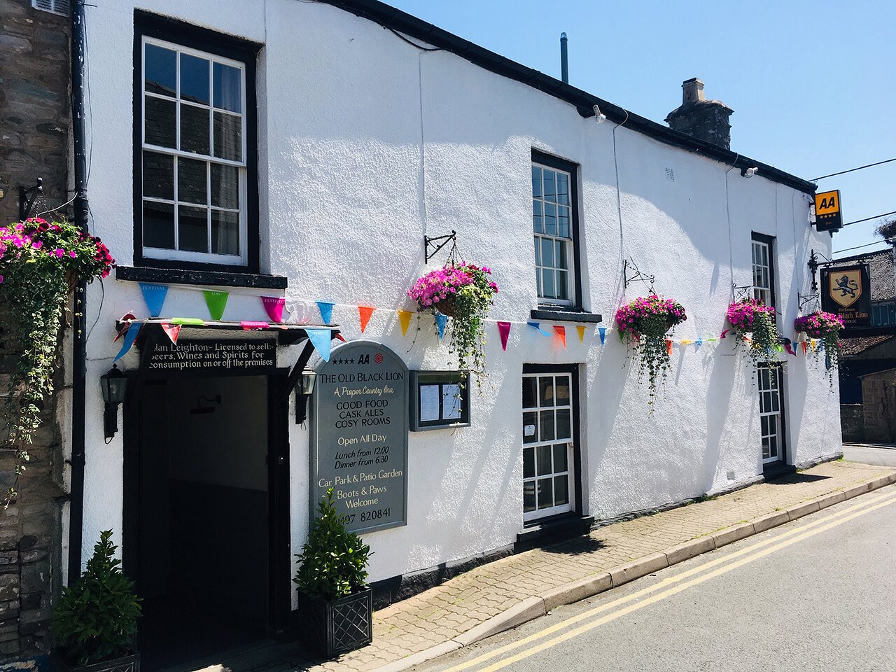
Discover more than 15,000 professionally rated places to stay, eat and visit from across the UK and Ireland.
Choose a place to stay safe in the knowledge that it has been expertly assessed by trained assessors.
Search by location or the type of place you're visiting to find your next ideal holiday experience.
Read our articles, city guides and recommended things to do for inspiration. We're here to help you explore the UK.