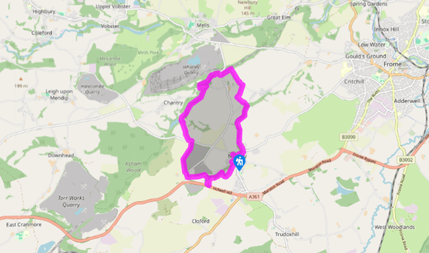
Around Nunney
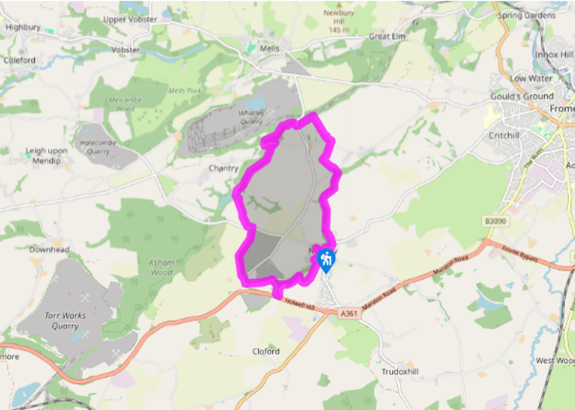
A path leaves the rear, right corner of the car park. Keep right to come out on a street and follow it down into the village. Turn left in front of the Castle Kitchen, walking right past the castle moat and over a bridge to emerge opposite the church. The George lies just to the right, but the onward route is left, soon branching off along Donkey Lane. Where that bends left to Combe Farm, keep ahead through a gate on a wooded track beside Nunney Brook. Stay with this bank for 0.5 mile (800m) before swinging left over a bridge and up to a lane.
Through a kissing gate almost opposite, head upfield to another kissing gate. Walk on, initially by the left hedge, but as it curves away, keep ahead to a stile immediately right of a cottage at the far side. A track leads out past the former Sun Inn to a lane at Whatley. Go left to a bend.

Been on this walk?
Send us photos or a comment about this route. Or recommend a route of your own.

Walking in Safety
Read our tips to look after yourself and the environment when following this walk.

Get an AA guide
Explore our range of ‘50 Walks in’ guides - they’re the ideal companion for a ramble.
Been on this walk?
Send us photos or a comment about this route. Or recommend a route of your own.
Walking in Safety
Read our tips to look after yourself and the environment when following this walk.
Get an AA guide
Explore our range of ‘50 Walks in’ guides - they’re the ideal companion for a ramble.

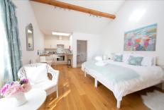
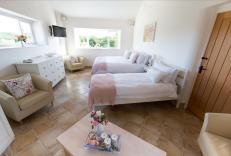
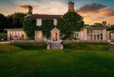
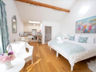
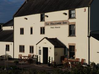
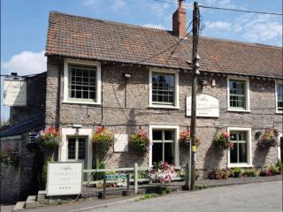
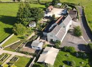
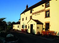
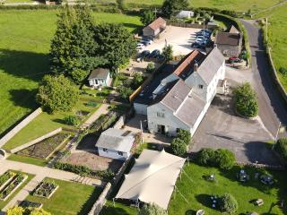
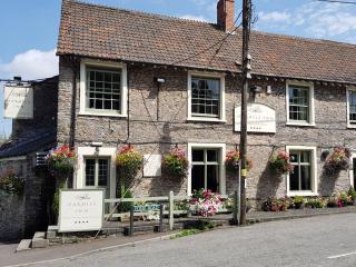
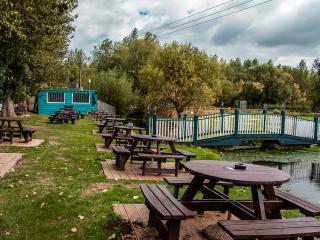
Nearby places to stay
View all (8)