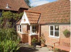
Waxway Farm
Tucked beneath the picturesque East Hill woodlands, Waxway Farm boasts panoramic views across…

There’s more than meets the eye to this quiet East Devon town, situated in the lovely Otter Valley.
Ottery St Mary
3.5 miles (5.7kms)
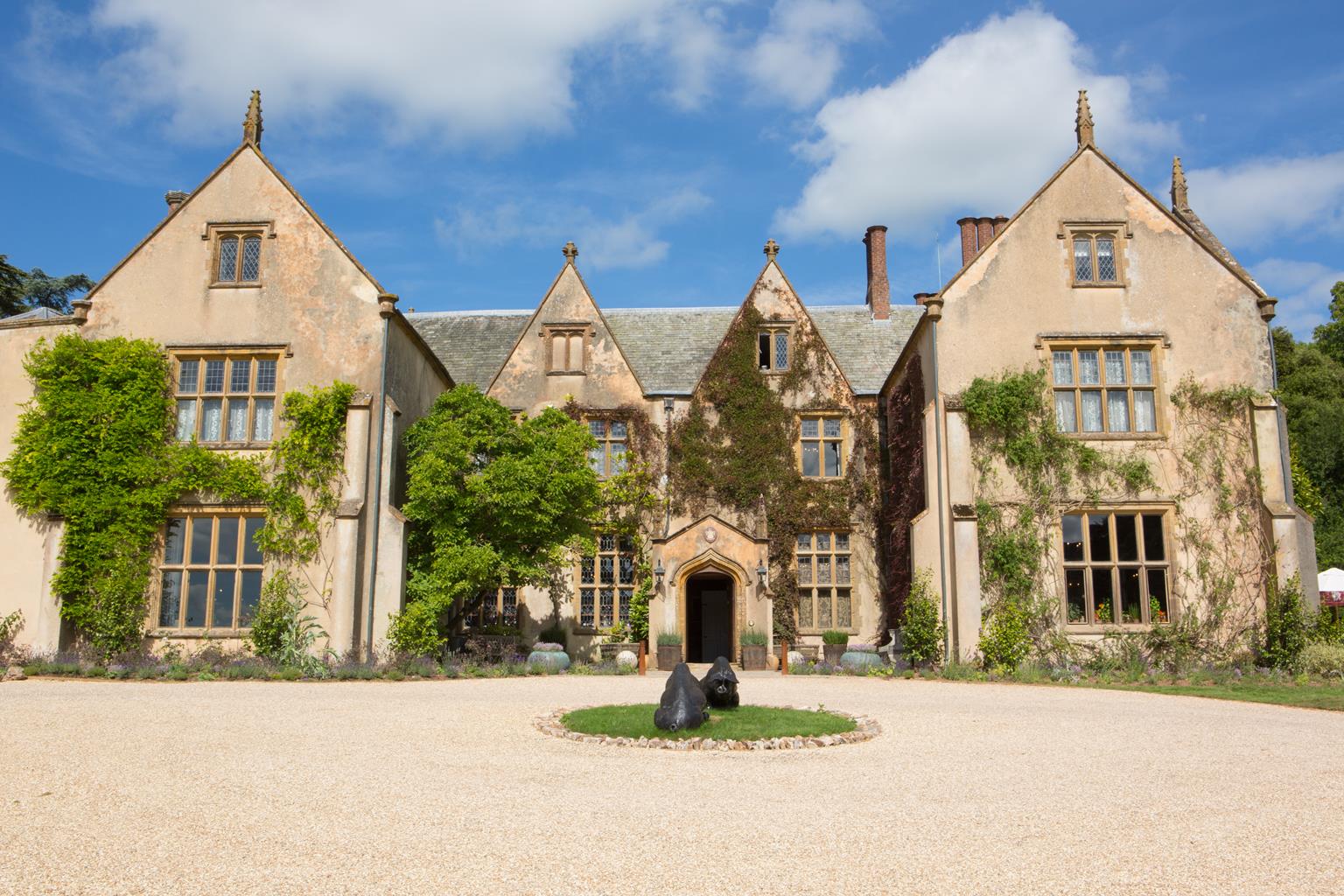
Scratch the surface of the attractive little east Devon town of Ottery St Mary and you’ll be amazed – for literary connections and historic interest, it’s hard to beat. For a start there’s the impressive Church of St Mary of Ottery – the original building here was extended between 1337 and 1342 as a collegiate church along similar lines (though less than half the size) of St Peter’s Cathedral in Exeter. Many of the original buildings, such as the cloisters, chorister’s house and choirboys’ school have now gone; in 1545, at the Dissolution under Henry VIII, St Mary’s became a rather grand parish church. In the 18th century Ottery was a prosperous wool town, as evidenced by the large number of fine Georgian buildings, especially near the church. The Flexton, where the walk starts, was site of the town market and fair, granted by Royal Charter under Henry II in 1226.
Ottery is immensely proud of the fact that the poet and philosopher Samuel Taylor Coleridge was born here in 1772. Fascinating documents on display in the church record the handing over of the nine-year-old boy to Christ’s Hospital on the death of his father, Revd John Coleridge (Master of the King’s School), ‘there to be educated and brought up among other poor children’. Both John and Samuel’s mother Ann are buried in the church. The poet was born in the School House near the church steps, which was demolished in 1884. A plaque on the wall records the event.
From the church steps walk down Silver Street. Follow the lane to reach The Square, off which lanes run in several directions.
Cross the road, turn left and then bear right up Tip Hill (Sidmouth Road), passing through a cutting at the top (there is a pavement on the left).
At the brow of the hill turn left along Longdogs Lane, passing houses and eventually the primary school. The lane drops downhill to a crossroads.
Turn right on a signed bridleway between high hedges. Pass through two bridlegates; the path broadens to a track, passing through a bridlegate by Knightstone Cottages. Keep left at a rounded fork, soon dropping down a track to meet a drive at Knightstone Manor. Keep ahead, with a wall left, across a stream and through iron gates onto a lane.
Turn right and follow the lane to a T-junction. Cross with care, bearing right, and pass through a kissing gate on a footpath. Follow the track along the lower right edge of a field. Eventually pass through a metal gate and drop to a footpath junction.
Bear right and go through a wide gateway (yellow arrow). Keep along the right field-edge to go through a gate and up steps into woodland. The River Otter can be seen left. Follow the narrow path, later climbing steps into a field via a small gate, and turn left.
At the next gate turn left, and descend overgrown steps along the left edge of a rough field, towards a gate/footbridge. Cross over and follow a narrow path through Indian balsam and willow, eventually on to an embankment. Turn right along the bank, which curves left to a kissing gate onto the B3174, opposite the derelict mill.
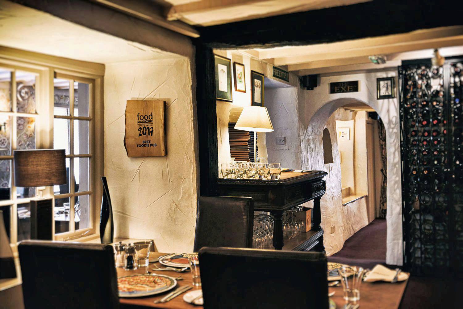
Cross with care and turn left. Just before St Saviour’s Bridge turn right on a tarmac footpath along the riverbank, to the drive of The Tumbling Weir Hotel. Cross over to pass the weir and information panel, then follow the tarmac path along the leat. Turn right on the first bridge. Keep ahead, bearing left past the playground and right at the next junction to meet Canaan Way, opposite Hind Street. Cross over, and where Hind Street bears right towards The Square, turn left along Saddlers Lane. Turn left to return to the church.
Field tracks and paths
Farmland and town paths
Lead required through farmland
OS Explorer 115 Exmouth & Sidmouth
Canaan Way car park off Fairmile Lane (pay-and-display)
The Flexton; Sainsbury's (Hind Street)
Read our tips to look after yourself and the environment when following this walk.
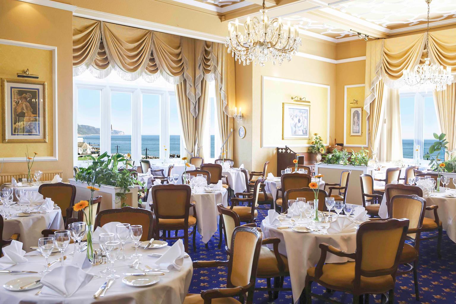
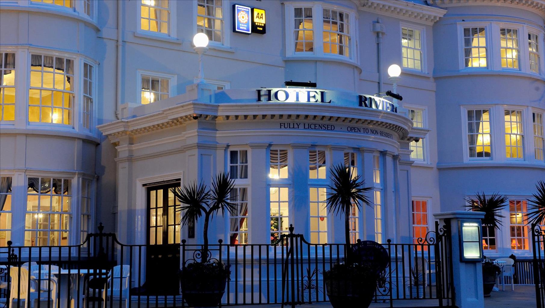
With magnificent coastlines, two historic cities and the world-famous Dartmoor National Park, Devon sums up all that is best about the British landscape. For centuries it has been a fashionable and much loved holiday destination – especially south Devon’s glorious English Riviera.
Close to the English Riviera lies Dartmoor, one of the south-west’s most spectacular landscapes. The National Park, which contains Dartmoor, covers 365 square miles and includes many fascinating geological features – isolated granite tors and two summits exceeding 2,000 feet among them.
Not surprisingly, in Dartmoor the walking opportunities are enormous. Cycling in the two National Parks is also extremely popular and there is a good choice of off-road routes taking you to the heart of Dartmoor and Exmoor. Devon’s towns and cities offer stimulating alternatives to the rigours of the countryside.
Discover more than 15,000 professionally rated places to stay, eat and visit from across the UK and Ireland.
Choose a place to stay safe in the knowledge that it has been expertly assessed by trained assessors.
Search by location or the type of place you're visiting to find your next ideal holiday experience.
Read our articles, city guides and recommended things to do for inspiration. We're here to help you explore the UK.