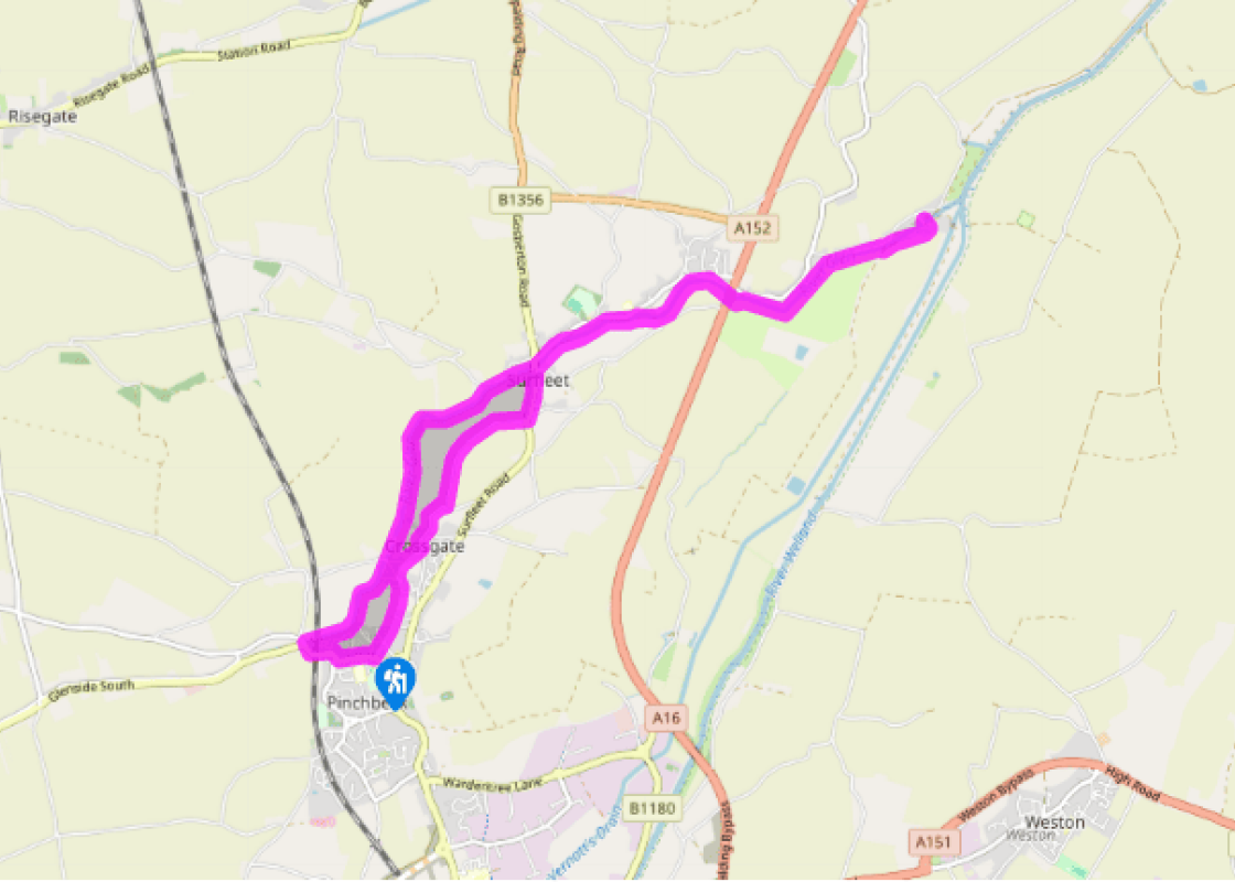
Around Pinchbeck
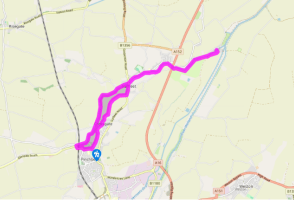
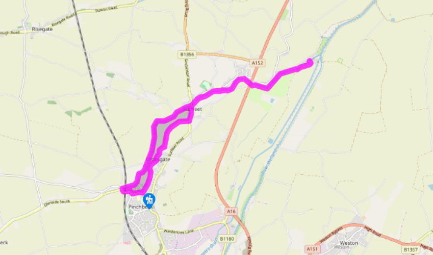
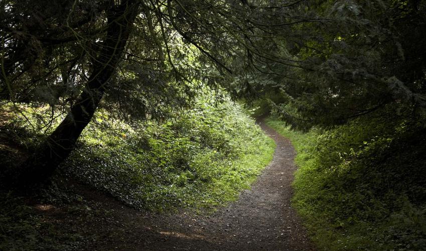
On Knight Street, in Pinchbeck village centre, take an alleyway called Gallery Walk just along from the Spar shop. Go through the staggered metal barriers and follow it to cross the junction of Brownlow Crescent and Bear Lane and continue out beside fields and a ditch. At the lane at the end go left, then in a few paces right, to resume the route between more houses.
At the end of Gallery Walk turn right on to a lane, then branch left on to Bacons Lane (which becomes Cuckoo Lane). Follow this quiet thoroughfare across the fields all the way to the main road on the edge of Surfleet.

Been on this walk?
Send us photos or a comment about this route. Or recommend a route of your own.

Walking in Safety
Read our tips to look after yourself and the environment when following this walk.

Get an AA guide
Explore our range of ‘50 Walks in’ guides - they’re the ideal companion for a ramble.
Been on this walk?
Send us photos or a comment about this route. Or recommend a route of your own.
Walking in Safety
Read our tips to look after yourself and the environment when following this walk.
Get an AA guide
Explore our range of ‘50 Walks in’ guides - they’re the ideal companion for a ramble.
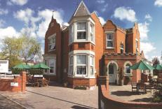
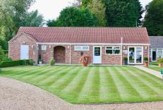
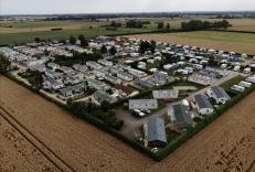
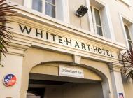
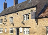
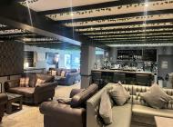
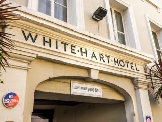
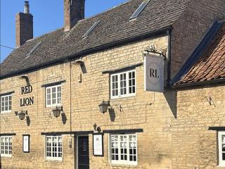
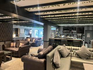
Nearby places to stay
View all (8)