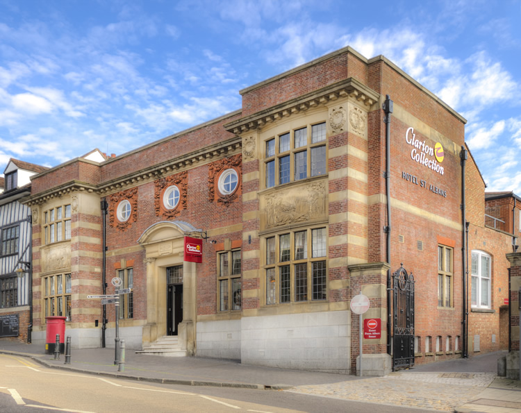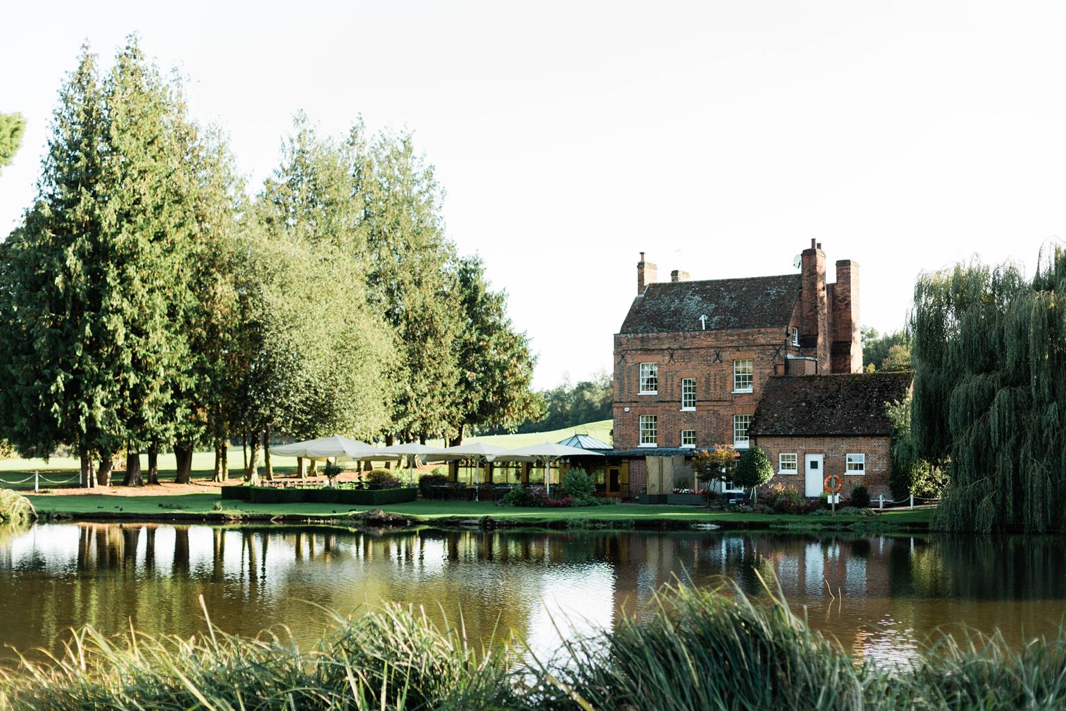

Aubrey Park Hotel
The hotel is conveniently located a short drive from the historic Roman city of St Albans, close…

Redbourn
8 miles (12.9kms)
Redbourn has two distinct elements, Church End and (Watling) Street End, separated from each other by the large common around which are sprinkled old houses and cottages. The oldest settlement was probably around the church but much of the village migrated to the trade route of Watling Street. Although the core is surrounded by modern development, the town’s historic buildings and spaces keep them at arm’s length. The common was once Redbourn Heath, owned by the Abbot of St Albans. It is said the body of St Amphibal had been ‘miraculously’ found on the Heath in 1178. Somewhat unlikely, as Amphibal had been martyred soon after his protégé St Alban, nearly 900 years earlier, but the find was useful to the Abbot. A priory was founded on this site upon the strength of this ‘miracle’ but no trace of the buildings now remains.
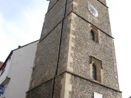
St Mary’s Church is basically Norman with a north aisle added around 1140. A Norman window can be seen inside, unblocked in 19th-century restoration. Unusually, much of the later medieval work is precisely dated; the southeast chapel with its brick parapet (1448–55), the nave clerestory (1478) and the north aisle (rebuilt in 1497). Inside the chancel rood screen was installed and painted from 1478 to 1479.
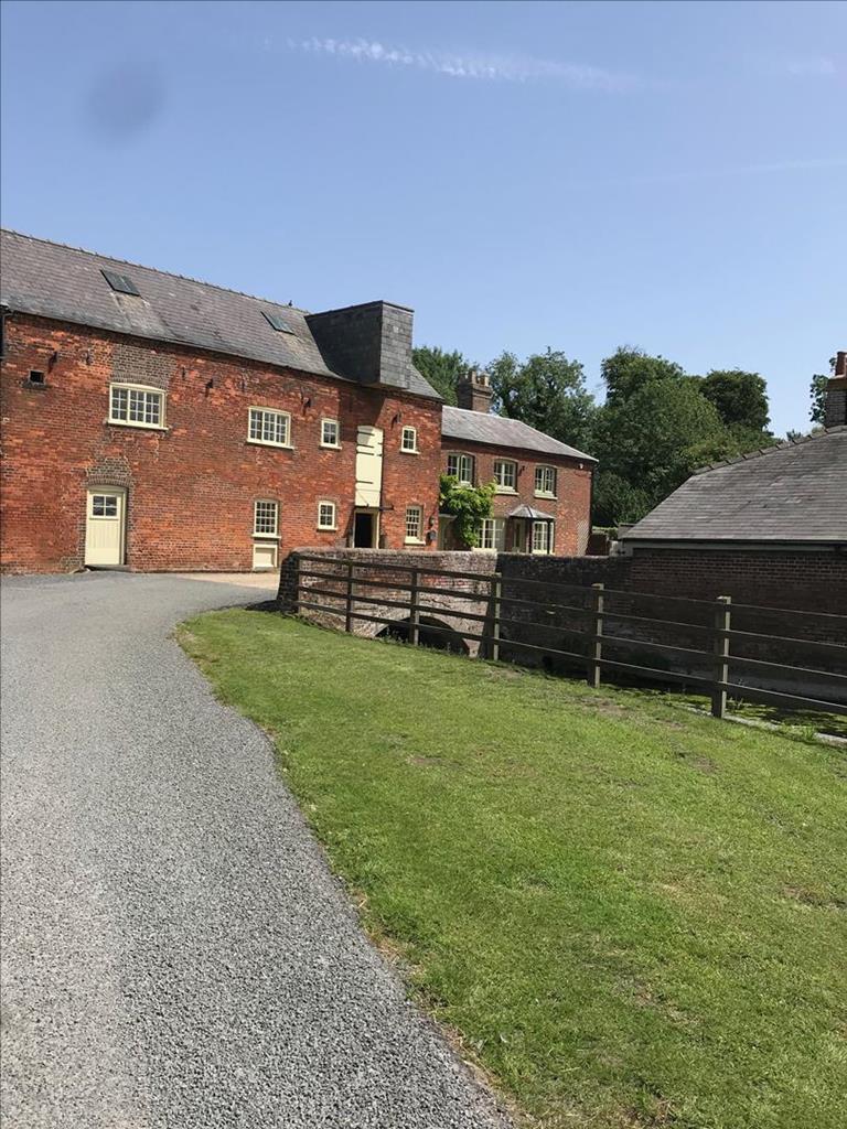
If you cross the River Ver at Redbournbury Watermill on the footbridge beside the ford, the public footpath on the east bank loops around a large farm complex. At its south end you may glimpse what looks like a fairly routine rendered 16th- or 17th-century farmhouse. This is Redbournbury, the manor house that belonged to St Alban’s Abbey and was built in a suitably grand style around 1400. Unlike most farmhouses in Hertfordshire of that period it is a large three-bay hall in flint with stone dressings and a very high-quality arch braced roof, the timbers smoke-blackened from the fire that burned in the middle of the floor, its smoke exiting through a louvered turret rather than a chimney. Redbournbury was probably where Thurstan, Archbishop of York, met Christina, the hermitess known as the 'Lady of the Woods', who wished to succeed another famous hermit, Roger of Markyate Cell, her mentor. Abbot Geoffrey of St Albans was present and shortly after this meeting he founded the nunnery of Markyate. Christina got her wish and was appointed the first prioress in 1145 and is apparently Hertfordshire’s only female saint. There has been a watermill at Redbournbury at least since the time of the Domesday Book in 1087. A noted tenant was Ivy Hawkins, ‘the last lady miller in England’ in Victorian times. Following restoration after a bad fire in 1987, the mill is now fully working again and grinding corn for bread baked on the spot.
From the car park go right into a lime avenue that crosses the common, continuing ahead on a path between high brick garden walls. At High Street bear right and head towards an old steel railway bridge. Just before it go left up steps to join the Nickey Line path, going right over the bridge. At a guidepost go left, on the River Ver Trail, and cross the bypass to continue ahead on a metalled track.
Follow a field path alongside a hedge, then a hedged path beside a pony paddock to a kissing gate. Pass between stables and Hill Stream Barn to a hand gate. Cross the main road and go through a kissing gate. Follow the hedge, then via two kissing gates go along a hedged path which brings you to Redbournbury Watermill.
From the watermill turn right up the lane back to Watling Street (A5183) and go left along the pavement. Shortly cross to Hill Farm Lane, a richly hedged narrow lane winding between cornfields and with glimpses of St Alban’s Abbey away to the left. Pass the access to the timber-framed Bohemia Hill Farmhouse of about 1600 and pass Bohemia House, bearing left up to a mini-stile. Cross the corner of a horse paddock to a kissing gate and across an arable field to reach a lane.
Turn right along the lane and continue ahead, eventually passing under the roar of the M1 motorway to reach a T-junction.
Turn right along the pavement to a lane, signed ‘Private Drive’. Follow this to a gravel drive to a farmhouse and converted barns. Go left, then right round a pony paddock to a stile. Head across an arable field to a guidepost, then descend and pass to the right of a tree clump, shortly descending to the farmyard of Woodend Farm. Pass to the left of an 18th-century tile-roofed barn and descend to a metal field gate.
Beyond the gate go immediately right to rejoin the Nickey Line path. Follow this to bollards and go left along a lane to cross the main road, the B487, into Aubrey Lane. Past a car park on your right there is amid laurels a footpath sign. Go right, with the rampart and ditch of The Aubreys hill fort on your left. Cross the Aubrey Park Hotel drive.
Go through a kissing gate, then follow the path in wildflower-rich grassland beside the fort, then alongside the M1. At a kissing gate go right, the path parallel to a road. Join it to pass beneath the M1, then bear left to a kissing gate. Cross the corner of an arable field to another kissing gate. Go through this and bear left, then at garden fences bear right to walk to St Mary’s Church. From the church follow the lime avenue into Churchend. At its end bear half left on to West Common and follow a lime avenue back to the car park.
Footpaths on disused railway lines, quiet lanes, field paths and streets
Rolling countryside and water-meadows
Keep on lead near cattle, paddocks and farms
OS Explorer 182 St Albans & Hatfield
Car park on West Common in Redbourn
None on route
Read our tips to look after yourself and the environment when following this walk.
As Hertfordshire is so close to London, many of its towns have become commuter havens. St Albans, less than 19 miles (30km) from the capital, has retained its distinctive character, along with many historic remains. The Roman city of Verulamium is situated in a nearby park, and excavations have revealed an amphitheatre, a temple, parts of the city walls and some house foundations. There are also some amazing mosaic pavements.
The abbey church at St Albans is thought to have been built on the same site where St Alban met his martyrdom in the 3rd century. The abbey was founded in 793 by King Offa of Mercia, and contains the saint’s shrine, made of Purbeck marble. Lost for years, it was discovered in the 19th century, in pieces, and restored by the designer of the red telephone box, Sir Giles Gilbert Scott. The abbey also contains some wonderful medieval wall paintings. Nicholas Breakspear was born in St Albans, the son of an abbey tenant. In 1154 he took the name Adrian IV, and became the first, and so far only, English pope. Another famous son of Hertfordshire was Sir Francis Bacon, Elizabethan scholar and Lord High Chancellor, born in Hemel Hempstead in 1561.
Discover more than 15,000 professionally rated places to stay, eat and visit from across the UK and Ireland.
Choose a place to stay safe in the knowledge that it has been expertly assessed by trained assessors.
Search by location or the type of place you're visiting to find your next ideal holiday experience.
Read our articles, city guides and recommended things to do for inspiration. We're here to help you explore the UK.