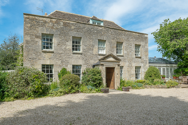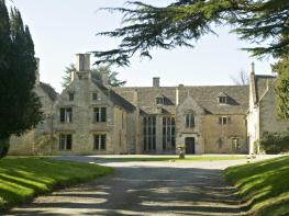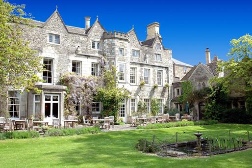

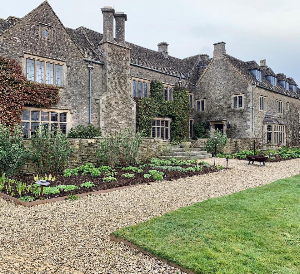
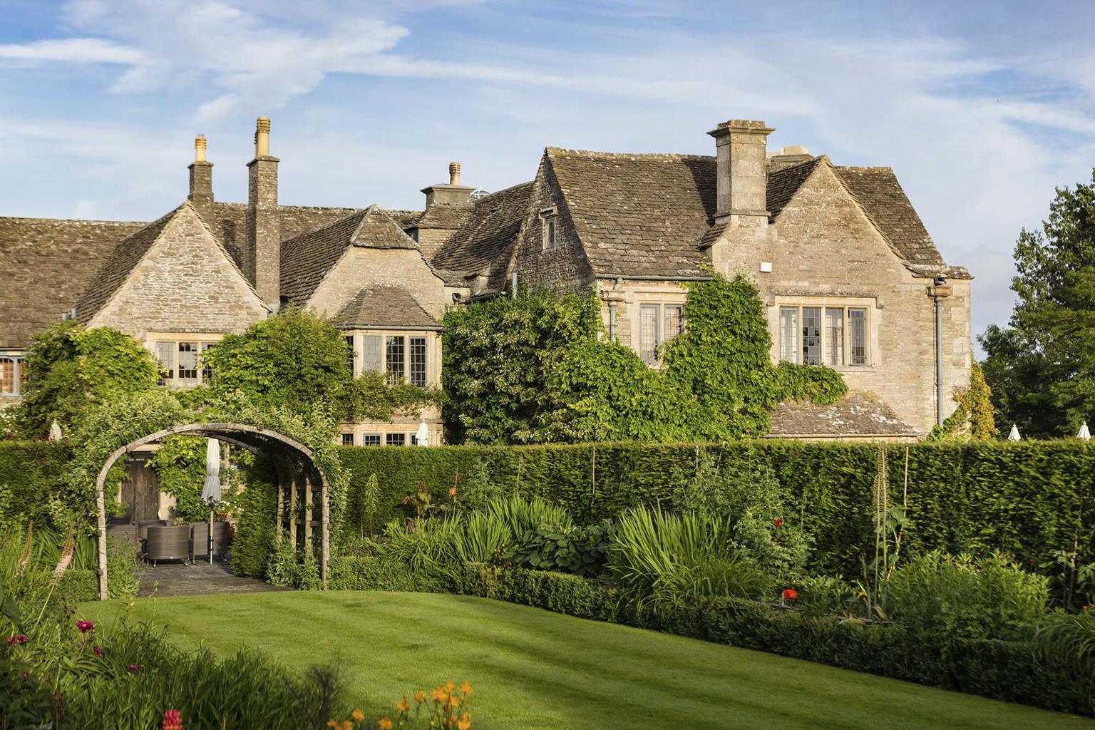

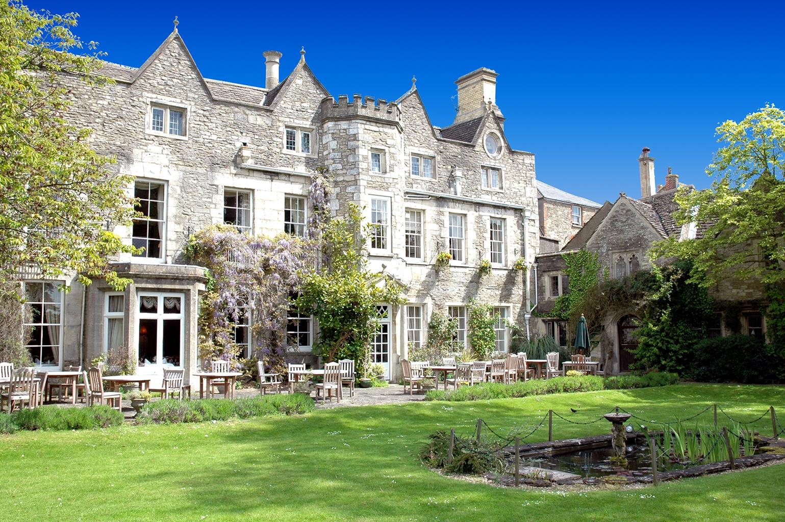
The Close Hotel
Even with its town centre location, The Close Hotel retains a country-house feel that has made…

This handsome Cotswold town has kept its appeal without allowing conservation to leach it out of its character.
Tetbury
3.5 miles (5.7kms)
Tetbury’s early prosperity was based on the wool trade, but in the 18th century industrial demand for fast-flowing water – which Tetbury was unable to provide – led to the town’s decline. One happy consequence of this is that Tetbury has not been blighted by inappropriate development.
Today, Tetbury’s most attractive aspect is its streets of stone houses reflecting all styles and all ages. The centre is built around the Market Place, which is dominated by the pillared Market House. Built in 1655, it was later enlarged to accommodate the town’s fire engine and lock-up. The town’s parish church stands in complete contrast to almost every other church in the Cotswolds. It is a striking example of late 18th-century Georgian Gothic architcture, completed by Francis Hiorne, with a tall spire and an interior that is delicate and simple. Inside, the church has a gallery supported on wooden columns, as well as box pews and several striking monuments from an earlier church.
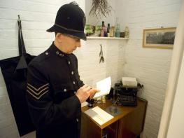
One of Tetbury’s most fascinating attractions is the Police Museum and Courthouse, located in the former police station in Long Street. You can view the old cells, and the museum includes an intriguing collection of relics of Cotswold law enforcement.
Near the start the walk passes Chipping Steps – chipping is an old English word for ‘market’. The area close to the steps, lined with weavers’ cottages, was for centuries the site of ‘Mop Fairs’, where unemployed labourers could offer their services for domestic and farming posts. Over the wall on the right at this point is a street called Gumstool Hill. The hill is used for the annual woolsack races and at one time there was a ducking-stool (or gum-stool) here, used for the punishment of scolding wives. Founded in 1972, the races demand that participants must carry a 60-pound (27kg) sack of wool up and down the hill. The popular event takes place annually on the last bank holiday Monday in May.
From the centre of the town pass the Market House on your right and then The Snooty Fox Hotel. Walk down Chipping Street, which becomes The Chipping, and descend to pass – the steep Chipping Steps on your right.
At a road junction just before The Royal Oak fork right, keeping to the left of the entrance to the Railway Yard car park. Follow the track beside allotments, pass to the left of a transformer station and continue to a kissing gate leading into Preston Park. Go through and walk straight ahead. There are conveniently placed seats at regular intervals. Make for the top of a knoll and then descend on the far side, keeping to the right of a fence to cross a stream via a stone bridge. Continue along the path to a gate. Go through and keep left, crossing the dismantled railway, then head up a bank to another gate.
Pass through it and keep ahead, following a path along a grassy area of shrubs. Follow the path around to the right, then pass between Little Larkhill Cottage and Little Larkhill Farm to join their shared track. Stay on this and follow it all the way to a crossroads of lanes, where you turn right. Stay on the road for 0.5 miles (1.2km) – look for the ruin of a brick-built gun emplacement – and then just beyond a waymarked track on the left, turn right over a stile into a field. This is part of the Palladian Way and the Monarch’s Way.
Follow the field path ahead, keeping to the right-hand boundary of the pasture. Skirt a pond and carry on to find a stile in the corner. Cross the next field to a gate in the right-hand corner, keeping an eye out for the church in Tetbury ahead, and in the next field head for some farm outbuildings. Turn right just before them to a gate. Turn left to walk through the farmyard and continue on a concrete track. Just before the cottages complex of The Folly Farm, make for a stone stile and a metal kissing gate, both under a tree on the right.
Once through these take the fenced path to meet the main road beside the hospital. Turn right along the pavement to a minor road (restricted byway) on the left, just before a bridge. Follow this down to a stone bridge and turn right just beyond it, up to a kissing gate. After 10yds (9m) turn right, taking a path under trees then through a deciduous plantation to a stile. Cross this, continue across a field towards houses by the A433 and cross a stile. Turn sharp right and follow a descending track. Pass through the furthest arch of the bridge, then bear right up a path. Turn right towards the church, then left to return to the centre of Tetbury.
Fields, lanes and tracks; several stiles
Rolling hills, farmland and town
Lead required in town and around livestock
OS Explorer 168 Stroud, Tetbury & Malmesbury
Long-stay car park at Railway Yard; other car parks in town centre
Old Brewery Lane or near The Snooty Fox
Read our tips to look after yourself and the environment when following this walk.
Gloucestershire is home to a variety of landscapes. The Cotswolds, a region of gentle hills, valleys and gem-like villages, roll through the county. To their west is the Severn Plain, watered by Britain’s longest river, and characterised by orchards and farms marked out by hedgerows that blaze with mayflower in the spring, and beyond the Severn are the Forest of Dean and the Wye Valley.
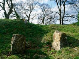
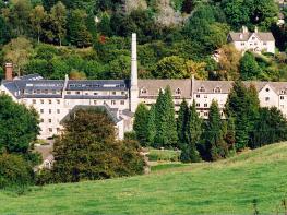
Throughout the county you are never far away from the past. Neolithic burial chambers are widespread, and so too are the remains of Roman villas, many of which retain the fine mosaic work produced by Cirencester workshops. There are several examples of Saxon building, while in the Stroud valleys abandoned mills and canals are the mark left by the Industrial Revolution. Gloucestershire has always been known for its abbeys, but most of them have disappeared or lie in ruins. However, few counties can equal the churches that remain here. These are many and diverse, from the ‘wool’ churches in Chipping Campden and Northleach, to the cathedral at Gloucester, the abbey church at Tewkesbury or remote St Mary’s, standing alone near Dymock.
Discover more than 15,000 professionally rated places to stay, eat and visit from across the UK and Ireland.
Choose a place to stay safe in the knowledge that it has been expertly assessed by trained assessors.
Search by location or the type of place you're visiting to find your next ideal holiday experience.
Read our articles, city guides and recommended things to do for inspiration. We're here to help you explore the UK.