

Around the Alresfords – a watercress walk
Recommended by

"Exploring the 'new' market town at the heart of Hampshire's watercress industry."
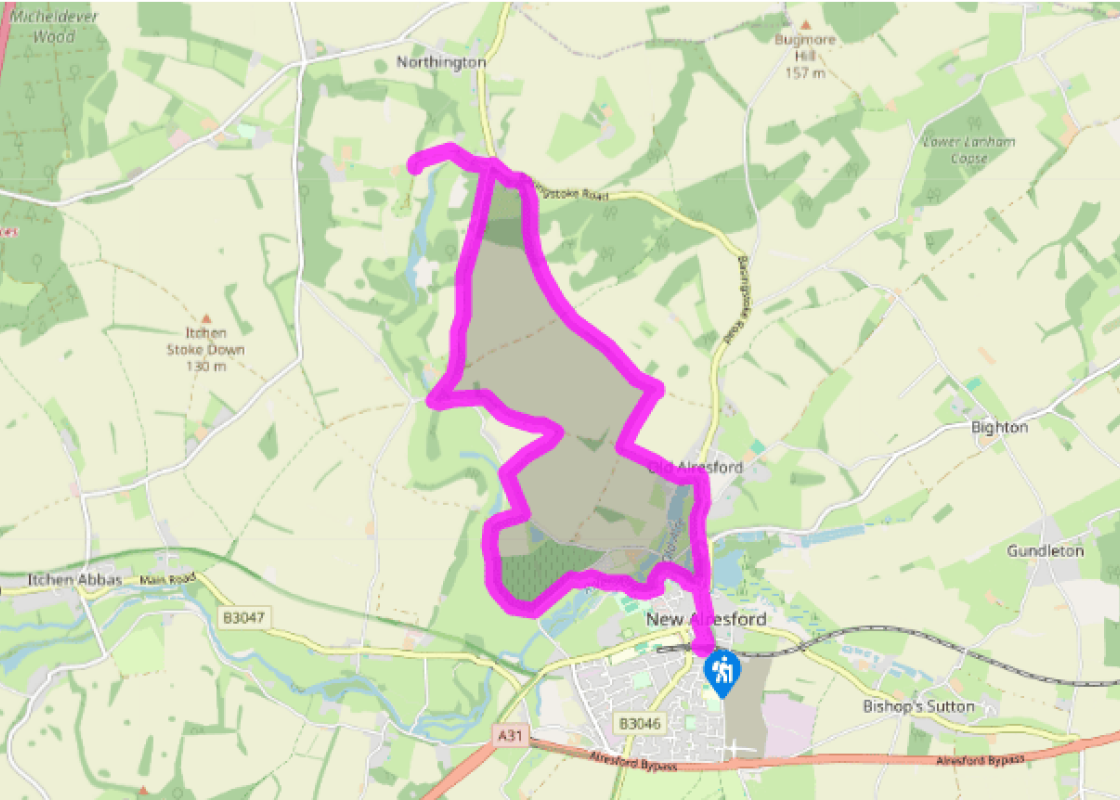
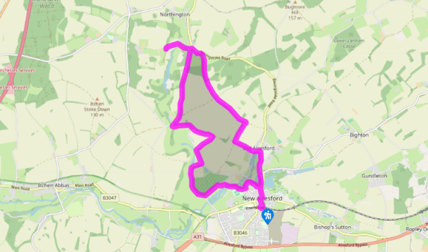
Walk directions
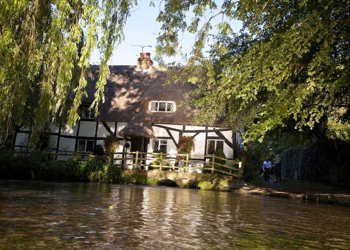
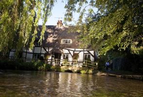
From the car park walk down Station Road to the T-junction with West Street. Turn right, then left down Broad Street and keep left at the bottom along Mill Hill. Halfway down, turn left into Ladywell Lane and soon after join the river bank and pass the attractive timbered and thatched Fulling Mill Cottage which straddles the River Arle.
Continue to the bottom of Dean Lane and turn right to keep to the riverside path. Cross a footbridge over the river at the redbrick Eel House, and ascend to pass a modern home, Drove House. Continue along a fenced path and then, on meeting the concrete driveway, turn right up it to the lane. Turn left at the lane and, as it bends left, fork right onto the Wayfarer’s Walk and follow it to a junction of tracks. Bear right uphill to a lane beside Pinglestone Barn.
View all directions
Additional information
Terrain
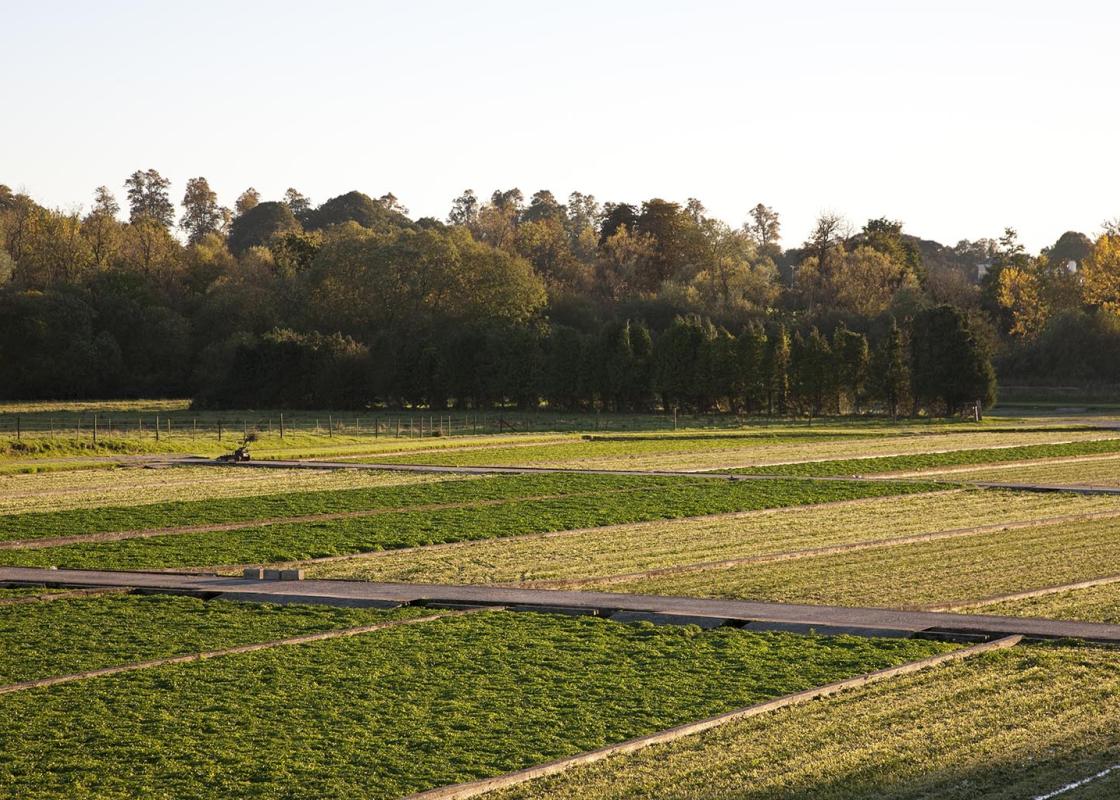
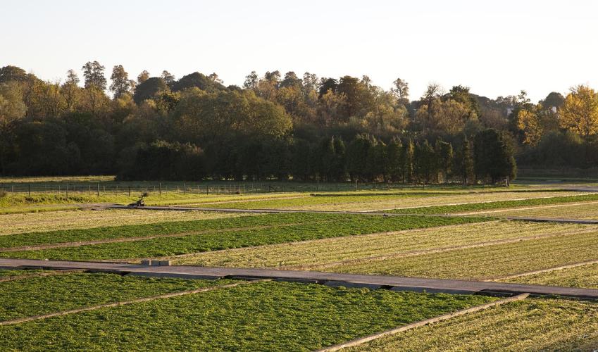
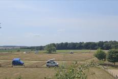
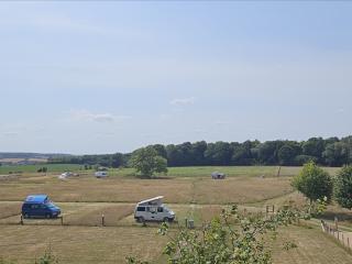
- Riverside paths, tracks, field, woodland paths and roads
Landscape
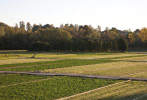
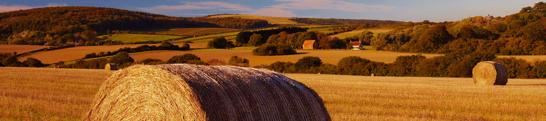
- River valley and undulating farmland dotted with woodland
Dog friendliness
- Keep dogs under control
Parking
- Pay-and-display car park off Station Road, New Alresford
Toilets en route
- Station Road, New Alresford
About the walk
New Alresford (pronounced Allsford) is not very new at all. In fact, this delightful place, one of Hampshire’s most picturesque small towns, was ‘new’ in 1200, when Godfrey de Lucy, Bishop of Winchester, wanted to expand the original Alresford — Old Alresford. He dammed the River Arle, creating a...
Read more

Been on this walk?
Send us photos or a comment about this route. Or recommend a route of your own.

Walking in Safety
Read our tips to look after yourself and the environment when following this walk.

Get an AA guide
Explore our range of ‘50 Walks in’ guides - they’re the ideal companion for a ramble.
Been on this walk?
Send us photos or a comment about this route. Or recommend a route of your own.
Walking in Safety
Read our tips to look after yourself and the environment when following this walk.
Get an AA guide
Explore our range of ‘50 Walks in’ guides - they’re the ideal companion for a ramble.
About the area
Hampshire’s varied landscape of hills and heaths, downlands and forests, valleys and coast are without rival in southern England. Hike across the chalk downland of the north Hampshire ‘highlands’, meander along peaceful paths through unspoilt river valleys of the Test, Itchen, Avon and Meon, or explore the lonely salt marshes and the beautiful medieval forest and heathland of the New Forest.
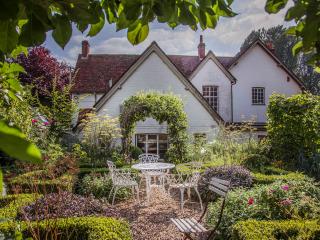
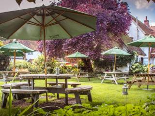
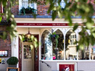
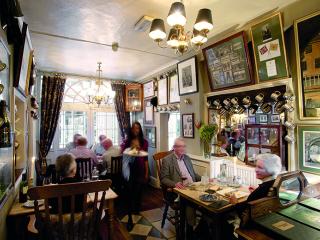
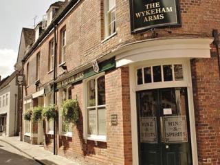
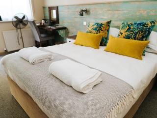
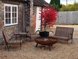
Nearby places to stay
View all (8)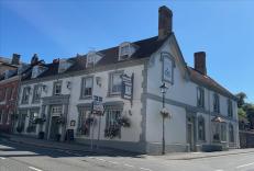


Nearby places to stay
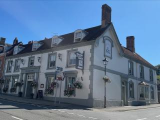
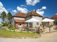
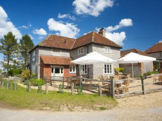
The Swan Hotel
The Swan Inn is a former coaching inn dating back to the 18th century and remains a busy and popular destination for visitors and locals alike. Bedrooms are situated in both the main bu...
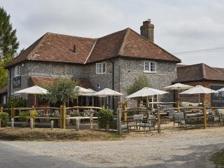
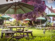
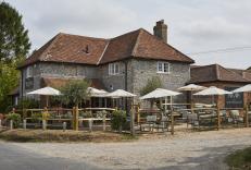
The Woolpack Inn
An attractive country inn, tucked away in Hampshire's Candover Valley, offers a traditional atmosphere and bags of character. The flint and brick building dates back to 1880 and many or...
Two Hoots Glamping, Caravan Park & Campsite
Two Hoots Glamping, Caravan Park & Campsite is a small, very peaceful adults-only campsite offering spacious, grassy pitches for caravans and tents in a rural hilltop location close to ...
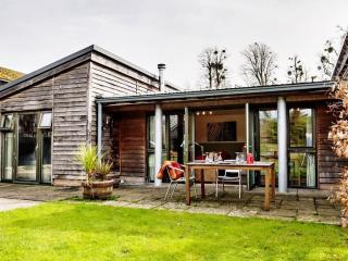
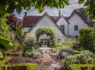
West Cottage
West Cottage is a single storey ‘eco build’ in a peaceful location by the River Itchen, between Winchester and New Alresford. It sleeps 3 and neighbouring East Cottage sleeps 7+1 – they...
Park Farm Cottages
Park Farm Cottages are single storey ‘Eco builds’ in a peaceful location by the River Itchen, between Winchester and New Alresford. East Cottage (sleeps 7+1) and West Cottage (sleeps 3)...
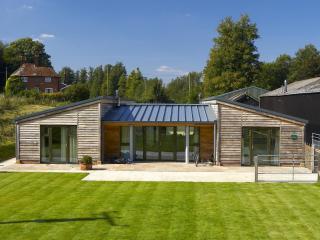
East Cottage
East Cottage is a single storey ‘eco build’ in a peaceful location by the River Itchen, between Winchester and New Alresford. It sleeps 7+1 and neighbouring West Cottage sleeps 3 – they...

voco Winchester Hotel & Spa
voco Winchester Hotel is on the edge of the South Downs National Park, within easy reach of the historic city of Winchester. It provides style and comfort to all whether for an overnigh...
Northbrook Arms
The well-appointed cottages at the Northbrook Arms are located in the pretty village of East Stratton, Hampshire and sleep 8, 6 or 2 guests. Attractions in the area include the city of ...
Places to eat nearby View all