

Harlow International Hostel
Harlow International Hostel is situated adjacent to a landscaped park and is one of the oldest…

Hunsdon
56.75 miles (10.9kms)
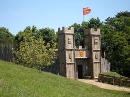
This walk focuses on the great estate of Hunsdon, whose glory days were in the Tudor age. The poorly-drained boulder clay hereabouts proved ideal for the semi-wild hunting park landscape favoured in medieval and Tudor times. A hunting park was created here after the Norman Conquest. Its earliest known royal connection dates from 1445, when Richard, Duke of York, was permitted to enlarge the park. In 1447 he was licensed to build a tower of stone and crenellate it, royal consent being needed to construct any battlements. However, that year the estate passed to Sir John Oldhall, who duly built the mansion with a tower 100ft (30m) high by 80ft (24m) square.
By 1527 the house and estate were owned by Henry VIII. He increased the number of hunting parks to three and is recorded as personally killing two stags there in 1532. He spent a great deal of money on Hunsdon House, the shape being an early example of the 'E-plan'. When Elizabeth I granted the estate to Sir Henry Carey in 1559 it must have been a very substantial mansion. Carey, who took the title Baron Hunsdon, was one of the Queen's most important advisors. A blunt and direct soldier, a jouster, Governor of Berwick and Privy Councillor, he was Elizabeth's first cousin. His mother was Mary Boleyn, sister of the Queen's mother, Ann Boleyn. There is a famous painting of the Queen arriving in procession at a very fanciful Hunsdon in about 1580. This was truly the golden age of Hunsdon House for in 1653, after the Civil War, the Royalist Lord Hunsdon had to sell the estate. The Hertfordshire brewing family, the Calverts, set out to rebuild the house but faltered, and the centre and south wings were demolished in 1804. The present house, three storeys high and battlemented, is based around the 1447 structure and the Tudor north wing. Most of the external walls incorporate original brickwork, as far as the middle of the second storey.
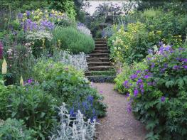
The park is now a shadow of it former self, just a small area by the house. Near the start of the walk is Hunsdon Lodge Farm; the lodge in question was demolished in 1946. It may have been a hunting lodge in the northernmost of the three royal parks, but now stands amid cloying arable farmland and an old World War II airfield. You get a partial view of Hunsdon House from the parish churchyard. The church itself, well to the south of the village, has notable monuments and a sumptuous Jacobean screen in the south chapel. Both the south chapel and the north chapel are in Tudor brick, while the rest of the building is in flint with stone dressings from the early and late 15th century.
Walk east along the High Street. At the pump bear right into Drury Lane. At its end go through a kissing gate by a pond to the Gilston Park Estate, then straight ahead on a farm access track between arable fields and the remnants of a lime avenue. The path skirts to the left of Hunsdon Lodge Farm, then runs through more cultivated fields, bearing right to cross a track and enter woodland, passing a pillbox within the wood. Once out of the woods cross a concrete road (with a copse to your right) and go straight on.
A third of the way across this field, at a waymarker post marking a T-junction of footpaths, turn right and descend the arable prairie to a concrete road. Cross this and head for the right-hand end of a vestigial hedgerow. Here, you join a track which becomes a green lane. It descends, with a stream shortly appearing on the right hand side. At a lane turn right by a footpath sign to Acorn Street and Hunsdon. Just before Eastwick Hall Farm turn left on to a grassy path and follow the field edge.
Descend alongside a hedge. By the pylon bear left and follow the field edge to the road. The horse-grazed paddocks on each side contain the earthworks of Eastwick Manor, which burnt down in the 1840s.
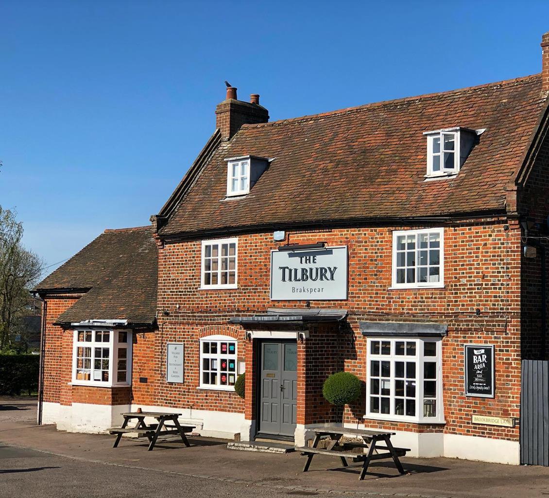
At the lane turn right and descend to a crossroads, by the pub in Eastwick village. After visiting St Botolph’s Church, enter a paddock via a kissing gate, immediately behind the war memorial, and walk up the slope to another kissing gate. Cross the field, in the slight hollow, to a ditch between fields and then straight across the next field.
Pass through a gap in the hedge and turn half left to the top corner of this narrow field. Follow the hedge line, on your left hand side, under the electricity power line and straight on, before the path enters a corridor of trees, continue ahead until you meet a concrete road.
Turn left on the concrete road and when it bears right after 65yds (60m) continue straight ahead on the well-defined path snaking through the trees and bushes. Follow the path, turning right at a fenced field and over a footbridge beside a fishing lake. Continue through the next field and over a stile to the road.
Turn right on the road and follow the pavement back to Hunsdon village.
Trackless arable ground, paths, canal tow path, verges and pavements
Undulating London clay country on Essex borders
On lead near roads and livestock; some livestock-free, arable countryside
OS Explorer 194 Hertford & Bishop’s Stortford
Along High Street, Hunsdon, near and west of The Crown pub
None on route
Read our tips to look after yourself and the environment when following this walk.
As Hertfordshire is so close to London, many of its towns have become commuter havens. St Albans, less than 19 miles (30km) from the capital, has retained its distinctive character, along with many historic remains. The Roman city of Verulamium is situated in a nearby park, and excavations have revealed an amphitheatre, a temple, parts of the city walls and some house foundations. There are also some amazing mosaic pavements.
The abbey church at St Albans is thought to have been built on the same site where St Alban met his martyrdom in the 3rd century. The abbey was founded in 793 by King Offa of Mercia, and contains the saint’s shrine, made of Purbeck marble. Lost for years, it was discovered in the 19th century, in pieces, and restored by the designer of the red telephone box, Sir Giles Gilbert Scott. The abbey also contains some wonderful medieval wall paintings. Nicholas Breakspear was born in St Albans, the son of an abbey tenant. In 1154 he took the name Adrian IV, and became the first, and so far only, English pope. Another famous son of Hertfordshire was Sir Francis Bacon, Elizabethan scholar and Lord High Chancellor, born in Hemel Hempstead in 1561.
Discover more than 15,000 professionally rated places to stay, eat and visit from across the UK and Ireland.
Choose a place to stay safe in the knowledge that it has been expertly assessed by trained assessors.
Search by location or the type of place you're visiting to find your next ideal holiday experience.
Read our articles, city guides and recommended things to do for inspiration. We're here to help you explore the UK.