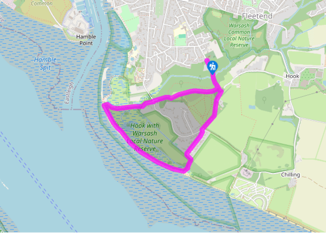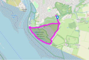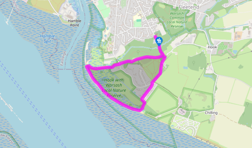
Around Warsash
Continue down Church Road with St Mary’s on your left and keep ahead onto the waymarked off-road cycle trail. The trail drops gently, shaded by trees and rhododendrons, then crosses a stream and climbs to a crossways. Keep ahead for 50yds (46m) to a T-junction.
Turn right onto the rutted gravel track, pass a couple of houses on your left and continue onto a residential road. A few paces further on, turn left into Cowes Lane. Follow this pleasant tree-lined road, keep ahead onto a gravelled private road and continue along the waymarked footpath that bends left at the entrance to Hook-with-Warsash Nature Reserve. Go through a kissing gate and bend right, then cross a footbridge to reach the coastal path at a second kissing gate.

Been on this walk?
Send us photos or a comment about this route. Or recommend a route of your own.

Walking in Safety
Read our tips to look after yourself and the environment when following this walk.

Get an AA guide
Explore our range of ‘50 Walks in’ guides - they’re the ideal companion for a ramble.
Been on this walk?
Send us photos or a comment about this route. Or recommend a route of your own.
Walking in Safety
Read our tips to look after yourself and the environment when following this walk.
Get an AA guide
Explore our range of ‘50 Walks in’ guides - they’re the ideal companion for a ramble.
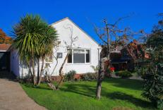
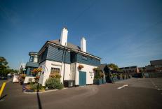
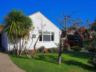
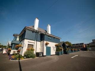
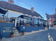
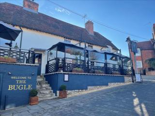
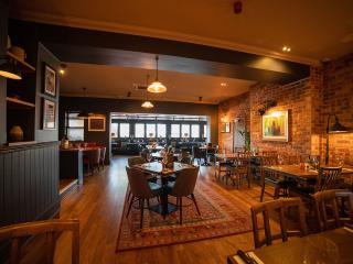
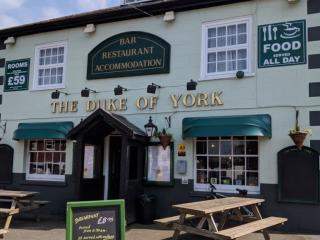
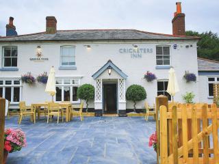
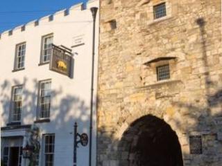
Nearby places to stay
View all (8)