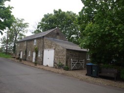


Black Dog House
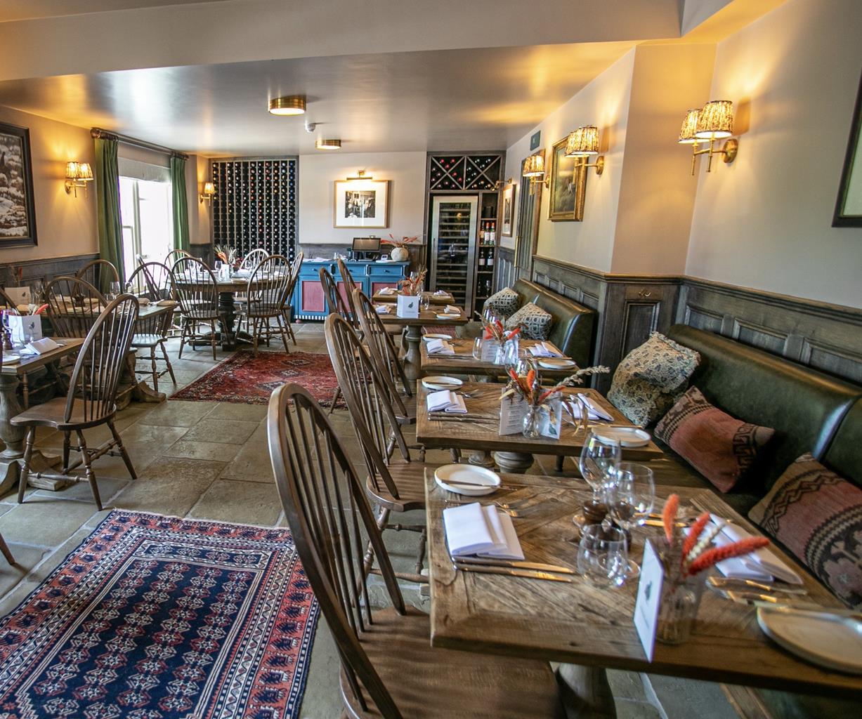
Black Dog House is ideal for couples, groups of friends or families. It’s actually two 19th-…

Westgate
7.5 miles (12.1kms)
When you go over the 2,000ft (610m) watershed on the moors between Allendale and Weardale you cross into Durham, the land of the Prince Bishops. Like Allendale, upper Weardale earned its riches from mining, quarrying and farming. Both valleys have the scars to show for it, and attractive hillside pastures with crazed web-like patterns of dry-stone walls. However, while Allendale has few villages along its length, Weardale has many charming villages built out of local stone and delightful flower-filled fields that dip into the river.
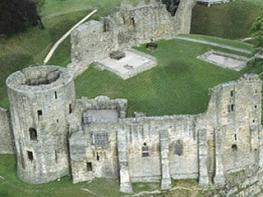
Westgate, where the walk starts, marked the western extremity of the Forest Quarter, also known as the Bishops’ Park. Here the Prince Bishops hunted for deer, supplying venison for their kitchens. It was said in the 16th century that they hunted with such enthusiasm that the deer population was almost wiped out. These powerful churchmen reigned from the early Norman times right through to the 1830s.
The River Wear is your guide as field paths head up the valley to St John’s Chapel. This is a larger village with a fine Georgian church and rows of well-to-do cottages. Now you climb the hillsides and turn eastwards along a country road. It may be tarmac, but this 2-mile (3.2km) quiet lane enjoys subtly changing views that are as good as any in the county. Now you can see how green Weardale is, a vivid green that contrasts with the stark high moors of Chapel Fell and Westerhope. The lane ends and an old cart track takes you up onto the moors, then down into a lonely side valley that once would have reverberated to the sounds of the Middlehope lead mine. The abutment of an old bridge is a relic from a former mine railway that connected Westgate with the mines of Rookhope. Here you follow the stream to the Slit Mines. The shaft, at 585ft (178m), is the one of the deepest in Weardale, while the Slit lead vein at 14 miles (22.5km), is the valley’s longest.
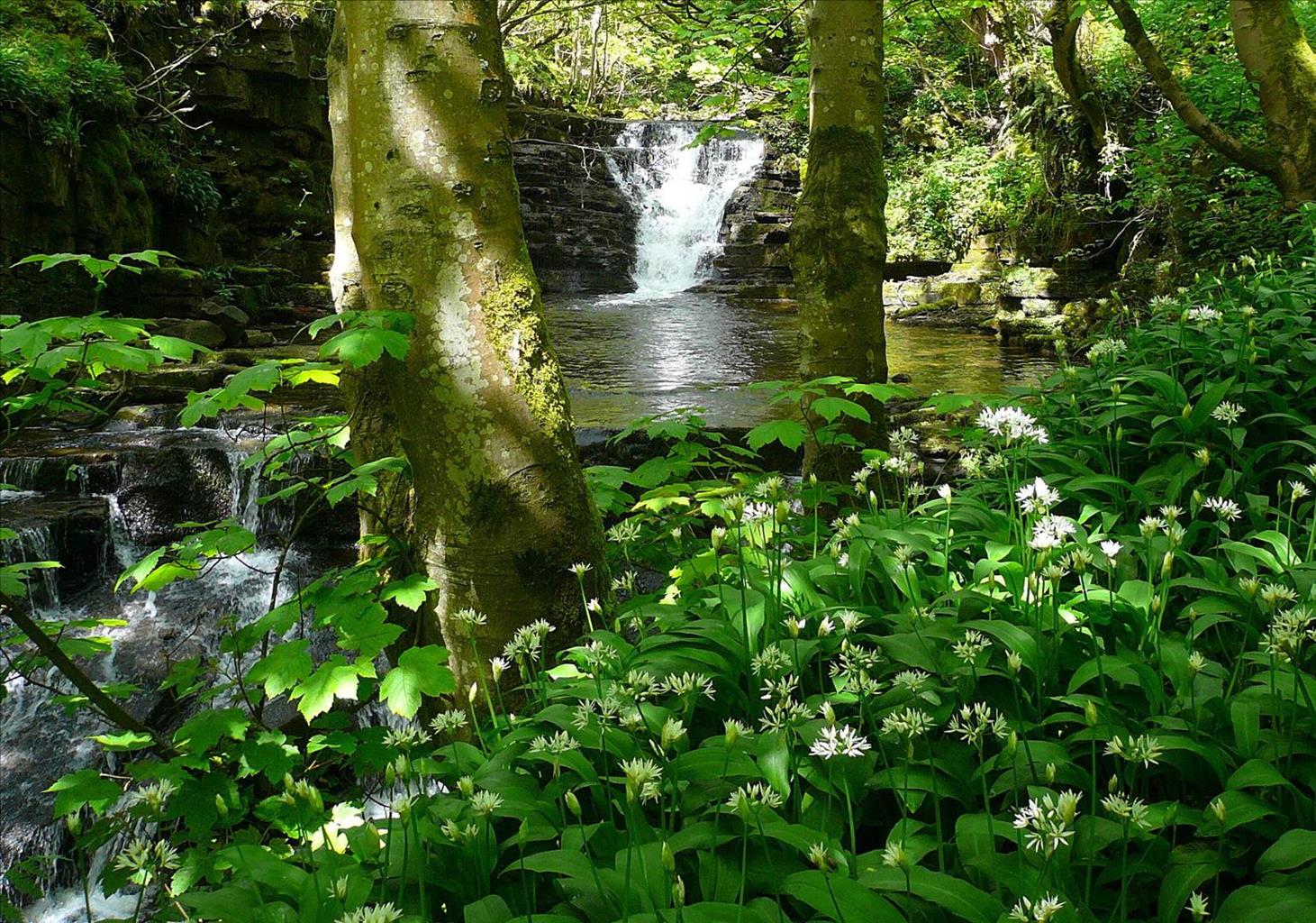
The valley, so far, has been a shaly one, but now it narrows and has harder limestone rock surfaces. The river gets playful and tumbles down in a series of waterfalls. You are entering Slit Woods, a Site of Special Scientific Interest (SSSI). The footpath weaves its way through this ancient woodland, a place filled with oaks and rowans, wild strawberries and ransoms. Like many old woods you’ll see dog’s mercury, wood anemone and wood sorrel, a low creeping perennial with pretty lilac-tinged white flowers. It’s a wonderful way into Westgate and a fitting finale for a memorable walk.
From the car park, turn right towards the village. Approaching the bridge, drop left to a riverside path and follow it upstream. Later emerging into a field, keep ahead through a couple of gates to a lane. Take the track opposite beside cottages to a kissing gate. Continue across grazing towards more cottages, leaving along a track past them. Where it bends left, bear right through a gate, crossing a small garden to a footbridge. Over a ladder stile, carry on beside the River Wear, eventually climbing steps to the A689 at Daddryshield Bridge.
The path continues opposite, returning to follow the river. Ultimately meeting a narrow lane beside a ford and footbridge, swing away from the river, keeping left at a fork to reach the main road in St John's Chapel. Turn right and walk through the village.
Approaching the far end of the village, bear right at a footpath sign on a track, dropping beneath an old railway bridge to a ford and footbridge. On the far bank wind left then right up to a cottage. Turn left beside it and keep ahead over a small bridge. Go through a kissing gate and carry on along the edge of a couple of fields above the river. Beyond a squeeze stile in the corner, join a path arriving over a bridge. Continue beside the river for another 0.25 miles (400m) to emerge onto a lane next to Coronation Bridge.
Climb steeply right to New House, ignoring a junction and rounding a sharp right-hand bend to a fork.
Bear right along the lane and follow this for 2 miles (3.2km), keeping left at a later fork to its ultimate end.
Follow a walled track left uphill for 0.5 miles (800m) before turning right at a junction. Descend steeply to Middlehope Burn. (If the burn is impassable, retrace your steps back to the junction of paths at the end of the lane. Continue straight ahead, following a track that takes you down the fields past Low Crooked Well and to the A689 where you turn left back to Westgate and the car park.)
Unless there's been heavy rain, you should get across dry-shod to a grass track leading away right. Keep ahead where it swings sharply left to follow a signed footpath down the valley. Stay on the left bank past the Slit Mine site, although lower down the path briefly switches to the opposite bank.
Finally emerge past cottages onto a lane and turn right back to the village. Turn left and right, crossing the River Wear to the car park.
Field paths, tracks and country lanes, 5 stiles
Riverside meadow, moor and woods
Should be on leads
OS Explorers OL31 North Pennines and 307 Consett & Derwent Reservoir
By river at Westgate
In the village of St John's Chapel
<p>After heavy rain Middlehope Burn may be impassable. If so, you will have to retrace your steps along Seeingsike Road and follow the alternative route.</p>
Read our tips to look after yourself and the environment when following this walk.
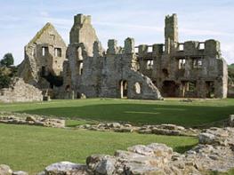
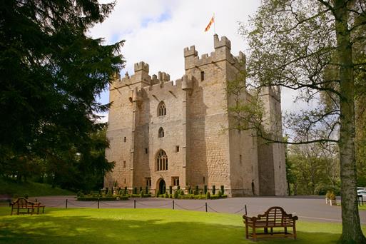
If the Prince-Bishops of Durham had set out to make their cathedral the greatest tourist attraction in the northeast, they could not have done better. In a sense, that is exactly what they did set out to do. For some five centuries, until the Protestant Reformation, pilgrimages were big business. The bones of St Cuthbert and the skull of St Oswald attracted the halt (disabled), the lame and the old to Durham in the hope of a miraculous healing.
The cathedral and the castle were what Durham was all about, from the early Middle Ages onwards, but even without these landmarks the city of Durham would be spectacular. From whichever side you approach, Durham is a magnificent sight. It’s a city that needs to be explored the hard way – on foot.
Discover more than 15,000 professionally rated places to stay, eat and visit from across the UK and Ireland.
Choose a place to stay safe in the knowledge that it has been expertly assessed by trained assessors.
Search by location or the type of place you're visiting to find your next ideal holiday experience.
Read our articles, city guides and recommended things to do for inspiration. We're here to help you explore the UK.