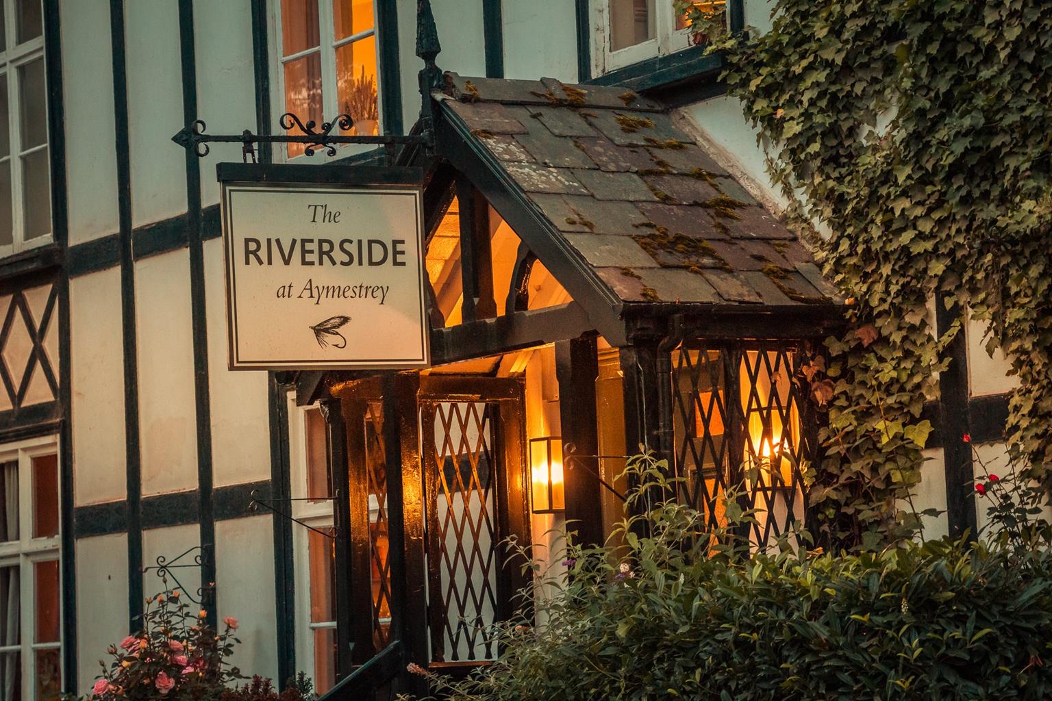
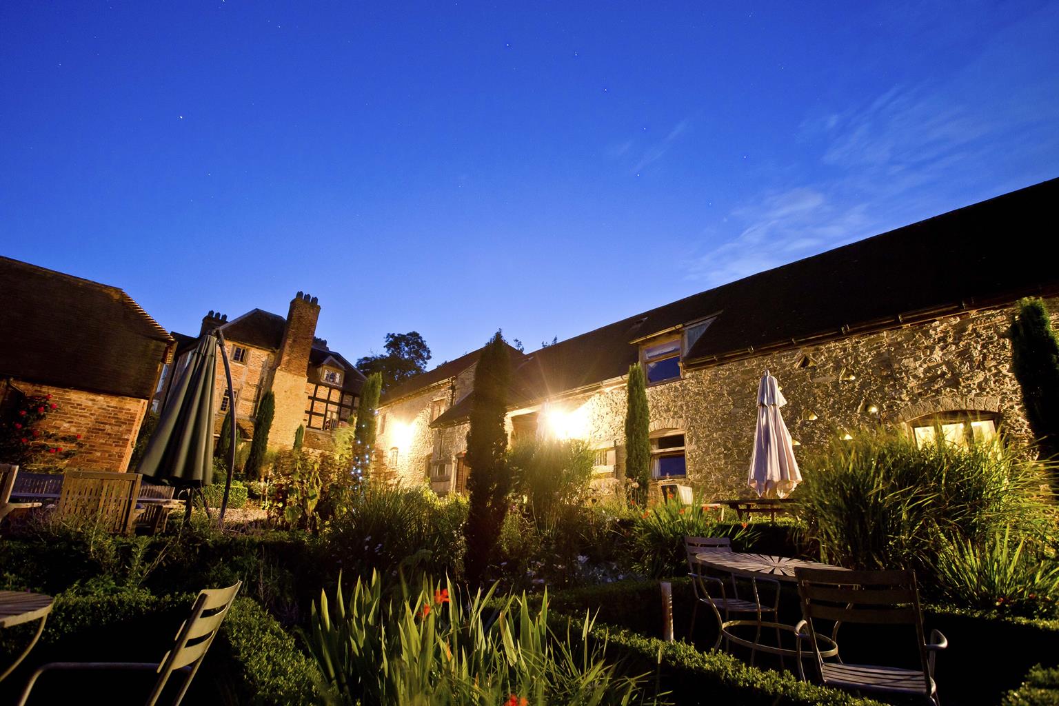
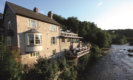

The Riverside at Aymestrey
The Riverside Inn sits alongside the River Lugg in a rural part of Herefordshire, offering peace…

Aymestrey
4.75 miles (7.7kms)
On your way here, you may have seen signs to the village of Shobdon and the adjacent Shobdon Airfield. It was one of the many airfields built in 1940, as part of what was collectively perhaps the biggest civil engineering project undertaken in Britain. At that time a modest, privately owned quarry was operating at Aymestrey. The wartime government used its compulsory purchase powers, ensuring a local supply of stone for the airfield. In its latter years, the quarry was run by Hanson Aggregates.
I don’t suppose that anyone at Hanson Aggregates expects, in the fullness of time, to be remembered for their landscape architecture in the same way as Lancelot ‘Capability’ Brown or Richard Payne Knight, but they should at least be commended for trying. Unfortunately, you will not be best placed to judge the quality of their ‘seamless’ landscape restoration, since you’ve now been primed to look out for it. Nevertheless, towards the end of the walk, as you descend to the former quarry area, there is little to indicate that the immediate landscape has been recently manufactured, although your curiosity may be alerted by the absence of any really substantial trees. Unlike many quarries, the plan here was not to provide any sort of lake-based recreation, but to return the land to a mixture of agricultural use (sheep grazing, it seems) and woodland.
West of Aymestrey, the River Lugg runs in a small but spectacular gorge. This is a glacial overflow channel that exploited a fault in the rock, associated with the glacial Wigmore Lake. The paucity of contours on the suggested map a few grid squares to the north shows the position of the former lake.
At Mortimer’s Cross, Richard of York’s son Edward defeated the Lancastrian army in 1461 in one of the battles that changed the course of the Wars of the Roses (Edward was crowned King later that year). The battle site is 0.5 miles (800m) south of the road junction named Mortimer’s Cross. The cross itself dates from 1799.
Walk up the access road for 750yds (686m), until just before a junction of tracks. Note a stile on the right – your route returns over this.
Turn left then, in 25yds (23m), curve right, passing a seemingly nameless house with a stone wall relic in its garden. Shortly curve left to walk through Yatton, to a T-junction. Turn left to the A4110. Cross directly to a stile, striking across this field to a gap. In the next field veer left to skirt round the right edge of (not over) an oak and ash embankment, to find a corner stile. Walk up the left edge of this field but, at the brow, where it bends for some 70yds (64m) to a corner, take a stile in the hedge to walk along its other side. Within 60yds (55m) you will be in a clear path, steeply down through woodland, a ravine on your left. Join a rough driveway to a minor road. (The glacial overflow channel is directly ahead.)
Turn left here, joining the Mortimer Trail. Enjoy this wooded, riverside lane for nearly 0.75 miles (1.2km), to reach the A4110 again. Cross, then walk for just 25yds (23m) to the right. (The Riverside Inn is about 175yds/160m further.) Take a raised green track, heading for the hills. Then go diagonally across two fields, to a kissing gate and wooden steps.
Within a few paces fork left to ascend steeply through the trees. Leave by a stile, to cross two meadows diagonally. Over a double stile, walk along the lefthand edge of a field, still heading downhill. At the trees turn left. Soon reach a tarmac road. Turn left along the road, now going back uphill. Beyond Hill Farm, enter the Croft Estate. Walk along this hard gravel track. After 110yds (100m), ignore a right fork but, 550yds (503m) further on, you must leave the track. This spot is identified where deciduous trees give way to conifers on the left and you see a Mortimer Trail marker post on the wide ride between larches and evergreens on the right, approximately 250yds (229m) on from a large, green Croft Wood sign.
Turn left (there is no signpost). Within 110yds (100m) go half right and more steeply down on an aged stone path. Within 250yds (229m) look out for a metal gate, way-marked, leading out of the woods. Walk along its right-hand edge, admiring the former quarry’s new landscape. Walk briefly in trees then out and, at the far corner, within the field, turn left to Point 2. Retrace your steps to the start of the walk.
Excellent tracks, field paths, minor roads, steep woodland sections, many stiles
Wooded hills and undulating pastures
Several opportunities for controlled, off-lead walking; lead needed on two stretches of lane
OS Explorer 203 Ludlow
At old quarry entrance, on east side of A4110, 0.25 miles (400m) north of Aymestrey Bridge
None on route
Read our tips to look after yourself and the environment when following this walk.
Herefordshire is split in two by the River Wye which meanders through the county on its way to the Severn and the sea. Largely rural, with Hereford, Leominster, and Ross-on-Wye the major towns and cities, its countryside and ancient villages are the county’s major asset.
Visitors can take advantage of a number of the trails which will guide them through areas of interest. Those especially interested in historic village life should try the Black and White Village Trail, which takes motorists on a 40-mile drive around timber-framed villages from Leominster to Weobley (established in the 17th century and known as a centre of witchcraft in the 18th), Eardisley (where the church boasts a 12th-century carved font), Kington, Pembridge and others. Other trails include the Mortimer Trail, the Hop Trail and the Hidden Highway, which goes from Ross-on-Wye to Chester. Hereford has a small Norman cathedral, which has a great forest of pink sandstone columns lining the nave. Inside is a chained library, a 13th-century Mappa Mundi (map of the world) and one of only four copies of the 1217 version of the Magna Carta.
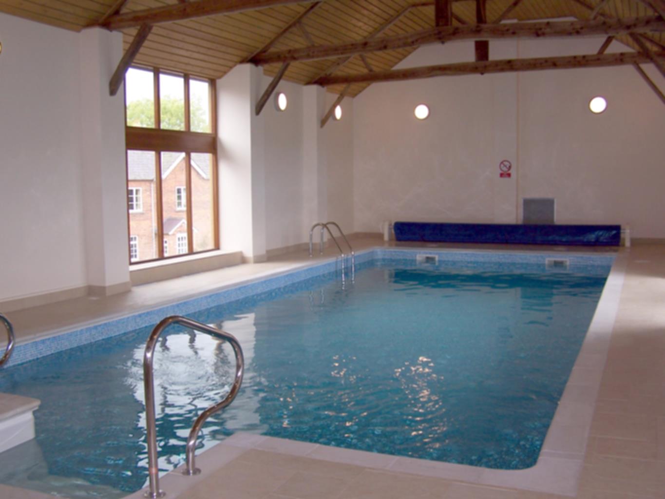
Discover more than 15,000 professionally rated places to stay, eat and visit from across the UK and Ireland.
Choose a place to stay safe in the knowledge that it has been expertly assessed by trained assessors.
Search by location or the type of place you're visiting to find your next ideal holiday experience.
Read our articles, city guides and recommended things to do for inspiration. We're here to help you explore the UK.