

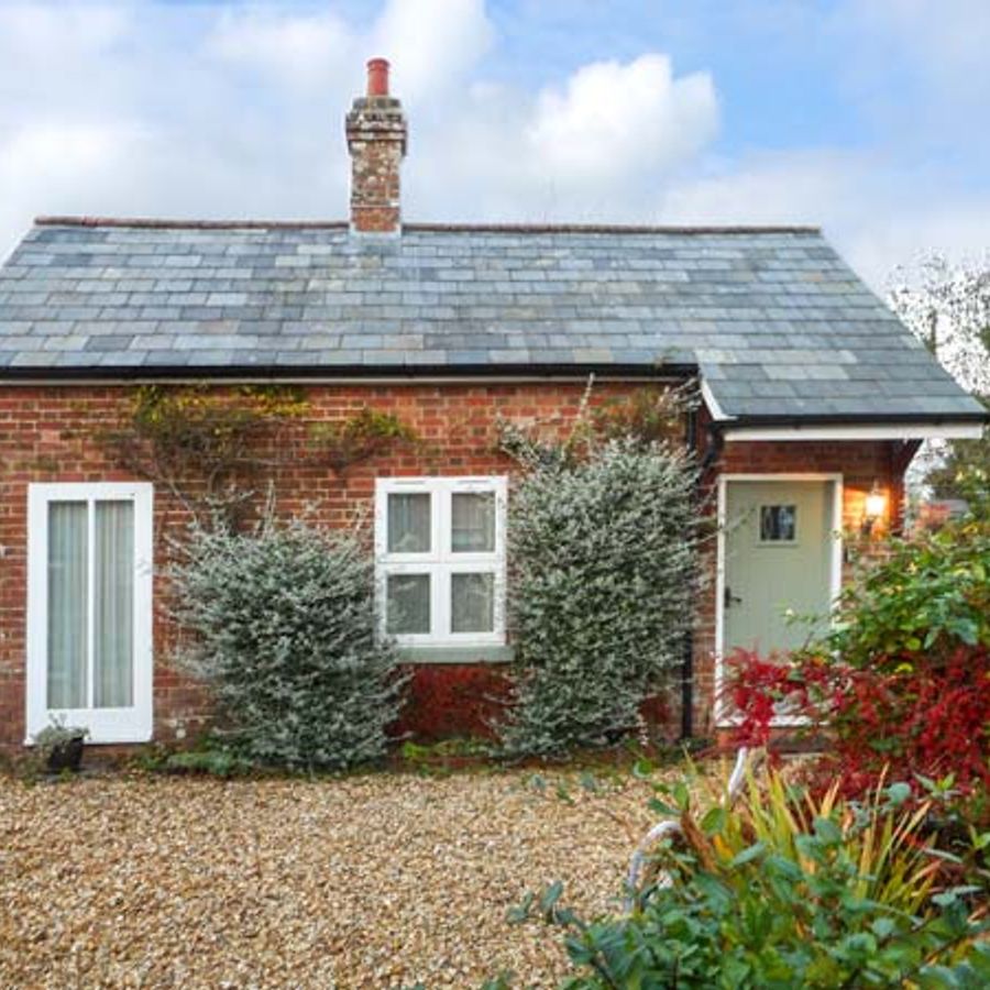
Parkfield Cottage
This compact, cosy, restored barn is set in the grounds of the owner's cottage in this…

Badbury Rings
7.5 miles (12.1kms)
The most obvious legacy of the Roman invasion of Britain in ad 43 is the network of straight military roads. Before they came, many routes existed as tracks, but it took the Roman desire for effective communication and control across their empire to make these permanent. A few roads would actually have been paved, but usually fine gravel was layered over coarser chippings for effective drainage.
Four of the most important Roman routes across Dorset met at the hub of Badbury Rings. The most famous and visible of these is Ackling Dyke, the major road which linked London (Londinium) with Old Sarum (Sorviodunum), Dorchester (Durnovaria) and Exeter (Iscarduniorum). Badbury Rings was a massive fort, occupying a spectacular vantage point. Bronze Age barrows confirm a settlement here around 2000 bc, and the fort dates from the sixth century bc. At that time Dorset was inhabited by the Durotriges tribe, prosperous Iron Age traders, farmers and potters. The indications are that the Second Augusta Legion, under the command of Vespasian (who would later become emperor) had built an advance base at Lake Farm, beside the River Stour at Wimborne. They realised the strategic importance of Badbury and attacked and took control of the hilltop. The fort was dismantled, and the inhabitants killed, sold into slavery or otherwise dispersed. The Romans went on to build their own fortified citadel called Vindocladia, nearby at Shapwick.
When the Romans finally withdrew from Britain in the fifth century, this site was absorbed back into the Dorset landscape, like so many other Roman structures. Badbury Rings did not disappear from history, however. Many believe that it was the site of Mount Badon, where King Arthur won a legendary battle against the Saxons around ad 516. In 1645 the fort served as a meeting place for the Dorset Clubmen, a ragged, badly armed force opposing both parties in the Civil War. Over 4,000 gathered to hear speeches by local notables. They were subsequently routed by Cromwell’s New Model Army.
Walk up the hill to explore the site of Badbury Rings, then head down the track by which you drove in. Cross the B3082 and go straight down the road towards Shapwick – its straightness gives away its Roman origins. Pass Crab Farm on your right, with winter views of Charborough Tower on the distant horizon.
At the junction with Park Lane turn right, then right again by Elm Tree Cottage to go up Swan Lane, a grassy track. Turn left over a stile before the gate. Go straight over the field, cross a stile, and along the left edge of the next field. Go into the yard of Bishops Court Dairy and turn right past the first barn. Go up a track and bear left at a track through a gateway, then half right across the field, heading for a narrow gap halfway along the hedge. Go through this and continue in the same direction to the top corner of the field.
Cross a stile and turn left down the broad bridleway. After 980yds (800m) pass a line of trees. Turn right, up a track between high hedges (following the blue public bridleway marker) which levels off and begins to drop. Continue walking with glimpses of Tarrant Crawford church blending into trees on your left. Follow the track round to the left, by the side of a stream.
Go through a gate and reach the church on your left. Continue towards the barns of Tarrant Abbey Farm. Just before a field gate wrapped in barbed wire, go left through a bridle gate and continue diagonally across the field to a track between fences. Follow this uphill, passing above the farmhouse. At the top of the track go through a gate and head straight over the next field. Cross the road and walk down the right edge of the field. Go through a gate and cross another road into a green lane. Bear left through a gate and then diagonally right across a field to a gate in the far corner. Go through this gate onto the road and turn right.
Walk onto the old Crawford Bridge, just to admire it. Retrace your steps and turn right at the footpath sign. Cross a stile and walk straight across the meadows for a mile (1.6km). When you reach a fence on the left, walk round it to a gate. Go through and follow the track round to the right. Keep right at a fork where a left turn leads into a field. Cross a stile behind the farm and walk along a farm track then bear right along the road into the village.
Pass the Anchor Inn and turn left, passing Piccadilly Lane on your right-hand side. Go straight up the road, now retracing your route back to the car park at Badbury Rings.
Farm tracks, roads, grassy lanes and fields
Gently rolling farmland leading down to water-meadows
Under control on Badbury Rings
OS Explorer 118 Shaftesbury & Cranborne Chase
National Trust car park at Badbury Rings, signposted off B3082 from Wimborne to Blandford
None on route
Read our tips to look after yourself and the environment when following this walk.
Dorset means rugged varied coastlines and high chalk downlands. Squeezed in among the cliffs and set amid some of Britain’s most beautiful scenery is a chain of picturesque villages and seaside towns. Along the coast you’ll find the Lulworth Ranges, which run from Kimmeridge Bay in the east to Lulworth Cove in the west. Together with a stretch of East Devon, this is Britain’s Jurassic Coast, a UNESCO World Heritage Site and Area of Outstanding Natural Beauty, noted for its layers of shale and numerous fossils embedded in the rock. Among the best-known natural landmarks on this stretch of the Dorset coast is Durdle Door, a rocky arch that has been shaped and sculpted to perfection by the elements. The whole area has the unmistakable stamp of prehistory.
Away from Dorset’s magical coastline lies a landscape with a very different character and atmosphere, but one that is no less appealing. Here, winding, hedge-lined country lanes lead beneath lush, green hilltops to snug, sleepy villages hidden from view and the wider world. The people of Dorset are justifiably proud of the achievements of Thomas Hardy, its most famous son, and much of the county is immortalised in his writing.
Discover more than 15,000 professionally rated places to stay, eat and visit from across the UK and Ireland.
Choose a place to stay safe in the knowledge that it has been expertly assessed by trained assessors.
Search by location or the type of place you're visiting to find your next ideal holiday experience.
Read our articles, city guides and recommended things to do for inspiration. We're here to help you explore the UK.