Additional information
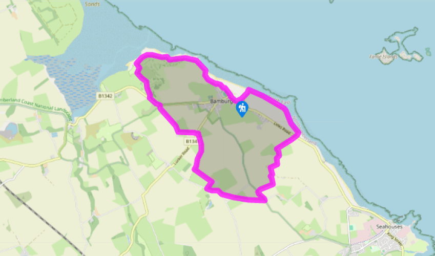
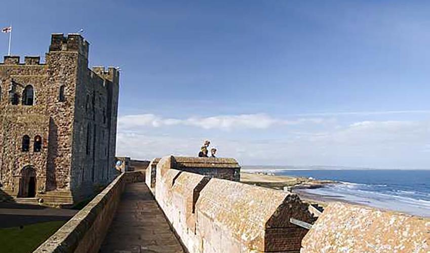
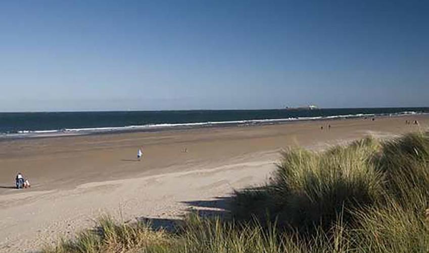
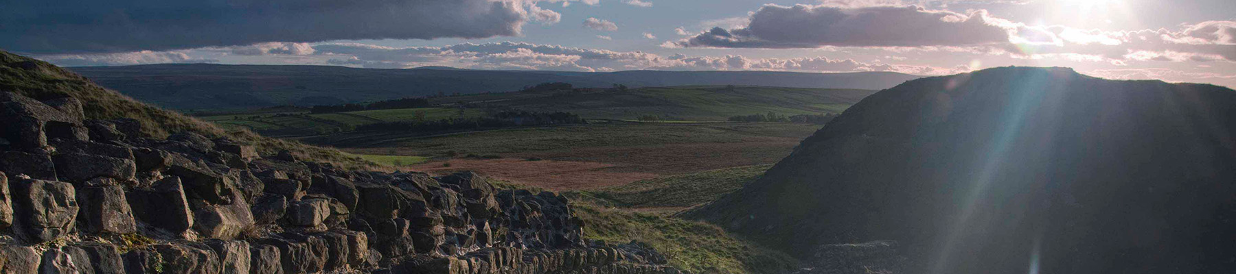
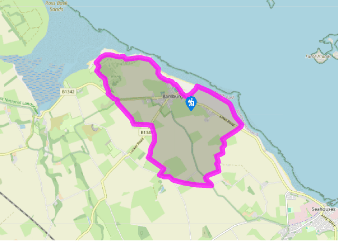
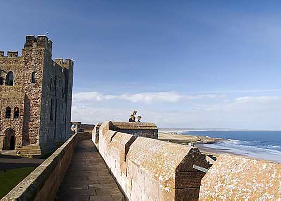
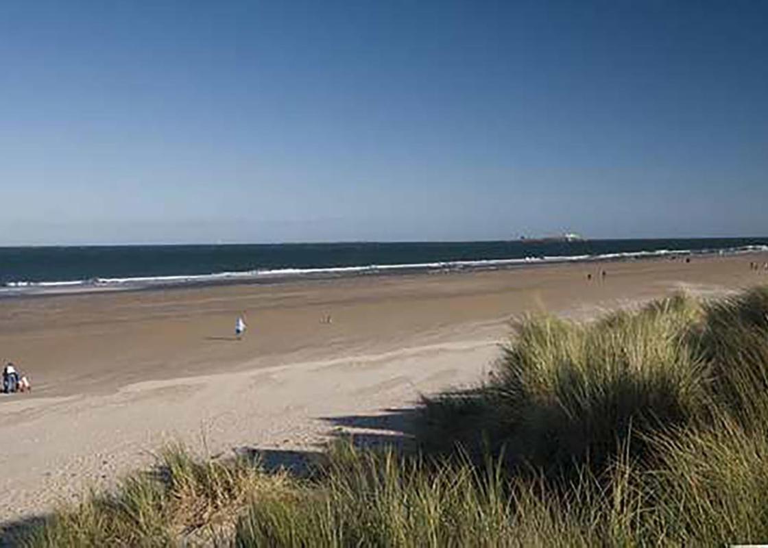
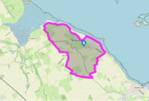
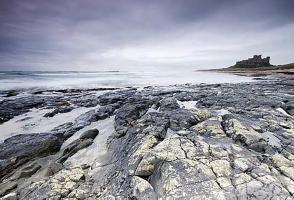
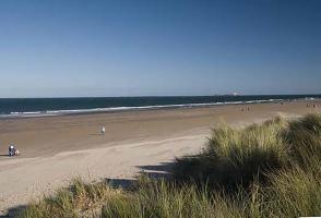
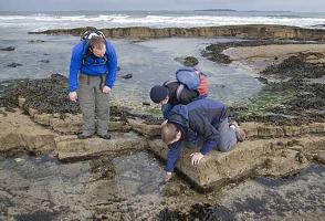
Terrain
- Field paths, dunes and beach, 11 stiles
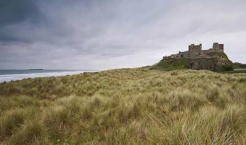
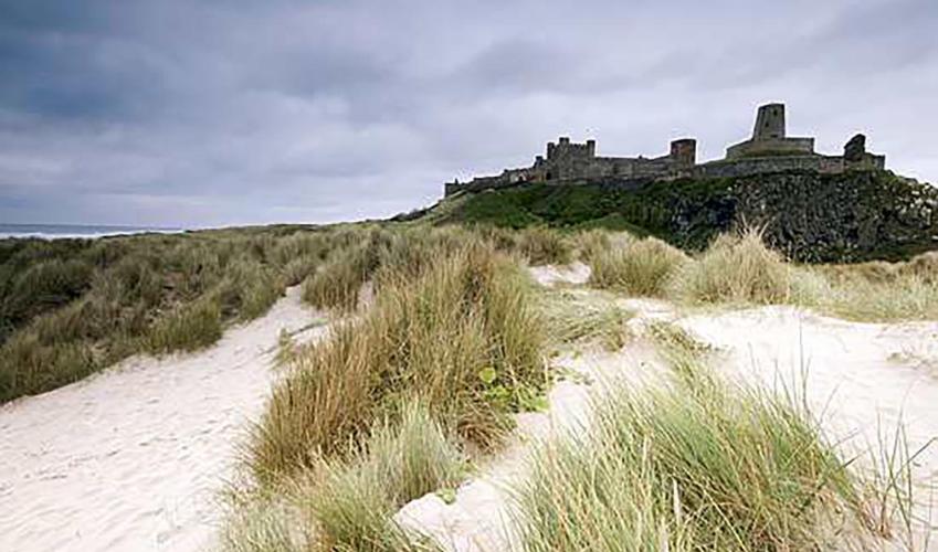
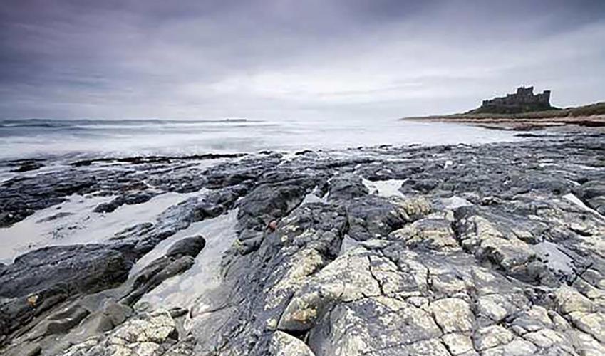
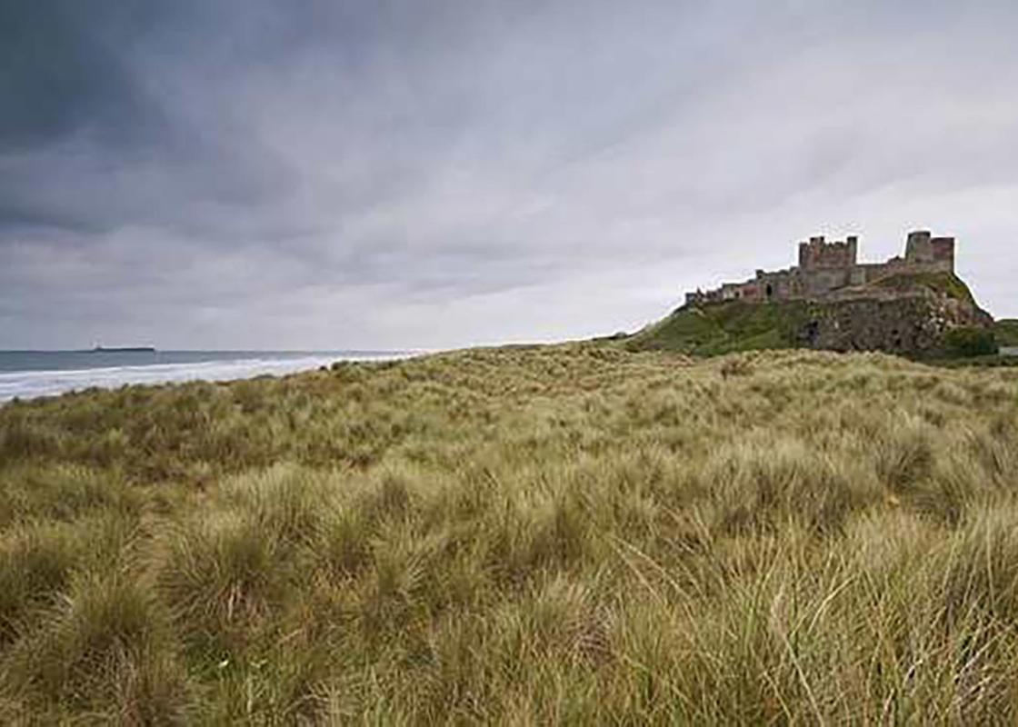
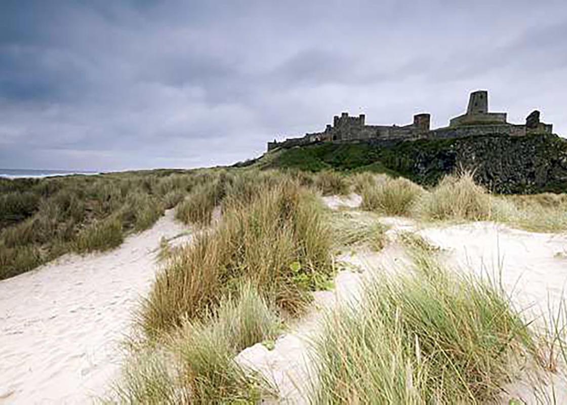
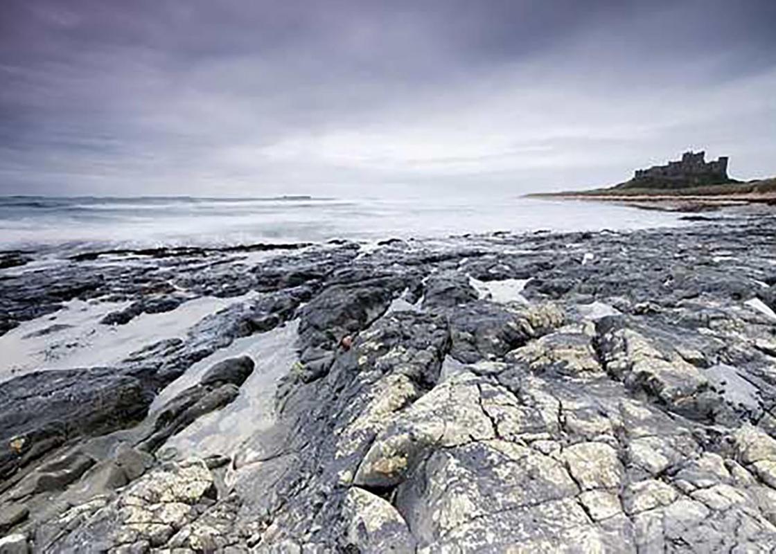
Landscape
- Coastal pasture and dunes
Dog friendliness
- Can be off lead on dunes and beach
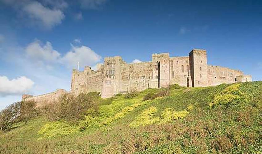
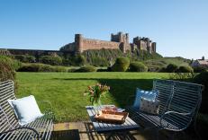
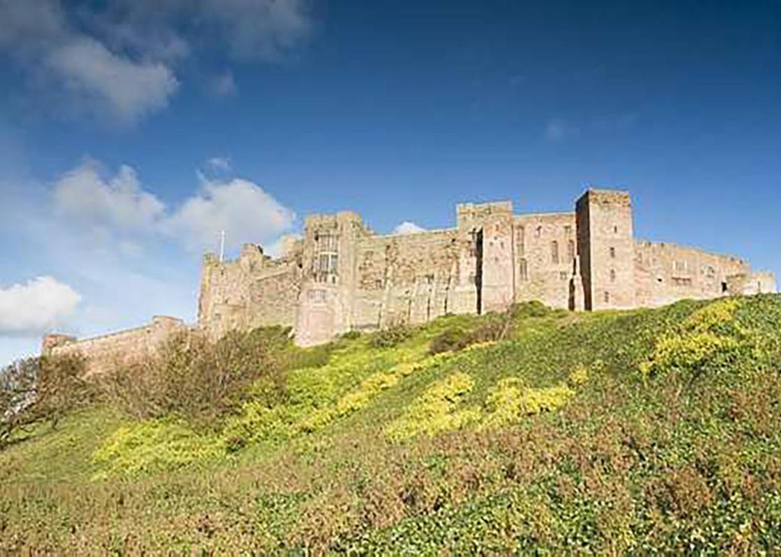
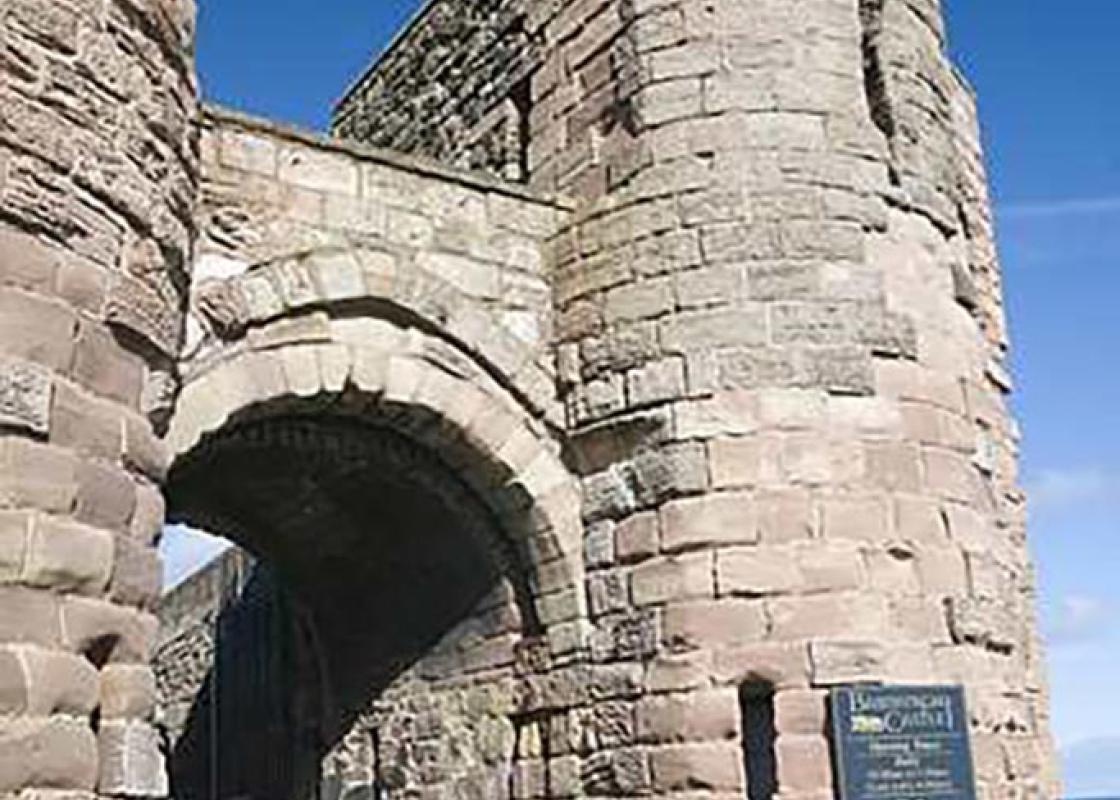
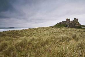
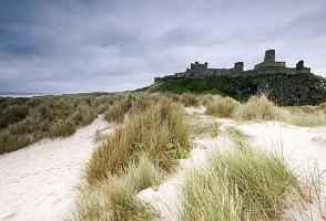
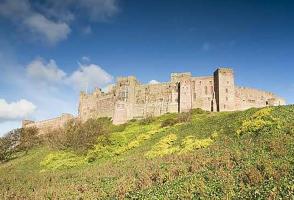
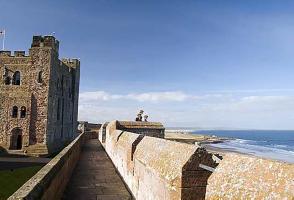
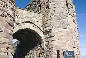
Parking
- Pay-and-display parking by Bamburgh Castle
Toilets en route
- Bamburgh
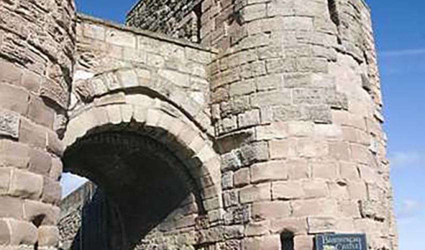
About the walk
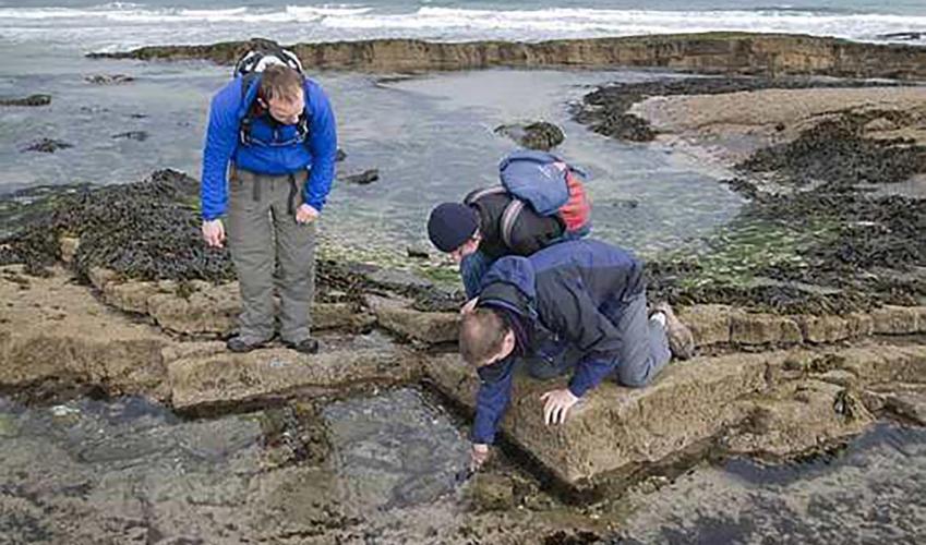
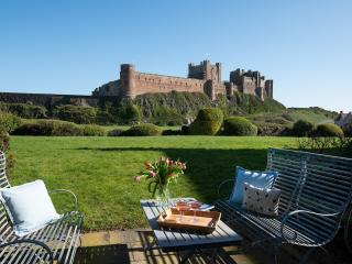
For as long as people have sailed this coast, the Farne Islands have been a hazard, claiming countless lives on their treacherous rocks. The most easterly outcrop of Northumberland's whinstone intrusion, they form two main groups and comprise around 30 tilted, low-lying islands, some barely... breaking the waves. Their harsh environment and isolated position attracted the early Christian saints, who sought seclusion for a life of prayer and meditation. And on Inner Farne, the largest of the group, is a restored 14th-century chapel dedicated to St Cuthbert, who spent the last years of his life there. The early lighthouses The first attempt to mark the Farne Islands for shipping was around 1673, when a signal fire was lit on a 16th-century tower, built by the Bishop of Durham, on Inner Farne. Later, other beacon towers were built, first on Staple Island, then, in 1783, on Brownsman. The first modern lighthouse was erected on Inner Farne in 1809 and was quickly followed by another on Brownsman. The latter actually proved a danger and was replaced in 1826 with one on Longstone. Even these efficient lights were unable to prevent every disaster, and ships continued to founder on the dangerous reefs. An heroic rescue The event that caught the imagination of the country, though, was the wreck of the SS Forfarshire in 1838 because of the unstilted heroism of the Longstone keeper and his daughter in rescuing the survivors. The Darlings had been keepers of the Farne lights since 1795, when Robert was appointed to the Brownsman beacon. He later took over the new lighthouse and was followed by his son William in 1815, who then moved to the new light on Longstone when it opened. A storm was raging before dawn on 7 September 1838 when SS Forfarshire struck Big Harcar, just southwest of Longstone. William's daughter, Grace, was keeping watch with her father and spotted the wreck. Although at first neither could see any survivors, with first light, they sighted men clinging to the wave-washed rock and launched their tiny coble to attempt a rescue. They found nine survivors, including a woman, but were only able to bring five back on the first trip. William returned with two of them for those remaining, while his daughter helped the others recover from their exposure. Grace became a national heroine, but managed to remain unaffected by the publicity and stayed with her parents at Bamburgh. Sadly, she died of tuberculosis only four years later at the age of 26. A small museum in the village tells the story and, in the churchyard opposite, there is a replica of the memorial effigy that was placed near her grave, the original having been removed inside the church for protection.
Read more