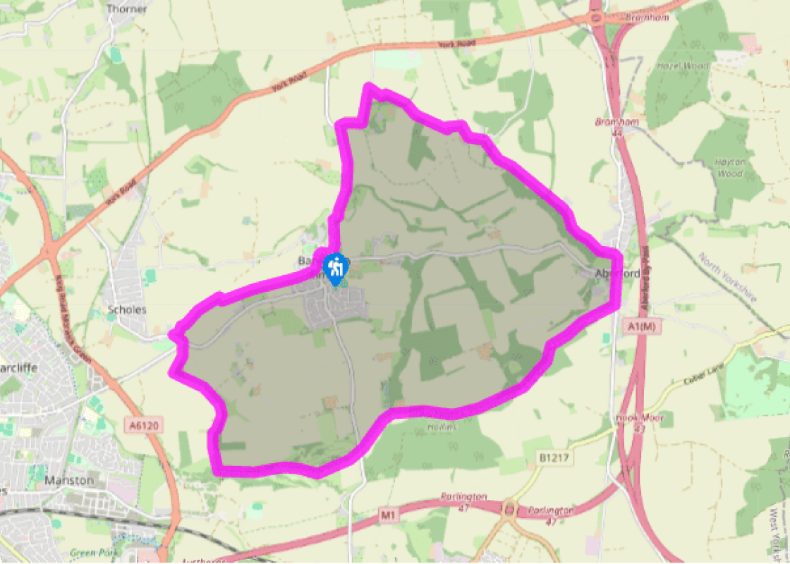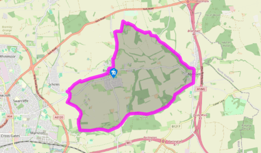
Barwick in Elmet
Walk south along Main Street, then right into Carrfield Road. At the end, keep ahead along a grass track and then a field path. Entering the third field, swing right to pass through a gap in the corner and then left beside the hedge. Cross back through further on, eventually coming out onto a lane at Scholes.
Go left for 100yds (91m) to a road off right, signed to Leeds. Cross to a stony bridleway beside the intersection, soon leaving Scholes behind. At a junction, keep left on the most obvious track. When another track comes in from the left, keep ahead past a barrier. Walk a further 0.5 miles (800m) to a junction. There, go left with the bridleway beside a small wood.

Been on this walk?
Send us photos or a comment about this route. Or recommend a route of your own.

Walking in Safety
Read our tips to look after yourself and the environment when following this walk.

Get an AA guide
Explore our range of ‘50 Walks in’ guides - they’re the ideal companion for a ramble.
Been on this walk?
Send us photos or a comment about this route. Or recommend a route of your own.
Walking in Safety
Read our tips to look after yourself and the environment when following this walk.
Get an AA guide
Explore our range of ‘50 Walks in’ guides - they’re the ideal companion for a ramble.

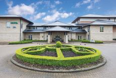
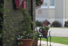
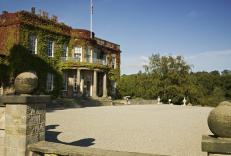
Nearby places to stay
View all (8)