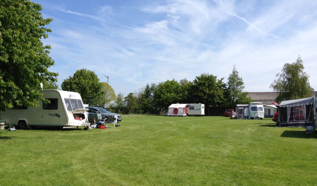


Naze Marine Holiday Park
With its relaxed atmosphere, peaceful setting and breath-taking natural beauty, Naze Marine is…

Exploring a town with two seasides
Walton-on-the-Naze
4.25 miles (6.8kms)
In the early 19th century Walton-le-Soken, as Walton-on-the-Naze was then known, emerged as a seaside resort attracting fashionable folk from London and county families from Essex, who used bathing machines to dip their toes in the waters. The first terraced houses brought genteel residents, a hotel provided visitors with accommodation and before long the area became as popular as Southend, with a pier packed with pastimes. Although Walton's name has since changed, two neighbouring villages, Kirby-le-Soken and Thorpe-le-Soken, still retain the original suffix.
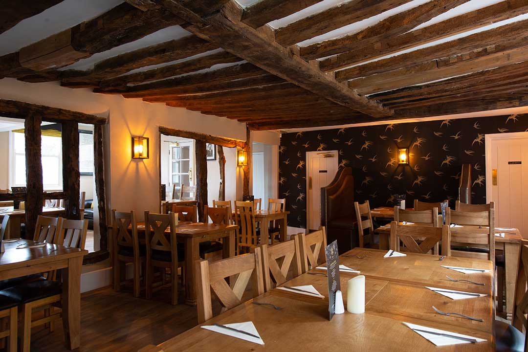
Nowadays visitors can enjoy amusement arcades, tenpin bowling, restaurants and sea fishing, and the holiday atmosphere is complete with kiss-me-quick hats, jellied eels and seaside rock. But if you wander north of the town and its lovely wide, sandy beaches, you'll discover a haven for birdlife in the John Weston Nature Reserve, named after a local warden, and a multitude of sailing craft tucked in the creeks.
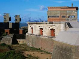
Part of the town is situated on a headland called The Naze, hence its name. The word originates from the Anglo-Saxon ness or naes meaning a headland, while Walton may mean 'walled town' from the sea wall. Natural erosion has played a big part in the development of Walton-on-the-Naze, although some would class it as terrifying destruction. In 1798 Walton's second church was washed away, and at low tide they say you can still hear the bell ring; in 1880 its first pier was destroyed by heavy seas; World War II gun emplacements and pill boxes built on the Naze itself fell onto the beach and in the next few years, the Naze Tower, a Grade II listed building, which is only just 100yds (91m) from the cliff edge will also be at risk.
Conservationists predict that unless coastal erosion is stopped, or at least slowed down to manageable levels, then the area known as the Walton backwaters and home to thousands of birds, seals and other wildlife, will disappear along with a large part of Walton itself. It may come as no surprise that even the lifeboat here lacks a permanent mooring. In fact, it is the only lifeboat in Britain to have a mooring in the open sea. It is near the end of the pier and, when the alarm is raised, the lifeboat crew cycle the length of the pier and use a small launch to reach it. Choose a summer's day for this gentle walk, which takes you through the town and along the seafront to the Naze Tower. You can walk along the beach or along the promenade depending on the tidal conditions. Year round, Walton-on-the-Naze is a delight to explore. In winter you'll see waders and a range of wildfowl, including brent geese, and in summer you may be lucky to spot rare avocets, which breed here. They have unusual upturned bills which they sweep through the water, collecting shrimps and worms.
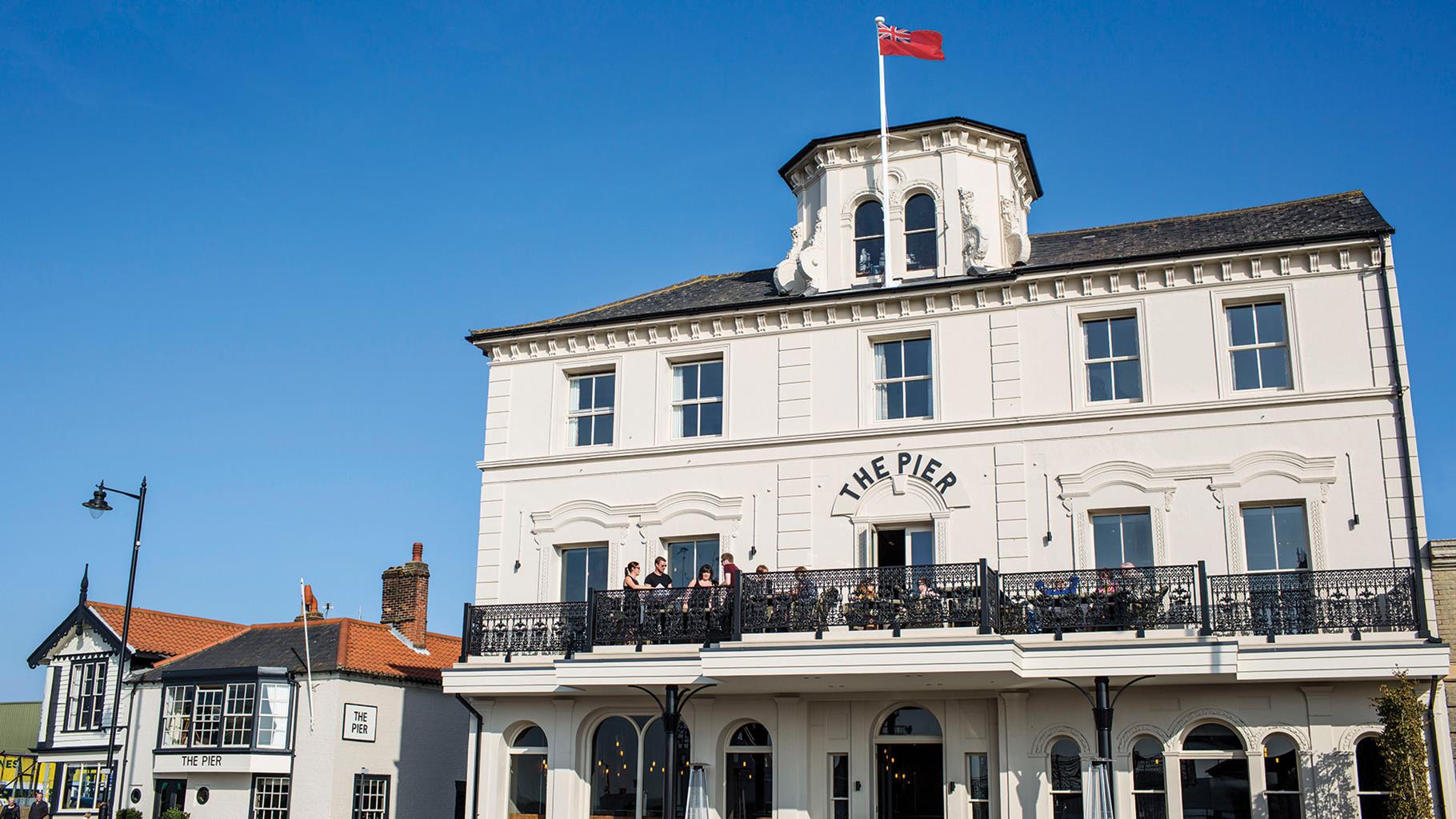
From Mill Lane car park turn right into the High Street, then left into Martello Road. Bear left along New Pier Street and go on to Pier Approach. To your right is the Pier. At 0.5 miles (800m) long, it is the second longest in England (after Southend). From here there are good views of the beaches of Walton-on-the-Naze and Frinton.
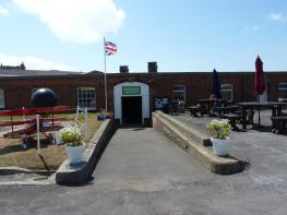
Turn left and, with the sea on your right, walk along Princes Esplanade through East Terrace, at the end of which is the Maritime Museum. Continue walking along Cliff Parade and the cliff tops to Naze Tower. Built by Trinity House in 1720 as a navigational aid, it was to join many Martello towers which were built along the east and southeast coasts to fend off Napoleonic invasion. Today, the grassy area in which the tower stands is a good place to rest and recuperate with a hot drink and a picnic at the wooden tables.
From the car park cafe walk inland to Old Hall Lane, and turn left and then right into Naze Park Road. At the end of Naze Park Road, where it bears sharp left, turn right onto the narrow path and left onto the field-edge path, passing two small ponds filled with wildlife.
After 100yds (91m), turn left onto the cross path, go through the gate and onto the permissive path which follows the sea wall, keeping the caravan site on your left and Walton Channel on your right. This wide expanse of mudflats, islands, channels and small boats, ever changing with the tide, is a paradise for seabirds and a Site of Special Scientific Interest (SSSI). Skippers Island, an Essex Wildlife Trust nature reserve, is the habitat of rare seabirds and wildlife, and full-time wardens are employed to protect them. Follow the sea wall for 0.75 miles (1.2km), then bear half left down the embankment and into a field used as an overflow car park.
With the school field on the left, follow railings for 70yds (64m) to a path between the school and terraced cottages and continue to Saville Street, past old cottages on your right. Take the first right into North Street, continue to the High Street and turn right. Turn right again into Mill Lane to the car park.
Grassy cliff paths, tidal salt marsh and some town streets
Cliffs, sandy beaches, creeks and marshes
Take care on narrow paths along cliffs
OS Explorer 184 Colchester, Harwich & Clacton-on-Sea
Pay-and-display at Mill Lane and Naze Tower
Mill Lane and Naze Tower
Read our tips to look after yourself and the environment when following this walk.
Essex is full of pleasant surprises. It has the largest coastline of any county in England, with its fair share of castles, royal connections and scenic valleys. Take Colchester, for example, which was built by the Romans and is Britain’s oldest recorded town. Its castle contains the country’s largest Norman keep and yet, a stone’s throw from here, East Anglia’s newest arts centre promises to put Colchester firmly on the map as Essex’s capital of culture.
Tidal estuaries are plentiful and their mudflats offer migrating birds a winter feeding place. Essex was known as the land of the East Saxons and for centuries people from all over Europe settled here, each wave leaving its own distinctive cultural and social mark on the landscape. Walking a little off the beaten track will lead you to the rural retreats of deepest Essex, while all over the county there are ancient monuments to explore:
Discover more than 15,000 professionally rated places to stay, eat and visit from across the UK and Ireland.
Choose a place to stay safe in the knowledge that it has been expertly assessed by trained assessors.
Search by location or the type of place you're visiting to find your next ideal holiday experience.
Read our articles, city guides and recommended things to do for inspiration. We're here to help you explore the UK.