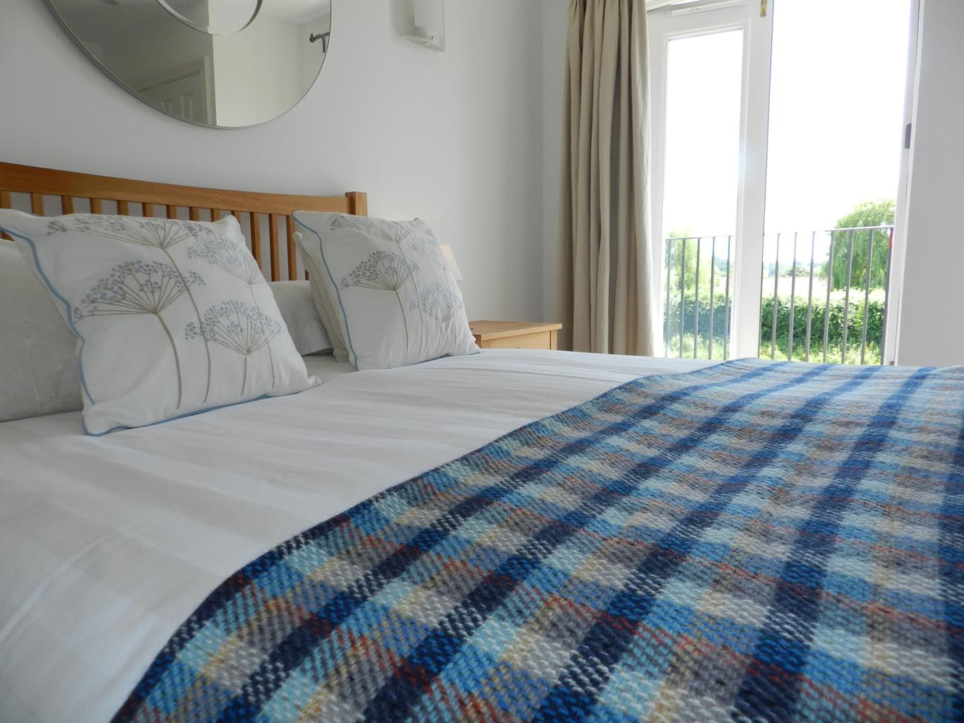

Ship & Anchor Marina
Neatly maintained by the enthusiastic, hard working owner, this small, well-located site has…

A varied walk following the River Arun to Arundel Park and concluding with a tour of the handsome Sussex town of Binsted.
Binsted
3.5 miles (5.7kms)
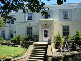
In the south side of the churchyard at Walberton is an enormous pink granite slab-topped family vault within a railinged enclosure, a typical piece of Victorian grandiosity and probably built for Richard Prime, MP, in the 1860s as the family vault. The Primes were the 19th-century owners of Walberton House, which lies immediately east of the church and is now renamed Walberton Park.
The present stuccoed house replaced both an old 17th-century manor house that had been nearer the lane and its short-lived successor. General John Whyte bought the estate in 1801 and built a mansion here to his own design. The next owner, Richard Prime, had to demolish it in 1817 because it was so badly constructed.
This time a proper architect was employed, no less than Sir Robert Smirke, whose notable buildings include Eastnor Castle in Herefordshire, and the British Museum. It suffered various reductions and partial demolitions in the 20th century, and is now converted into apartments. (As a bizarre aside, the vicar of Walberton was excommunicated in 1411 for the partial castration of a chaplain. There are no further details.)
Within the copses on the northern section of this walk, the wide track has well defined banks on each side as it passes through Singer’s Piece and Scotland. It is thought this was the course of the old Roman road to Chichester, mentioned in 13th and 14th century documents as a ‘king’s highway’. Still shown as a road on 17th-century maps, it was called Arundel Highway in 1727, then Scotland Lane. The name ‘Scotland’ has nothing to do with the country, but relates to the customary or ‘scot rent’ system by which the land marked on the Ordnance Survey map, now a coppice, was held.
Binsted’s church is isolated on its lane, the village having shrivelled away to a couple of farmhouses and he Black Horse pub. The church is mainly Norman and a delightful rural one, with three Norman windows surviving, including one with 12th-century wall painting in the splays. The font is also Norman, a bulbous bowl with an arcade decoration.
From the car park cross the road to the sign for the parish church and continue ahead down Church Lane to the church. From the churchyard you can see Walberton House (now renamed Walberton Park), a restrained stuccoed house by Sir Robert Smirke.
Retrace your steps to the previous road junction, bearing right alongside the wall to reach Walberton Park and then continue to the right along Maple Road, passing an old brewery, formerly Ellis & Sons which closed in the 1920s and is now converted to dwellings with brewery-inspired names. Reaching a mini-roundabout cross the road and take the path by railings to the left of the roundabout, walking between fields. At a kissing gate descend through a golf course; soon Binsted church is visible ahead.
Cross a footbridge, almost immediately keep right and continue uphill alongside a post and wire fence. At the lane go through a kissing gate and bear right to visit Binsted church. Leaving the churchyard cross the lane to follow a track, initially alongside a flint wall, and continue ahead at a footpath junction along the left side of the hedge towards woods. Pass through this woodland belt and bear left, then right alongside the field-edge. Continue ahead into the woods, on a path that initially curves slightly to the right.
At a footpath crosspath signpost turn left and follow the clear path north through the woods that are hazel coppices with mainly beech and oak tree standards. At a footpath cross path post, just before a bench, go left along a track and cross a footbridge. Continue ahead, still in the coppice woodland, now with some sweet chestnut, another popular coppice tree. Passing a footpath post, where you ignore the turn to the left, you emerge from the woods, a view of the sea to your left. Continue along this path, once a Roman road that becomes a green lane.
Turn left on reaching a road, then shortly go right on a path, just before a house. Follow the path beside a flint wall, then alongside a closeboarded fence to turn right along the lane that ascends to the main road.
Here turn left and shortly cross to a pavement and follow it as far as a footpath sign where you turn right into Avisford Park Road. Follow this to its end, then carry on along the fenced footpath and at its end go right to the car park.
Field paths, woodland paths and track and village pavements
Mainly arable fields and coppiced woodland
On a lead in Walberton village
AA Walker's Map 20 Chichester & The South Downs
Walberton Village Hall Car Park, next to local shops
None on route
Read our tips to look after yourself and the environment when following this walk.
Discover more than 15,000 professionally rated places to stay, eat and visit from across the UK and Ireland.
Choose a place to stay safe in the knowledge that it has been expertly assessed by trained assessors.
Search by location or the type of place you're visiting to find your next ideal holiday experience.
Read our articles, city guides and recommended things to do for inspiration. We're here to help you explore the UK.