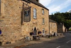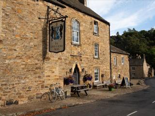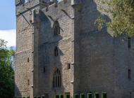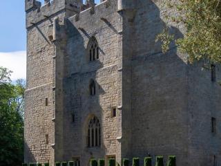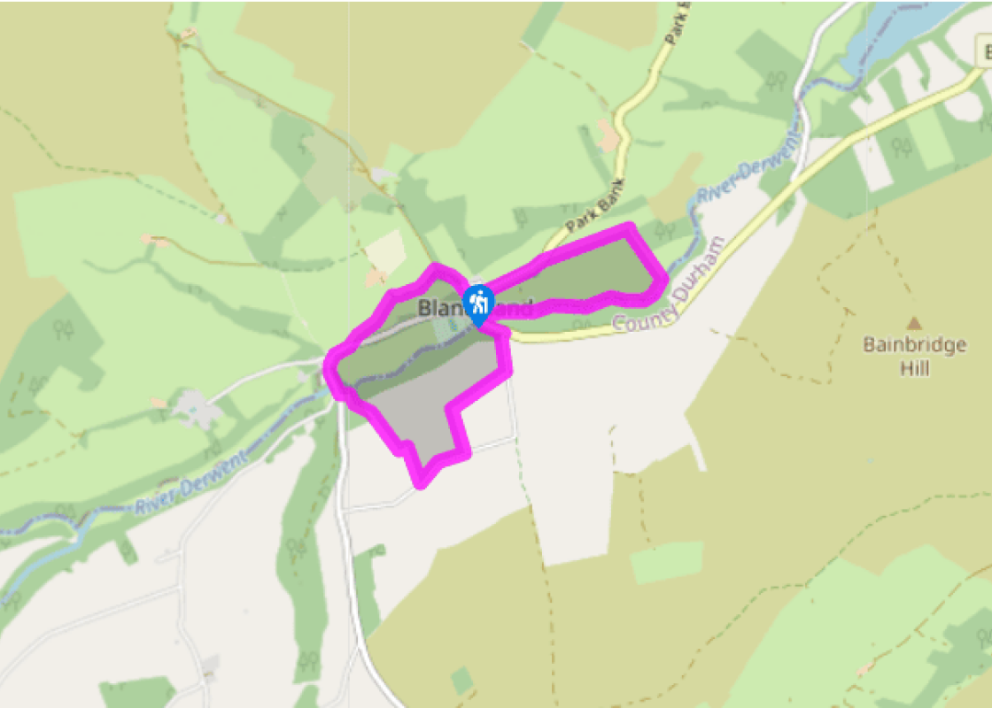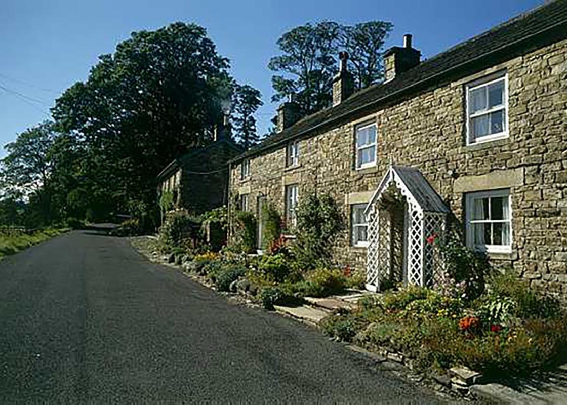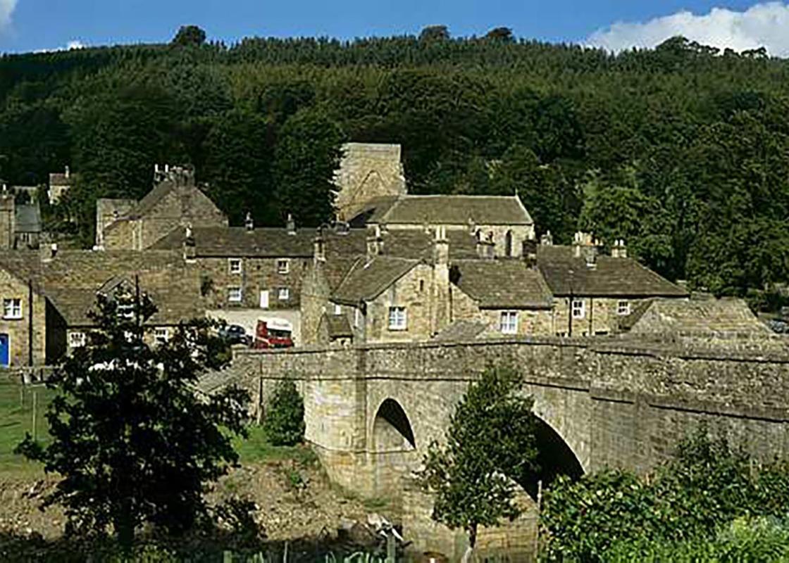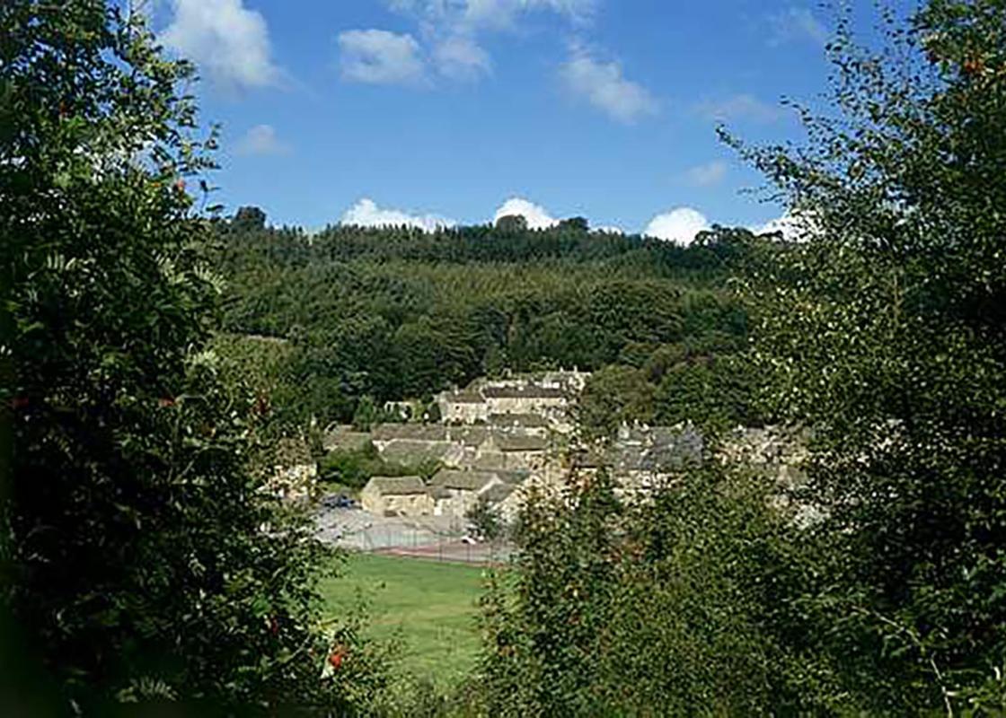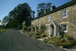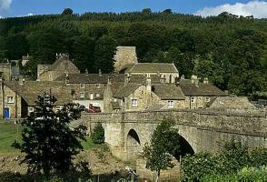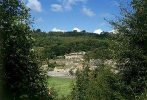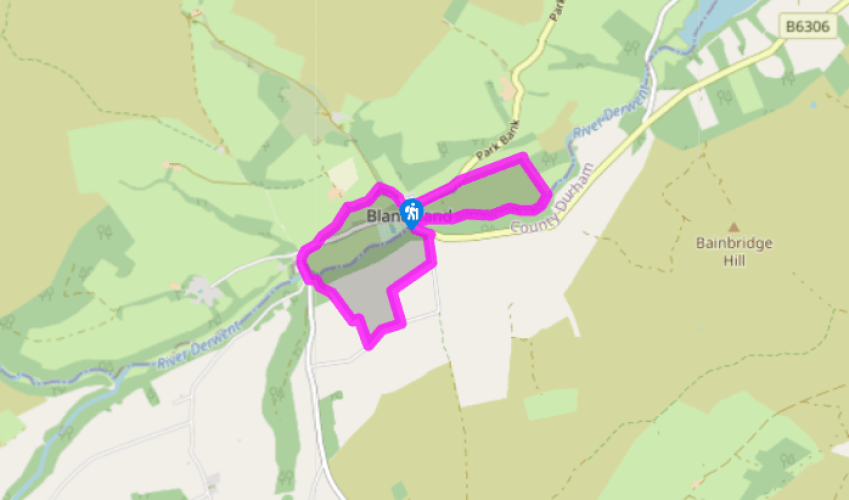
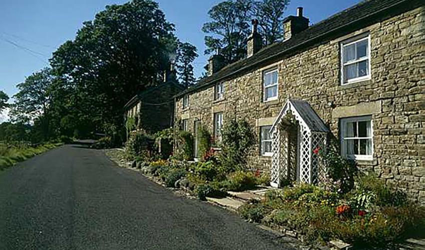
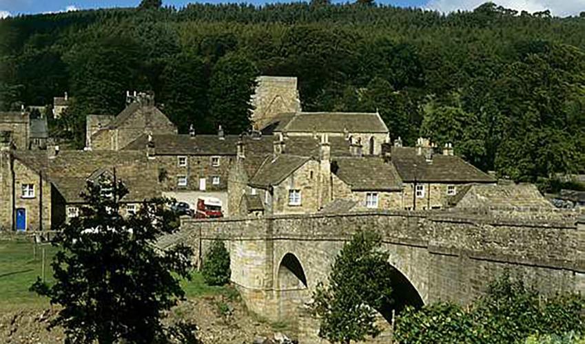
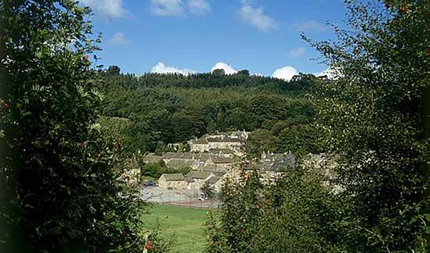
Blanchland
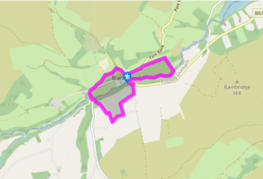
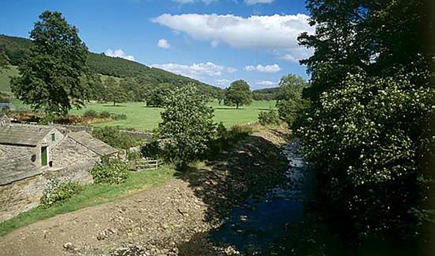
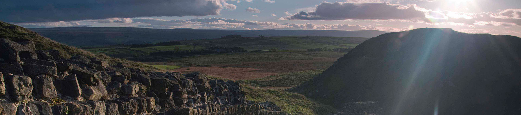
Turn left out of the car park along the lane. Just after crossing a stream, leave along a track on the left signed to Cote House Farm. Where it later bends right towards the farmhouse, go through a kissing gate on the left. Follow the fence to a stile and gate by power cable posts. Head away along a grass track leads, taking the left fork, which slants across the slope of the field towards cottages at the bottom. Exit over a ladder stile at the bottom onto a lane.
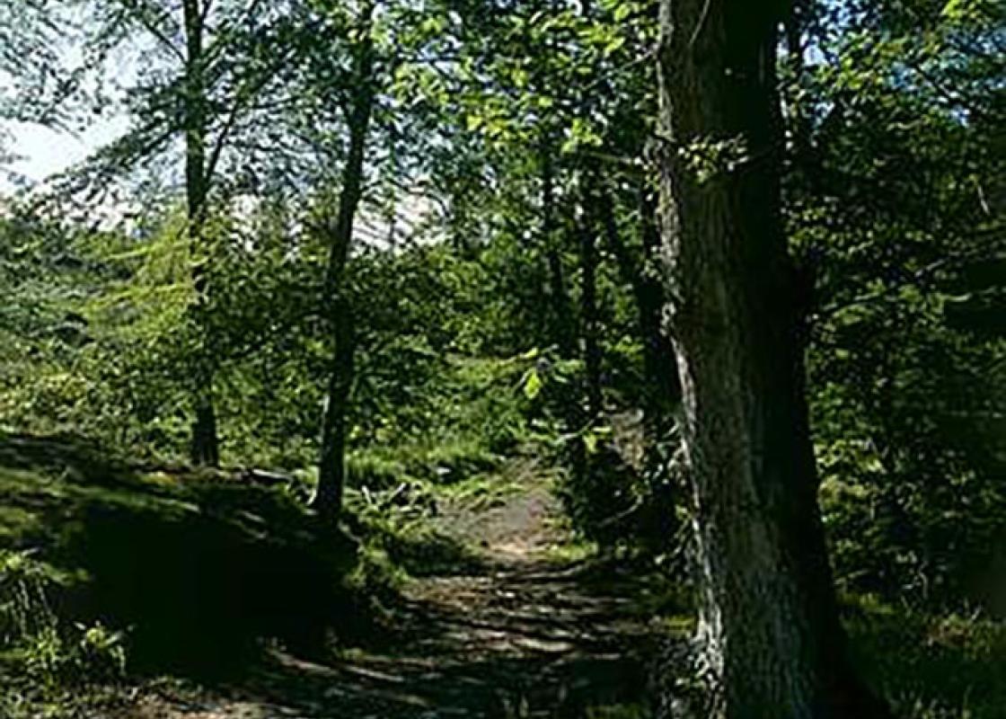
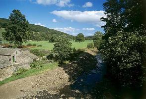
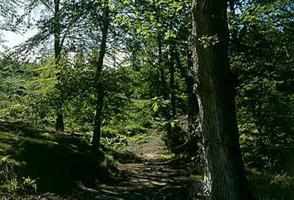
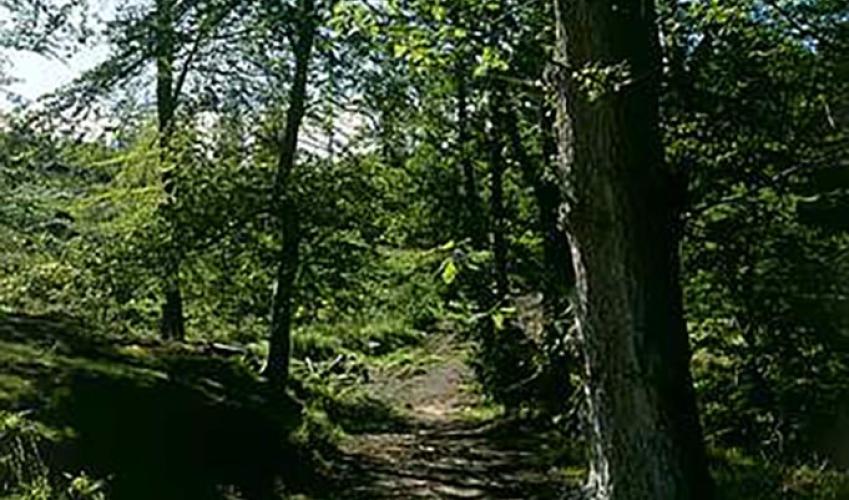
Follow the lane right, bending past a junction and the Baybridge Picnic Area. Over a bridge, just past a lane off to the right, turn left through a gateway by a footpath sign into a wood. Almost immediately, cross a stream then bear off right at a waypost to climb between the trees. Through a kissing gate at the top, go half right across a field, joining the long fence to climb to the top corner. Through a gate on the left, walk away on a track, swinging right around a wall corner. After passing through a second gate, abandon the track and revert to the right-hand wall. Go through yet another gate and continue with the wall to the lane at the far end of the field.

Been on this walk?
Send us photos or a comment about this route. Or recommend a route of your own.

Walking in Safety
Read our tips to look after yourself and the environment when following this walk.

Get an AA guide
Explore our range of ‘50 Walks in’ guides - they’re the ideal companion for a ramble.
Been on this walk?
Send us photos or a comment about this route. Or recommend a route of your own.
Walking in Safety
Read our tips to look after yourself and the environment when following this walk.
Get an AA guide
Explore our range of ‘50 Walks in’ guides - they’re the ideal companion for a ramble.
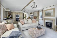
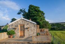
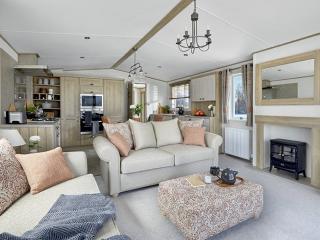
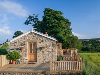
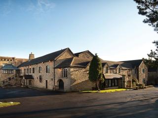
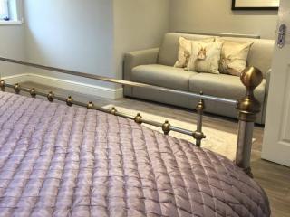
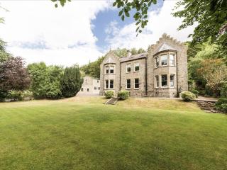
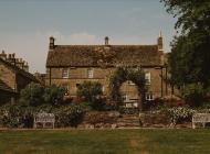
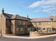
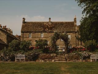
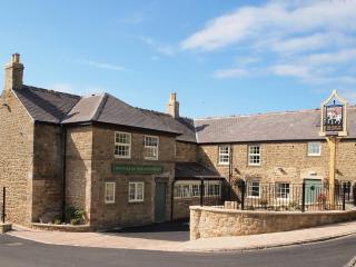
Nearby places to stay
View all (8)