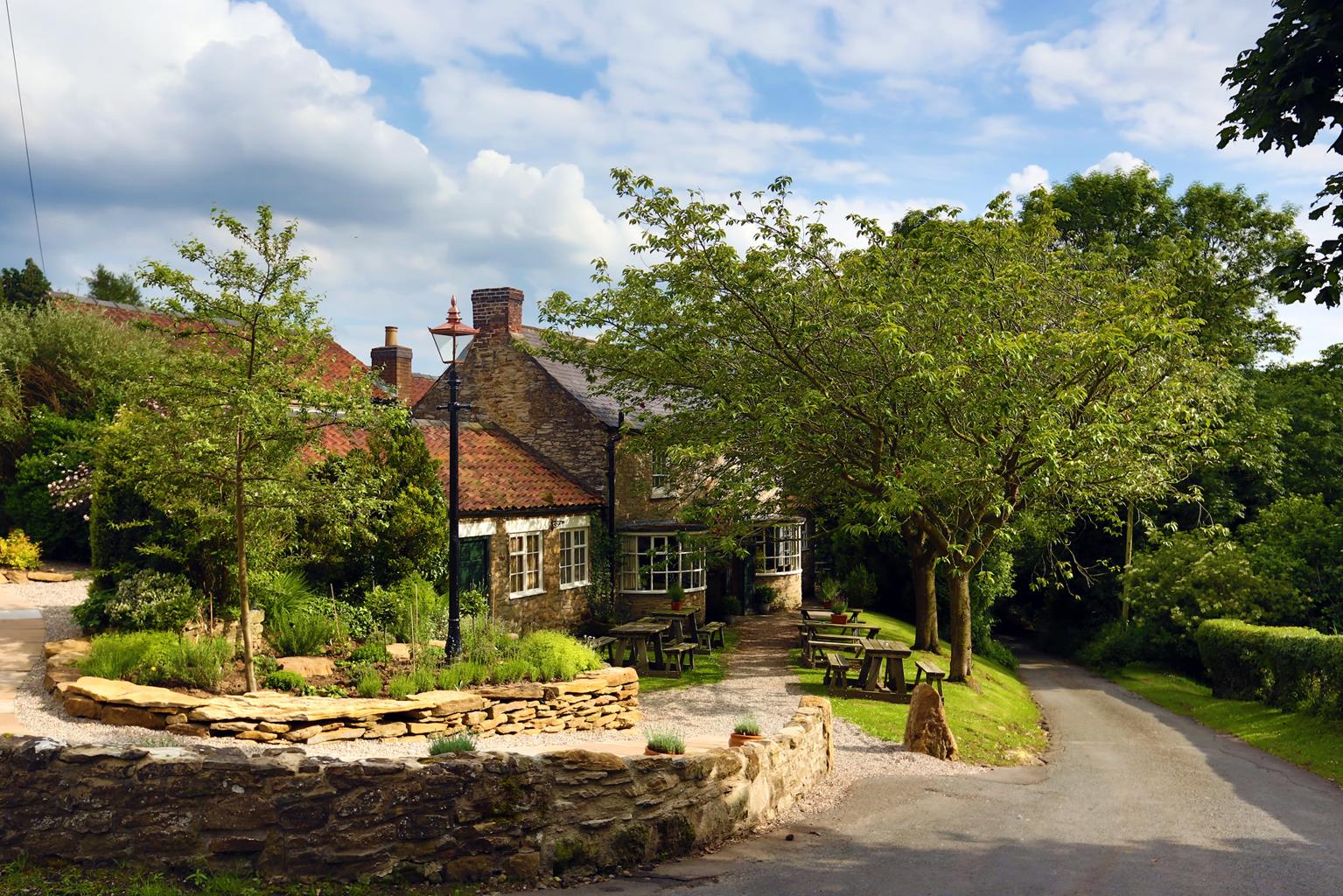
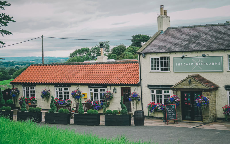
The Carpenters Arms
Taking pride of place in a charming Yorkshire village this modern and popular inn sets a high…

Boltby
7.25 miles (11.7kms)
The western boundary of the North York Moors National Park passes just outside the village of Boltby. It is a delightful, small-scale place, with a tiny 19th-century chapel and stone-built houses with red pantiled roofs typical of the area. Despite its size, it used to have two pubs, as well as a tailor, a shoemaker, a butcher, a blacksmith and three masons. The single village street is crossed by the Gurtof Beck – pedestrians have their own ancient humpback stone bridge, from where the walk begins.
The farm at Tang Hall has more ancient origins than you might think. Just before you reach it, you will notice deep ditches beside the path, sometimes filled with water. These are the remains of a moat which once surrounded a medieval manor house on the site. A little further on, the parkland of Southwoods Hall is typical of the managed landscapes of the 18th century. There are fine beech, lime and larch trees, as well as a cedar of Lebanon.
Gormire Lake is one of very few truly natural stretches of water in North Yorkshire. It was formed after the last ice age, when meltwater from the ice sheet that covered the Vale of York found its way blocked and collected in the depression formed. Accessible only on foot, the lake is edged in summer with a wide variety of plants including the tufted loosestrife. Gormire is said to be haunted by the ghost of a knight who tricked the Abbot of Rievaulx into lending him a horse, and plunged over Whitestone Cliff to his death in the lake, pursued by the Devil.
On top of Boltby Scar, just as you begin to descend from the Cleveland Way back to the village, are the scant remains of a Bronze Age hill fort, one of several along the edge of the Moors. It was 2.5 acres (1ha) in extent, and surrounded by an earth rampart and ditch on three of its five sides – the others were protected by the cliffs. It was mostly destroyed by ploughing in the late 1950s.
From the small humpback bridge in the centre of Boltby village, follow the signed public footpath along the stream to a gate, and through three more gates to pass over a small footbridge to a stile. Continue following the stream; cross a gated footbridge, go over a stile and on through a gate, then bear left over the stream and right to a gated stone footbridge.
Cross the bridge and bear right to continue over two stiles, then go straight on beside the hedge, to go through two gateways onto a metalled track at Tang Hall.
Turn left and, at the end of the farm buildings, turn right by a sign to Southwoods and through a gate to go diagonally left across the field; the route is marked by stones. At the end of the field, go through two gates then continue with a wire fence on your right. The path bends left; go through a kissing gate on the right..
Where the track bends left, go right by a post to a stile. Beyond, follow the hedge on your right. After a pantiled barn, go over a stile on the right and continue along the hedgeside. At the end, go half left to a wide stile in the field corner. Follow the ridge, eventually bearing right to a metal gate that leads to a narrow path and a gate onto a road. Go straight ahead on the road, bearing left by the ford, and follow the winding and rising lane. Just beyond Cleaves Barn turn right through a gate and down a track
Go through a metal handgate and follow the fence to another gate. Follow the fence as it bends left, to descend through woodland to a wooden stile. After it, turn left and continue through woodland, climbing steeply, passing a sign to Gormire and eventually descending to the lake. Continue ahead, bearing left at a fork and left again, to stay alongside the lake going anti-clockwise.
At a signpost turn right, uphill, signed ‘Permissive Footpath Nature Trail and Visitor Centre’. Climb past a fence and a ‘Garbutt Wood’ sign, and turn right where a ‘Southwoods’ sign points left. Continue uphill to reach a signpost.
Turn left, signed ‘Sneck Yate’, and follow the Cleveland Way footpath for about 1.25 miles (2km) along the ridge, until you reach a bridleway sign to Boltby to the left. Descend to a gate then go straight ahead on the woodland ride, crossing a track to a gate.
Continue ahead down the field, through a gate, and follow the track round to the right, through a wood. At a signpost, turn right towards Boltby, to continue to a gate. Descend to a gate onto a lane. Follow the lane through another gate. Cross the stream by a footbridge and continue up the metalled lane. At the T-junction in the village, turn left back to the humpback bridge where the walk began.
Mostly easy field and woodland paths, but some very steep sections, especially from Gormire Lake up to the Cleveland Way; 6 stile
Farmland, woodland and moorland ridge
Dogs should be under strict control throughout but can probably be off leads on Cleveland Way
OS Explorer OL26 North York Moors, Western Area
Roadside parking in Boltby village
None on route
Read our tips to look after yourself and the environment when following this walk.
North Yorkshire, with its two National Parks and two designated Areas of Outstanding Natural Beauty, is England’s largest county and one of the most rural. This is prime walking country, from the heather-clad heights of the North York Moors to the limestone country that is so typical of the Yorkshire Dales – a place of contrasts and discoveries, of history and legend.
The coastline offers its own treasures, from the fishing villages of Staithes and Robin Hood Bay to Scarborough, one time Regency spa and Victorian bathing resort. In the 1890s, the quaint but bustling town of Whitby provided inspiration for Bram Stoker, who set much of his novel, Dracula, in the town. Wizarding enthusiasts head to the village of Goathland, which is the setting for the Hogwarts Express stop at Hogsmeade station in the Harry Potter films.
York is a city of immense historical significance. It was capital of the British province under the Romans in AD 71, a Viking settlement in the 10th century, and in the Middle Ages its prosperity depended on the wool trade. Its city walls date from the 14th century and are among the finest in Europe. However, the gothic Minster, built between 1220 and 1470, is York’s crowning glory.
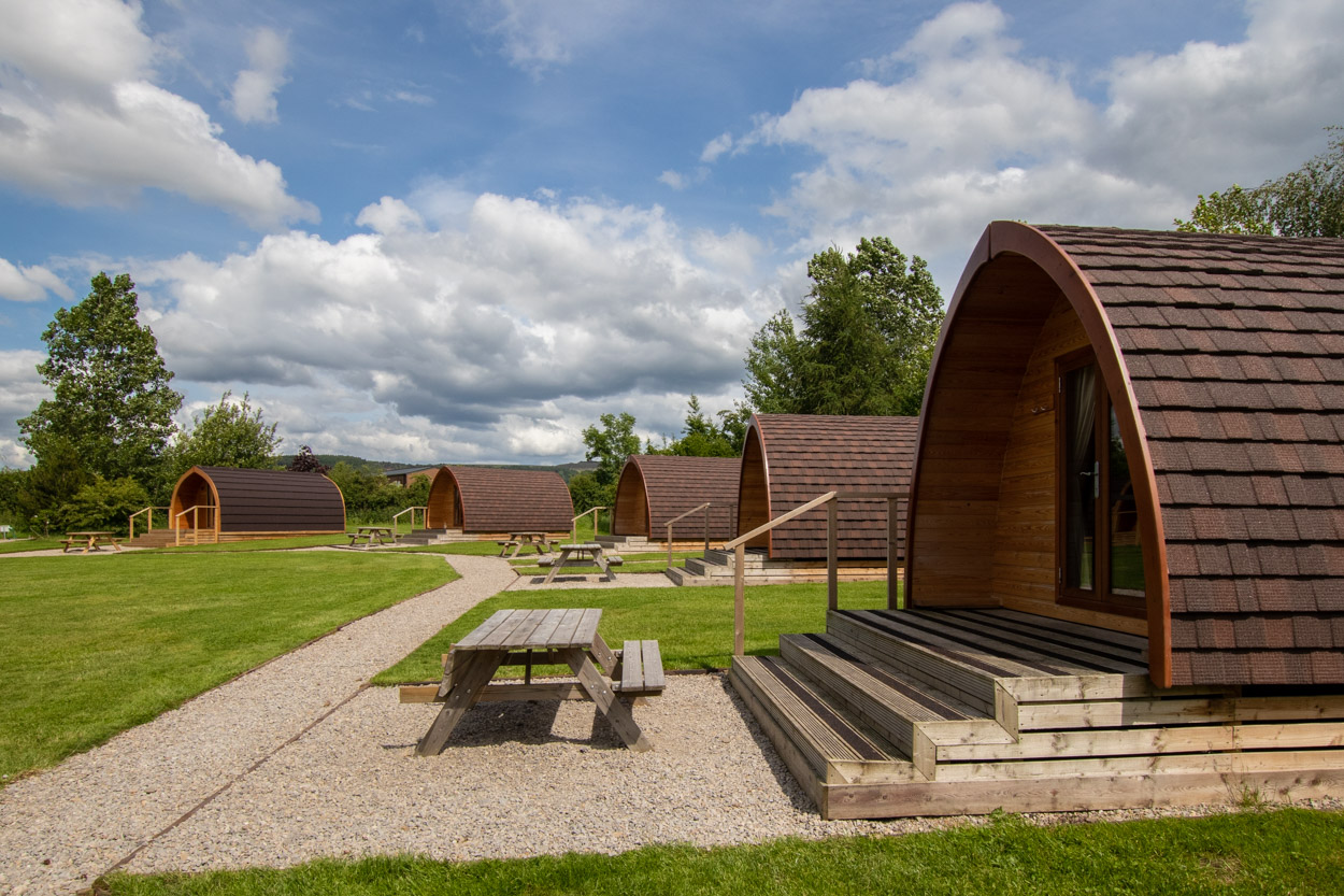
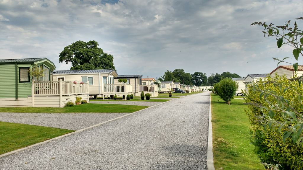
Discover more than 15,000 professionally rated places to stay, eat and visit from across the UK and Ireland.
Choose a place to stay safe in the knowledge that it has been expertly assessed by trained assessors.
Search by location or the type of place you're visiting to find your next ideal holiday experience.
Read our articles, city guides and recommended things to do for inspiration. We're here to help you explore the UK.