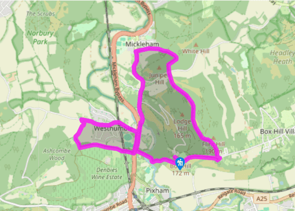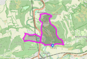
Box Hill to Westhumble
Recommended by

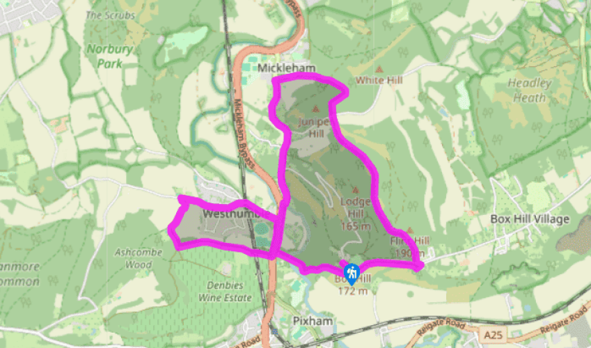
Walk directions
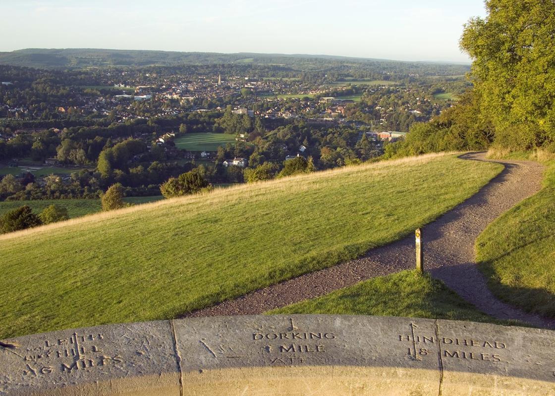
With your back to the visitor centre, turn right along the road to the viewpoint. Leave the viewpoint via the path to the left and follow the North Downs Way (NDW) signpost, the path running parallel with the road.
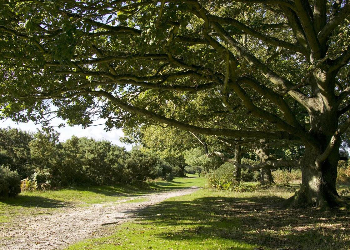
Continue until you reach the car park of the Smith and Western Bar, Grill and Diner and turn left to cross the road and turn left onto the signposted public bridleway. Follow the signposted route to a five-way junction and keep going straight ahead (third turning). The path descends to the valley bottom and emerges from woodland and then through the grasslands of Juniper Bottom to Headley Lane via a gate.
View all directions
Additional information
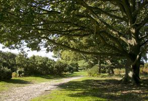
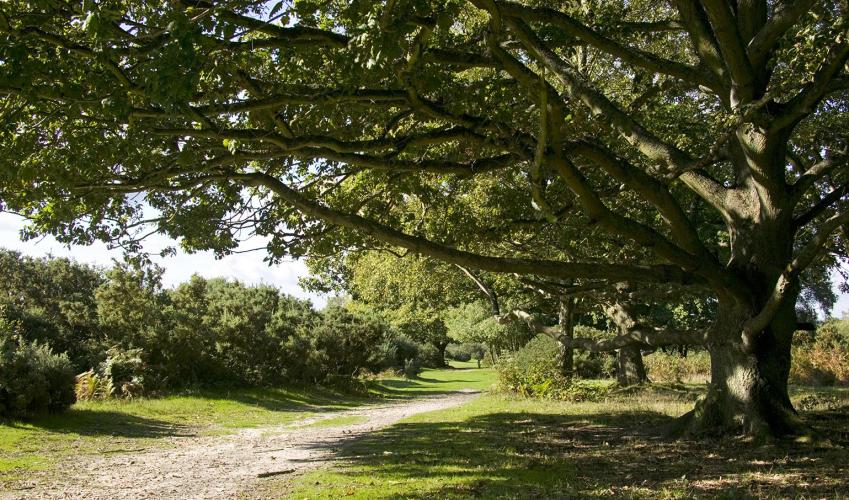
Terrain
- Woodland tracks, with two sections on minor roads, 1 stile
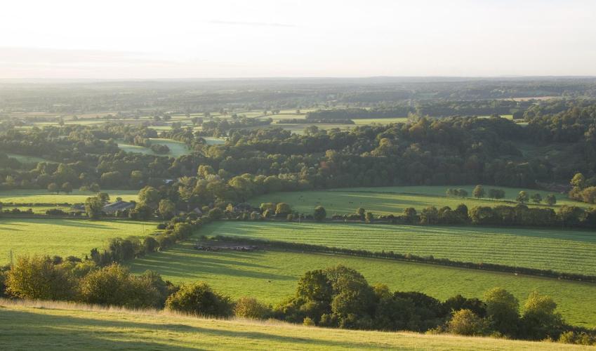
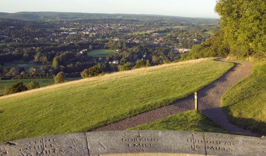
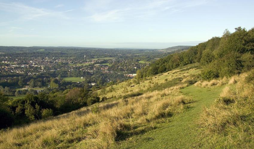
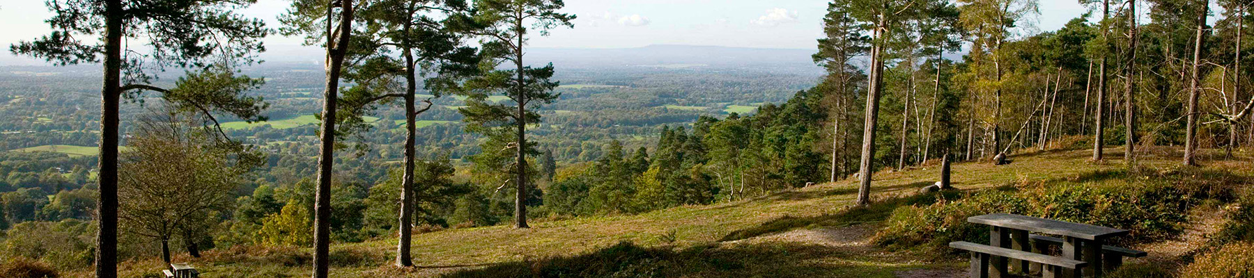
Landscape
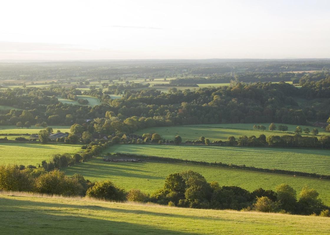
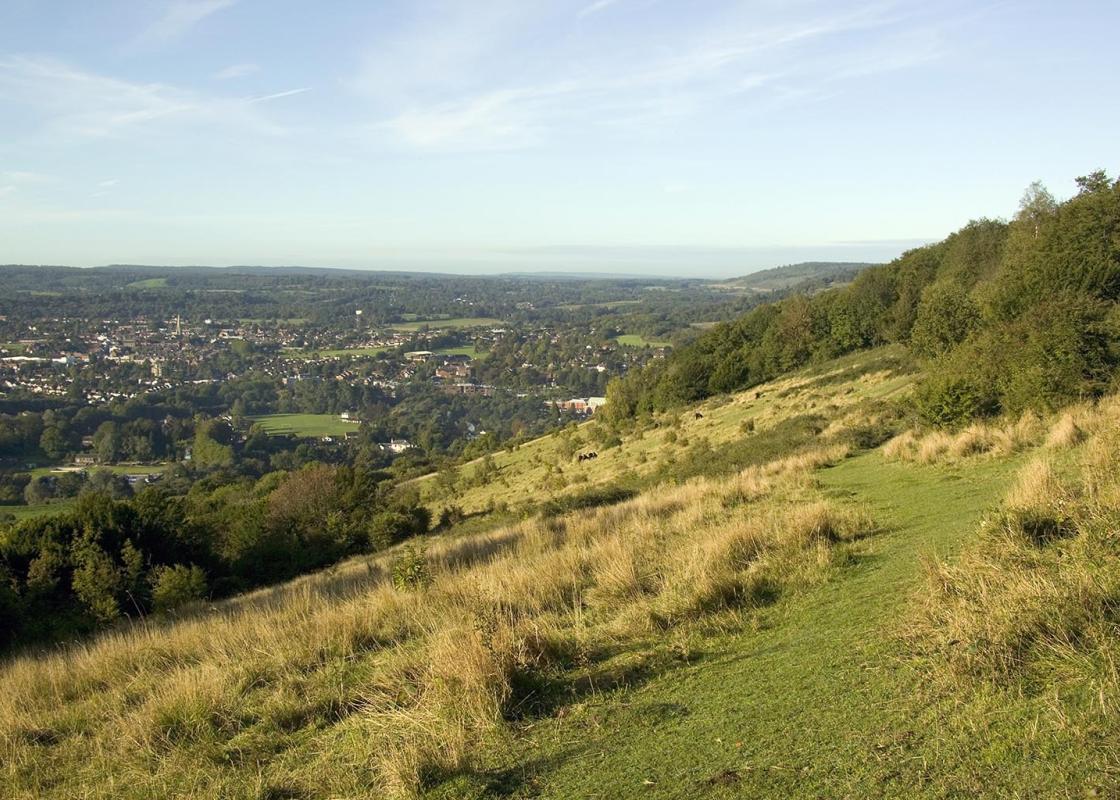
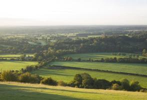
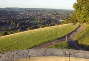
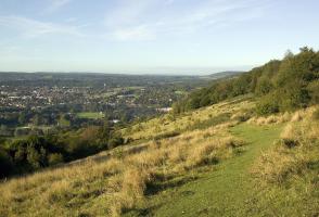
- Mainly wooded, but with some breathtaking views and a pretty village
Dog friendliness
- Some roadside sections and grazing animals; must be on leads on Denbies Wine Estate
Parking
- National Trust car park at Box Hill Country Park
Toilets en route
- At the start
About the walk
Just after leaving the car park, you’ll notice a drive to a private house on your right. This is Swiss Cottage, home to John Logie Baird during the 1920s and 1930s. Baird had trained as an electrical engineer, but spent his early life on a variety of hare-brained projects that ranged from curing...
Read more

Been on this walk?
Send us photos or a comment about this route. Or recommend a route of your own.

Walking in Safety
Read our tips to look after yourself and the environment when following this walk.

Get an AA guide
Explore our range of ‘50 Walks in’ guides - they’re the ideal companion for a ramble.
Been on this walk?
Send us photos or a comment about this route. Or recommend a route of your own.
Walking in Safety
Read our tips to look after yourself and the environment when following this walk.
Get an AA guide
Explore our range of ‘50 Walks in’ guides - they’re the ideal companion for a ramble.
About the area
Surrey is one of England’s most wooded counties, with over a quarter of the landscape designated as an official AONB and plenty of history evident in the countryside. You’ll find sandy tracks, cottage gardens and welcoming village inns, and on the fringe of Greater London you can picnic in Chaldon’s hay meadows, explore the downs at Epsom, or drift idly beside the River Thames.
Nearby places to stay
View all (8)


Nearby places to stay
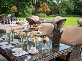
Reigate Manor
On the slopes of Reigate Hill, Reigate Manor is ideally located for access to the town and for motorway links. A range of public rooms is provided along with a variety of function rooms...
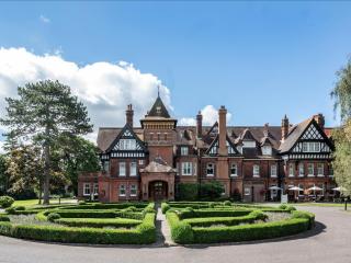
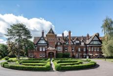
Woodlands Park Hotel
Originally built for the Bryant family of the matchmaking firm Bryant & May, the Woodlands Park Hotel, a traditional Victorian mansion, enjoys an attractive parkland setting in ten and ...

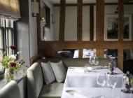
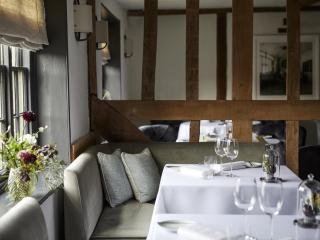
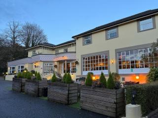
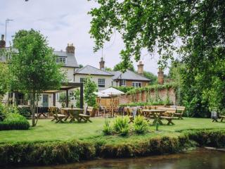
The Kings Head
Tucked away in a tranquil village in the Surrey Hills, The Kings Head offers three very comfy and stylish bedrooms. The team are extremely friendly and the kitchen sends out delicious a...
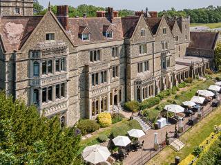
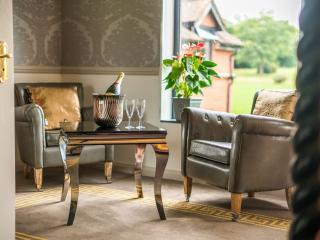
Nutfield Priory Hotel & Spa
Nutfield Priory is a country house that dates back to 1872 and is set in 40 acres of grounds with stunning views over the Surrey countryside. The hotel offers a range of individually ap...
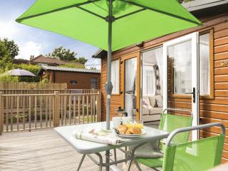
Edgeley Country Park
Within 45-minutes of central London and Gatwick Airport, but a whole world away from the stresses of everyday life, Edgeley Country Park is an idyllic retreat. Tucked away in 26 acres o...
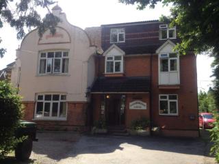
Gainsborough Lodge
Close to Gatwick, Gainsborough Lodge is a fine Edwardian house. Its bright, recently refurbished bedrooms are comfortably appointed, and a Continental breakfast is served in the-dining ...
The Drummond at Albury
The Drummond at Albury is well located for a weekend away in the tranquillity of the Surrey Hills, and is popular with business guests looking for somewhere a bit less corporate than on...
Guildford Manor Hotel
Guildford Manor Hotel is a contemporary hotel located in the tranquillity of the Surrey Hills countryside – it's the ideal place to celebrate special occasions and have a relaxing weeke...
Places to eat nearby View all