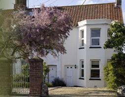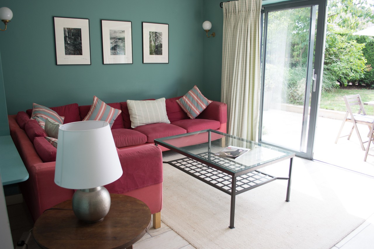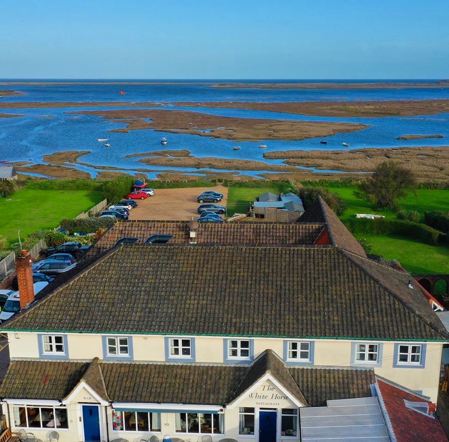
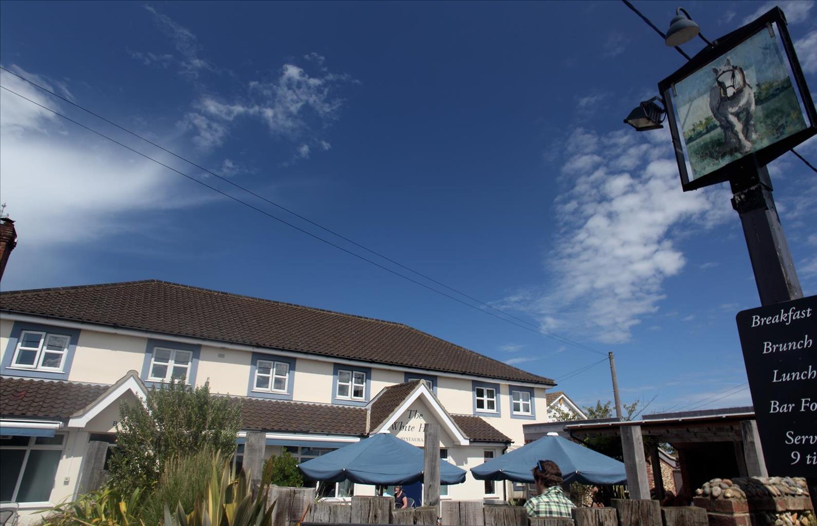

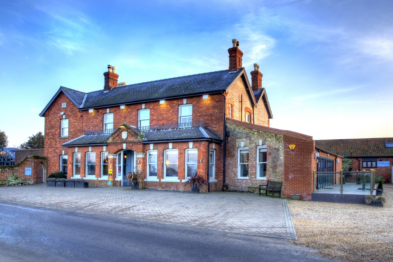


The White Horse
A taste of north Norfolk living, The White Horse is a charming hotel situated on the coast with…

The air is rich with the scent of the sea as you walk from Brancaster to its Roman fort
Brancaster
4.5 miles (7.2kms)
Some time around AD 240–250 the Romans came to Brancaster and built a fort. It was square with a tower at each corner. Between the towers was a curtain wall about 10ft (3m) thick, and there was a gate halfway along each of the four walls. In addition to this, they added a wide ditch, so that any attackers would have to climb down it and up the other side – all the while bombarded with arrows and stones from the defenders above. They reinforced the walls by adding a rampart inside.
The fort of Branodumun was quite large – about 6.5 acres (2.6ha), and was probably built over a site that had been levelled by previous occupants. Although it lies in a field that is about a mile (1.6km) from the sea today, when the Romans built their fort it was right on the estuary. It was a fabulous location, because not only did it provide good access to the sea, but it was near the Peddars Way, an important line of communication in Roman times.
By the 4th century, the civilian population that relied on the fort's protection had moved away from Branodunum. The military settlement survived for a while as the most northerly of the Saxon Shore fort systems designed to protect the Dalmatian cavalry against Anglo-Saxon raids, but eventually it was abandoned. You will not see much of the fort, except for some earthworks covered in vegetation, but walking around the field will give you an idea of its size.
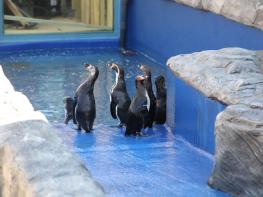
The fort is now in the care of the National Trust, which owns around 2,000 acres (810ha) of the coast, and comprising 4 miles (6.4km) of tidal foreshore. The entire region, with its salt marshes, mudflats and sand dunes, is a haven for wildlife and you might expect to see redshank, greenshank, sharp-eyed gannets with their dazzling white plumage, and the delicate common and Sandwich terns. Watching and waiting patiently for a chance to grab a sick, weak or careless bird is the Arctic skua, a fierce scavenger-predator, which is a summer visitor. When you are out in the marshes take the opportunity to stop, close your eyes and listen – to the hiss of wind in long grass, the muted roar of distant waves and the piping whistles of birds. The countryside is never completely silent and it is always a restful experience to hear the many sounds of nature.
Walk into the area owned by the Sailing Club and, just before the slipway, you will see the National Trail marker on your left. Go through the kissing gate and stroll along the boardwalk edging the marshes. Continue ahead and pass a brick and flint house.
Turn left and leave the coastal path, going through a kissing gate to enter a large field with an interpretive sign about Branodunum. This is Rack Hill, the area that houses the Roman fort. Follow the right-hand side of the field until you reach another kissing gate. Cross the lane through another kissing gate. Head for the opposite left corner of the field. You can follow the path to either left or right around the field edge, or cut straight across the middle. Go through the kissing gate and cross the A149 onto Green Common Lane. The track bends twice, but follow it until it comes to a gate and footpath junction to your left. Continue straight along the grassy track between the hedges.
Here you enter Barrow Common nature reserve. At the seat you have the choice of three paths. Take the middle one, and keep straight on as you pass other junctions. You will eventually exit onto a peaceful paved lane. Turn right and follow the lane down a fairly steep hill.
Turn left at the junction. Across from here, during the early summer, are fields of poppies. Continue until you reach a wood, where you may hear the lilting song of nightingales.
The road bends sharply left, and a short section of footpath allows you to cut the corner. The road has a broad, grassy verge you can walk on for most of the way.
Cross the A149 with care and turn right. After a few paces take the first left down The Drove, opposite the garage and post office. At the end of the lane is a sign for the coast path. Follow it down a narrow, tree-lined track until it emerges onto marshes and the main Norfolk Coast Path.
Turn left and walk along the path until you see the yacht masts of the Sailing Club. Reach a small boatyard, then follow the trail through wooden huts. The next buildings are home to the Sailing Club itself, before you reach the car park.
Winding paths and tracks, with some paved lanes
Salt marshes, mudflats, farmland and common
On lead in nature reserves and farmland; note dog-free areas on beaches
AA Walker's Map 21 North Norfolk Coast
Near National Trust's Dial House or in lay-by on A149 on edge of Brancaster Staithe
None on route
Read our tips to look after yourself and the environment when following this walk.
The North Norfolk Coast is designated an Area of Outstanding Natural Beauty and probably the finest of its kind in Europe. Here you’ll find a string of quaint villages and small towns – Holkham, Wells-next-the-Sea and Cley next the Sea are 21st-century favourites, while Sheringham and Cromer are classic examples of a good old-fashioned seaside resort where grand Victorian hotels look out to sea. Further round the coast you'll find Great Yarmouth, one of the most popular resorts in the UK and packed full of amusements, shops and seashore entertainment. And let's not forget Norwich, the region's only city.
Norfolk prides itself on its wealth of historic houses, the most famous being Sandringham, where Her Majesty the Queen and her family spend Christmas. Many of Norfolk’s towns have a particular charm and a strong sense of community. The quiet market towns of Fakenham and Swaffham are prime examples, as well as Thetford, with its popular museum focusing on the TV comedy series Dad’s Army which was filmed in the area.
Discover more than 15,000 professionally rated places to stay, eat and visit from across the UK and Ireland.
Choose a place to stay safe in the knowledge that it has been expertly assessed by trained assessors.
Search by location or the type of place you're visiting to find your next ideal holiday experience.
Read our articles, city guides and recommended things to do for inspiration. We're here to help you explore the UK.